Category Archives: Maps
Ultimate Cycling Trips: World
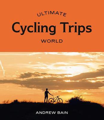
Ultimate Cycling Trips: World features 35 handpicked destinations for the best slow travel on two wheels. Including detailed descriptions, suggested itineraries, maps, photos and even interviews with world cyclists, Ultimate Cycling Trips: World is the perfect guide for planning your own cycling adventure. There are trips to suit every fitness level, from riding through the
Japan Map Puzzle: 500-Piece Jigsaw Puzzle
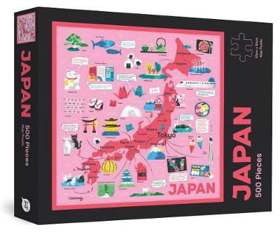
Brush up on your Japan knowledge while you zen out with some puzzling with the Japan Map Puzzle. This 500-piece square puzzle (51cm x 51cm) features a beautiful overview map of the country, accompanied by fun illustrations and facts. The perfect gift or keepsake for Japanophiles of all ages (5 years and up).
Malouf – New Middle Eastern Food

Following on from the success of their award-winning books, Saha, Turquoise and Saraban, Greg and Lucy Malouf now offer a must-have collection of their delicious recipes. Middle Eastern food is one of the oldest and most sophisticated cuisines in the world. It`s a cuisine that is subtle, elegant and alluring, using exotic spices such as
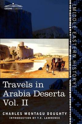
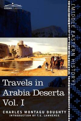
Saudi Inc
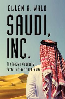
The Saudi royal family and Aramco leadership are, and almost always have been, motivated by ambitions of long-term strength and profit. They use Islamic law, traditional ideology, and harsh justice to maintain stability and their own power, but underneath the thobes and abayas and behind the religious fanaticism and illiberalism lies a most sophisticated and
The Food of Vietnam
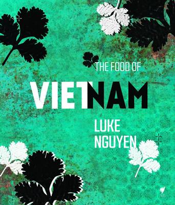
Tying in with Luke`s immensely popular SBS TV show, Luke Nguyen`s Vietnam, this book follows his trip from southern Vietnam up to the north, through the marketplaces, backyards and kitchens of strangers and family alike. In addition to the stunning location photography and mouth-watering food shots, Luke`s records of his experiences with the people he
An Atlas of Geographical Wonders: From Mountaintops to Riverbeds
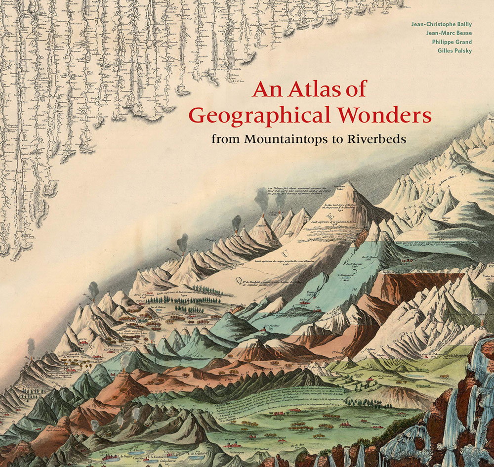
This is the first book to catalog comparative maps and tableaux that visualize the heights and lengths of the world`s mountains and rivers. Produced predominantly in the nineteenth century, these beautifully rendered maps emerged out of the tide of exploration and scientific developments in measuring techniques. Beginning with the work of explorer Alexander von Humboldt,
A Slice through America: A Geological Atlas
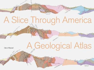
Historic stratigraphic illustrations depict the earth beneath our feet in captivating hand-drawn diagrams. Each drawing tells a unique geologic story, exquisitely rendered in colors from pastel palettes to brilliant bolds that show evolving scientific graphic conventions over time.Created by federal and state geologists over the course of one hundred years, the maps reveal sedimentary rock

Bikenomics: How Bicycling Can Save the Economy
HOW DUMPING YOUR CAR AND JUMPING ON A BIKE CAN BENEFIT THE ECONOMYAn instant classic when it was first published in 2013, BIKENOMICS has been revised and updated for its second edition, including a new introduction by the author.Elly Blue`s BIKENOMICS provides a surprising and compelling new perspective on the way we get around, where

The Cyclist`s Bucket List
The smell of lavender at a roadside picnic, waiting for the Tour de France to race past. The Pacific Ocean view from the 10,000-foot summit of Hawaii`s Haleakala volcanic crater (after 5 hours of uphill riding). A fresh Fat Tire ale hitting your lips at the new Belgium brewery in Fort Collins, Colorado. These, and
Best Coast: A Road Trip Atlas: Illustrated Adventures along the West Coast`s Historic Highways
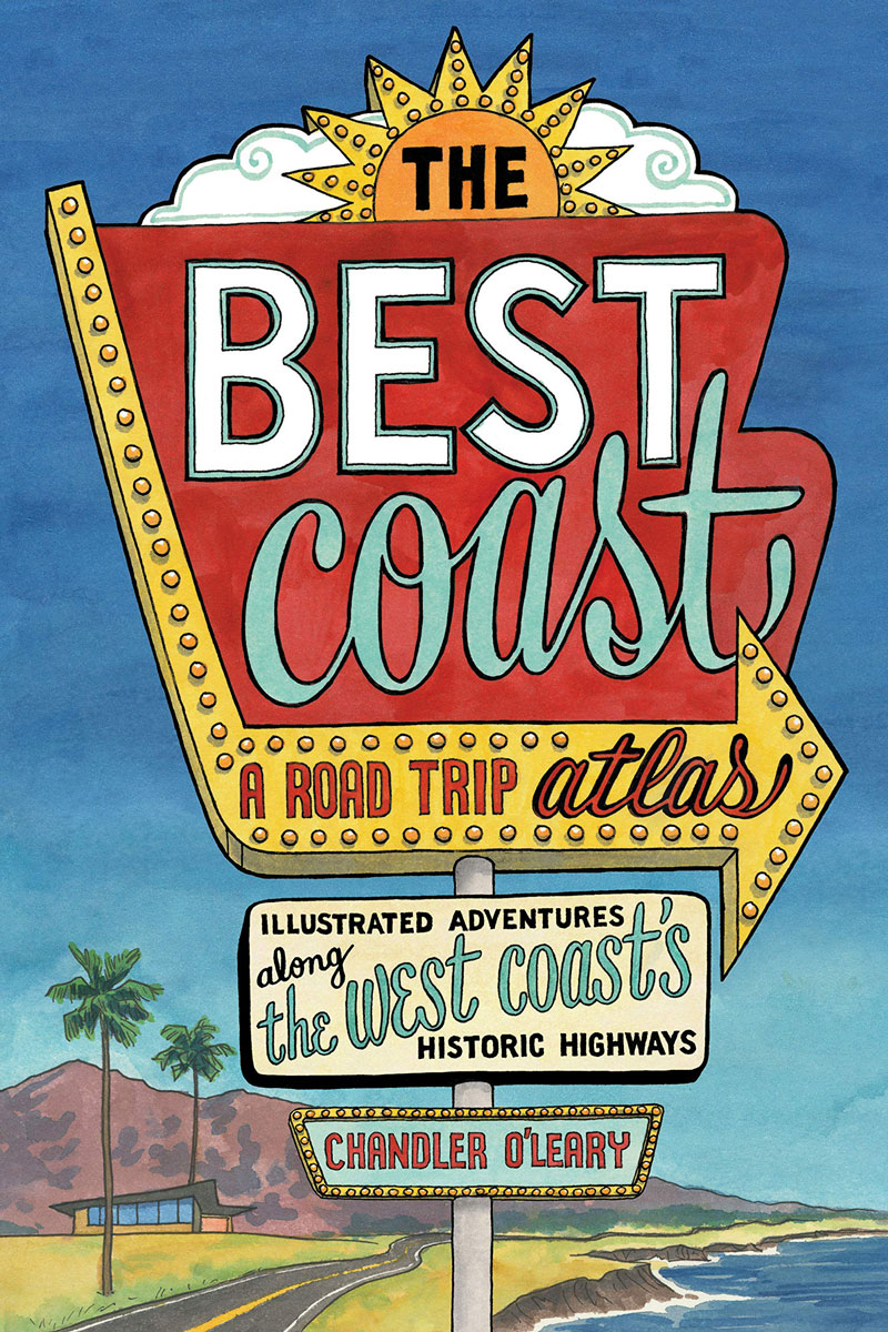
From a co-author of the award-winning `Dead Feminists`, this quirky illustrated book covers historic routes up and down the West Coast by showcasing roadside attractions, beloved landmarks, hidden history, and other offbeat delights for armchair travelers and road-trippers alike. The perfect inspiration for a trip along the coast, or to simply savour as a love
The Art of Map Illustration: A step-by-step artistic exploration of contemporary cartography and mapmaking
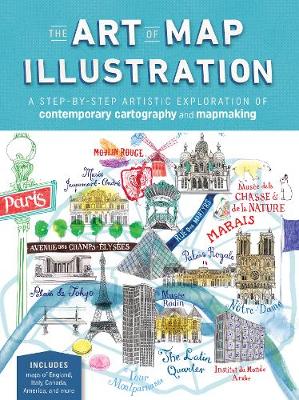
In The Art of Map Illustration, four well-known artists take you on a journey through their unique techniques to mapmaking with a range of media, including pen and ink, watercolor, and mixed media, plus tips and advice for working digitally.Each artist provides a brief overview of his or her recommended tools and materials, along with
Magnificent Delusions: Pakistan, the United States, and an Epic History of Misunderstanding
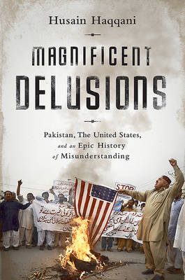
The relationship between America and Pakistan is based on mutual incomprehension and always has been. Pakistan–to American eyes–has gone from being a quirky irrelevance, to a stabilizing friend, to an essential military ally, to a seedbed of terror. America–to Pakistani eyes–has been a guarantee of security, a coldly distant scold, an enthusiastic military enabler, and
Rick Steves Iceland Planning Map
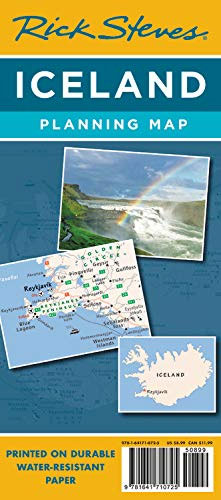
Designed specifically for Rick Steves fans, this map highlights choice destinations throughout Iceland in a colorful, easy-to-use format on high-quality paper that lasts over many trips: Cuts the Clutter: While big cities are left for navigational purposes, this map is otherwise stripped clean and filled in only with places that matter to travelersGuidebook-Friendly: At a
A River Runs Again: India`s Natural World in Crisis, from the Barren Cliffs of Rajasthan to the Farmlands of Karnataka
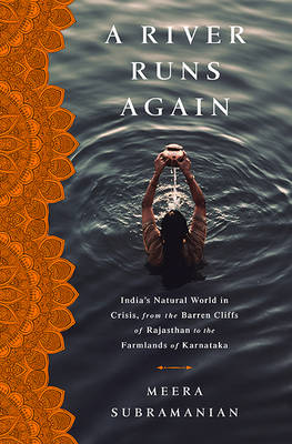
Crowded, hot, subject to violent swings in climate, with a government unable or unwilling to face the most vital challenges, the rich and poor increasingly living in worlds apart; for most of the world, this picture is of a possible future. For India, it is the very real present. In this lyrical exploration of life,