Category Archives: Maps
Africa Overland – Cairo to Cape Town ITMB Travel Atlas
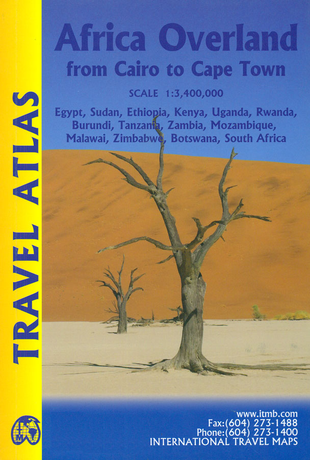
The Cairo to Cape Town Route presented by ITMB in a handy-size A5 paperback atlas with extracts from the publishers’ mapping of the continent at 1:3,400,000, plus 50 additional pages of large city centre street plans of main cities and/or popular locations such as Victoria Falls. Coverage of the countries along the route is indicated
Andorra & Pyrenees ITMB
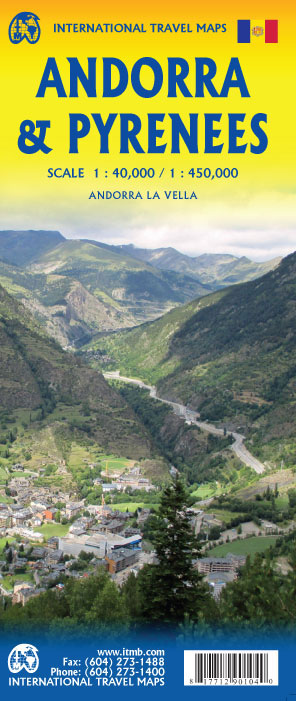
The Pyrenees mountain chain straddling the border between France and Spain on one side, with historic Andorra on other side. As is normal with ITMB maps combining two areas at different scales, the map has two covers, so can be marketed equally well as Andorra or as Pyrenees.The coverage of Pyrenees goes from the Atlantic
Western Cape Map Studio
Road map of the Western Cape Province at 1:500,000 with an enlargement for the Cape Peninsula and 27 street plans of the central areas in main towns. The map is annotated numerous places of interest, vineyards, etc and GPS coordinates are marked on important road junctions. The map is double-sided, dividing the province east/west, and
Australia East Coast ITMB
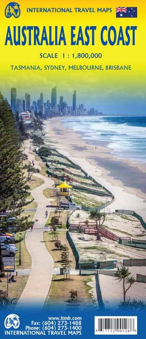
This is a brand new title for ITMB and is based on the travel reality that most visitors to Australia concentrate on Queensland and New South Wales. This double-sided map begins at Australia s northernmost point of Cape York and proceeds southward through Queensland, New South Wales, and Victoria; in essence covering the portion of
How to Understand Israel in 60 Days or Less
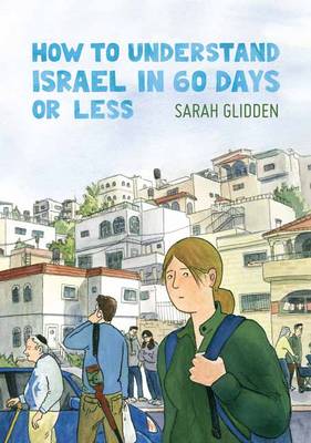
Sarah Glidden is a progressive Jewish American twenty-some- thing who is both vocal and critical of Israeli politics in the Holy Land. When a debate with her mother prods her to sign up for a Birthright Israel tour, Glidden expects to find objective facts to support her strong opinions. During her two weeks in Israel,
Alberta ITMB
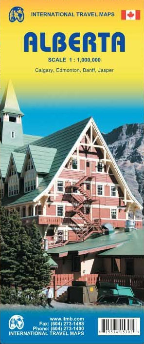
Alberta at 1:1,000,000 on a double-sided, indexed map from the Vancouver-based ITMB, with topography presented by altitude colouring rather than by just relief shading, with street plan of central Edmonton and Calgary, plus of Banff and Jasper resorts. Coverage includes the whole of the Banff and the Jasper National Parks.Road and rail networks are presented
Canada ITMB
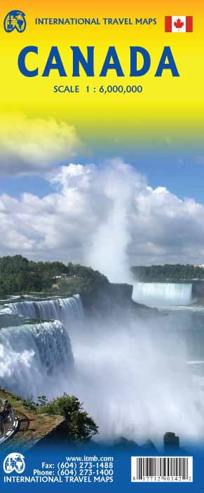
Canada at 1:6,000,000 from the Vancouver-based ITMB, providing an overview of the country with altitude colouring, provincial boundaries, main roads and railways. Coverage extend north beyond 80ยฐ to include the whole of Ellesmere Island.The map is a reproduction of a title published by the Canadian national survey organization, Natural Resources Canada, as part of the
4×4 Routes Through Southern Africa
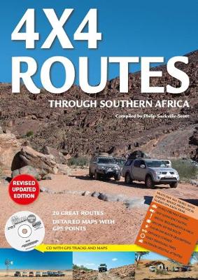
4×4 Routes Through Southern Africa guide plus a CD from the South African publishers Map Studio with maps annotated with GPS waypoints, tips for preparation and best times to travel, and day-by-day descriptions of 20 recommended best 4WD routes across the region.Each route is shown on a map annotated with GPS waypoints for road junctions,

Garden Route & Route 62 Map Studio
The Garden Route along South Africa’s southern coast on a double-sided map from Map Studio with coverage including an alternative route R62 further inland and GPS waypoints for main locations or road junctions. Numerous street maps, annotated with accommodation and tourist facilities, are provided for main towns.The map presents the route on a plain base

Africa Central & South Map Studio
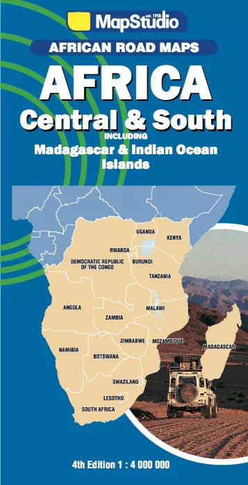
Central and Southern Africa at 1:4,000,000 on a large route planning map from Map Studio, South Africa’s leading map publishers, providing an overview of the road network and rail connections, with numerous national parks and other protected areas prominently highlighted. Coverage extends north to include the whole of Equatorial Guinea, Gabon, Congo, Uganda and Kenya,
Africa Cape to Cairo Map Studio
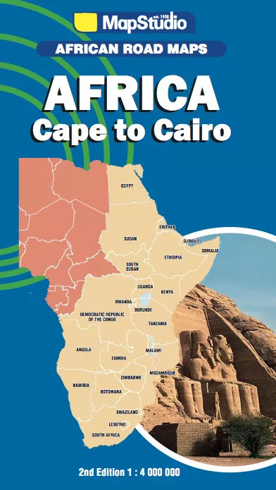
Cape to Cairo: the eastern half of Africa at 1:4,000,000 on a large route planning map from Map Studio, South Africa’s leading map publishers, providing an overview of the road network and rail connections, with numerous national parks and other protected areas prominently highlighted.Plain base map has no altitude colouring and only a few spot
Johannesburg Map Studio Pocket Map
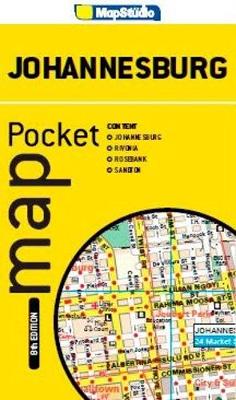
Johannesburg Pocket Tourist Map is a double-sided street plan showing on one side the city centre at 1;15,500, and on the reverse Rivonia, Sandton and Rosebank at 1;17,000. Each plan has a separate street index.Road detail includes freeways, through routes and minor roads, as well as indicating one way streets, parking facilities and petrol stations.
South Africa Map Studio Pocket Map
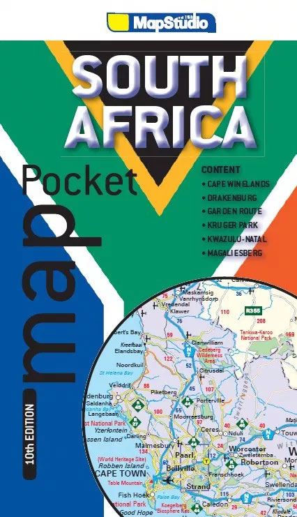
South Africa at 1:3,600,000 on a handy-size pocket map with enlargements for the Kruger National Park, Magaliesberg, Drakensberg, the Kwazulu-Natal coast, the Garden Route, and the Cape Winelands. The main map, which in addition to Lesotho and Swaziland also covers southern Namibia as far as Windhoek, southern Botswana and south-western Mozambique, shows the region`s road
Cape Town & the Peninsula Map Studio Visitors Guide
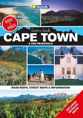
Cape Town and the Peninsula Visitor`s Guide and Atlas from Map Studio in a 24-page, A4 paperback format (5th edition, 2015), with highlighting of numerous places of interest and tourist facilities, descriptions of the area’s best sights, a winelands map, etc. Cape Town itself is shown on three maps: a street plan of its central
Lesotho Map Studio Adventure Map
Lesotho at 1: 375,000 on an indexed map from the South African publishers Map Studio, with GPS coordinates for important road junctions, locations with tourist accommodation or fuel supplies, etc, plus a street plan of central Maseru.The map uses satellite imagery enhanced by altitude colouring to present the topography of this mountainous country. Road network