Category Archives: Maps
Berlin & Eastern Germany ITMB
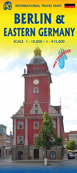
Berlin on an indexed street plan at 1:10,000 from ITMB, with on the reverse an indexed road map of Eastern Germany at 1:425,000. Coverage of the plan extends from Charlottenburg in the west to Alexander Platz in the eastern part of the city. The road map extends south to Erfurt, Gera and Chemnitz, and west
Belgium & Luxembourg ITMB
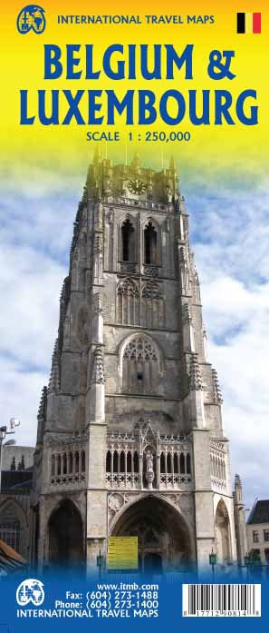
Road map of Belgium and Luxembourg by ITMB. Includes detailed city maps of Brussels and Luxembourg as well as detailed tourist information (historic sites and campsites…)
Bermuda ITMB
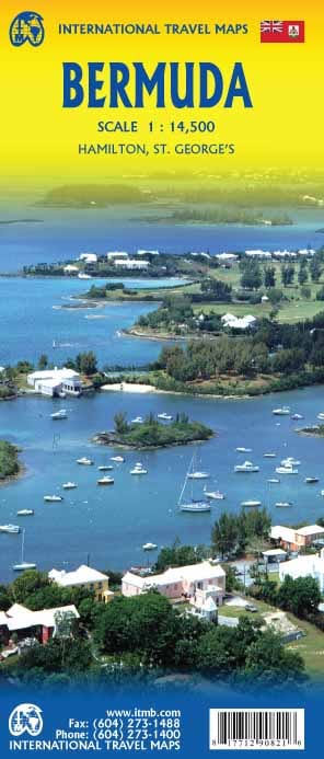
Double-sided detailed map dividing Bermuda east/west. Each half has two separate indexes: one for streets and roads and another for important places and points of interest, plus a street plan of its respective main town: St. George’s and Hamilton. Relief of the island is shown by elevation colouring. The map shows parks, numerous golf courses,
Bhutan & Northeast India ITMB
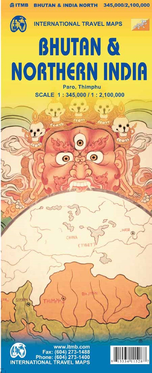
Bhutan at 1:345,000 on an indexed map from ITMB showing its topography by altitude colouring and highlighting places of interest, plus street plans of Thimpu and Paro annotated with useful tourist information and on the reverse a map of the northern half of India at 1:2,100,000.On one side is Bhutan on a map with altitude
British Columbia South ITMB
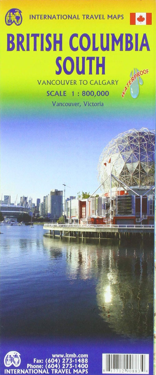
Indexed double-sided road map at 1:800,000 from ITMB of the southern part of British Columbia, extending from Vancouver Island to Calgary to cover the whole of the Banff and Jasper National Parks, with plans of downtown Vancouver and Victoria. Coverage northwards extends to include the southern part of Haida Gwai (Queen Charlotte) Islands and Prince
Bolivia ITMB
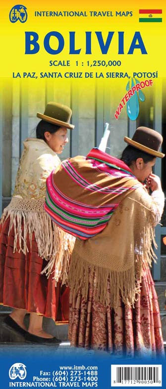
Bolivia at 1:1,250,000 on an indexed, double-sided map from ITMB, with large, clear street plans of central La Paz, Potosi and Santa Cruz highlighting various places of interest and tourist facilities.The map divides the country north/south, with a generous overlap – the area between La Paz with Cordillera Real and Cochabamba is shown on both
British Columbia ITMB
ITMB`s popular provincial map for Canada with updated road changes and new bridges. BC is not changing particularly quickly at the moment, but tens of thousands of people continue to migrate to the province each year, and its population is expected to double over the next twenty years. Thanks to its enormous size, huge tracts
Togo & Benin ITMB
Togo and Benin at 1:530,000 on a double-sided, indexed road map from ITMB with altitude colouring to show their topography, plus large street plans of the two capital cities, Lomรฉ and Porto Novo annotated with places of interest, etc.The map divides the two countries north/south with a small overlap between the sides. Topography is shown
Watsonville – Santa Cruz – Scotts Valley CA
Santa Cruz – Capitola – Watsonville area of California in a series of indexed street plans of US cities from G.M. Johnson and Associates. Five separate panels: Palm Beach, Watsonville, Santa Cruz (with additional insets for downtown Santa Cruz and Capitola), Davenport and Summit Area provide between them continuous coverage of most of the Santa
Auckland & North Island ITMB
Double-sided map combining indexed street plan of Auckland with its inner suburbs, a plan of central Wellington and a road map of New Zealand’s North Island, plus a street plan of central Christchurch thrown in as a bonus!All three street plans are at 1:12,500 and show commuter rail lines with stations, ferry lines, plus in
Sunshine Coast – Gibsons – Sechelt – Powell River BC
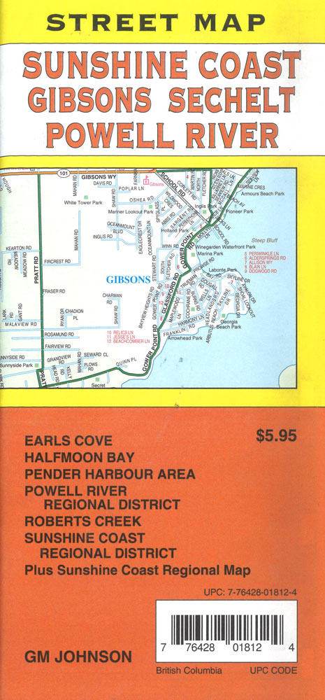
Covers Earl`s Cove, Halfmoon Bay, Pender Harbour Area, Powell River Regional District, Robert`s Creek, Sunshine Coast Regional District plus a Sunshine Coast regional map
Indian Country – the Four Corners Region AZ/CO/NM/UT
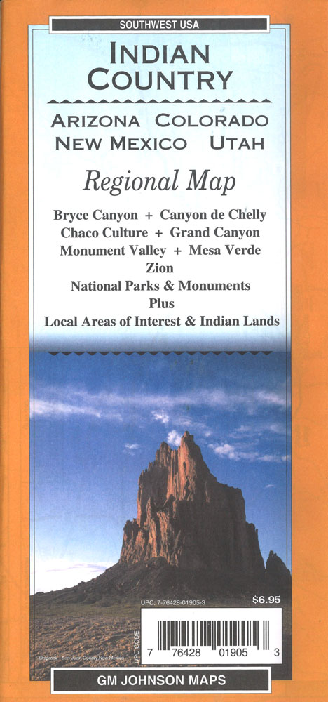
Indian Country: the Four Corners Region road map at 1:735,000 approx. from GM Johnson Associates, covering northern Arizona, southern Utah and the adjoining corners of south-west Colorado and north-west New Mexico. Enlargements provide more detailed coverage of national parks and other protected areas.On one side is a very clear road map at 1:735,000 approx. cover
Outdoor Medical Emergency Handbook: First Aid for Travellers, Backpackers, Adventurers
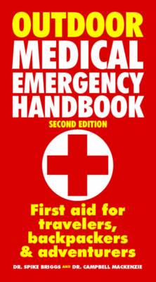
The essential guide to emergency medical procedures away from home. The Outdoor Medical Emergency Handbook provides easy-to-follow advice on how to prevent, treat and care for illnesses and injuries while outdoors or travelling. Using accurate drawings and a step-by-step format, the authors describe how to effectively assess a situation and what actions to take. The
Escape from Syria

A graphic story of intense current events. From the pen of former Lebanon Star reporter Samya Kullab comes a breathtaking and hard-hitting story of one family`s struggle to survive in the face of war, displacement, poverty and relocation. `Escape from Syria` is a fictionalized account that calls on real-life circumstances and true tales of refugee
Africa North ITMB
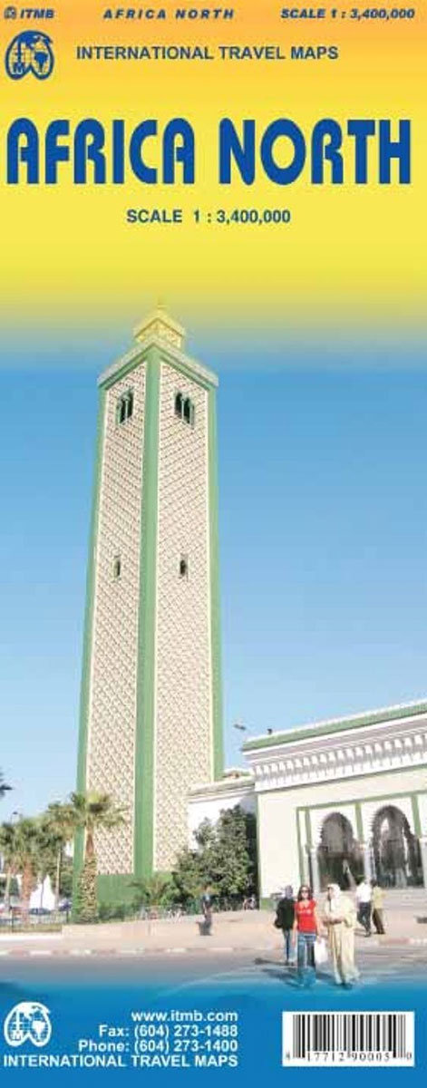
Northern Africa at 1:3,400,000 on an indexed, double-sided map from ITMB with topography presented by altitude colouring. The map divides the region east/west with a tiny overlap between the sides, extending from the Atlantic coast of Western Sahara to Sinai and the Red Sea coast of Egypt. On its western side coverage extends just south
Arizona & New Mexico ITMB
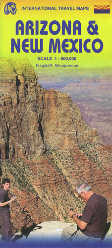
Arizona and New Mexico at 1:900,000 on an indexed, double-side map from ITMB with topography shown by altitude colouring, plus enlargements showing in greater detail Flagstaff and Albuquerque and their environs. Coverage includes las Vegas and the whole of Lake Mead. Topography is indicated by altitude colouring with bands and spot heights in feet. Road