Category Archives: Maps
France South Rail & Bike ITMB
This is a brand new title for ITMB and an attempt to portray a changing travel landscape in a mapping format. Eco-tourism is a rapidly growing activity, with enormous potential. At the same time, governments are seeking to reduce carbon pollution by encouraging train travel, so ITMB is climbing aboard the movement by publishing a
Florida Keys ITMB
Florida Keys at 1:120,000 on a double-sided, indexed map from ITMB with several insets showing most visited resorts, islands and/or nature reserves in greater detail. Numerous small islands are named.On one side are the Upper Keys, from the mainland to the Seven Mile Bridge, accompanied by insets showing at 1:35,000 plans of Key Largo, the
Easter Island & Santiago ITMB
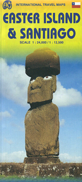
Double-sided map from ITMB combining coverage of the Easter Island at 1:24,000 highlighting locations of its famous statues and selected hotels with, on the reverse, a large, clear, indexed street plan of Santiago with a diagram of the city’s metro network.On one side is a map of the Easter Island, showing its landscape by altitude
England South & Wales ITMB

Southern England with Wales on an indexed road map at 1:400,000 from the Vancouver-based ITMB. The map is double-sided, with an overlap between the sides, and extends on its eastern side to York, and west of Birmingham to Liverpool and Manchester. Topography is indicated by altitude colouring. Road network gives the numbering of M and
Ghana ITMB
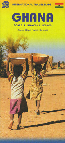
Ghana on a double-sided indexed road map from ITMB presenting the southern part of the country at 1:500,000 and the north at 1:570,000, with street plans of Accra, Cape Coast and Kumasi, plus brief notes on the country’s various places of interest. The country is divided north/south, with a small overlap between the sides. Topography
Galapagos Islands – Quito & Guayaquil ITMB
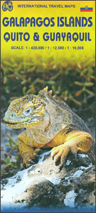
A map from ITMB conveniently combining coverage of the Galapagos Islands with street plans of Quito and Guayaquil plus road maps of the environs of both cities for those who wish to explore them on their way to or from the archipelago.On one side is a map at 1:380,000 of the Galapagos Islands with bold
Cuba West ITMB
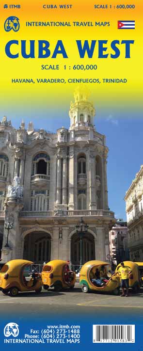
Western Cuba, with coverage extending from the island’s western tip to Camangรผey, on an indexed, double-sided map at 1:600,000 from ITMB, with an enlargement for the Greater Havana region and street plans of central Havana, Cienfuegos and Trinidad, plus the Varadero peninsula and resort.The map is double -sided with an overlap between the sides. Topography
Cuba East ITMB
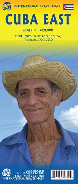
Cuba is the fastest-growing travel destination in the world. Initially, attention has favoured Havana and the western portion of the island, but tourism is rapidly transforming the eastern portion of the country into a more rustic, natural travel experience than the over-heated Varadero resorts or hectic Havana. Until now, there has never been a map
Colombia ITMB
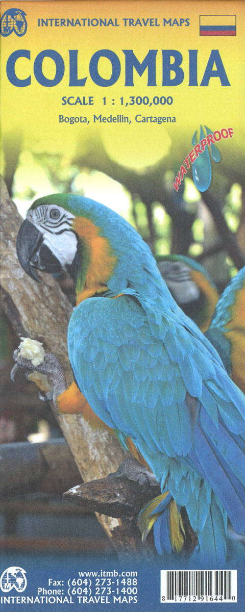
Colombia at 1:1,400,000 on a light, waterproof and tear-resistant, indexed map from ITMB with an enlargement showing the environs of Bogota in greater details, plus large street plans of central Bogota, Medellin and Cartagena annotated with hotels and places of interest. The map divides the country north/south with Bogota included on both sides. Topography is
Chile South & Patagonia ITMB

Indexed, double-sided map from ITMB combining coverage of the whole of Patagonia in Argentina and Chile at 1:2,000,000 with mapping of the southern half of Chile at 1:1,750,000, plus a street plan of Ushuaia.On one side is a map of Patagonia south of Bahia Blanca in Argentina and Temuco in Chile. Altitude colouring shows the
Chile ITMB
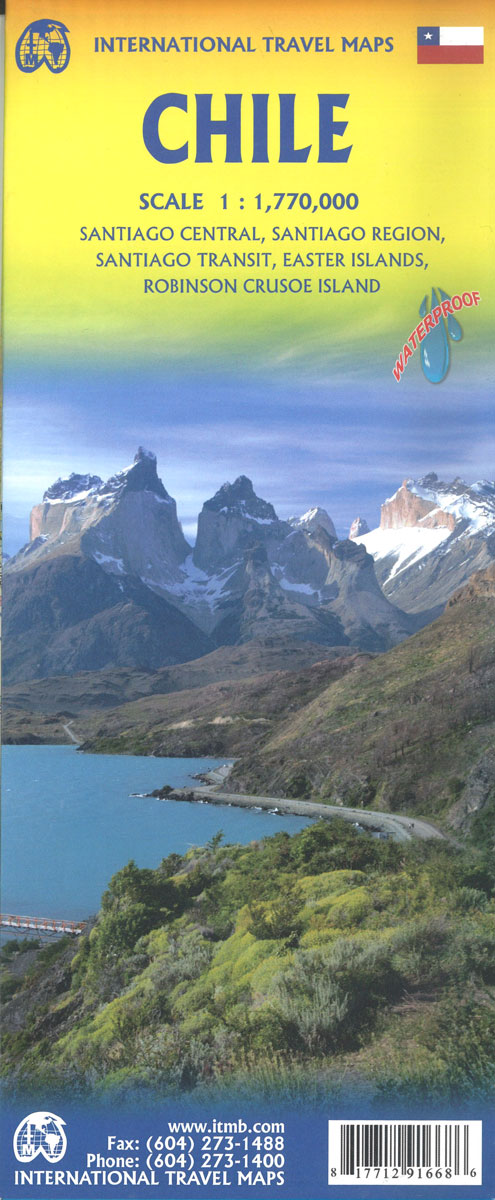
Chile at 1:1,750,000 on a double-sided indexed map from ITMB printed on light, waterproof and tear-resistant plastic paper, with a large clear plan of central Santiago and an enlargement for its environs, a plan of Ushuaia, etc. The map divides the country into four overlapping and separately indexed panels. On one side are the two
Cambodia & Mekong Delta ITMB
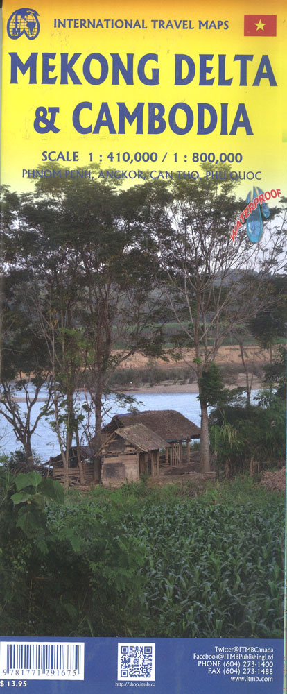
– Double sided map- Topography shown by colors- Road network with distances- Railways and airports- Tourist information- National parks- Administrative divisions- IndexInset maps of Phnom Penh (1:20,000), Angkor (1:50,000), Can Tho City (1:19,500), Phu Quoc (1:232,000)