Category Archives: Maps
Indonesia ITMB
Indonesia at 1:2,400,000 on a double-sided indexed map from ITMB and cartography designed to show the country’s topography through bright altitude colouring and spot heights (elevation shown in feet). The map divides Indonesia west/east, with Sumatra, Borneo, Java, Bali, Lombok and Sumbawa on one side, and Sulawesi with the remaining islands and West Papua on
USA Southwest ITMB
South-western USA on a waterproof and tear-resistant map at 1:1,000,000 from ITMB with highlighting for Route 66.Coverage, spread over the two sides of the map, extends east into western Colorado and New Mexico and in the north well beyond San Francisco and Reno in California and Nevada, and about half of Utah.Topography of this mountainous
Italy ITMB Railway & Road Map

A road map of Italy including the entire rail network at 1:850,000, ideal for the traveler who searches in a map for the essential tool for their travels in the Italian peninsula.
Grand Canyon & Arizona ITMB
Arizona and New Mexico at 1:900,000 on an indexed, double-side map from ITMB with topography shown by altitude colouring, plus enlargements showing in greater detail Flagstaff and Albuquerque and their environs. Coverage includes las Vegas and the whole of Lake Mead. Topography is indicated by altitude colouring with bands and spot heights in feet. Road
Guadeloupe & Dominica ITMB
The country of Guadeloupe (1:110,000) actually consists of six islands, with the main island being divided by a narrow peninsula into Basse-Terre and Grand-Terre. It is a French possession, so uses the Euro as its currency. The other touristic island is Marie-Galante, which one reaches by ferry from the capital city of Pointe-a-Pitre. There is
Hawaii & Honolulu ITMB
Hawaiian Islands on a double-sided map from ITMB, printed on light, waterproof and tear-resistant plastic paper. Altitude colouring shows the terrain and several street plans are included. The map presents the islands on separate panels and at scales appropriate to their size. On one side are the Big Island (1:300,000) plus Oahu (1:120,000) with a
Hong Kong & Region ITMB
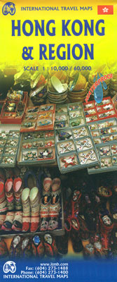
Hong Kong on a waterproof and tear-resistant, double-sided map from ITMB presenting on one side a street plan of Hong Kong with Kowloon at 1:10,000 and on the reverse a road map of the HK Special Administrative Region at 1:60,000, plus a diagram of the transport network.The street plan show Hong Kong and Kowloon at
Haida Gwaii / Queen Charlotte Islands – British Columbia Coast ITMB
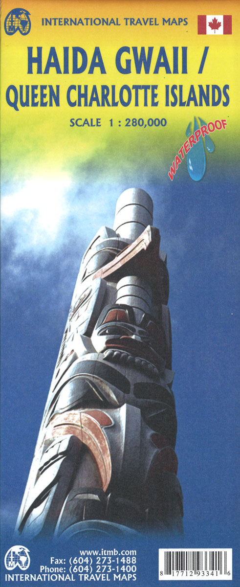
Queen Charlotte Islands / Haida Gwaii on a detailed map at 1:150,000 from the Vancouver-based ITMB, with contours at 150m intervals and spot heights. Protected areas and Indian Reserves are marked. The map shows local roads and tracks, indicating 4WD dry weather only routes and ferry connections. Symbols highlight camping and RV sites, picnic areas,
Hanoi – Vietnam North ITMB
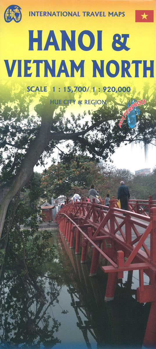
Double-sided map from ITMB combining a street plan of Hanoi at 1:14,000 with a road map of the northern part of Vietnam, plus a street plan of Hue and enlargements of the environs of both cities. On one side is an indexed street plan of Hanoi, prepared by ITMB’s Vietnamese cartographers and highlighting a wide
Ho Chi Minh City / Saigon & Vietnam South ITMB
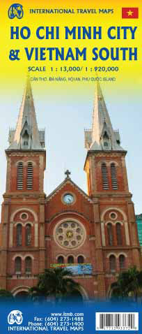
Double-sided map, combining a map of Vietnam South with a street plan of Ho Chi Minh City. The map of the region at 1:920,000 shows the road and rail networks, indicating local airports and airfields, national parks and scenic areas, places of interest and beaches. Topography is shown by altitude colouring with spot heights. The
France South Rail & Bike ITMB
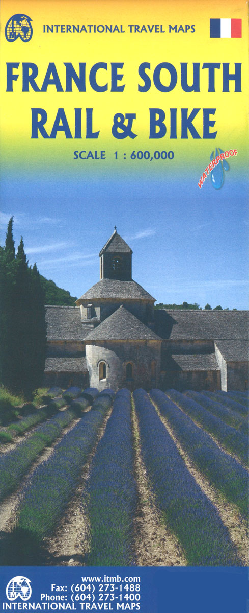
This is a brand new title for ITMB and an attempt to portray a changing travel landscape in a mapping format. Eco-tourism is a rapidly growing activity, with enormous potential. At the same time, governments are seeking to reduce carbon pollution by encouraging train travel, so ITMB is climbing aboard the movement by publishing a
Florida Keys ITMB
Florida Keys at 1:120,000 on a double-sided, indexed map from ITMB with several insets showing most visited resorts, islands and/or nature reserves in greater detail. Numerous small islands are named.On one side are the Upper Keys, from the mainland to the Seven Mile Bridge, accompanied by insets showing at 1:35,000 plans of Key Largo, the
Easter Island & Santiago ITMB
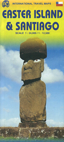
Double-sided map from ITMB combining coverage of the Easter Island at 1:24,000 highlighting locations of its famous statues and selected hotels with, on the reverse, a large, clear, indexed street plan of Santiago with a diagram of the city’s metro network.On one side is a map of the Easter Island, showing its landscape by altitude
England South & Wales ITMB

Southern England with Wales on an indexed road map at 1:400,000 from the Vancouver-based ITMB. The map is double-sided, with an overlap between the sides, and extends on its eastern side to York, and west of Birmingham to Liverpool and Manchester. Topography is indicated by altitude colouring. Road network gives the numbering of M and
Ghana ITMB
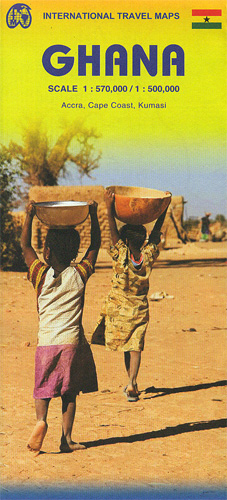
Ghana on a double-sided indexed road map from ITMB presenting the southern part of the country at 1:500,000 and the north at 1:570,000, with street plans of Accra, Cape Coast and Kumasi, plus brief notes on the country’s various places of interest. The country is divided north/south, with a small overlap between the sides. Topography
Galapagos Islands – Quito & Guayaquil ITMB
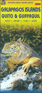
A map from ITMB conveniently combining coverage of the Galapagos Islands with street plans of Quito and Guayaquil plus road maps of the environs of both cities for those who wish to explore them on their way to or from the archipelago.On one side is a map at 1:380,000 of the Galapagos Islands with bold
Western Europe Railroad & Road ITMB
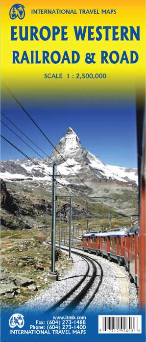
Europe’s railway and road networks on a double-sided map from ITMB at 1:3,350,000, with coverage extending east beyond Moscow to Kazan’ and Volgograd, plus coverage of most of Turkey. Northern Scandinavia, including most of Finland, is shown as an inset at 1:8,000,000.Although the map aims to show the railways distinguishing between high speed lines and