Category Archives: Maps
Nigeria & Niger ITMB
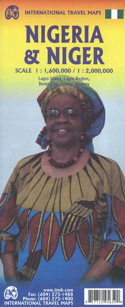
Double-side map from ITMB presenting on side Nigeria at 1:1,600,000 with on the reverse Cameroon at 1:1,500,000. Both countries have an index and are accompanied by street plans: Abuja, Lagos and Benin City, plus Douala and Yaoundรฉ. Topography of both countries is shown by altitude colouring (bands and spot heights are in feet), with graphics
New Zealand ITMB
New Zealand at 1:950,000 waterproof, double-sided, indexed road map from ITMB rich in tourist information including plans of central Auckland and Wellington and insets of the surrounding little islands.The map displays the North Island on one side and the South Island and on the other, each accompanied by a separate index. Road networks include motorways,
Nova Scotia & Prince Edward Island ITMB
Double-sided, indexed map showing Nova Scotia with Price Edward Island at 1:380,000, plus street plans of central Halifax and Sydney. The map is part of a series from the Vancouver-based ITMB, covering Canadian provinces with topography presented by altitude colouring rather than by relief shading (colour bands and spot heights are in feet).The map divides
Morocco ITMB
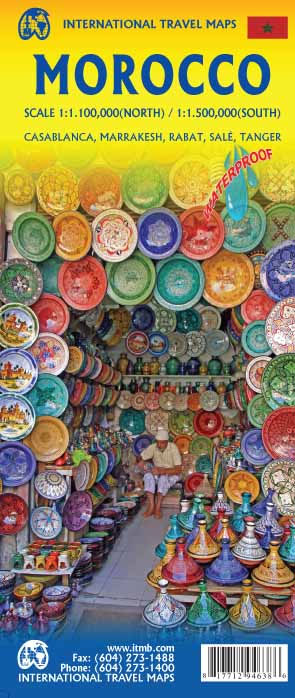
Morocco at 1:1,200,000 on a waterproof and tear-resistant map from ITMB, with large, clear street plans of central Tangier, Rabat ‘“ Salรฉ, Marrakesh and Casablanca. The map is double-sided and presents the whole of Morocco itself on one side, with the Western Sahara on the reverse at the same scale.Topography is shown by altitude colouring
Mexico Central & Mexico City ITMB
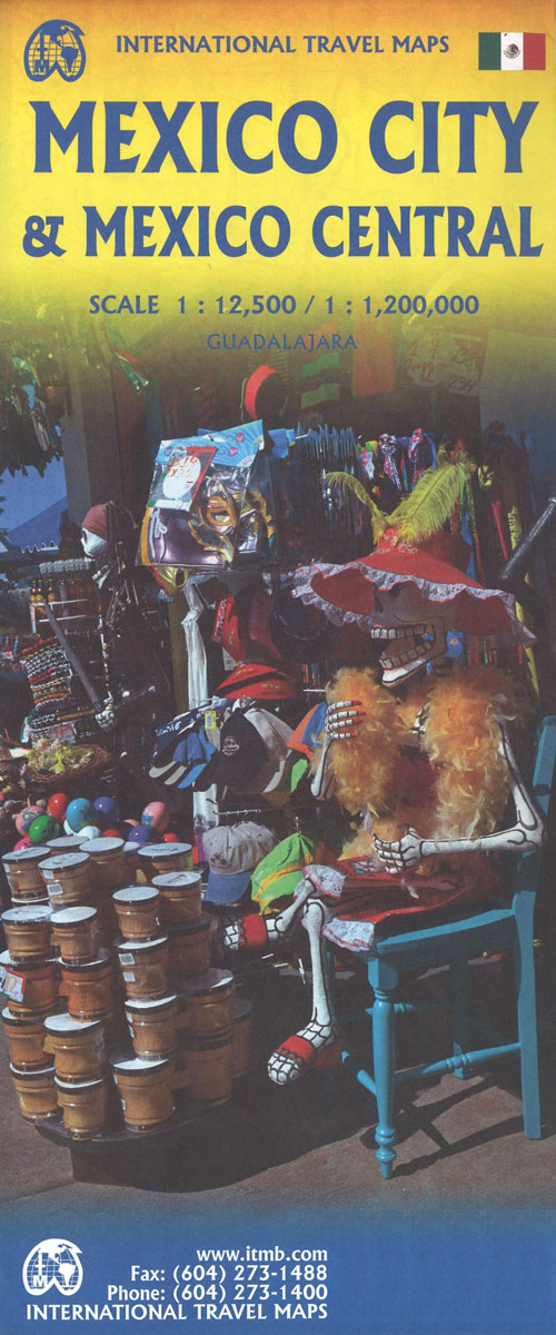
Indexed road map covering central Mexico, with a large plan of central Mexico City on the reverse. The main map extends from Veracruz in the east to Leon in the west, and from Acapulco in the south to Ciudad Victoria in the north. Altitude tinting represents the general relief with spot heights for major peaks.
Manhattan & New York State ITMB
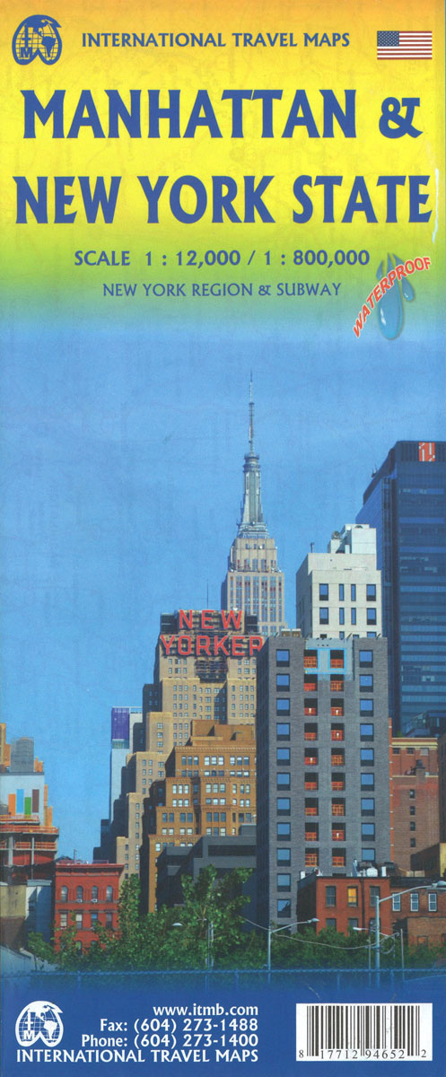
Manhattan at 1:12,500 on a light, waterproof and tear-resistant street plan with a large diagram of NYC’s subway/rail network and a map of the city environs: plus on the reverse an indexed road map of the Northeastern Corridor between Washington DC and Boston extending west to the Niagara Falls and a street plan of central
Montreal & Southern Quebec ITMB
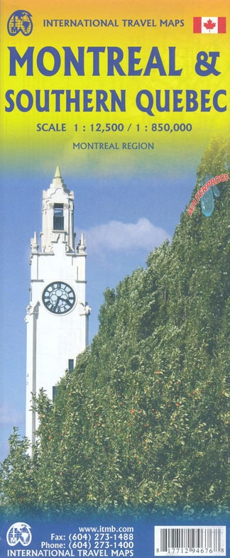
Double-sided, waterproof and tear-resistant map from the Vancouver-based ITMB with on one side a very clear and well presented, indexed street plan of Montreal at 1:12,500, accompanied by a map of its environs and a diagram of the transit network, plus on the reverse an indexed road map at 1:850,000 of Southern Quebec.On one side
Oslo / Bergen & South of Norway ITMB
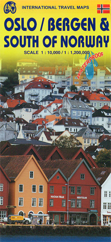
Sturdy, waterproof and tear-resistant map from ITMB combining indexed street plans of Oslo and Bergen at 1:10,000 with, on the reverse, a road map of southern Norway, plus diagrams of the capital’s metro lines and of the rail link from Oslo to Bergen and the Sognefjord.On one side are the two street plans with their
Kyoto & Japan West ITMB
Kyoto on a detailed street plan at 1:12,500 from ITMB, with a road map of the Kyoto – Osaka – Nara area, plus a street plan of central Nara and, on the reverse, an indexed road map of western Japan at 1:670,000 and a street plan of central Osaka.On one side is a street plan
Kuala Lumpur & Malay Peninsula ITMB
Street map of Kuala Lumpur at 1:10,000 covering the city from the Sentul Terminal and the Setapak Park in the north to the Chinese Cemetery in the south, and from the Parliament House (Bangunan Paliament) in the west to the Royal Selangor Golf Club in the east.Two insets show the Kuala Lumpur surroundings at 1:437,000
Korea South & North ITMB
Indexed road map with Pyongyang street plan, personally researched by the president of ITMB, and complemented by a selection of his holiday photos! On the general map road detail shows highways, national roads and provincial roads. Main railways, sea ferry links, ports, international and domestic airports are also indicated. Further detail includes provincial boundaries and
Kyrgyzstan & Tajikistan ITMB
This is a new title for ITMB. The two Central Asian countries of Kyrgyzstan and Tajikistan are rapidly developing a touristic market and we feel that the world needs a good map to reflect their growing importance. The two ‘stans were part of the Soviet empire that fell apart in 1990, creating a dozen new
Kamchatka & Eastern Siberia ITMB
Kamchatka Peninsula at 1:1,700,000 on an indexed map at 1:1,700,000 from ITMB with an enlargement showing in greater detail the Valley of the Geysers, plus a street plan of Petropavlovsk-Kamchatsky. On the reverse is an indexed map showing a section of eastern Siberia at 1:3,600,000. All place names are in the Latin alphabet.On one side
Los Angeles & Southern California ITMB
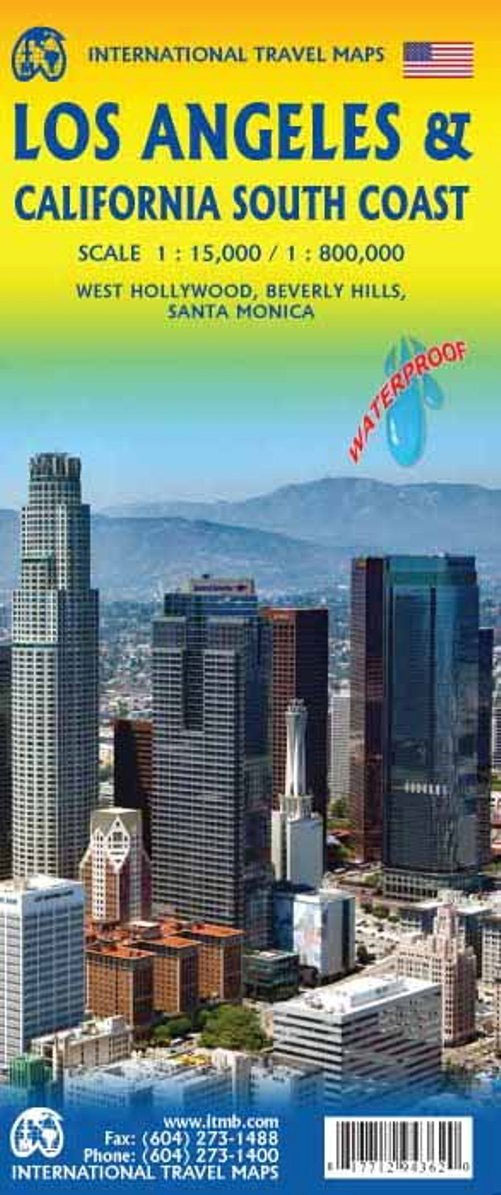
Los Angeles on a very clear, well presented street plan from ITMB, including coverage of West Hollywood, Beverly Hills and Santa Monica, with on the reverse a road map of southern California, printed on light, waterproof and tear-resistant synthetic paper.On one side is a street plan of Los Angeles, extending from the Golden State Freeway
Lebanon & Beirut ITMB
Lebanon on an indexed road map at 1:190,000 from ITMB, plus on the reverse an indexed street plan of Beirut at 1: 8,300; also included are historical notes on the country’s civil war from 1975 to 1991. All place names on the road map and the plan are in Latin alphabet only.The map shows Lebanon’s