Category Archives: Maps
Patagonia & Tierra del Fuego ITMB

Patagonia and Tierra del Fuego on a double-sided map from ITMB showing the mainland on both sides of the Chile ‘“ Argentina border at 1:2,200,000 with Tierra del Fuego and the islands around the Magellan Straights in greater detail at 1:750,000. Both sides show the topography by altitude colouring with plenty of names of mountain
Polynesian Islands ITMB Travel Atlas

Polynesian Islands Travel Atlas from ITMB combining into an A5 paperback atlas the publishers’ mapping also available as separate folded maps. For many countries or dependencies the atlas also includes street plans of main towns. Symbols indicate various places of interest, including on street plans also selected hotels and other tourist facilities.Topography is presented by
Poland ITMB
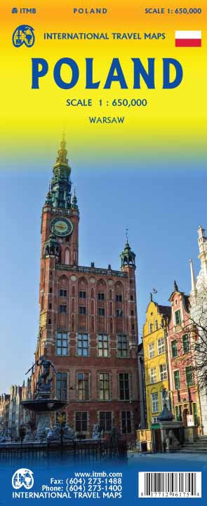
Large, indexed road map of Poland with street plans of central Warsaw, Krakรณw, Poznan and Wroclaw. The map shows the country’s road and rail networks, indicating scenic routes, roads with restricted access or closed to caravans, steep gradients, winter closures, etc. Towns or villages and other places of special interest are highlighted and graded. National
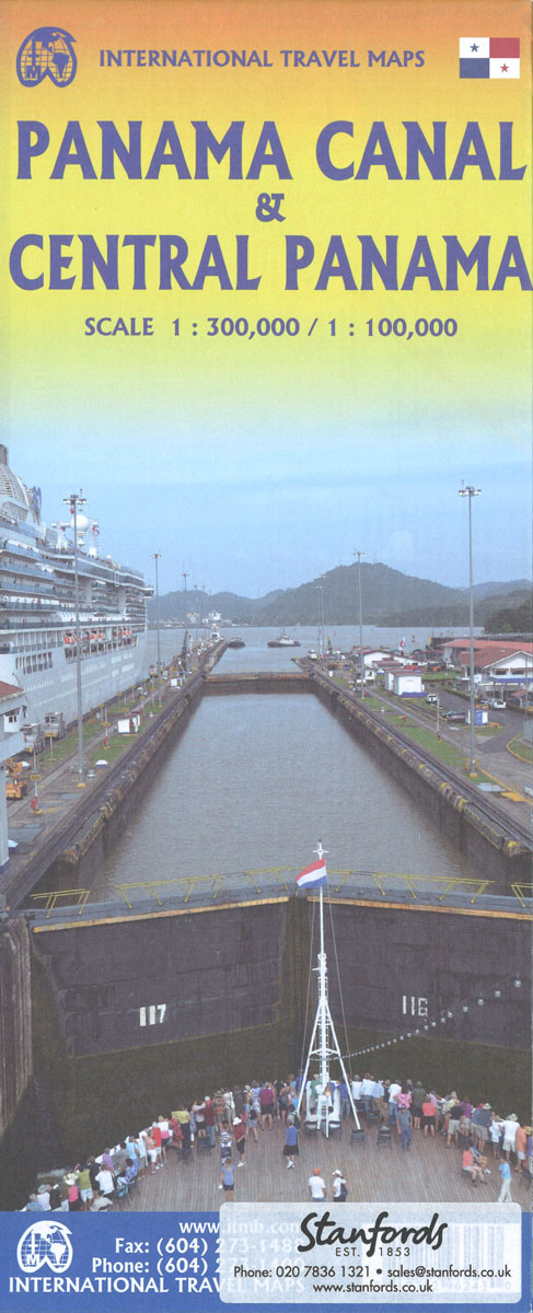
Panama ITMB
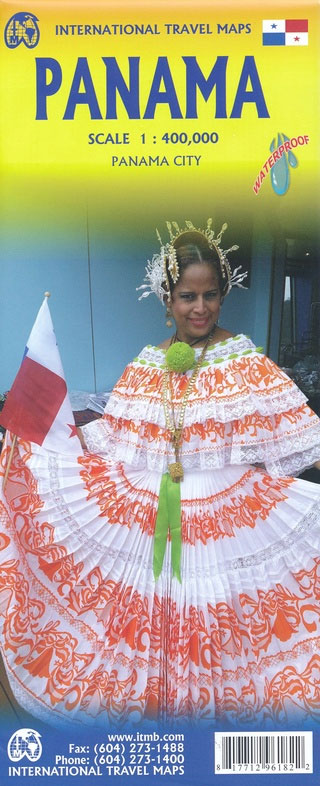
Panama at 1:300,000 on an indexed, double-sided map from ITMB, printed on waterproof and tear-resistant plastic paper, with large, clear street plan of central Panama City highlighting various places of interest and tourist facilities.The map divides the country east/west, with some overlap between the two sides. Topography is shown by altitude colouring with spot heights
Philippines ITMB
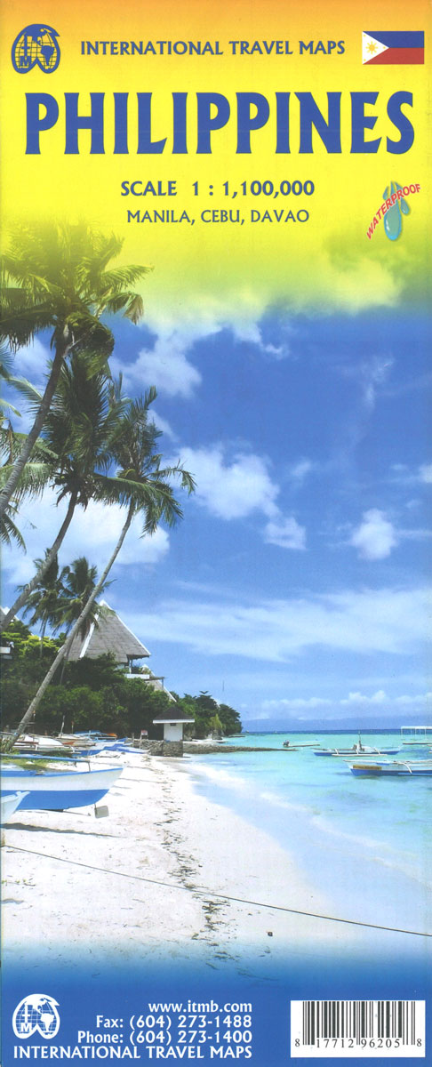
Philippines at 1: 1,100,000 from ITMB on a double-sided, indexed road map including street plans of central Davao city and Cebu city and Manila city centre.Road networks include motorways, secondary and minor roads and tracks, with intermediate distances in kilometres. Symbols clearly indicate international and domestic airports, railways and ferry routes. Topography is represented by
Paraguay – Bolivia South ITMB
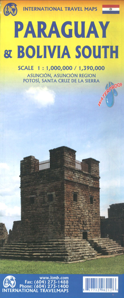
Paraguay on an indexed double-side map 1:800,000 from ITMB with an enlargement for the environs of Asuncion plus a street plan of the capital’s city centre highlighting numerous hotels and various places of interest.The map divides the country east/west with a good overlap between the sides. Altitude colouring shows the topography, with swamps and marshes
Palestine & Jerusalem ITMB
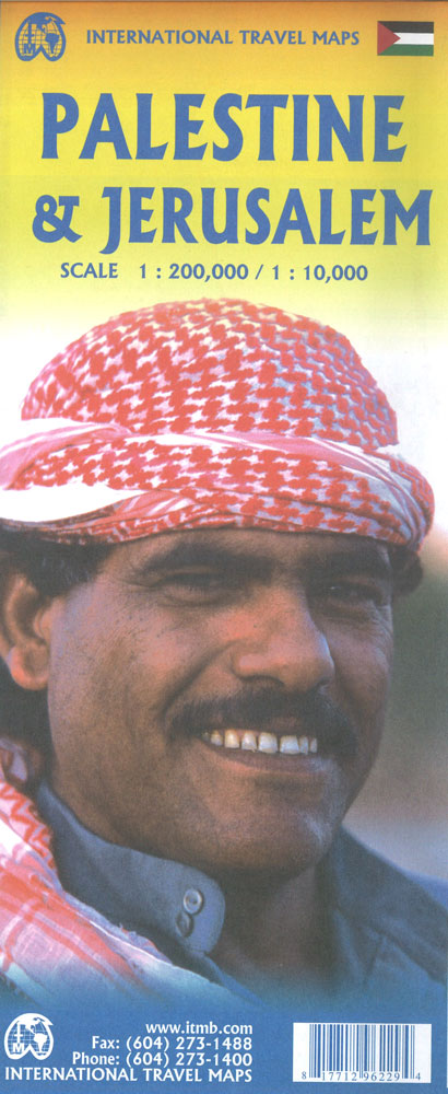
This is a new title for ITMB and the first time a separate map for that portion of the area known as Palestine and controlled by Palestinians has been published. This is essentially an attempt to show a political reality that exists, in that no one denies that both the West Bank and the Gaza
Quebec & Ontario ITMB Travel Atlas
ITMB’s mapping of Ontario and Quebec provinces presented in a handy-size A5 paperback atlas with additional street plans and transit network diagrams of Toronto and Montreal. The whole of each province is covered, with the northern regions shown at less detailed scales than the more densely populated south.Southern Ontario is shown at 1:550,000, with the
Mali & Mauritania ITMB
Indexed map of the country with a plan of Nouakchott and coverage of the whole of Western Sahara. Altitude colouring (in feet) with occasional spot heights is complemented by names of main hill ranges, plus cliffs or scarps within the Saharan region. Both permanent and intermittent streams and creeks are marked, as wells as dry
Mumbai / Bombay – India West Coast ITMB
Central Bombay on a clear, well presented, indexed street plan from ITMB, with its index listing 120 old colonial street names, many of them also shown on the map itself next to the currently used names. A more general, small enlargement covers a wider area showing access to the city’s international airport.The plan extends from
Sonora & Sinaloa ITMB
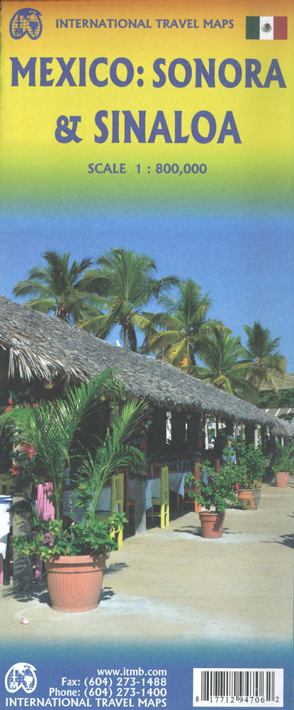
Indexed, double-sided road map covering these provinces in north-western Mexico, with basic plans of central Hermosillo and Chihuahua included. Altitude tinting represents the general relief, with spot heights for major peaks, swamp areas, desert regions and national parks marked. Road detail includes some minor roads and tracks, and shows intermediate distances on major routes. Main
Madagascar ITMB
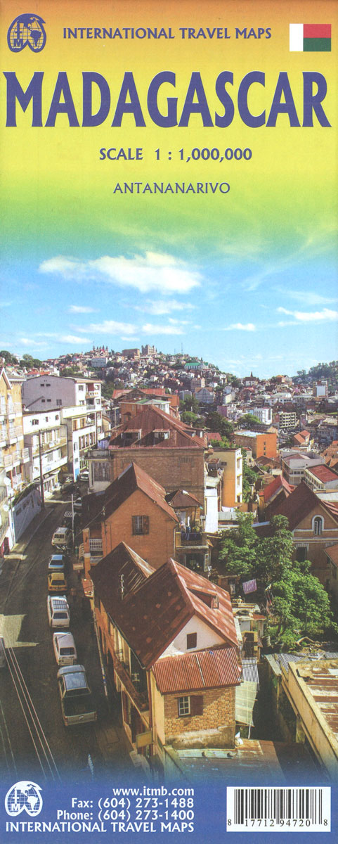
Madagascar at 1: 1,000,000 on an indexed, double-sided map from ITMB with a large, clear street plan of central Antananarivo. The maps divides the island north/south with a small overlap between the sides. Topography is presented by bold altitude colouring and spot heights, both in feet. Graphic indicate swamp, wetland and mangrove areas and salt
Malta & Gozo ITMB
Malta at 1:28,500 on an indexed map from ITMB with large, clear street plans of central Valetta, Bugibba/Qawra, Marsaskala, Mdina and Victoria. On one side is Malta itself. Altitude colouring and spot heights show the island’s topography. Road network includes selected local tracks, gives distances on main routes and indicates locations of petrol stations. Symbols
Namibia ITMB
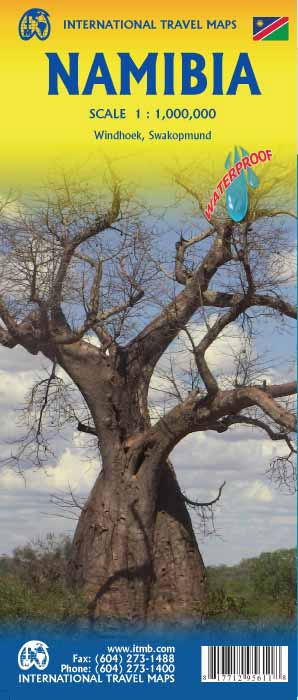
Indexed map of Namibia with a plan of central Windhoek. Altitude colouring shows the country’s topography, with spot heights given in feet. Swamps, salt pans and desert areas are marked, as well as locations of numerous wells.The map shows the country’s road and rail networks, including selected local and seasonal tracks. Intermediate distances are marked
Newfoundland & Labrador ITMB
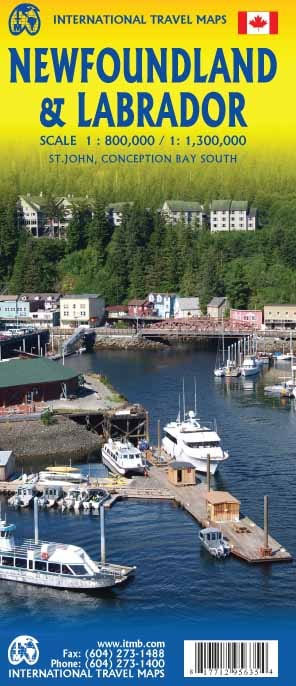
Double-sided map of Newfoundland and Labrador Provinces at 1:800,000 and 1:1,385,000 respectively and with street plans of St. John’s and Conception Bay South, published as part of a series of maps of Canadian provinces from the Vancouver-based ITMB.Topography is presented by altitude colouring, with colour bands and spot heights given in feet. Road and rail
New York State & New England Recreation Map ITMB
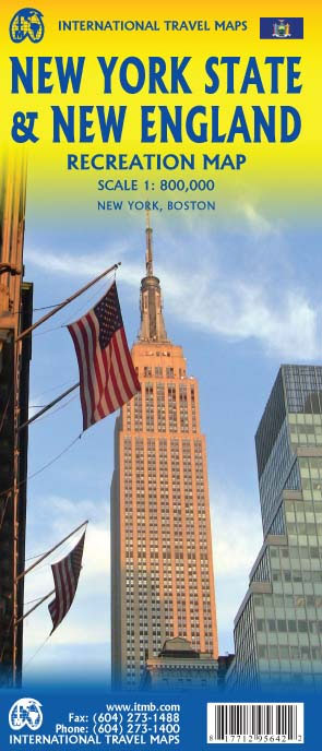
ITMB expands its coverage of the USA with a detailed map of New York State and New England on a double-sided map at a very detailed scale. The one side covers most of the state and the southern portion of the New England states, along with an inset map of the greater NYC area, the