Category Archives: Maps
Santiago & Chile North ITMB
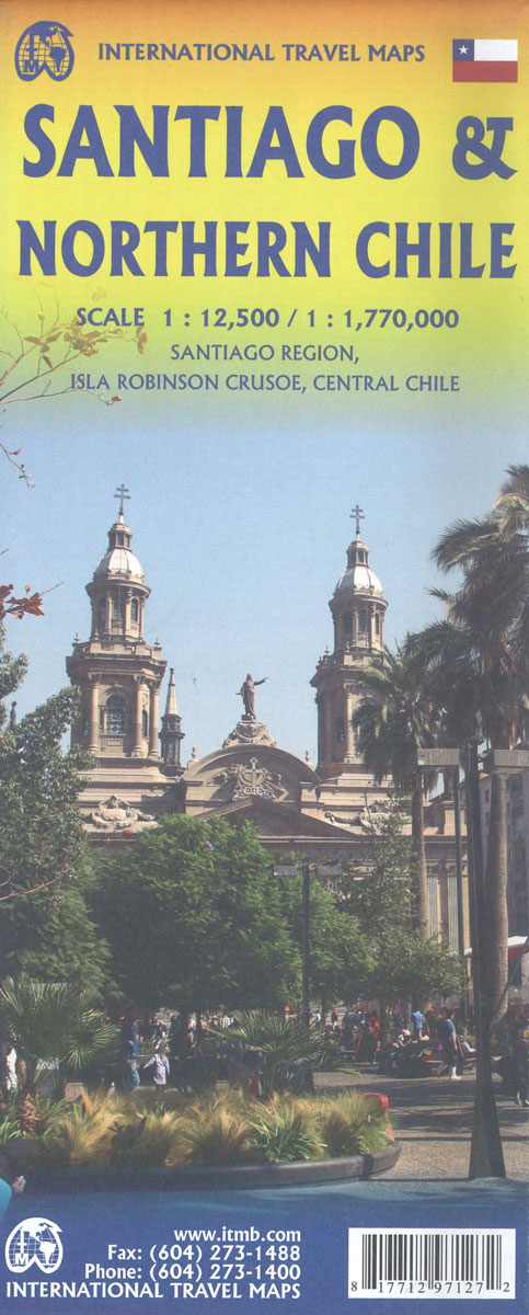
Double-sided map from ITMB conveniently combining on one side a clear, indexed street plan of Santiago at 1:12,500 with on the reverse a road map of central Chile at 1:720,000, centred on Santiago and showing the region’s topography by altitude colouring.On one side the central districts of Santiago are presented at 1:12,500 on an indexed,
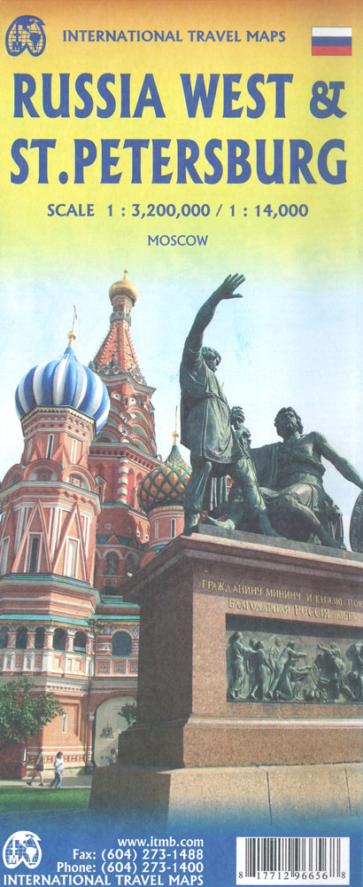
Russia ITMB
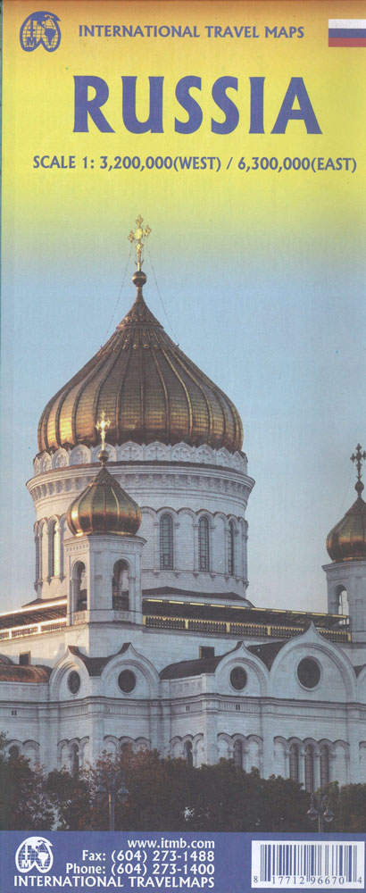
Russia at 1:6,000,000 on a double-sided, indexed map from ITMB, with street plans of central Moscow and St. Petersburg. The map divides the country east – west, with the European side extending well beyond the Urals to Krasnoyarsk and the Yenisei. Names of numerous mountain ranges are given and altitude colouring provides some indication of
Sri Lanka & India South ITMB
Sri Lanka at 1:450,000 on an indexed road map from ITMB, with a street plan of central Colombo at 1:13,000 plus, on the reverse a map road of most of India with large street plans of Mumbai and Kolkata.On one side is an indexed road map of Sri Lanka at 1:450,000 with topography shown by
Rocky Mountains Canada and US ITMB
Canadian Rocky Mountains on a double-sided, waterproof and tear-resistant map at 1:900,000 from the Vancouver-based ITMB, with altitude colouring to show the topography and marking for numerous places of interest, plus a street plan of central Calgary.The map is orientated with the north-west at the top and shows on one side the most visited part
Scandinavia ITMB
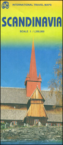
Scandinavia at 1:1,350,000 on an indexed map from ITMB, presenting on one side Denmark with southern Norway and Sweden, and on the reverse, with an overlap between the sides, northern Norway and Sweden with Finland. Road and rail networks are shown on a single-colour green background, with topography indicated only by spot heights. Also marked
San Francisco & Northern California ITMB
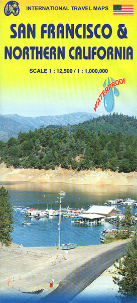
San Francisco on a waterproof and tear-resistant, very clear and well presented street plan, extending further south than most tourist maps of the city, with on the reverse a road map of northern California with altitude colouring emphasizing its topography.On one side is a street plan of San Francisco at 1: 12,500, extending from the
Sahara ITMB

The Sahara Desert at 1:3,400,000 on an indexed, double-sided map from ITMB. Coverage extends southwards from approx. 30ยบN within Morocco (Agadir) and 33ยบN elsewhere (Ourgla in Algeria, Tripoli in Libya and Alexandria in Egypt) to approx. 16ยบN (Timbuktu in Mali and Agadez in Niger). West / east the map covers the region from the coastline
Siberia ITMB
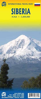
Siberia on a double-sided, indexed map at 1:3,600,000 from ITMB with coverage extending from Omsk, Nefteyugansk and Vorkuta in the west to the Sakhalin Island. All place names are in the Latin alphabet. Topography is presented by altitude colouring with bands in feet. The map shows the region’s road and rail networks, also indicating locations
Palestine & Jerusalem ITMB
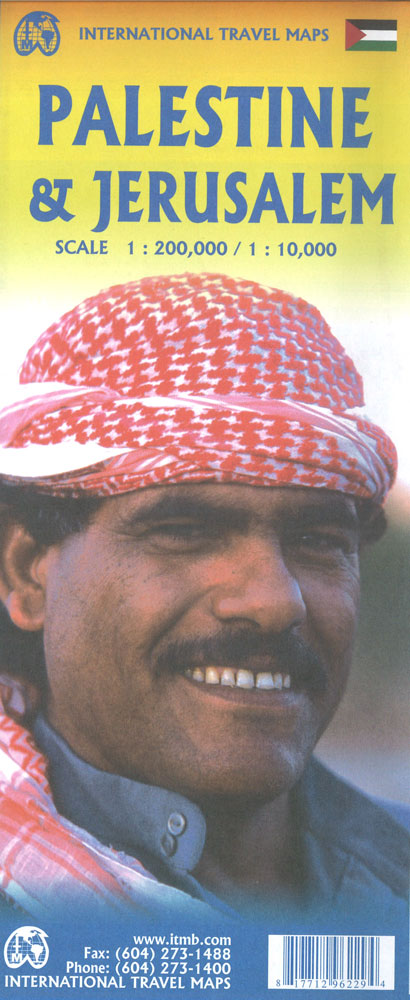
This is a new title for ITMB and the first time a separate map for that portion of the area known as Palestine and controlled by Palestinians has been published. This is essentially an attempt to show a political reality that exists, in that no one denies that both the West Bank and the Gaza
Quebec & Ontario ITMB Travel Atlas
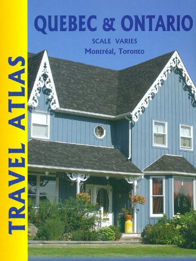
ITMB’s mapping of Ontario and Quebec provinces presented in a handy-size A5 paperback atlas with additional street plans and transit network diagrams of Toronto and Montreal. The whole of each province is covered, with the northern regions shown at less detailed scales than the more densely populated south.Southern Ontario is shown at 1:550,000, with the
Oahu, Honolulu & Big Island ITMB
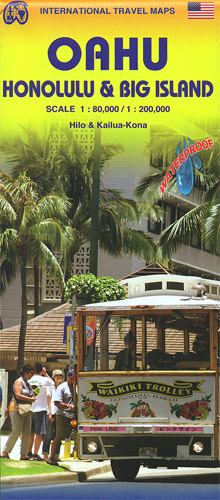
Oahu at 1:80,000 with a street plan of Honolulu from the Pearl Harbour to the Waikiki Beach and the Diamond Head Crater, plus the Big island at 1:200,00 with plans of Hilo and Kailua-Kona on a waterproof and tear-resistant, double-side map from ITMB. Topography of the two islands is vividly presented by altitude colouring with
Quebec Province ITMB
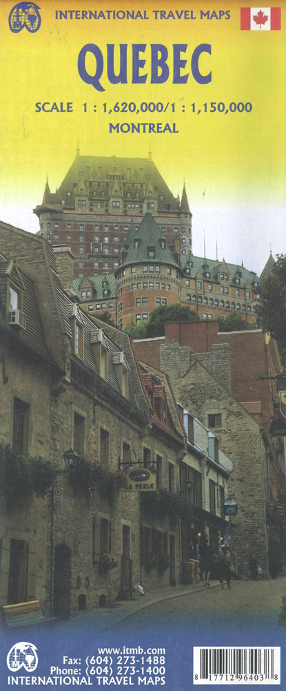
The map is double-sided with the southern part of Quebec on one side (1:1,150,000) and the northern part on the other (1:1,620,000). With an index and inset city map of Montreal (1:205,000).
Southern Ontario ITMB
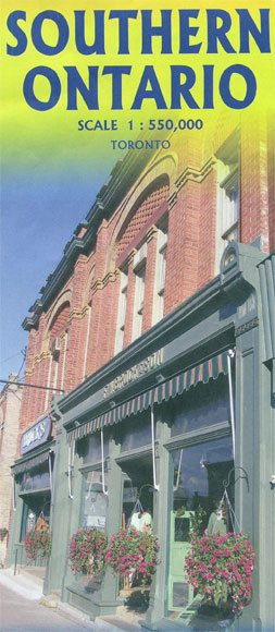
Southern part of Ontario, between Ottawa, Toronto and Detroit, on a double-sided, indexed map at 1:550,000 from ITMB, with a road map of Toronto plus a street plan of the city’s downtown districts. Coverage on the eastern side extends north to Brent in the Algonquin Provincial Park; on the reverse, with a good overlap to
Quito & Central Ecuador ITMB

Quito on an indexed street plan at 1:12,500 from ITMB, with a map of its environs and diagram of the transport network, plus on the reverse an indexed road map of most of the country extending south to include Guayaquil.On one side of the map is a clear, well presented indexed street plan of Quito,