Category Archives: Maps
Taiwan & Taipei ITMB

Double-sided map, combining a map of Taiwan with a street plan of Taipei. The map of the island at 1:386,000 shows the road and rail networks, indicating local airports and airfields, national parks and scenic areas, places of interest and beaches. The country’s administrative divisions are marked, with names of the provinces and provincial capitals
South Pacific Cruising & Samoa ITMB
Detailed map of Samoa on the front with an insert of the capital Apia. The back shows the different lines of cruises that crisscross this vast area of ??the South Pacific.
Toronto & Southern Ontario ITMB
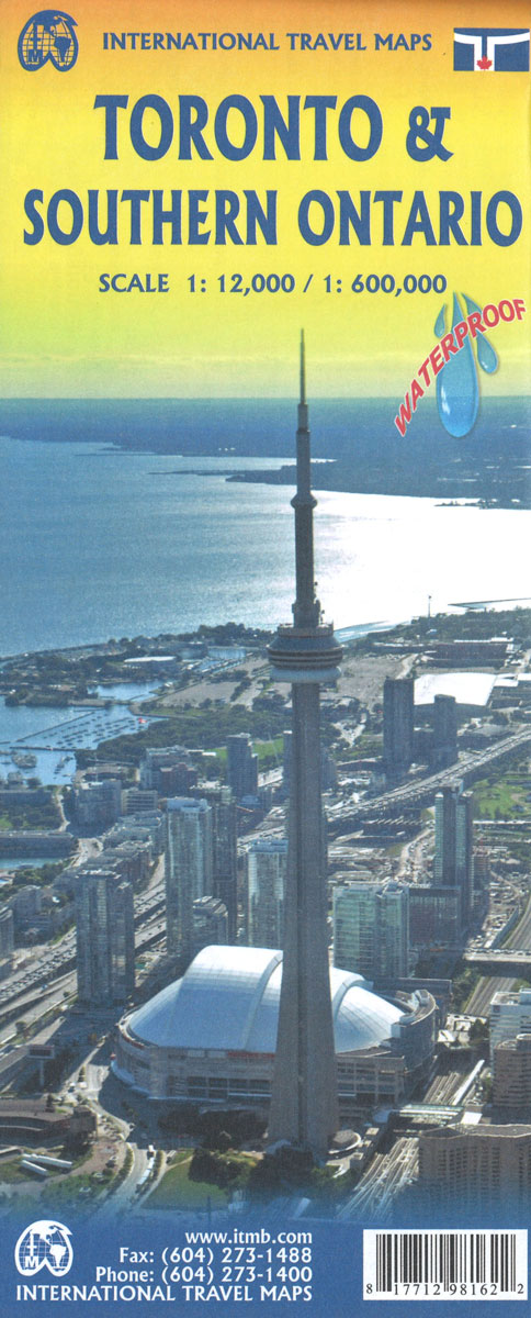
Toronto street plan and a road map of southern Ontario on a double-sided map from ITMB printed on light, waterproof and tear-resistant synthetic paper. On one side is a very clear, indexed street plan of Toronto’s central districts at 1:12,500, providing coverage from the High Park in the west to Riverdale in the east, and
Utah & Colorado ITMB
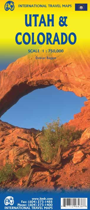
Colorado and Utah at 1:750,000 from ITMB, with each state presented on one side of the map accompanied by an index of locations. Topography of these mountainous states is shows by altitude colouring and spot heights, both in feet. State highways give interchange numbers, locations of petrol stations are marked, and driving distances are shown
Shanghai & China South East ITMB
Shanghai on a clear, well-presented indexed street plan from ITMB, printed on light, waterproof and tear-resistant plastic paper, with on the reverse an indexed road map covering many of China’s most visited cities, including Beijing, Xi’an and Hong Kong.On one side is a street plan of Shanghai’s inner districts, extending from the Zhongshan Inner Evelvated
Solomon Islands & South Pacific Ocean ITMB
Clear reference map of the Solomon Islands with relief portrayed by elevation tinting and insets showing Guadalcanal at 1:500,000 and Honiara city at 1:13,000.Road details include minor roads and tracks. A series of symbols indicates airports, points of interest, accommodation, diving sites, caves, shipwrecks and beaches. Latitude and longitude lines are drawn at 1ยฐ intervals.
Sao Paulo & Brazil South Coast ITMB
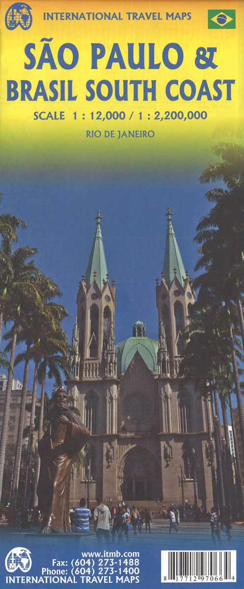
Sรฃo Paulo and the southernmost part of Brazil on a double-side map from ITMB combining a street plan of the city’s central districts at 1:12,500 with a road map at 1:2,200,000, both indexed. A plan of central Rio is also included.On one side is a clear, well presented street plan of Sรฃo Paulo’s central districts.
Singapore & Malay Peninsula ITMB

Singapore City on a clear, indexed street plan at 1:10,000 with from ITMB, highlighting numerous places of interest and tourist facilities, plus the Singapore Island shown at 1:100,000 with its road and rail networks.The street plan covers the city’s central districts as indicated in our area coverage image, including the Financial District, Chinatown, Little India,
St. Martin & Anguilla ITMB
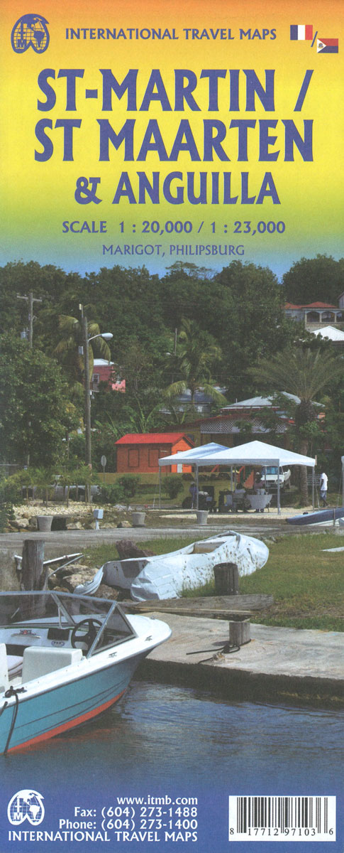
Saint-Martin/Sint Maarten at 1:15,000 on an indexed map from the Caribbean-based cartographer Michal Kasprowski highlighting beaches and water sports sites, with street plans of Marigot and Philipsburg. Main roads are highlighted and named and the map also shows names of many smaller local roads and streets in build-up areas. Also marked are cart tracks and
South America ITMB
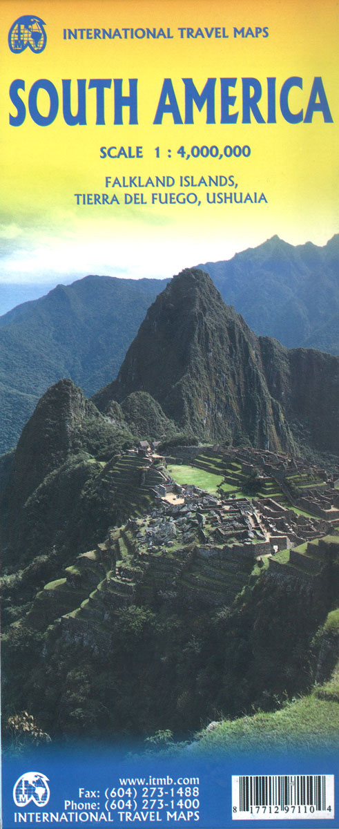
Large, double-sided, indexed reference map of the South America at 1:4,000,000 showing the continent’s road and rail networks on a base with altitude colouring, plus a more detailed enlargement covering most of the Tierra del Fuego, a street plan of Ushuaia, a political map of the continent, etc.The map is double-sided, extending on one side
Santiago & Chile North ITMB
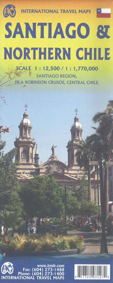
Double-sided map from ITMB conveniently combining on one side a clear, indexed street plan of Santiago at 1:12,500 with on the reverse a road map of central Chile at 1:720,000, centred on Santiago and showing the region’s topography by altitude colouring.On one side the central districts of Santiago are presented at 1:12,500 on an indexed,
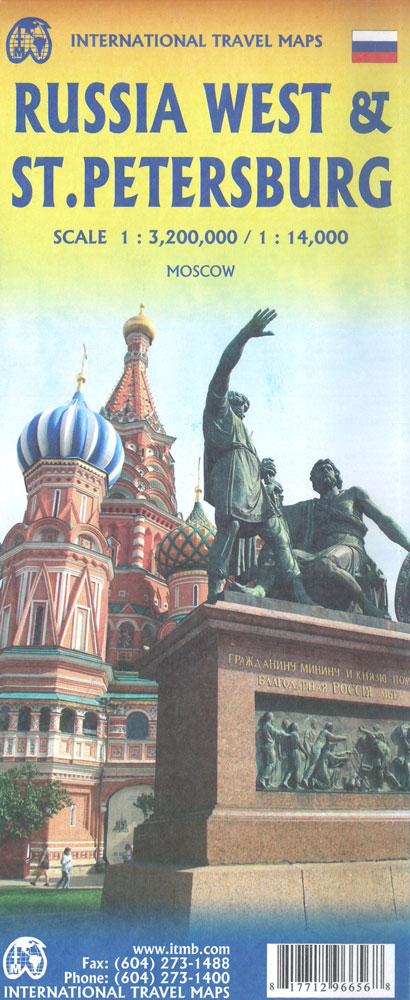
Russia ITMB
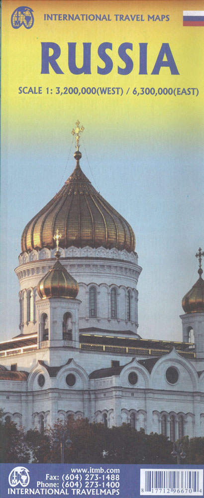
Russia at 1:6,000,000 on a double-sided, indexed map from ITMB, with street plans of central Moscow and St. Petersburg. The map divides the country east – west, with the European side extending well beyond the Urals to Krasnoyarsk and the Yenisei. Names of numerous mountain ranges are given and altitude colouring provides some indication of
Sri Lanka & India South ITMB
Sri Lanka at 1:450,000 on an indexed road map from ITMB, with a street plan of central Colombo at 1:13,000 plus, on the reverse a map road of most of India with large street plans of Mumbai and Kolkata.On one side is an indexed road map of Sri Lanka at 1:450,000 with topography shown by
Rocky Mountains Canada and US ITMB
Canadian Rocky Mountains on a double-sided, waterproof and tear-resistant map at 1:900,000 from the Vancouver-based ITMB, with altitude colouring to show the topography and marking for numerous places of interest, plus a street plan of central Calgary.The map is orientated with the north-west at the top and shows on one side the most visited part