Category Archives: Maps
Adana Main Roads Map
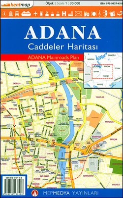
Street plan of Adana from the Turkish publishers Mepmedya Yayinlari. The plan is double-sided, with a small overlap between the sides, and covers Adana with its outer districts at 1:30,000. Only larger streets plus the districts are named. The plan indicates various facilities and places of interest, including shopping centres, educational establishments, places of worship,
Gaziantep Main Roads Plan
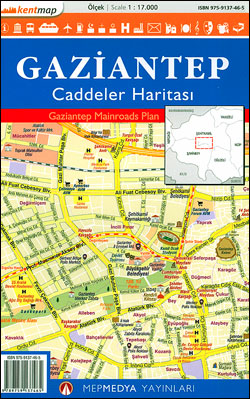
Gaziantep – a town close to the Syrian border, previously and still informally called Antep – on a double-sided street plan at 1:17,000 from the Turkish publishers Mepmedya Yayinlari. The plan covers the town, one of the oldest continually inhabited cities in the world, with its outer disstricts and shows names of larger streets and
Abuja
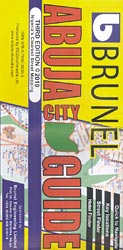
Abuja at 1:20,000 on a clear, well presented, indexed street plan from MDZ Multimedia, with on the reverse a street plan of Kubwa and a road map of Nigeria’s Federal Capital Territory (FCT). On one side is the street plan of the capital. Within the city centre and is most other districts not only the
India: Living in an Ornate World
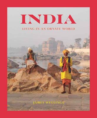
India, Living in an Ornate World explores as to why India is so rich in colour and ornamentation and why it has such a diversity of culture and architecture. There is still a large part of the population who prefer to continue living their traditional life in old-world settings. Their buildings reflect their long artistic
The Ultimate Bali Travel Guide: Bali & Nusa Lembongan, Gili Islands, Lombok
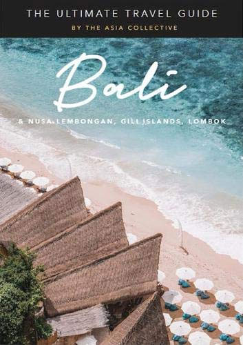
The Ultimate Bali Travel Guide reveals the most exciting hotspots and must-do`s across Bali, Nusa Lembongan, the Gili Islands and Lombok. Discover spectacular hotels and enchanting boutique stays, indulge in extraordinary cuisine at award-winning restaurants and hip cafes, sip cocktails at the dreamiest sunset bars, and recharge at the islands` heavenly spas. Experience more than
Brasov Region Tourist Map
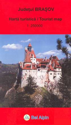
The Bel Alpin tourism map of Brasov county in Romania is a 1:250,000 scale road map of one of Romania’s most popular tourist destinations, including detail of the Poiana Brasov ski region and Brasov old town. It also offers wide-ranging detailed descriptions of the area on the reverse.The map offers easy-to-read road mapping showing major
China: The Middle Kingdom
The awe-inducing natural beauty of China, its majestic landmarks and ancient temples, and the colourful people from a myriad of cultural backgrounds are captured in stunning photographs and evocative prose in this book. An excellent and inspiring introduction to one of the world`s oldest civilisations, the land they call The Middle Kingdom. Divided into chapters
Postavarul and Piatra Mare Mountains
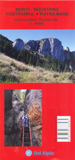
Postavarul and Piatra Mare Mountains at 1:40,000 on a contoured, GPS compatible map with an enlargement of Poiana Brasov and descriptions of 28 hiking trails. The map covers an area from Brasov and Sacele in the north to Predeal in the south.Topography is shown by contours at 20m intervals with additional relief shading and colouring
Arcos de Valdevez
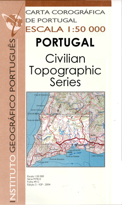
Topographic survey of Portugal at 1:50,000 from the Instituto Geogrรกfico Portuguรชs, the country’s civilian survey organisation. The maps have contours at 25m intervals and in addition to the standard features shown on topographic mapping at this scale also indicate various types of vegetation (vineyards, olive groves, etc). Each sheet covers an area of 32 x
Caminha

Topographic survey of Portugal at 1:50,000 from the Instituto Geogrรกfico Portuguรชs, the country’s civilian survey organisation. The maps have contours at 25m intervals and in addition to the standard features shown on topographic mapping at this scale also indicate various types of vegetation (vineyards, olive groves, etc). Each sheet covers an area of 32 x
Coimbra (Lousa)

Topographic survey of Portugal at 1:50,000 from the Instituto Geogrรกfico Portuguรชs, the country’s civilian survey organisation. The maps have contours at 25m intervals and in addition to the standard features shown on topographic mapping at this scale also indicate various types of vegetation (vineyards, olive groves, etc). Each sheet covers an area of 32 x
Torre de Moncorvo
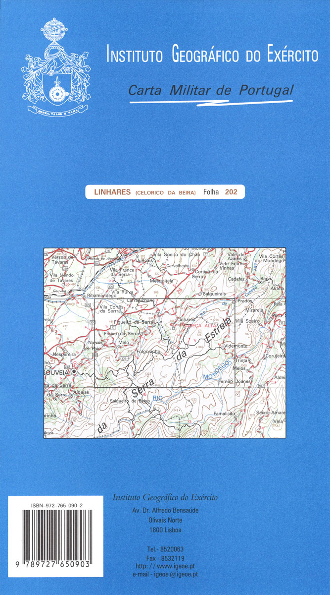
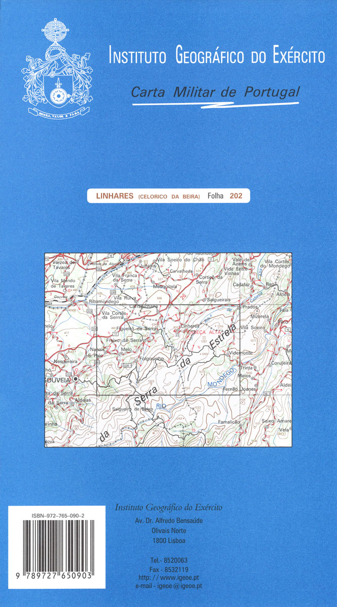
Topographic survey of Portugal at 1:50,000 from the Instituto Geogrรกfico do Exรฉrcito, the country’s military survey organisation. The maps have contours at 20m intervals and in addition to the standard features shown on topographic mapping at this scale also indicate various types of terrain or vegetation (sand, terraces, rocks, woodlands, vineyards, etc). Each sheet covers
Pombal

Topographic survey of Portugal at 1:50,000 from the Instituto Geogrรกfico do Exรฉrcito, the country’s military survey organisation. The maps have contours at 20m intervals and in addition to the standard features shown on topographic mapping at this scale also indicate various types of terrain or vegetation (sand, terraces, rocks, woodlands, vineyards, etc). Each sheet covers


