Category Archives: Maps
Zambia & Eastern Africa ITMB Road Map
Indexed road map of Zambia with street plans of central Lusaka and Livingstone. Altitude colouring with elevation in feet shows the topography, indicating wetlands and swamp areas. The map shows the country’s rail and road networks, with driving distances on main routes and locations of fuel supplies.National parks are prominently marked and symbols highlight locations

Cape Town Map Studio Pocket Map
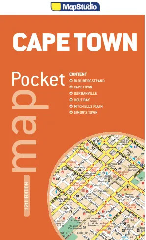
Central Cape Town at 1:10,000 on a handy size pocket street plan from Map Studio highlighting various places of interest, with on the reverse a road map of the Cape Peninsula and the city including access to the international airport.On one side is a detailed street plan of Cape Town’s central districts highlighting main traffic
USA Western Railroads/Highways ITMB

The western half of USA from Denver to the Pacific on a double-sided, indexed map at 1:1,700,000 from ITMB with topography shown by altitude colouring and numerous peak heights (elevation in feet), names of mountain ranges, etc. Railway lines are easier to see than on most other maps covering all or East/West USA, although are
Cape Town & Peninsula Map Studio
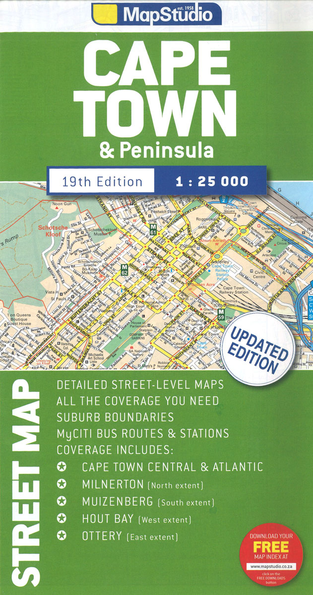
Cape Town with its outer districts on a large, double-sided street plan at 1:25,000 from Map Studio, with enlargements of the city centre and the Waterfront area, plus two detailed maps of the city’s motorway junctions.The map divides the city north/south, with a generous overlap between the sides. Motorways and other main traffic arteries are
USA ITMB
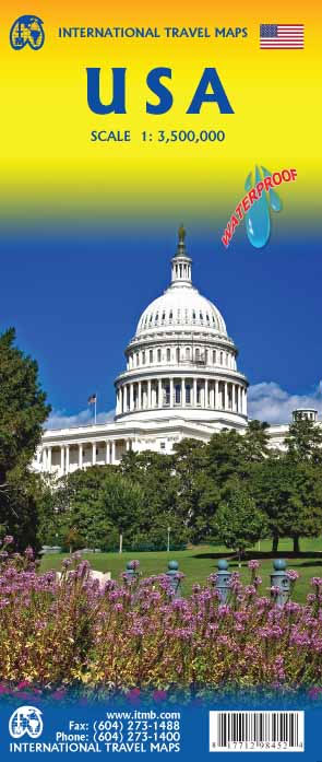
United States at 1:2,300,000 on a double-sided, indexed map with enlargements for the environs of New York, Washington, Denver, Los Angeles, San Francisco and Seattle. Altitude colouring shows the topography.The map divides UAS east/west along the line across central Texas, with a small overlap Austin between the sides. Altitude colouring in feet shows the topography,
Uganda ITMB
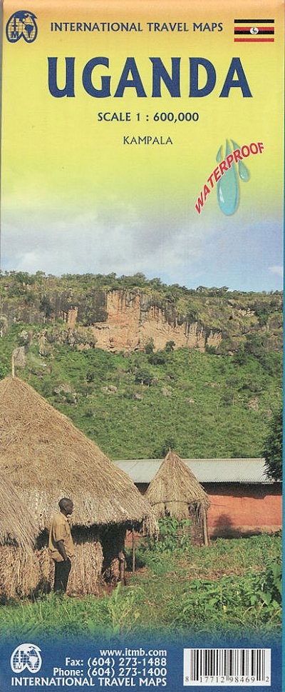
Uganda at 1:600,000 on an indexed, double-sided waterproof map from ITMB, with a street plan of central Kampala annotated with numerous facilities, plus notes on the country’s history, geography, national parks, etc.The map is double-sided, dividing the country north/south with a good overlap between the sides. Topography is shown by altitude colouring in feet, with
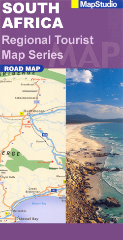
Western Cape Map Studio Pocket Map
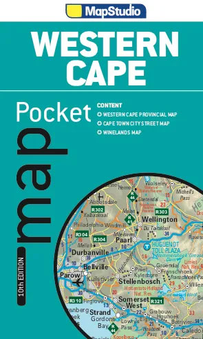
Western Cape Province on an indexed pocket map from Map Studio, providing an overview of its road and rail networks, with enlargements presenting the Table Mountain area and the Winelands in greater detail.The main map at 1:1,300,000 has elevation colouring only within the province’s borders, but with names of mountain ranges and marking for mountain
Georgia & Armenia ITMB
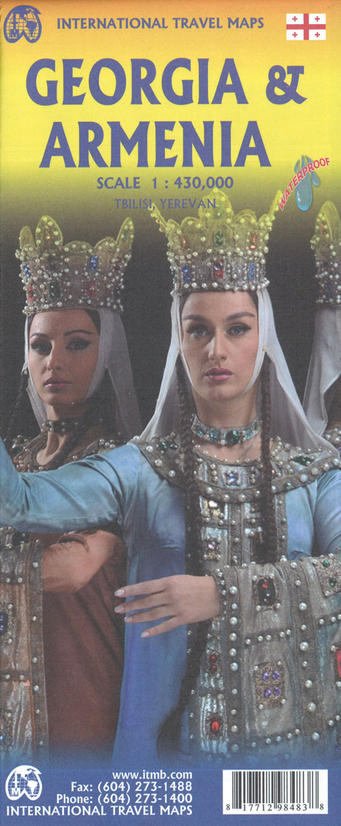
Armenia and Georgia at 1:430,000 on an indexed map from ITMB. Each side of the map covers the whole of one of these two countries, presented with a street plan of its capital. Diverse ethnography of the region is indicated on an inset.Topography is shown by altitude colouring in feet, with heights of peaks given
Trans-Siberian ITMB Railroad Atlas
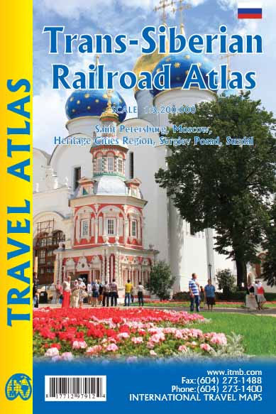
The Trans Siberian is one of the great railway trips of all time, crossing vast areas of steppe land and tundra as it wends its way from Moscow to Vladivostok. There are actually two routes for much of the western portion, and branch off lines to Mongolia and northern China in the east, as well
Texas & Oklahoma ITMB

Texas and Oklahoma on a double-sided, indexed road map from ITMB at 1:1,300,000, printed on light, waterproof and tear-resistant synthetic paper, with street maps of Oklahoma City, Tulsa and Amarillo. On one side is Oklahoma and northern Texas, with coverage extending north to Kansas City and south to Dallas; the remainder of Texas is on
Turkey South Coast ITMB
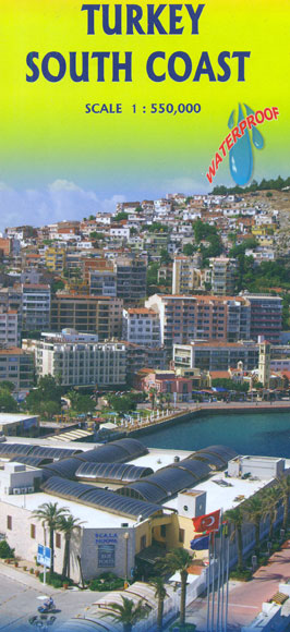
The southern coast of Turkey at 1:550,000 on a double-sided, indexed, waterproof and tear-resistant map from ITMB with topography shown by altitude colouring. Coverage, with a generous overlap between the sides, starts along the Aegean coast north of Bergama and the Pergamon archaeological site, and continues eastwards to Iskenderun and Antakya, with Kรผtahya, Lake Tuz,
Thailand North ITMB

This map goes from Bangkok north, and side one includes a very good inset map of Bankok`s central area. To my mind, the most interesting spot on this side is the town of Kanchanaburi, which is within easy striking distance of Bangkok. This was the side made famous by the war movie Bridge on the
Thailand ITMB
Thailand on an indexed, double-sided road map from ITMB, printed on light, waterproof and tear-resistant plastic paper, with street plans of central Bangkok, Chiang Mai and Pattaya highlighting main places of interest and selected accommodation.The map divides the country north/south to provide coverage at 1:900,000, but with no overlap between the two sides. Bangkok is
Tel Aviv-Jaffa & Central Israel ITMB
Waterproof and tear-resistant map from ITMB combining an indexed street plan of Jerusalem with a more detailed enlargement of its Old City, plus on the reverse a road map at 1:225,000 covering the Holy Land: northern Israel and the Palestinian Territories. On both the plans and the road map all place names are shown only
Tahiti & Cook Islands ITMB
Tahiti and the Society Islands at 1:100,000 on an indexed map from ITMB with a street plan of central Papeete. The map presents Tahiti and Moorea together, with other islands on separate panels: Bora Bora, Tahaa with Raiatea, Hu ahine, Tupai, Maiao and Maupiti. Topography of each island is shown by bright altitude colouring with
Sweden ITMB Railway & Road Map
Sweden at 1:900,000 on an indexed, double-sided map from ITMB showing its network of roads and main railway lines on a base with altitude colouring to indicate the topography, plus highlighting for main places of interest. Latitude and longitude lines are drawn at 1ยบ and 2ยบ intervals respectively. Each side has a separate index.Also included