Category Archives: Maps
Joburg & Surrounds Map Studio Street Guide
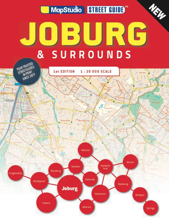
A4, 88-page, paperback street atlas of the conurbation north of central Johannesburg. Detail includes one-way streets, traffic lights, toll plazas, service stations, railways, public buildings, services, parks, landmarks, cultural sites, recreation sites, industrial areas. With an index of streets, suburbs, community services and selected locations of interest.
Nononsense Isis and Syria: The New Global War on Terror

From its sudden emergence as a military force to be reckoned with in Syria and Iraq in June 2014 through its YouTube executions of hostages to its atrocious attacks in Paris in November 2015, the movement variously known as ISIS, Islamic State and Daesh has compelled the world`s horrified attention. Where did it come from
Cyprus Flexi Map
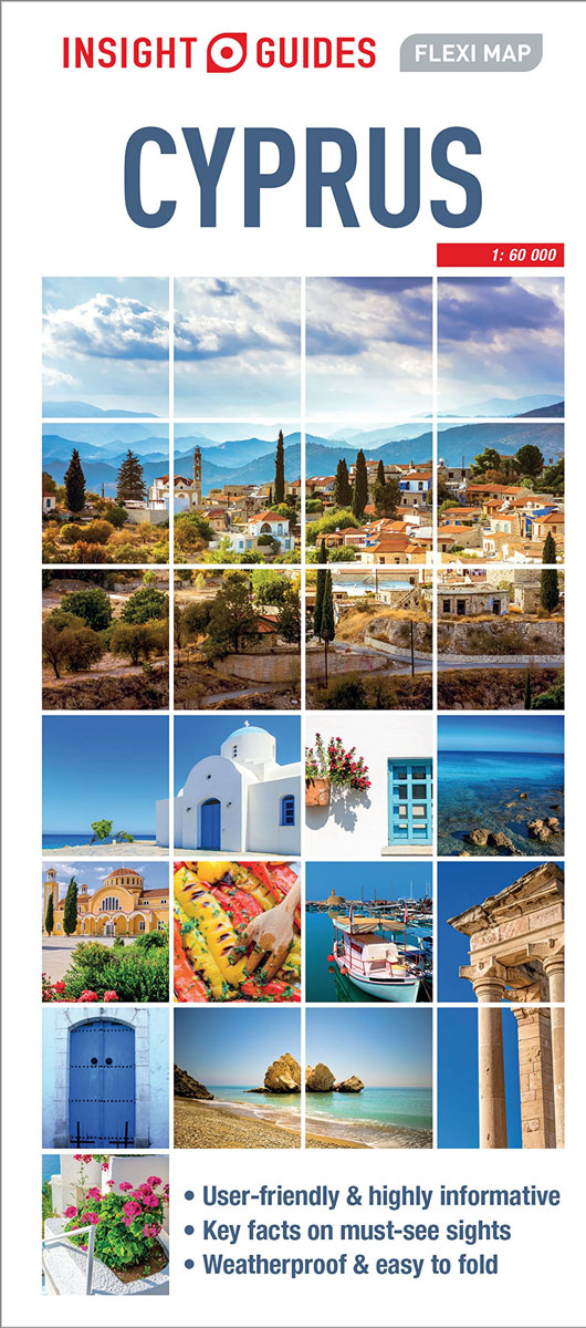
This easy to use, full-colour, water-proof map is all you need to navigate Cyprus. It also includes handy destination detail on Nicosia and Pรกfos, and tips on top attractions and getting around.ยท Combines clear, up-to-date cartography with destination detail, stylish design and stunning photographyยท The main map is at a scale of 1:220 000, with
Scotland: Mapping the Nation
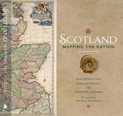
Whilst documents and other written material are obvious resources that help shape our view of the past, maps too can say much about a nation`s history. This is the first book to take maps seriously as a form of history, from the earliest representations of Scotland by Ptolemy in the second century AD to the
Kuala Lumpur Flexi Map
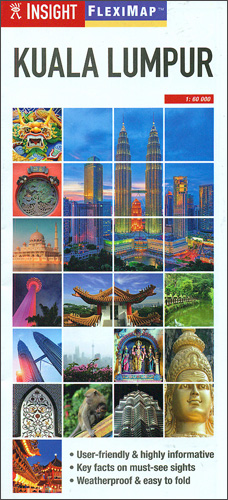
Kuala Lumpur on an Insight Flexi Map in their new format introduced to provide more convenient access to the special features of this series: various additional maps and/or street plans plus tourist information including a list of must-see sights. The map is tear-resistant, waterproof, and can be written on with non-permanent marker pens.On one side
Macau Flexi Map
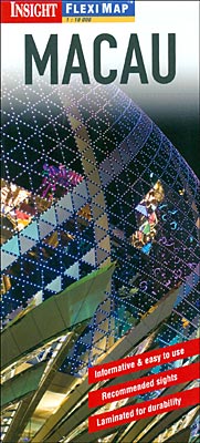
Macau on a laminated, tear-resistant Insight Flexi Map, with street plans of Macau itself plus of Taipa and Coloane Islands, a road map of the surrounding region including Hong Kong and Guangzhou, plus extensive tourist information. On one side is a street plan of Macau at 1:10,000. Main public buildings, places of interest and selected
Northern France Insight Travel Map
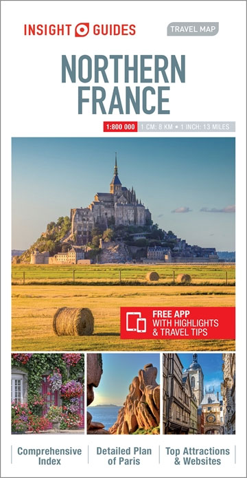
This Insight Guides Travel Map of Northern France is an indexed, road map at 1:800 000. It includes a city plan of Paris and an enlarged road map of the Paris area. Places of interest, including national parks, nature reserves and heritage sites, are listed and accompanied by a wide range of pictorial symbols for
Budapest Flexi Map
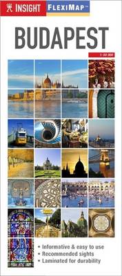
Central Budapest on an Insight Flexi Map in their new format introduced to provide more convenient access to the special features of this series: various additional maps and/or street plans plus tourist information including a list of must-see sights. The map is tear-resistant, waterproof, and can be written on with non-permanent marker pens.On one side
Botswana Globetrotter Map
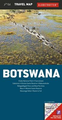
Botswana at 1:1,750,000 on an indexed tourist map from Globetrotter with on the reverse 10 panels with enlargements of the country’s most visited national parks and game reserves plus street plans, including the Okavango Delta, Chobe and Gaborone.On one side is the map of the whole country. The publishers’ preferred style of presentation is to
Children of the Jacaranda Tree

Tehran, 1983. A city paralysed by fear, its people silenced. And the beating heart of the regime is Evin prison. Yet even within its walls three women dare to dream of a life beyond tyranny. Azar gives birth to her daughter in captivity. One day the guards simply take her child from her. Parisa yearns
Cape Town Map Studio Pocket Map
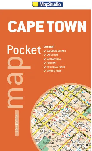
Central Cape Town at 1:10,000 on a handy size pocket street plan from Map Studio highlighting various places of interest, with on the reverse a road map of the Cape Peninsula and the city including access to the international airport.On one side is a detailed street plan of Cape Town’s central districts highlighting main traffic
USA Western Railroads/Highways ITMB
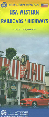
The western half of USA from Denver to the Pacific on a double-sided, indexed map at 1:1,700,000 from ITMB with topography shown by altitude colouring and numerous peak heights (elevation in feet), names of mountain ranges, etc. Railway lines are easier to see than on most other maps covering all or East/West USA, although are
Cape Town & Peninsula Map Studio
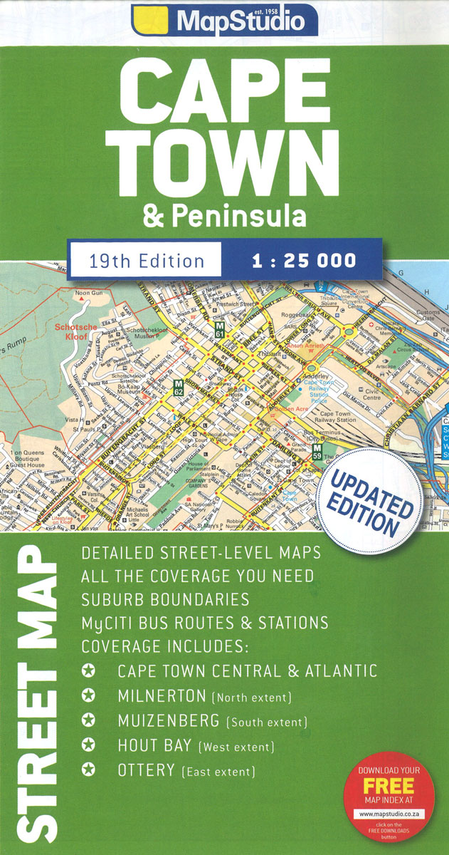
Cape Town with its outer districts on a large, double-sided street plan at 1:25,000 from Map Studio, with enlargements of the city centre and the Waterfront area, plus two detailed maps of the city’s motorway junctions.The map divides the city north/south, with a generous overlap between the sides. Motorways and other main traffic arteries are
USA ITMB
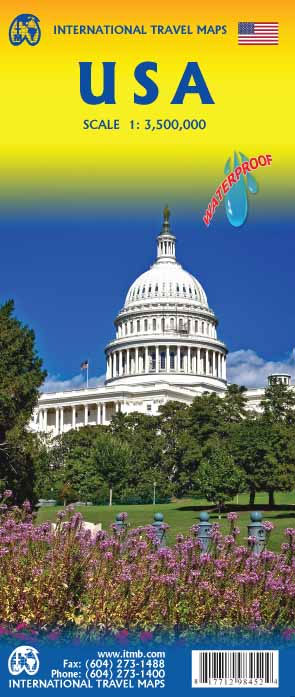
United States at 1:2,300,000 on a double-sided, indexed map with enlargements for the environs of New York, Washington, Denver, Los Angeles, San Francisco and Seattle. Altitude colouring shows the topography.The map divides UAS east/west along the line across central Texas, with a small overlap Austin between the sides. Altitude colouring in feet shows the topography,
Uganda ITMB
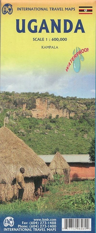
Uganda at 1:600,000 on an indexed, double-sided waterproof map from ITMB, with a street plan of central Kampala annotated with numerous facilities, plus notes on the country’s history, geography, national parks, etc.The map is double-sided, dividing the country north/south with a good overlap between the sides. Topography is shown by altitude colouring in feet, with
Western Cape Map Studio Pocket Map
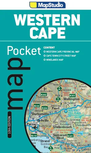
Western Cape Province on an indexed pocket map from Map Studio, providing an overview of its road and rail networks, with enlargements presenting the Table Mountain area and the Winelands in greater detail.The main map at 1:1,300,000 has elevation colouring only within the province’s borders, but with names of mountain ranges and marking for mountain