Category Archives: Maps
Swansea – Bridgend – Carmarthen – Llanelli – Neath A-Z Street Atlas
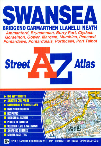
Swansea, Bridgend, Carmarthen, Llanelli and Neath Street Atlas from the Geographers` A-Z Map Company in a paperback format slightly smaller than A5. Map scale is 1:15,840 (4″ to a mile), with the Gower Peninsula shown at 1;31,680 (2″ to a mile), plus an enlargement showing the town centre of Swansea in greater detail at 1:7,920
Surrey, East & West Sussex A-Z Visitors` Map
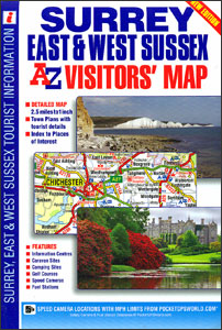
Surrey, East Sussex and West Sussex at 2.5 miles to 1″ (1:158,400) on a clear, indexed road map from A-Z highlighting numerous places of interest and prominently showing areas with particularly picturesque landscape. Coverage extends from central London eastwards to Ashford in Kent, and westwards to Basingstoke and Portsmouth. Colouring prominently indicates Areas of Outstanding
Leicester – Lutterworth – Market Harborough A-Z Street Atlas
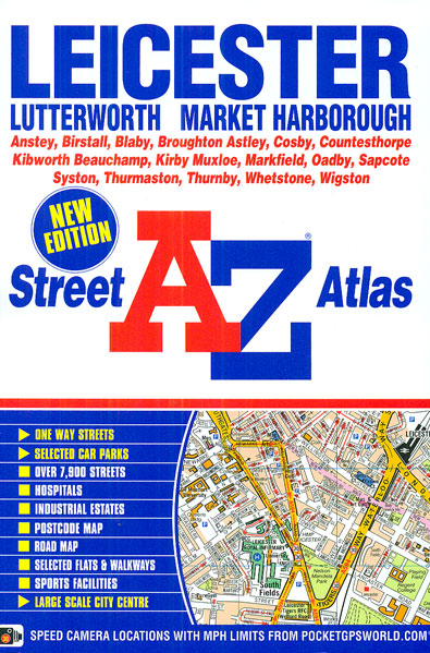
Leicester, Lutterworth and Market Harborough Street Atlas from the Geographers` A-Z Map Company in a paperback format slightly smaller than A5. Map scale is 1:15,840 (4″ to a mile), with an enlargement showing the town centre of Leicester in greater detail at 1:7,920 (8″ to 1 mile). Coverage includes Anstey, Birstall, Blaby, Broughton Astley, Cosby,
West Yorkshire – Leeds – Bradford A-Z Street Atlas
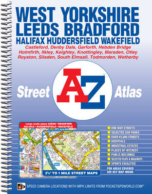
West Yorkshire Street Atlas from the Geographers` A-Z Map Company in a spiral-bound format slightly smaller than A4 and covering the whole county at 1:19,000 (3.33″ to 1 mile). More detailed mapping at 1:9,051 (7″ to 1 mile) shows town centres of Leeds, Bradford, Halifax, Huddersfield and Wakefield. Current edition of this title was published
Colchester – Clacton-on-Sea – Harwich – Sudbury A-Z Street Atlas
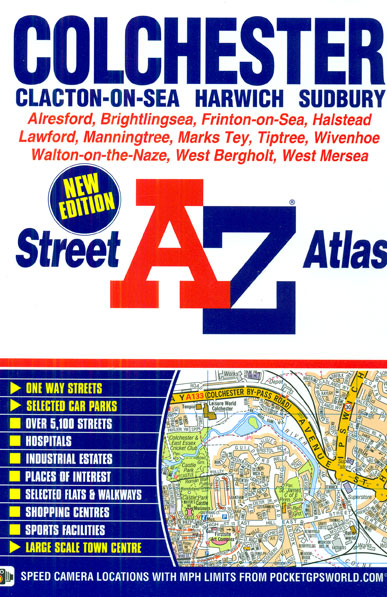
Colchester, Clacton-on-Sea, Harwich and Sudbury Street Atlas from the Geographers` A-Z Map Company in a paperback format slightly smaller than A5. Map scale is 1:19,000 (3.33″ to a mile), with an enlargement showing the town centre of Colchester in greater detail at 1:9,500 (6.66″ to 1 mile). Coverage includes Alresford, Brightlingsea, Frinton-on-Sea, Halstead, Lawford, Manningtree,
Cotswolds & Chilterns A-Z Visitors` Map
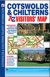
Cotswolds and Chilterns Visitors’ Map from Geographers’ A-Z Map Company, covering at 1:158,400 (1″ to 2.5 miles) a wide area across the Home Counties, with an index listing both town/villages and places of interest highlighted on the map. Coverage along the map southern edge extends from the Heathrow Airport and the junction of M25 and
Isle of Wight A-Z Adventure Atlas
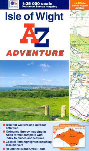
Isle of Wight Adventure Atlas at 1:25,000 in a series of handy A5 size Adventure Atlases from Geographers` A-Z Map Company with cartography from the Ordnance Survey’s Explorer series. Coverage includes Keyhaven in Hampshire with a ferry connection to Yarmouth, other ferry links are marked and the atlas includes a Ferry Information section with contact
Hampshire, Dorset & Wiltshire A-Z Visitors` Map
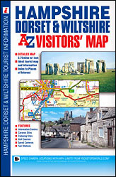
Hampshire, Dorset and Wiltshire Visitors` Map from Geographers’ A-Z Map Company covering at 1:174,240 (1″ to 2.75 miles) the southern counties of England, with an index listing both town/villages and places of interest highlighted on the map. Coverage extends along the coast from Chichester to Lyme Regis, further inland from Maidenhead to Weston-super-Mare, and northwards
West Midlands – Birmingham – Coventry – Wolverhampton A-Z Street Atlas
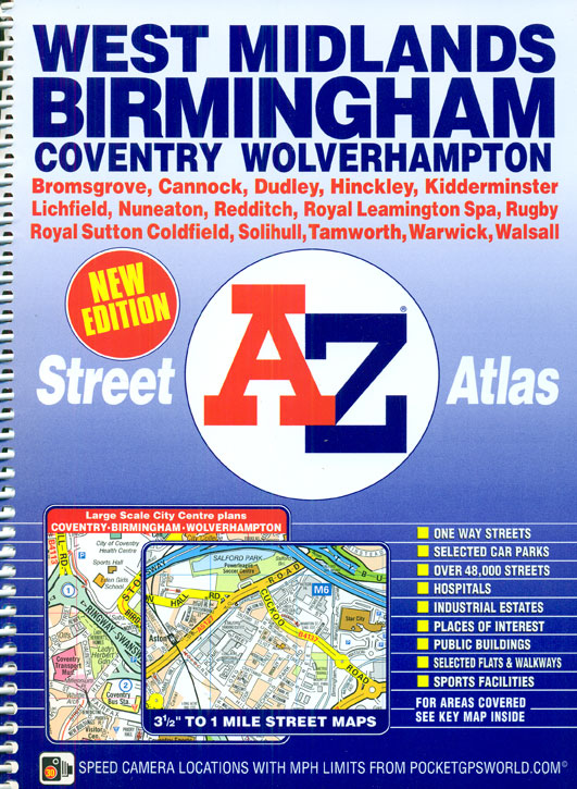
West Midlands – Birmingham Street Atlas from the Geographers` A-Z Map Company in a spiral-bound format slightly smaller than A4 and covering the whole metropolitan county at 1:18,103 (3.5″ to 1 mile). More detailed mapping at 1:9,051 (7″ to 1 mile) shows town centres of Birmingham, Coventry and Wolverhampton. Current edition of this title was
Tyne & Wear – Newcastle upon Tyne – Sunderland A-Z Street Atlas
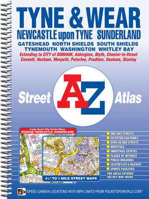
Tyne and Wear Street Atlas from the Geographers` A-Z Map Company in a spiral-bound format slightly smaller than A4 and covering the whole metropolitan county plus the northern part of County Durham at 1:14,908 (4.25″ to 1 mile). More detailed mapping at 1:10,560 (6″ to 1 mile) shows central Newcastle with Gateshead, plus at 1:7,454
Kent A-Z Visitors` Map
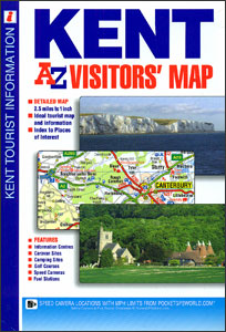
Kent Visitors` Map from Geographers’ A-Z Map Company covering at 1:158,400 (1″ to 2.5 miles), prominently highlighting numerous places of interest which are also listed in an index, plus plans of the Channel Tunnel terminals at Folkestone and Calais. Coverage along the southern coast extends beyond Eastbourne to Seaford and Newhaven. Road network is shown
Weston-super-Mare – Burnham-on-Sea – Clevedon A-Z Street Atlas
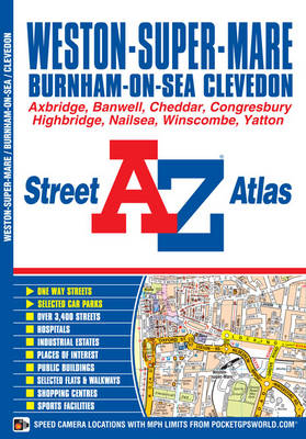
Weston-super-Mare, Burnham-on-Sea and Clevedon Street Atlas from the Geographers` A-Z Map Company in a paperback format slightly smaller than A5. Map scale is 1:15,840 (4″ to a mile). Coverage includes Axbridge, Banwell, Cheddar, Congresbury, Highbridge, Nailsea, Winscombe and Yatton. Current edition of this title was published in 2015.To see other titles in this series of
Middlesbrough – Stockton-on-Tees A-Z Street Atlas
Middlesbrough, Stockton-on-Tees, Billingham, Hartlepool, Guisborough and Redcar Street Atlas from the Geographers` A-Z Map Company in a paperback format slightly smaller than A5. Map scale is 1:15,840 (4″ to a mile). Coverage includes Eston, Great Ayton, Hart, Sedgefield, Staithes, Yarm, Saltburn-by-the-Sea, Stokesley and Thornaby-on-Tees. Current edition of this title was published in 2015.To see other
50 Miles Around Bristol A-Z Map
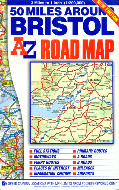
50 Miles around Bristol on an indexed road map at 1:200,000 (1″ to 3 miles) from A-Z. Coverage extends west beyond Cardiff, north to Worcester, south-east to Southampton, and south-west to Exeter. The index is next to the map. Current edition was published in 2015.Mapping in this regional series from A-Z has clear presentation of
Bristol – Bath A-Z Street Atlas
Bristol and Bath Street Atlas from the Geographers` A-Z Map Company in a paperback format slightly smaller than A5. Map scale is 1:15,840 (4″ to a mile), with enlargements showing town centres of Bristol and Bath in greater detail at 1:7,920 (8.” to 1 mile). Coverage includes Avonmouth, Bradley Stoke, Keynsham, Kingswood, Mangotsfield, Portishead and
National Three Peaks Adventure Atlas: Ben Nevis, Scafell Pike, Snowdon
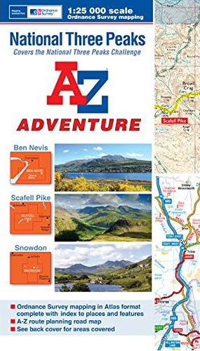
National Three Peaks Adventure Atlas from A-Z Map Company with cartography of the Ordnance Survey’s 1:25,000 Explorer series covering Ben Nevis, Scafell Pike and Snowdon supplemented by A-Z’s road mapping linking these three areas. Mapping of each peak at 25K is presented with additional information on access, general advice, etc, plus OR codes for downloading
Exmoor A-Z Adventure Atlas
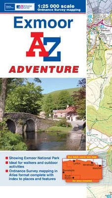
Exmoor at 1:25,000 in a series of handy A5 size Adventure Atlases from Geographers` A-Z Map Company with cartography from the Ordnance Survey’s Explorer series. Coverage includes the South West Coast path between Minehead and Combe Martin Bay, Two Moors Way, Tarka Train, Dulverton, Brendon Hills, etc.To see other titles in this series please click
Bolton – Bury A-Z Street Atlas
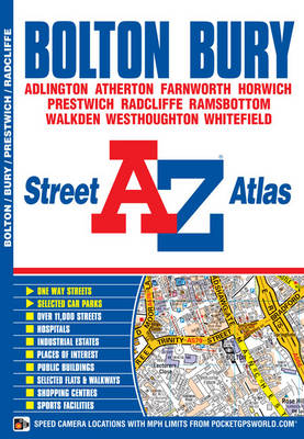
Bolton and Bury Street Atlas from the Geographers` A-Z Map Company in an A5 paperback format at 1:15,840 (4″ to a mile), with enlargements showing the two town centres in greater detail at 1:7,920 (8″ to 1 mile). Coverage includes Adlington, Atherton, Farnworth, Horwich, Prestwich, Radcliffe, Ramsbottom, Walkden, Westhoughton and Whitefield. Current edition of this
The Lady Killer

A dizzying tale oflust and murder, from one of Japan`s greatest mysterywriters.A hunter prowls the night spotsof ShinjukuBut he`s the one walking into a trap…IchiroHonda leads a double life: by day a devoted husband and a diligent worker, bynight he moves through the shadow world of Tokyo`s cabaret bars and nightclubsin search of vulnerable women
Milton Keynes – Bletchley – Buckingham – Leighton Buzzard – Newport Pagnell A-Z Street Atlas
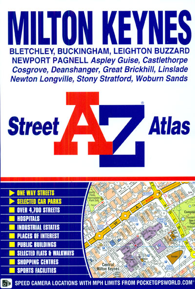
Milton Keynes, Bletchley, Buckingham, Leighton Buzzard and Newport Pagnell Street Atlas from the Geographers` A-Z Map Company in a paperback format slightly smaller than A5. Map scale is 1:19,000 (3.33″ to a mile). Coverage includes Aspley Guise, Castlethorpe, Cosgrove, Deanshanger, Great Brickhill, Linslade, Newton Longville, Stony Stratford and Woburn Sands. Current edition of this title