Category Archives: Maps
Warwickshire A-Z County Atlas
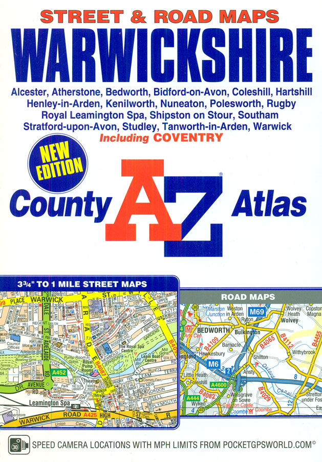
Warwickshire Street Atlas from the Geographers` A-Z Map Company in a spiral-bound format slightly smaller than A4 and covering selected parts of the county at 1:16,896 (3.75″ to 1 mile). More detailed mapping at 1:8,448 (7.5″ to 1 mile) shows the town centre of Coventry, plus at 1:4224 (15″ to 1 mile) of Stratford-upon-Avon. Current
West Sussex A-Z Street Atlas
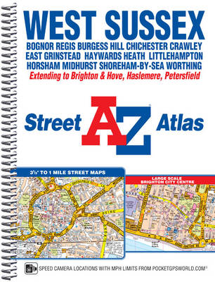
West Sussex Street Atlas from the Geographers` A-Z Map Company in a spiral-bound format slightly smaller than A4 and covering the whole county at 1:19,000 (3.33″ to 1 mile). More detailed mapping at 1:9,500 (6.67″ to 1 mile) shows the town centre of Brighton. Current edition of this title was published in 2013.To see other
Manchester A-Z Big Street Atlas SPIRAL-BOUND
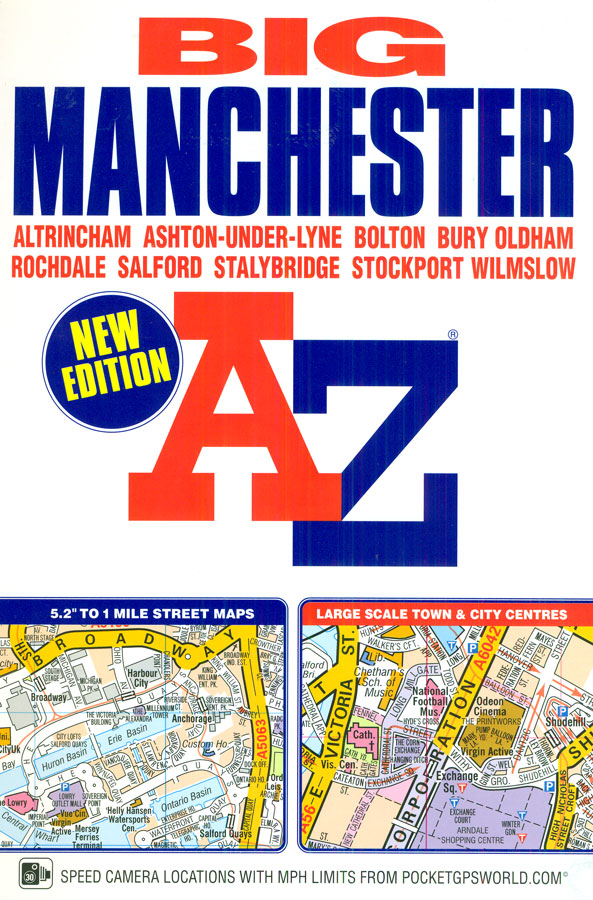
Manchester Street Atlas from the Geographers` A-Z Map Company in an A4 spiral-bound format at 1:12,196 (5.2″ to a mile), with enlargements showing the town centres of Manchester, Rochdale, Oldham, Ashton-under-Lyme, Stockport, Altrincham, Bury and Bolton in greater detail at 1:6,098 (10.39″ to 1 mile). Coverage includes Stalybridge and Wilmslow. Current edition of this title
Maidstone & Medway Towns A-Z Street Atlas
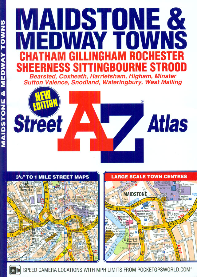
Maidstone, Medway Towns (Chatham, Gillingham Rochester, Strood), Sheerness and Sittingbourne Street Atlas from the Geographers` A-Z Map Company in a paperback format slightly smaller than A5. Map scale is 1:19,000 (3.33″ to a mile), with enlargements showing the town centres of Maidstone, Chatham, Gillingham and Rochester in greater detail at 1:9,500 (6.67″ to 1 mile).
Liverpool A-Z Street Plan Wall Map
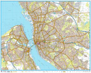
Liverpool Premier Wall Map, size 121 x 96cm, *paper version*, from Geographers` A-Z Map Company designed to cover the city within its administrative boundaries, with a separate comprehensive index booklet listing streets, places and areas, industrial estates, selected flats and walkways, service areas, stations, and selected places of interest, shown where appropriate with their postcodes.The
Leeds A-Z Street Plan Wall Map
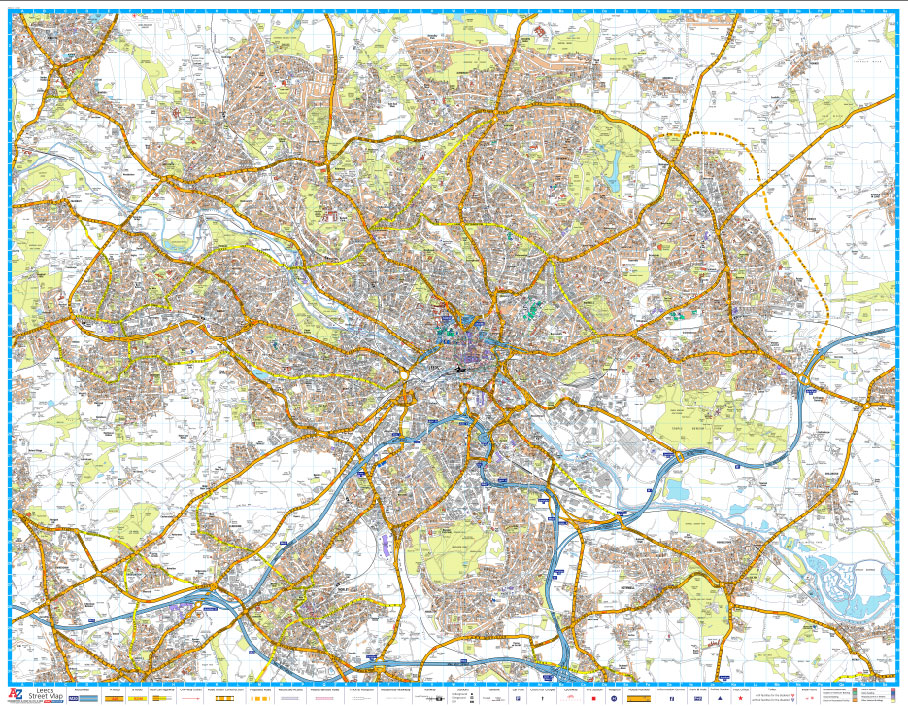
Leeds Premier Street Plan from Geographers` A-Z Map Company designed to cover the city within its administrative boundaries, with a separate comprehensive index booklet listing streets, places and areas, industrial estates, selected flats and walkways, service areas, stations, and selected places of interest, shown where appropriate with their postcodes.The city is covered at 3.5 inches
Leicester A-Z Street Plan Wall Map
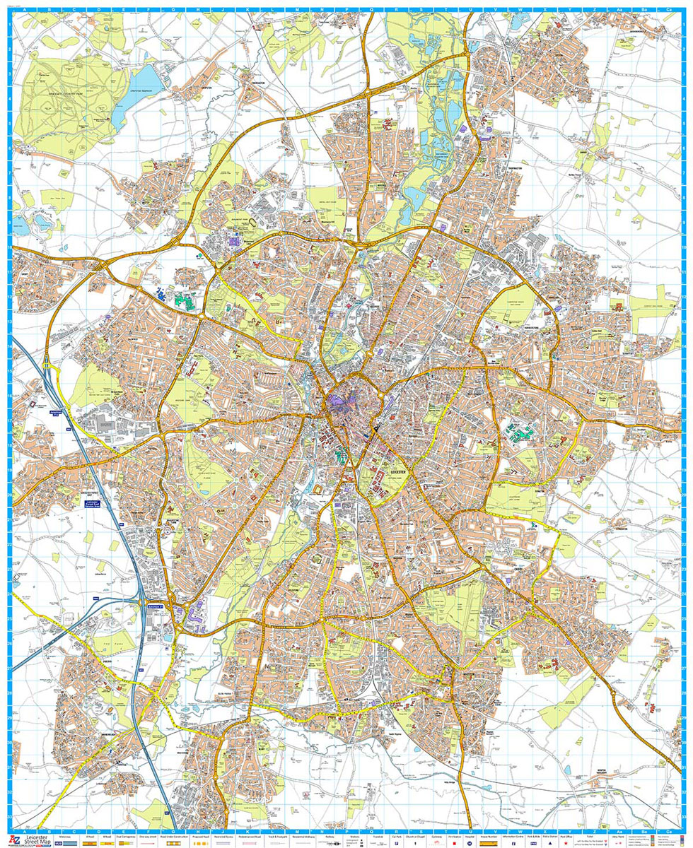
Leicester Premier Wall Map, size 121 x 96cm, *paper version* from Geographers` A-Z Map Company designed to cover the city within its administrative boundaries, with an enlargement for the city centre and an index listing streets, places and areas, hospitals, industrial estates, selected flats and walkways, stations, and selected places of interest, shown where appropriate
Sheffield A-Z Street Plan Wall Map
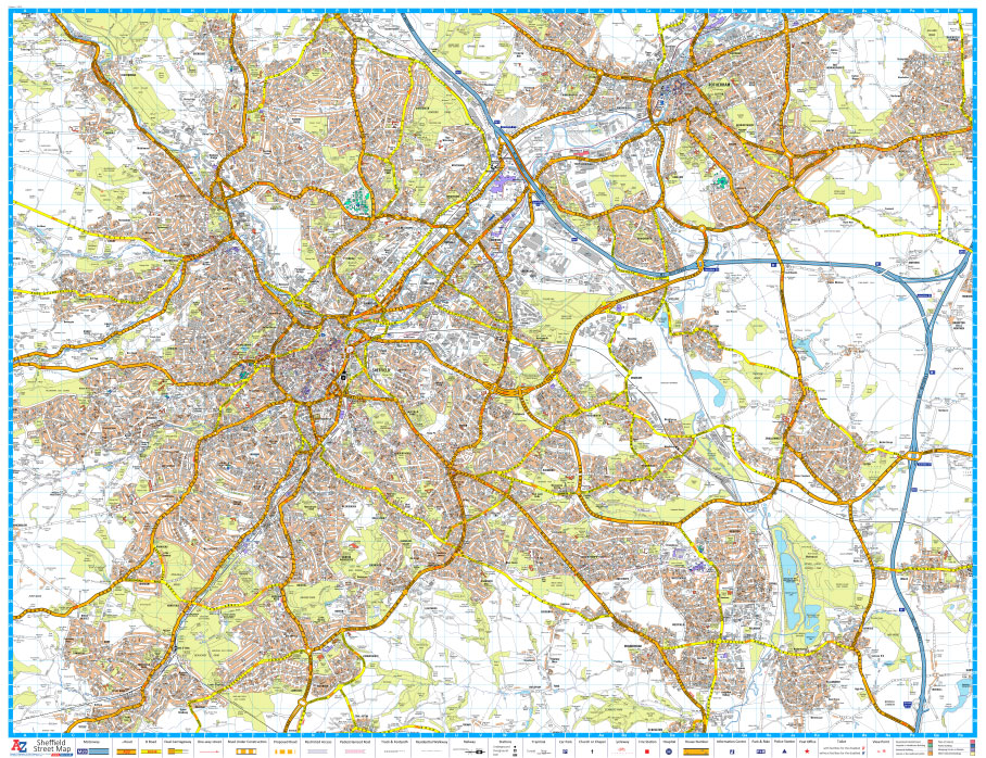
Sheffield Premier Wall Map, size 115x 89cm, *paper version*, from Geographers` A-Z Map Company designed to cover the city within its administrative boundaries, with a separate comprehensive index booklet listing streets, places and areas, industrial estates, selected flats and walkways, service areas, stations, and selected places of interest, shown where appropriate with their postcodes.The city
South West Coast Path 5 – Dorset A-Z Adventure Atlas
South West Coast Path 5 – Dorset Adventure Atlas at 1:25,000 in a series of handy A5 size Adventure Atlases from Geographers` A-Z Map Company with cartography from the Ordnance Survey’s Explorer series. The guide covers the 138 km / 86 mile section of the SWCP National Trail between Lyme Regis and Poole and includes
South West Coast Path 4 – South Devon Adventure Atlas

South West Coast Path 4 – South Devon Adventure at 1:25,000 in a series of handy A5 size Adventure Atlases from Geographers` A-Z Map Company with cartography from the Ordnance Survey’s Explorer series. The guide covers the 210 km / 131 mile section of the SWCP National Trail between Plymouth and Lyme Regis and includes
Wirral – Birkenhead – Ellesmere Port – Wallasey A-Z Street Atlas
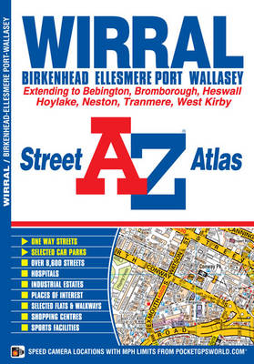
The Wirral: Birkenhead, Ellesmere Port and Wallasey Street Atlas from the Geographers` A-Z Map Company in a paperback format slightly smaller than A5. Map scale is 1:15,840 (4″ to a mile). Coverage includes Bebington, Bromborough, Heswall, Hoylake, Neston, Tranmere and West Kirby. Current edition of this title was published in 2015.To see other titles in
South West Coast Path 3 – South Cornwall A-Z Adventure Atlas
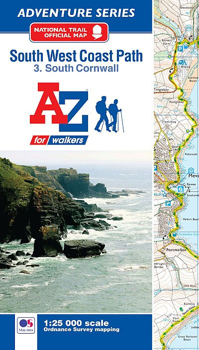
South West Coast Path 3 – South Cornwall Adventure Atlas at 1:25,000 in a series of handy A5 size Adventure Atlases from Geographers` A-Z Map Company with cartography from the Ordnance Survey’s Explorer series. The guide covers the 252km / 158 mile section of the SWCP National Trail between Land’s End and Plymouth and includes
50 Miles Around London A-Z Map
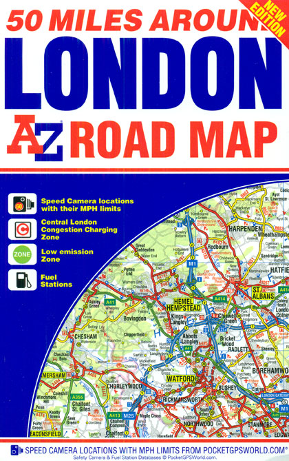
50 Miles around London on an indexed road map at 1:221.760 (1″ to 3.5 miles) from A-Z. Coverage extends west beyond Portsmouth and Oxford, north to Rugby and Huntingdon, and north-east beyond Ipswich. Additional maps show Greater London Low Emission Zone and the Congestion Charging Zone within London. The index is next to the map.
North Downs Way A-Z Adventure Atlas
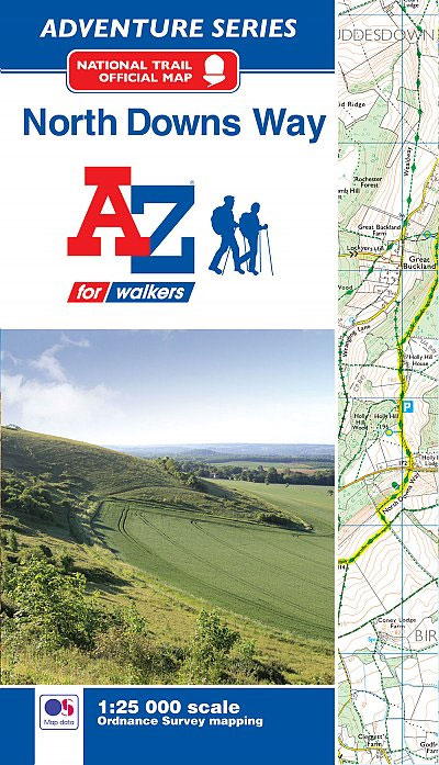
North Downs Way Adventure Atlas at 1:25,000 in a series of handy A5 size Adventure Atlases from Geographers` A-Z Map Company with cartography from the Ordnance Survey’s Explorer series. The route from Farnham to Dover is presented with the alternative final sections, either via Canterbury or via Folkestone. To see other titles in this series
Kingston upon Hull – Barton-upon-Humber – Beverley A-Z Street Atlas
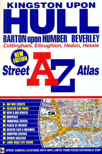
Hull (Kingston upon Hull), Barton upon Humber and Beverley Street Atlas from the Geographers` A-Z Map Company in a paperback format slightly smaller than A5. Map scale is 1:15,840 (4″ to a mile), with an enlargement showing the town centre of Hull in greater detail at 1:7,920 (8″ to 1 mile). Coverage includes Cottingham, Elloughton,
South West Coast Path 1 – North Devon & Somerset A-Z Adventure Atlas

South West Coast Path 1 – North Devon & Somerset Adventure Atlas at 1:25,000 in a series of handy A5 size Adventure Atlases from Geographers` A-Z Map Company with cartography from the Ordnance Survey’s Explorer series. The guide covers the 199km / 125 mile section of the SWCP National Trail between Bude and Minehead and
Middlesbrough – Stockton-on-Tees A-Z Street Atlas
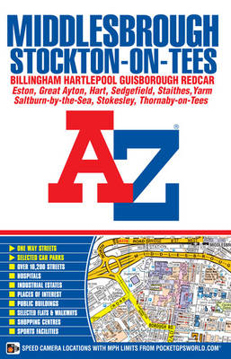
Middlesbrough, Stockton-on-Tees, Billingham, Hartlepool, Guisborough and Redcar Street Atlas from the Geographers` A-Z Map Company in a paperback format slightly smaller than A5. Map scale is 1:15,840 (4″ to a mile). Coverage includes Eston, Great Ayton, Hart, Sedgefield, Staithes, Yarm, Saltburn-by-the-Sea, Stokesley and Thornaby-on-Tees. Current edition of this title was published in 2015.To see other
50 Miles Around Bristol A-Z Map
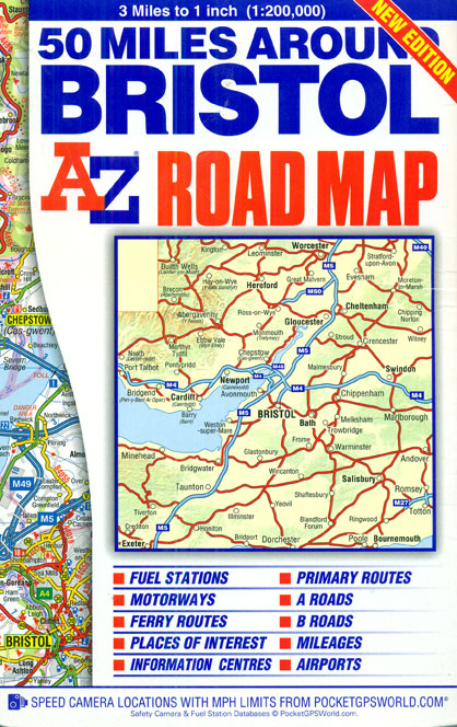
50 Miles around Bristol on an indexed road map at 1:200,000 (1″ to 3 miles) from A-Z. Coverage extends west beyond Cardiff, north to Worcester, south-east to Southampton, and south-west to Exeter. The index is next to the map. Current edition was published in 2015.Mapping in this regional series from A-Z has clear presentation of
Bristol – Bath A-Z Street Atlas
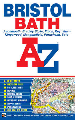
Bristol and Bath Street Atlas from the Geographers` A-Z Map Company in a paperback format slightly smaller than A5. Map scale is 1:15,840 (4″ to a mile), with enlargements showing town centres of Bristol and Bath in greater detail at 1:7,920 (8.” to 1 mile). Coverage includes Avonmouth, Bradley Stoke, Keynsham, Kingswood, Mangotsfield, Portishead and
National Three Peaks Adventure Atlas: Ben Nevis, Scafell Pike, Snowdon
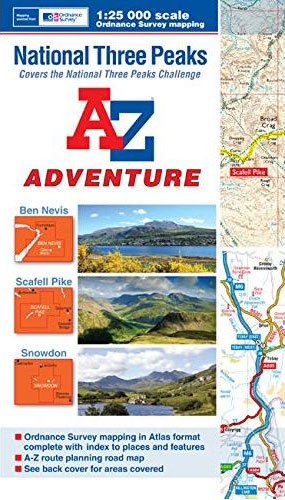
National Three Peaks Adventure Atlas from A-Z Map Company with cartography of the Ordnance Survey’s 1:25,000 Explorer series covering Ben Nevis, Scafell Pike and Snowdon supplemented by A-Z’s road mapping linking these three areas. Mapping of each peak at 25K is presented with additional information on access, general advice, etc, plus OR codes for downloading