Category Archives: Maps
USA West Map
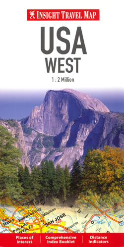
USA West from Insight, on a tour oriented road map of the whole region at a scale of 1:2,000,000 and with extensive tourist information on the legend and a detailed index booklet arranged alphabetically, with the facility to search by place name or point of interest, including national parks. Road network shown covers highways, trunk
Our Favourite Recipes

This is a completely new edition of one of the most outstanding recipe compendiums of Asian homecooking. First published in 1987, the book covers dishes from Singapore, Malaysia, Indonesia, Thailand, Vietnam, India, Sri Lanka, Burma, and the Philippines. The 210 recipes are unusual yet authentic, and are a welcome addition to the standard repertoir published
Thailand at Random

This title offers a wonderful collection of fascinating facts, amazing anecdotes, and incredible stories celebrating the unique nature and diversity that is Thailand. Who invented the dish Phad Thai and why? What are the seven characteristics that allow an elephant to be deemed a “white elephant”? What rights and privileges are prisoners accorded in jail?
Remembering Cambodia

To many people Cambodia is associated with poverty, war and the genocidal reign of the brutal Khmer Rouge. However, these are not the images that everyone holds of this Southeast Asian nation. The poverty still exists but war has been replaced by a new word – hope. As peace is embraced after decades of conflict,
Scenes of Singapore: A Watercolour Album
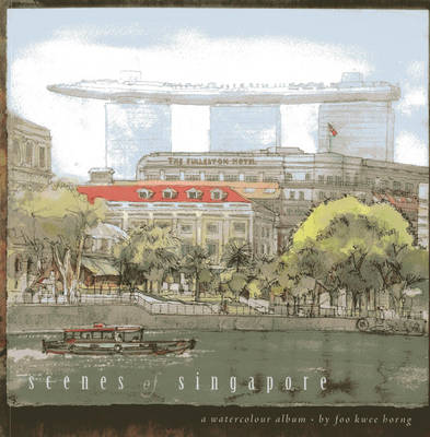
See Singapore in a new light! This vibrant volume of watercolours offers readers a tour through the country`s iconic buildings, neighbourhoods and scenes. With loving detail, local artist Foo Kwee Horng paints a veritable A-to-Z gallery of Singapore, from the ArtScience Museum, Botanic Gardens and Raffles Hotel to traditional shophouses, five-footways, churches, mosques and the
Birmingham Z-Map

Combines a map of Birmingham on one side with useful and engaging travel information on the reverse. Subjects covered include top attractions, a day planner, a guide to eating out and advice on getting around. Designed to make viewing and folding easy, this map is ideal for those taking a short city break.
Ibiza Z-Map
Yangon: Historical Walks Map
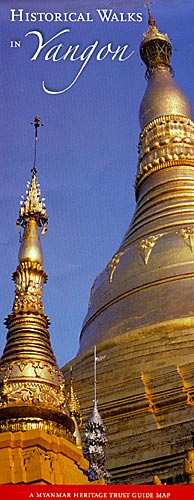
Historical Walks in Yangon (Rangoon), a waterproof and tear-resistant folded map from the Myanmar Heritage Trust published by Silkworm Books, with street plans and detailed descriptions of three walks around the city’s best preserved districts.On one side is a generalized street plan of Yangon naming main streets and districts. Three areas of particular historical and
Aegean Coast / Bati Ege Mepmedya Road Map
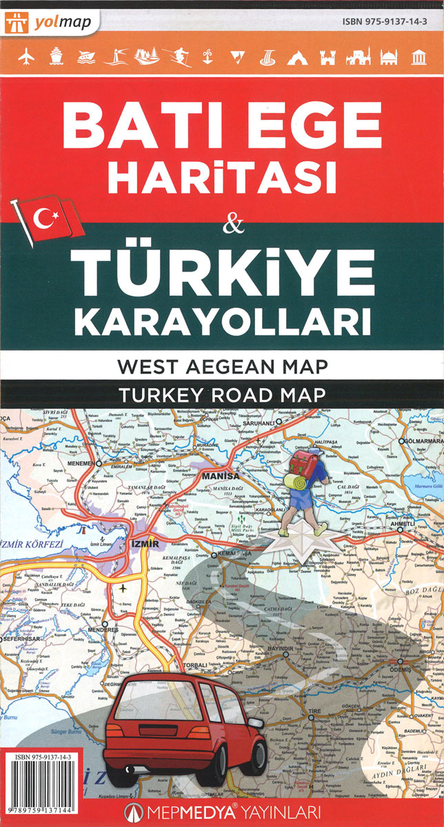
The Aegean coast of Turkey at 1:400,000 in a series of regional maps from Mepmedya Yayinlari also covering the European part of the country and the southern Mediterranean coast and the region around Ankara. The map is published in a handy double-sided format of 98 x 33cm when opened, easy to use when travelling.The map
Turkey – Middle East Road Map
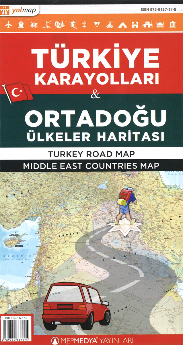
Turkey Road Map at 1:1,200,000 from Mepmedya includes main transport routes (major roads and railways), many places of interest and a distance chart on a double-sided sheet. *Map legend also in English.* Motorways, secondary and many minor roads are shown and numbered where relevant, as are major railway lines, airports, some major ferry routes and
Turkey – Europe Road Map
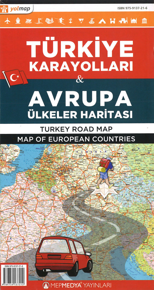
Turkey Road Map at 1:1,200,000 from Mepmedya includes main transport routes (major roads and railways), many places of interest and a distance chart on a double-sided sheet. *Map legend also in English.* Motorways, secondary and many minor roads are shown and numbered where relevant, as are major railway lines, airports, some major ferry routes and
Adana Main Roads Map
Street plan of Adana from the Turkish publishers Mepmedya Yayinlari. The plan is double-sided, with a small overlap between the sides, and covers Adana with its outer districts at 1:30,000. Only larger streets plus the districts are named. The plan indicates various facilities and places of interest, including shopping centres, educational establishments, places of worship,
Gaziantep Main Roads Plan
Gaziantep – a town close to the Syrian border, previously and still informally called Antep – on a double-sided street plan at 1:17,000 from the Turkish publishers Mepmedya Yayinlari. The plan covers the town, one of the oldest continually inhabited cities in the world, with its outer disstricts and shows names of larger streets and
Abuja
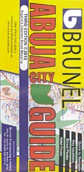
Abuja at 1:20,000 on a clear, well presented, indexed street plan from MDZ Multimedia, with on the reverse a street plan of Kubwa and a road map of Nigeria’s Federal Capital Territory (FCT). On one side is the street plan of the capital. Within the city centre and is most other districts not only the
India: Living in an Ornate World

India, Living in an Ornate World explores as to why India is so rich in colour and ornamentation and why it has such a diversity of culture and architecture. There is still a large part of the population who prefer to continue living their traditional life in old-world settings. Their buildings reflect their long artistic
The Ultimate Bali Travel Guide: Bali & Nusa Lembongan, Gili Islands, Lombok
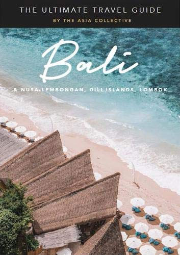
The Ultimate Bali Travel Guide reveals the most exciting hotspots and must-do`s across Bali, Nusa Lembongan, the Gili Islands and Lombok. Discover spectacular hotels and enchanting boutique stays, indulge in extraordinary cuisine at award-winning restaurants and hip cafes, sip cocktails at the dreamiest sunset bars, and recharge at the islands` heavenly spas. Experience more than
Brasov Region Tourist Map
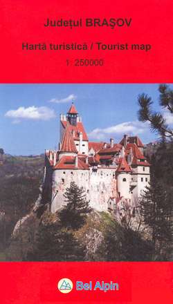
The Bel Alpin tourism map of Brasov county in Romania is a 1:250,000 scale road map of one of Romania’s most popular tourist destinations, including detail of the Poiana Brasov ski region and Brasov old town. It also offers wide-ranging detailed descriptions of the area on the reverse.The map offers easy-to-read road mapping showing major


