Category Archives: Maps
Poland Insight Travel Map
Insight Guides Travel Map PolandTravel made easy. Ask local experts.This detailed travel map is all you need to plan your route and navigate your way around Poland; also includes a comprehensive index and a fabulous free app.Features of this travel map to Poland:- Drawn to a scale of 1:800 000, showing the entire country, complete
G33 Southern Cyclades
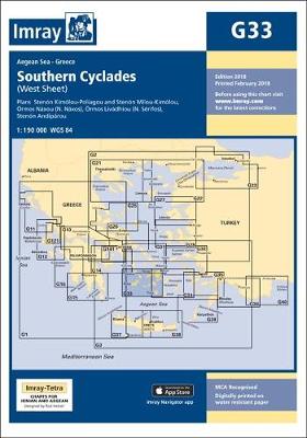
Imray’s series of charts of Greece and Turkey are comprehensive and easy-to-use sailing charts published on rip-proof, waterproof paper- ideal for use on small tables or in cockpits. They show detailed coastline and depth information, and are constantly corrected to reflect latest information. Designed primarily for yachtsmen, they are comprehensive without being unnecessarily cluttered.This chart
G28 Nisos Khios & the Coast of Turkey
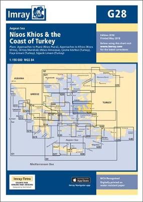
Plans included: Approaches to Psara (Nisos Psara) (1:15,000) Approaches to Khios (Nisos Khios) (1:20,000) Ormos Mandraki (Nisos Oinoussa) (1:8,000) Cesme Korfezi (Turkey) (1:18,000) Foca Limani (Turkey) (1:20,000) Sigacik Limani (Turkey) (1:18,000) On this 2013 edition full details of the new TSS schemes are shown at Izmir Korfezi, Candarli Korfezi and Nemrut Koyu; revised depths and
G22 Northeast Aegean Sea
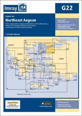
Imray’s series of charts of Greece and Turkey are comprehensive and easy-to-use sailing charts published on rip-proof, waterproof paper- ideal for use on small tables or in cockpits. They show detailed coastline and depth information, and are constantly corrected to reflect latest information. Designed primarily for yachtsmen, they are comprehensive without being unnecessarily cluttered.Each chart
M3 Islas Baleares
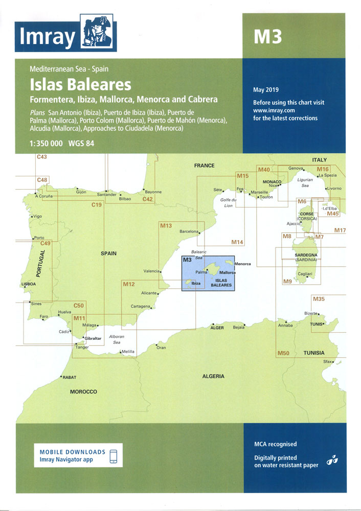
Plans: Puerto de Ibiza Puerto Colom (Mallorca) Puerto de Palma (Mallorca) Puerto de Mahon (Menorca) San Antonio Ciudadela (Menorca) Alcudia (Mallorca).
M22 Egypt to Israel, Lebanon and Cyprus
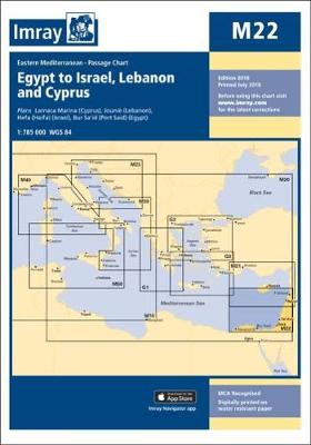
Imray’s series of charts of the Mediterranean are comprehensive and easy-to-use sailing charts published on rip-proof, waterproof paper- ideal for use on small tables or in cockpits. They show detailed coastline and depth information, and are constantly corrected to reflect latest information. Designed primarily for yachtsmen, they are comprehensive without being unnecessarily cluttered.Each chart contains
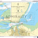
G23 Marmara Denizi
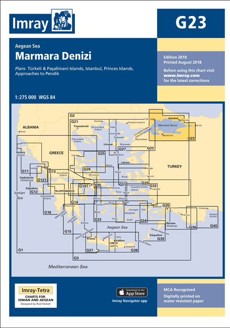
Imray’s series of charts of Greece and Turkey are comprehensive and easy-to-use sailing charts published on rip-proof, waterproof paper- ideal for use on small tables or in cockpits. They show detailed coastline and depth information, and are constantly corrected to reflect latest information. Designed primarily for yachtsmen, they are comprehensive without being unnecessarily cluttered.Each chart
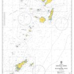
G15 Southern Peloponnese
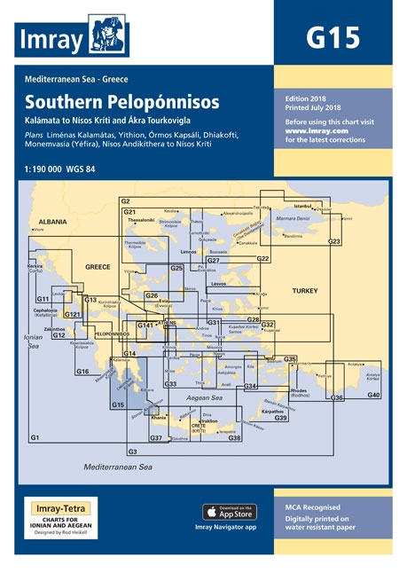
Imray’s series of charts of Greece and Turkey are comprehensive and easy-to-use sailing charts published on rip-proof, waterproof paper- ideal for use on small tables or in cockpits. They show detailed coastline and depth information, and are constantly corrected to reflect latest information. Designed primarily for yachtsmen, they are comprehensive without being unnecessarily cluttered.This chart
Florida Insight Travel Map
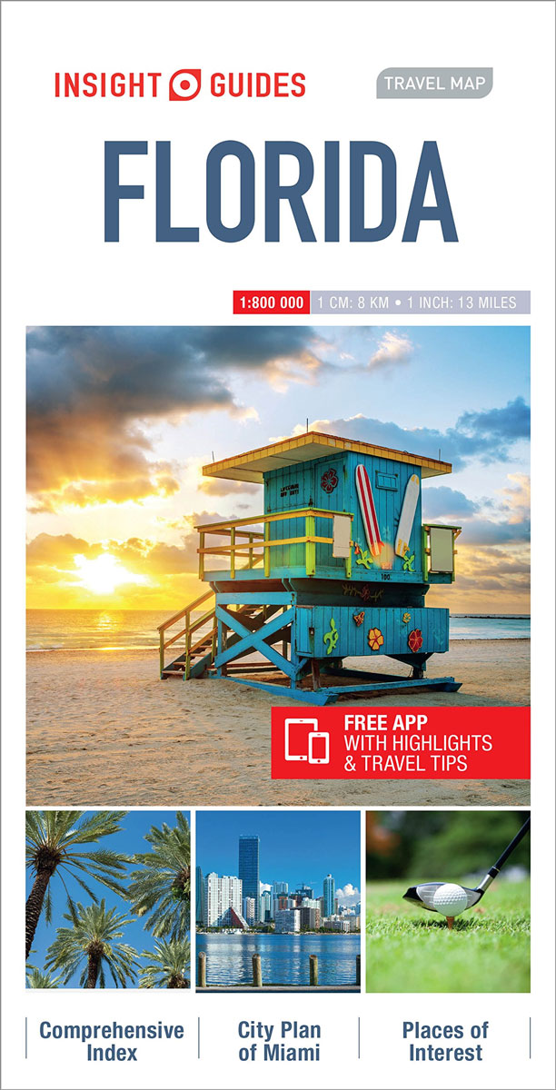
Insight Guides Travel Map: has a fold up map of the country ideal for planning routes or taking on holiday.This Florida Travel Map is drawn to a scale of 1:800,000 and shows the entire country complete with a comprehensive index. This is an ideal on-the-move companion when you`re exploring FloridaIt includes detailed street plan of
Germany Insight Travel Map
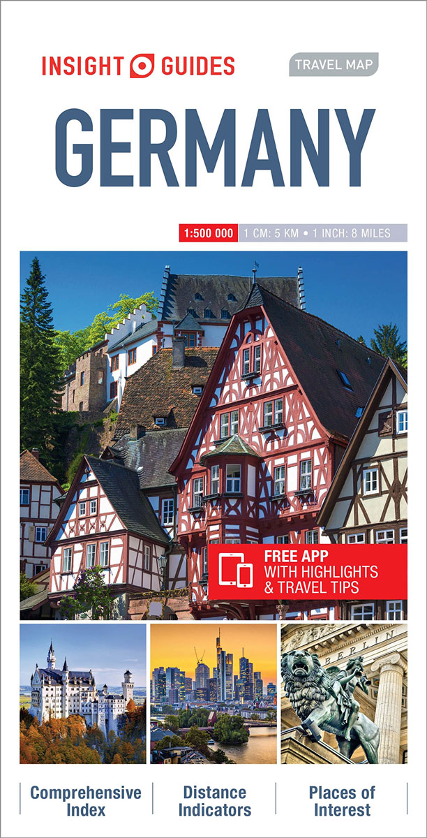
This Germany Travel Map is drawn to a scale of 1:500000 and shows the entire country complete with a comprehensive index. This is an ideal on-the-move companion when you`re exploring GermanyIt includes detailed street plans of major citiesOutlines Top Attractions and places of interestPictorial symbols for instant recognitionShows countries roads, rail networks and ferry routesIncludes
London Flexi Map
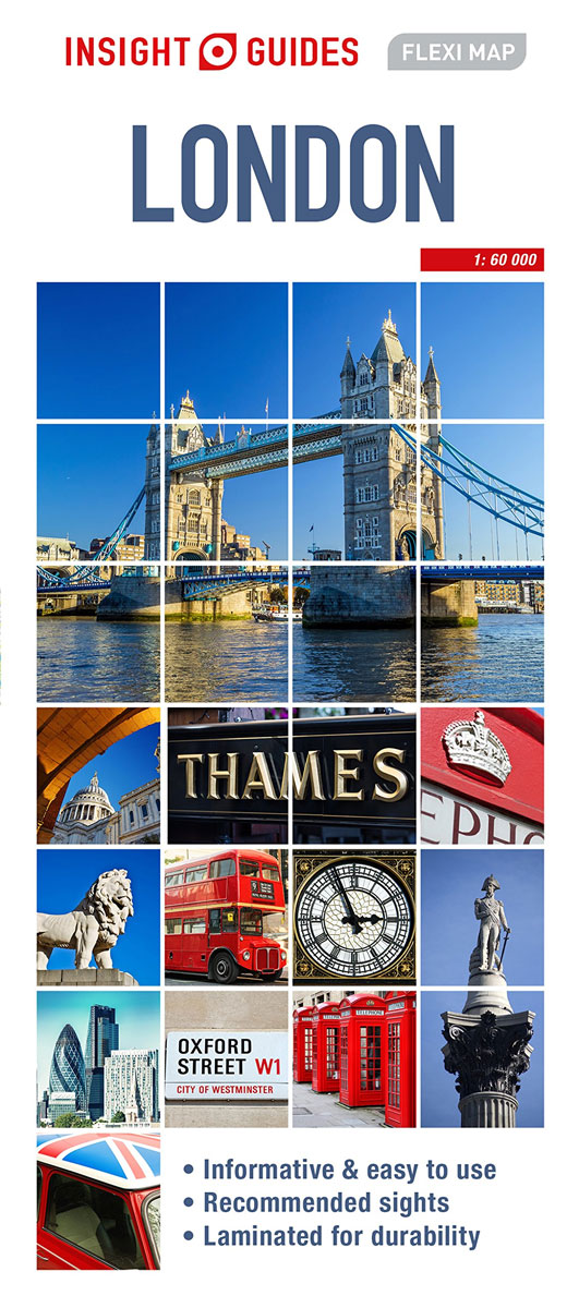
Flexi map London is laminated, durable and has its own index that has been categorised for ease of use.Inside Flexi Map London:- A list of recommended sights, divided by theme and linked to the mapping by numbered markers.- A handy information section with concise details on getting around, tourist offices, money, tipping, opening times, public
Bruges Flexi Map
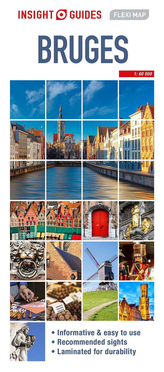
Flexi map Bruges is laminated, durable and has its own index that has been categorised for ease of use.Inside Flexi Map Bruges:- A list of recommended sights, divided by theme and linked to the mapping by numbered markers.- A handy information section with concise details on getting around, tourist offices, money, tipping, opening times, public
Dubrovnik Flexi Map
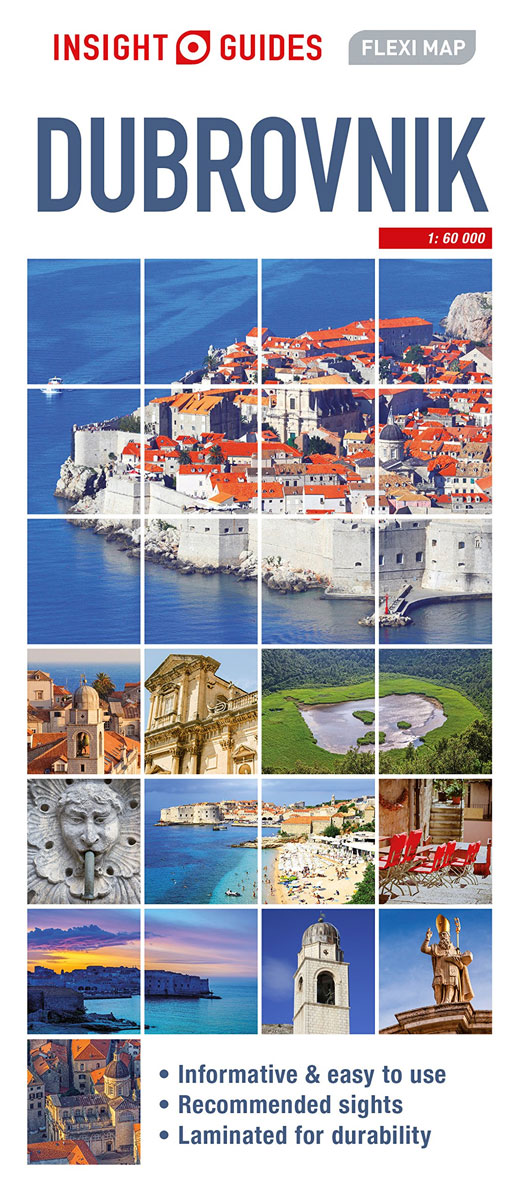
Flexi Map Dubrovnik is laminated, durable and has its own index that has been categorised for ease of use. Inside Flexi Map Dubrovnik:- A list of recommended sights, divided by theme and linked to the mapping by numbered markers.- A handy information section with concise details on getting around, tourist offices, money, tipping, opening times,
Sri Lanka Flexi Map
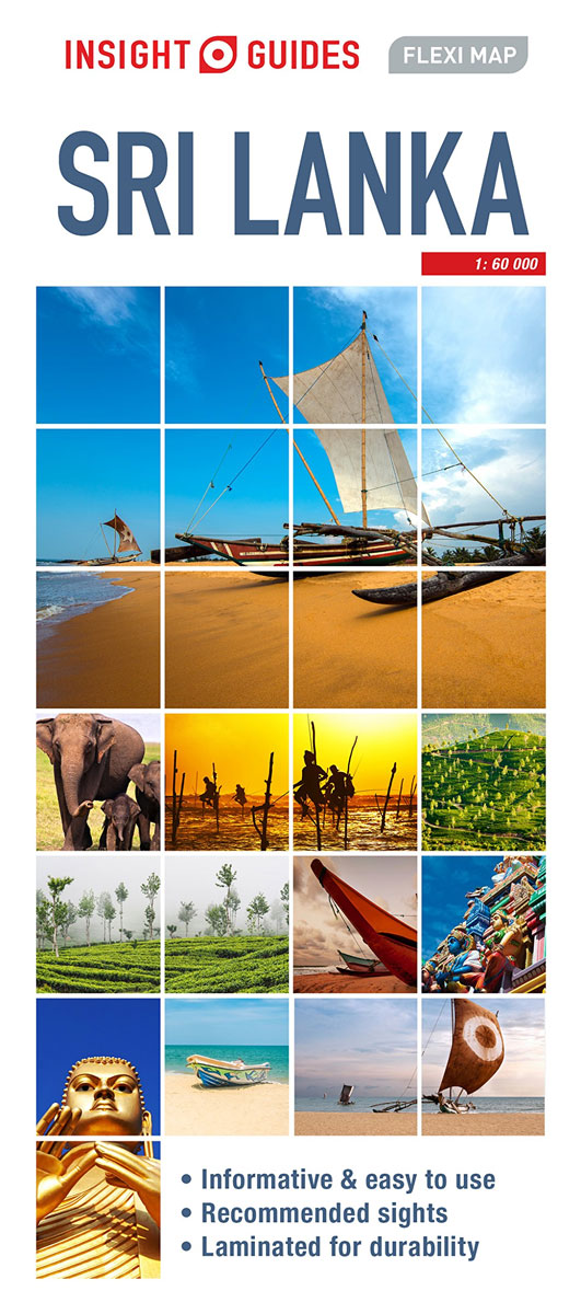
Flexi map Sri Lanka is laminated, durable and has its own index that has been categorised for ease of use.Inside Flexi Map Sri Lanka:- A list of recommended sights, divided by theme and linked to the mapping by numbered markers.- A handy information section with concise details on getting around, tourist offices, money, tipping, opening
Sydney Flexi Map
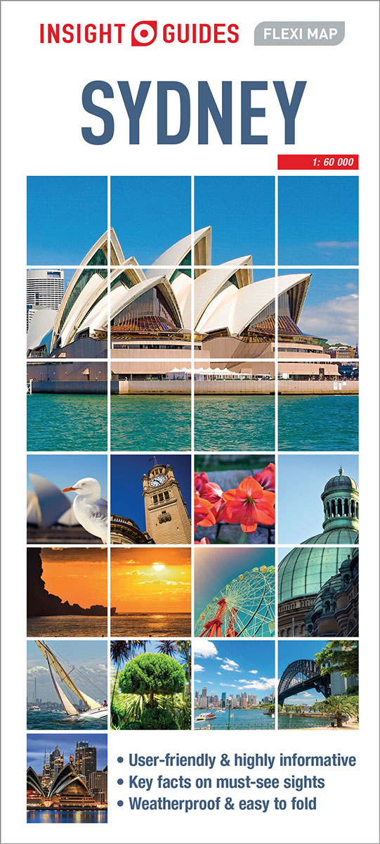
This easy to use, full-colour, water-proof map is all you need to navigate Sydney. It also includes handy destination detail on Sydney Environs, and tips on top attractions and getting around.ยท Combines clear, up-to-date cartography with destination detail, stylish design and stunning photography ยท Maps are drawn to scale with prominent public buildings, hotels and
Bali Flexi Map
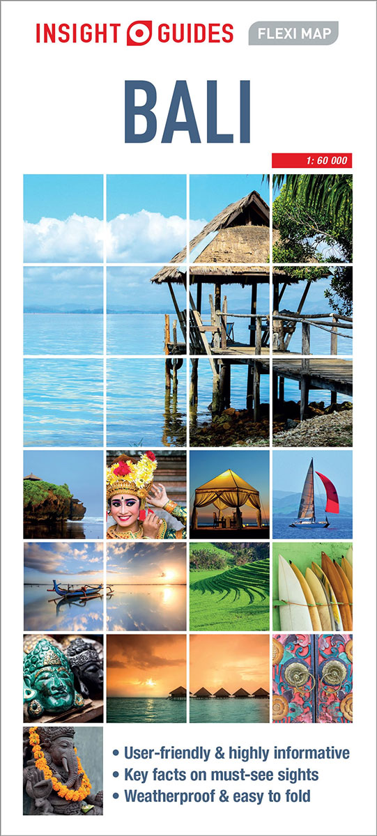
This easy to use, full-colour, water-proof map is all you need to navigate Bali. It also includes handy destination detail on Ubud and Sanur, and tips on top attractions and getting around.ยท Combines clear, up-to-date cartography with destination detail, stylish design and stunning photography ยท Maps are drawn to scale with prominent public buildings, hotels
Phuket Flexi Map
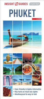
This easy to use, full-colour, water-proof map is all you need tonavigate Phuket. It also includes handy destination detail on Phuket and itsenvirons, and tips on top attractions and getting around.ยท Combines clear, up-to-date cartography with destinationdetail, stylish design and stunning photography ยท Maps are drawn to scale withprominent public buildings, hotels and other places
Paris Flexi Map
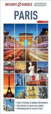
Insight Guides Flexi Map Paris:This easy to use, full-colour, water-proof map is all you need to navigate Paris. It also includes handy destination detail on Disney Land and Versailles and tips on top attractions and getting around.ยท Combines clear, up-to-date cartography with destination detail, stylish design and stunning photography ยท Maps are drawn to scale,
Netherlands Insight Travel Map
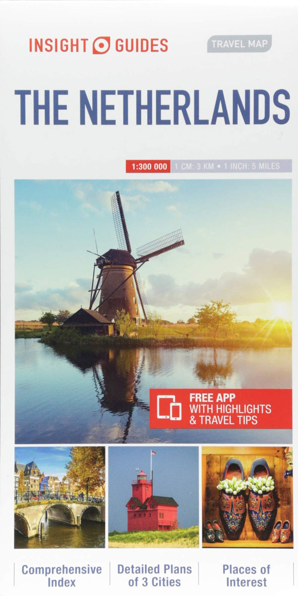
This detailed travel map is all you need to plan your route and navigate your way around The Netherlands, and also includes area highlights, top attractions, places of interest, streetplans, and a fabulous free app.ยท Travel Map The Netherlands is drawn to a scale of 1:300 000 and shows the entire country, complete with a
Italy Insight Travel Map
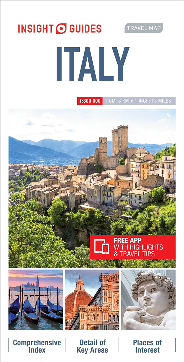
This detailed travel map is all you need to plan your route and navigate your way around Italy, and also includes area highlights, top attractions, places of interest, streetplans, and a fabulous free app.ยท Travel Map Italy is drawn to a scale of 1:800 000 and shows the entire country, complete with a comprehensive indexยท