Category Archives: Maps
M46 Isole Pontine to the Bay of Naples
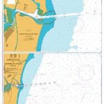
Plans included:Approaches to Ponza (1:10 000)Approaches to Porto d’Ischia (1:10 000)Approaches to Sorrento (1:30 000)Approaches to Marina Grande (Capri) (1:25 000)On this edition the chart specification has been improved to show coloured light flashes. Cables and pipelines across the chart have been updated. Marine Reserves have also been updated. There has been general updating throughout.
M10 Western Mediterranean – Gibraltar to the Ionian Sea
2019 edition with improved specification to show coloured light flashes and general updates troughout the chart.
G32 Eastern Sporades, Dodecanese & the Coast of Turkey
Imray’s series of charts of Greece and Turkey are comprehensive and easy-to-use sailing charts published on rip-proof, waterproof paper- ideal for use on small tables or in cockpits. They show detailed coastline and depth information, and are constantly corrected to reflect latest information. Designed primarily for yachtsmen, they are comprehensive without being unnecessarily cluttered.This chart
The River Nene
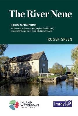
A map and guide to the River Nene from Peterborough (Dog-in-a-Doublet Lock) to Northampton, including the Grand Union Canal, Northampton Arm. Despite being listed as a map, the commentary, descriptions & essential notes are very comprehensive.
C54 Galway Bay to Donegal Bay
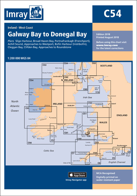
This Imray’s series of charts for the Western Europe includes comprehensive and easy-to-use sailing charts published on rip-proof, waterproof paper- ideal for use on small tables or in cockpits. They show detailed coastline and depth information, and are constantly corrected to reflect latest information. Designed primarily for yachtsmen, they are comprehensive without being unnecessarily cluttered.Each
G3 Aegean Sea (South)
Imray’s series of charts of Greece and Turkey are comprehensive and easy-to-use sailing charts published on rip-proof, waterproof paper- ideal for use on small tables or in cockpits. They show detailed coastline and depth information, and are constantly corrected to reflect latest information. Designed primarily for yachtsmen, they are comprehensive without being unnecessarily cluttered.This chart
C53 Donegal to Rathlin
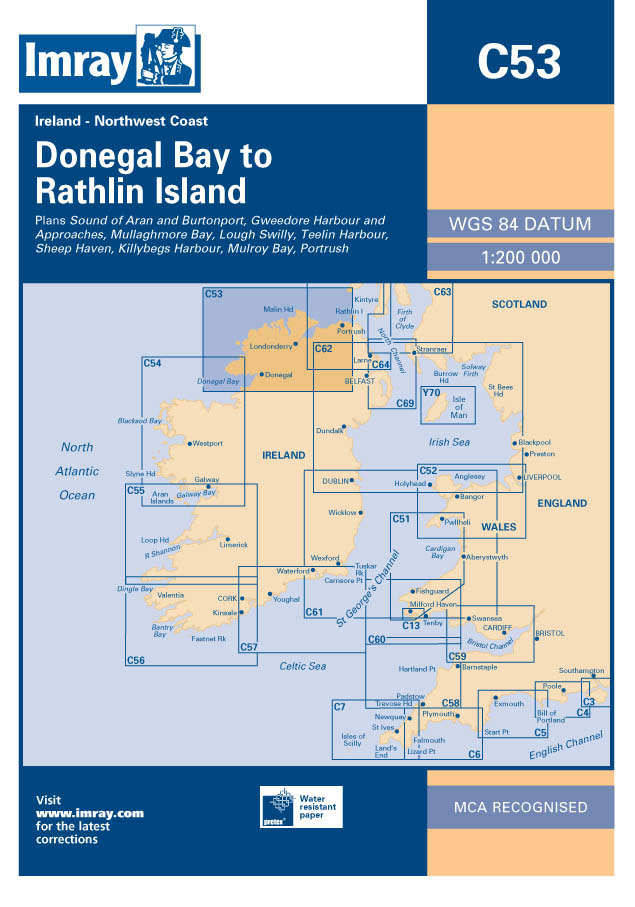
This Imray’s series of charts for the Western Europe includes comprehensive and easy-to-use sailing charts published on rip-proof, waterproof paper- ideal for use on small tables or in cockpits. They show detailed coastline and depth information, and are constantly corrected to reflect latest information. Designed primarily for yachtsmen, they are comprehensive without being unnecessarily cluttered.Each
M23 Adriatic Sea Passage Chart 2020
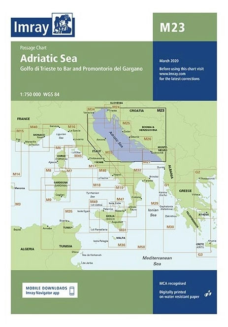
Imray’s series of charts of the Mediterranean are comprehensive and easy-to-use sailing charts published on rip-proof, waterproof paper- ideal for use on small tables or in cockpits. They show detailed coastline and depth information, and are constantly corrected to reflect latest information. Designed primarily for yachtsmen, they are comprehensive without being unnecessarily cluttered.This chart is
Switzerland Insight Travel Map

This detailed travel map is all you need to plan your route and navigate your way around Switzerland, and also includes area highlights, top attractions, places of interest, street plans, and a fabulous free app.ยท Travel Map Switzerland is drawn to a scale of 1:200 000 and shows the entire country, complete with a comprehensive
Poland Insight Travel Map
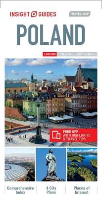
Insight Guides Travel Map PolandTravel made easy. Ask local experts.This detailed travel map is all you need to plan your route and navigate your way around Poland; also includes a comprehensive index and a fabulous free app.Features of this travel map to Poland:- Drawn to a scale of 1:800 000, showing the entire country, complete
G33 Southern Cyclades
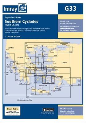
Imray’s series of charts of Greece and Turkey are comprehensive and easy-to-use sailing charts published on rip-proof, waterproof paper- ideal for use on small tables or in cockpits. They show detailed coastline and depth information, and are constantly corrected to reflect latest information. Designed primarily for yachtsmen, they are comprehensive without being unnecessarily cluttered.This chart
G28 Nisos Khios & the Coast of Turkey
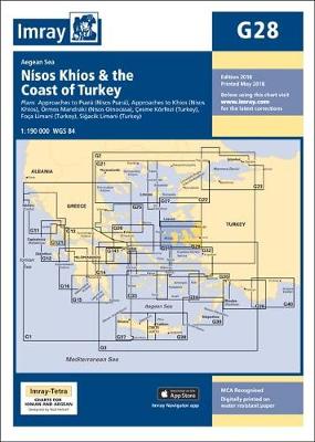
Plans included: Approaches to Psara (Nisos Psara) (1:15,000) Approaches to Khios (Nisos Khios) (1:20,000) Ormos Mandraki (Nisos Oinoussa) (1:8,000) Cesme Korfezi (Turkey) (1:18,000) Foca Limani (Turkey) (1:20,000) Sigacik Limani (Turkey) (1:18,000) On this 2013 edition full details of the new TSS schemes are shown at Izmir Korfezi, Candarli Korfezi and Nemrut Koyu; revised depths and
G22 Northeast Aegean Sea
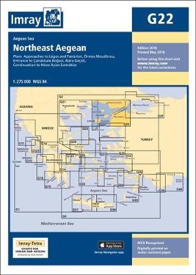
Imray’s series of charts of Greece and Turkey are comprehensive and easy-to-use sailing charts published on rip-proof, waterproof paper- ideal for use on small tables or in cockpits. They show detailed coastline and depth information, and are constantly corrected to reflect latest information. Designed primarily for yachtsmen, they are comprehensive without being unnecessarily cluttered.Each chart
M3 Islas Baleares
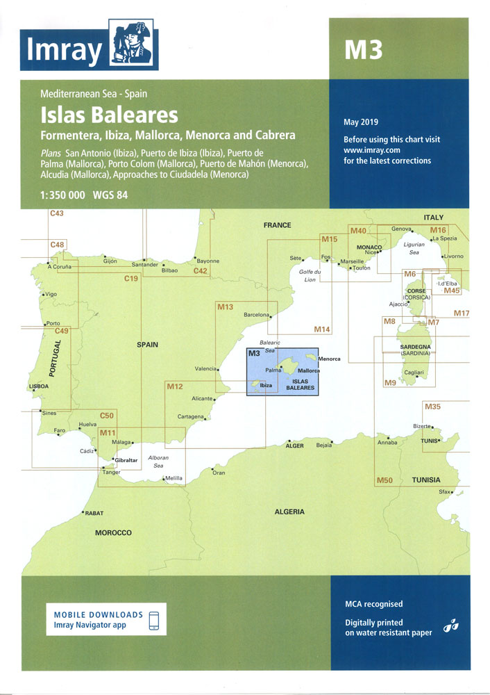
Plans: Puerto de Ibiza Puerto Colom (Mallorca) Puerto de Palma (Mallorca) Puerto de Mahon (Menorca) San Antonio Ciudadela (Menorca) Alcudia (Mallorca).
M22 Egypt to Israel, Lebanon and Cyprus
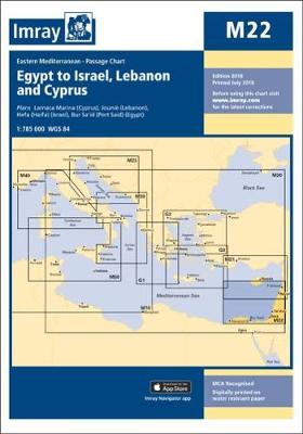
Imray’s series of charts of the Mediterranean are comprehensive and easy-to-use sailing charts published on rip-proof, waterproof paper- ideal for use on small tables or in cockpits. They show detailed coastline and depth information, and are constantly corrected to reflect latest information. Designed primarily for yachtsmen, they are comprehensive without being unnecessarily cluttered.Each chart contains
G23 Marmara Denizi
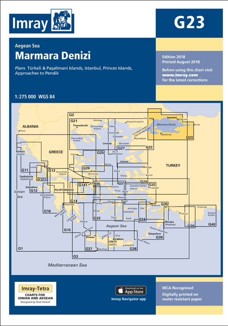
Imray’s series of charts of Greece and Turkey are comprehensive and easy-to-use sailing charts published on rip-proof, waterproof paper- ideal for use on small tables or in cockpits. They show detailed coastline and depth information, and are constantly corrected to reflect latest information. Designed primarily for yachtsmen, they are comprehensive without being unnecessarily cluttered.Each chart
G15 Southern Peloponnese
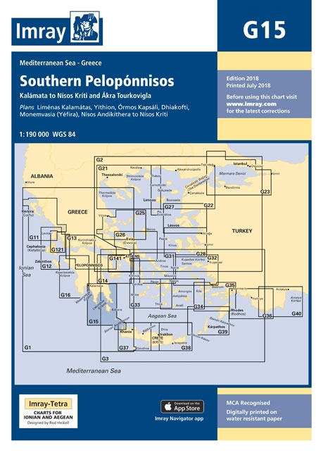
Imray’s series of charts of Greece and Turkey are comprehensive and easy-to-use sailing charts published on rip-proof, waterproof paper- ideal for use on small tables or in cockpits. They show detailed coastline and depth information, and are constantly corrected to reflect latest information. Designed primarily for yachtsmen, they are comprehensive without being unnecessarily cluttered.This chart
Guernsey Flexi Map
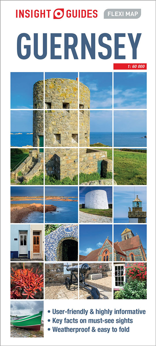
Insight Guides Flexi Map: has a weather-proof fold out map of the country with top attractions listed. Ideal for taking on holiday. This Guernsey Flexi Map is drawn to a scale of 1:28000 and shows the entire country complete with a comprehensive index. This is an ideal on-the-move companion when you`re exploring Guernsey It includes
G27 Nisos Lesvos & the Coast of Turkey
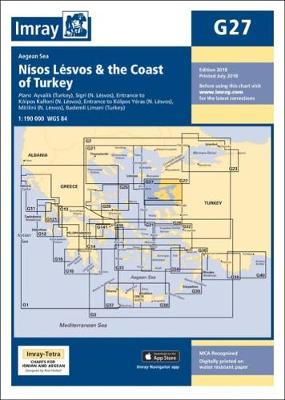
Imray’s series of charts of Greece and Turkey are comprehensive and easy-to-use sailing charts published on rip-proof, waterproof paper- ideal for use on small tables or in cockpits. They show detailed coastline and depth information, and are constantly corrected to reflect latest information. Designed primarily for yachtsmen, they are comprehensive without being unnecessarily cluttered.This chart
Copenhagen Flexi Map
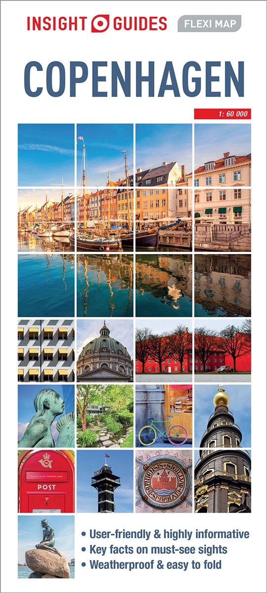
Insight Guides Flexi Map: has a weather-proof fold out map of the country with top attractions listed. Ideal for taking on holiday. This Copenhagen Flexi Map is drawn to a scale of 1:11000 and shows the entire city complete with a comprehensive index. This is an ideal on-the-move companion when you`re exploring Copenhagen It includes