Category Archives: Maps
Vietnam Lonely Planet Planning Map
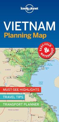
With an easy-fold, easy-to-use format, Lonely Planet Planning Maps are your conveniently sized passport to traveling with ease. Get more from your map and your trip with images and information about top country attractions, itinerary suggestions and themed lists.
C18 Western Approaches to the English Channel & Biscay
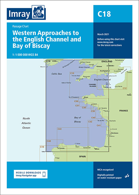
This Imray’s series of charts for the Western Europe includes comprehensive and easy-to-use sailing charts published on rip-proof, waterproof paper- ideal for use on small tables or in cockpits. They show detailed coastline and depth information, and are constantly corrected to reflect latest information. Designed primarily for yachtsmen, they are comprehensive without being unnecessarily cluttered.Each
India Lonely Planet Planning Map
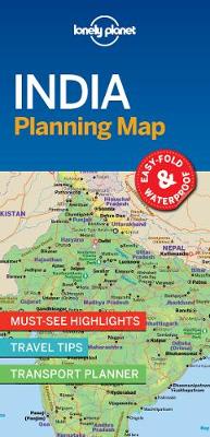
With an easy-fold, easy-to-use format, Lonely Planet Planning Maps are your conveniently sized passport to traveling with ease. Get more from your map and your trip with images and information about top country attractions, itinerary suggestions and themed lists.
C61 St George`s Channel
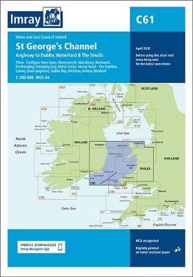
Plans included:Cardigan (1:40 000)New Quay (1:20 000)Aberystwyth (1:20 000)Aberdovey (1:50 000)Barmouth (1:30 000)Porthmadog (1:75 000)Tremadog Bay (1:75 000)Menai Strait (1:80 000)Menai Strait – The Swellies (1:25 000)Conwy (1:30 000)Dun Laoghaire (1:25 000)Dublin Bay (1:90 000)Wicklow (1:10 000)Arklow (1:15 000)Wexford (1:75 000)
Canada Lonely Planet Planning Map
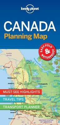
With an easy-fold, easy-to-use format, Lonely Planet Planning Maps are your conveniently sized passport to traveling with ease. Get more from your map and your trip with images and information about top country attractions, itinerary suggestions and themed lists.
European Waterways Map and Concise Directory 6th Edition
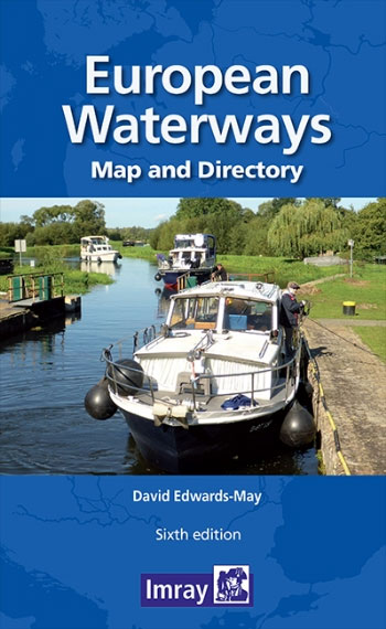
European Waterways Map and Concise Directory from Transmanche Publications offers a large folded map of Europe showing inland waterways, plus a 54-page directory with country-by country information, including enlargements of popular areas. The fold-out map is double-sided, at 1:4,000,000 on one side extending to the Urals and southern Scandinavia, with on the reverse western and
Seville Lonely Planet City Map
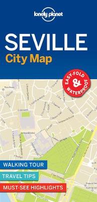
Lonely Planet: The world`s number one travel guide publisher*Durable and waterproof, with a handy slipcase and easy-fold format, Lonely Planet`s Seville City Map helps you get around with ease.Get more from your map and your trip with images and information about top city attractions, walking tour routes, transport maps, itinerary suggestions, extensive street and site
C20 Gibraltar to Acores and Islas Canarias
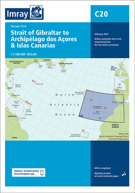
This Imray’s series of charts for the Western Europe includes comprehensive and easy-to-use sailing charts published on rip-proof, waterproof paper- ideal for use on small tables or in cockpits. They show detailed coastline and depth information, and are constantly corrected to reflect latest information. Designed primarily for yachtsmen, they are comprehensive without being unnecessarily cluttered.Each
G121 Inland Sea
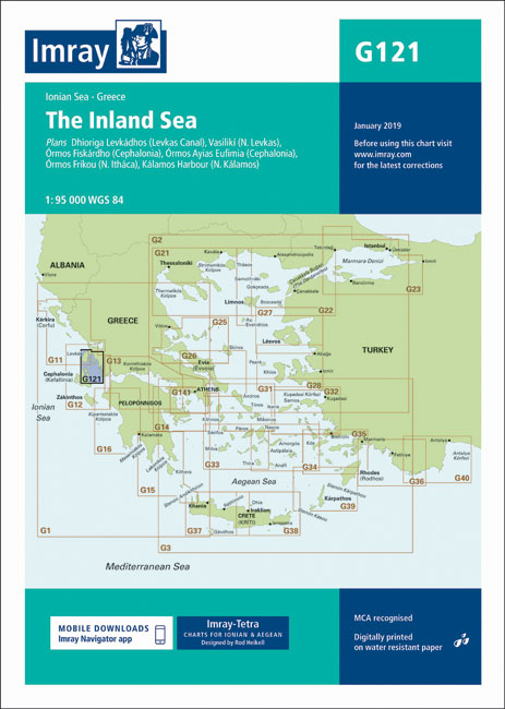
Imray’s series of charts of Greece and Turkey are comprehensive and easy-to-use sailing charts published on rip-proof, waterproof paper- ideal for use on small tables or in cockpits. They show detailed coastline and depth information, and are constantly corrected to reflect latest information. Designed primarily for yachtsmen, they are comprehensive without being unnecessarily cluttered.This chart
G31 Northern Cyclades
Imray’s series of charts of Greece and Turkey are comprehensive and easy-to-use sailing charts published on rip-proof, waterproof paper- ideal for use on small tables or in cockpits. They show detailed coastline and depth information, and are constantly corrected to reflect latest information. Designed primarily for yachtsmen, they are comprehensive without being unnecessarily cluttered.This chart
G16 Western Peloponnese
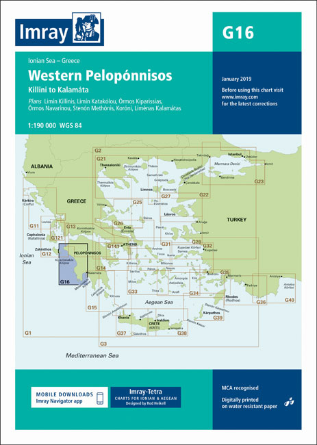
Imray’s series of charts of Greece and Turkey are comprehensive and easy-to-use sailing charts published on rip-proof, waterproof paper- ideal for use on small tables or in cockpits. They show detailed coastline and depth information, and are constantly corrected to reflect latest information. Designed primarily for yachtsmen, they are comprehensive without being unnecessarily cluttered. This
M19 Capo Palinuro to Punta Stilo
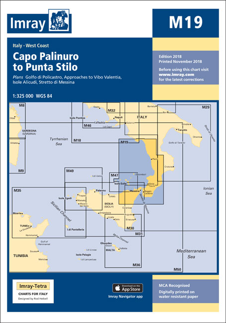
Imray’s series of charts of the Mediterranean are comprehensive and easy-to-use sailing charts published on rip-proof, waterproof paper- ideal for use on small tables or in cockpits. They show detailed coastline and depth information, and are constantly corrected to reflect latest information. Designed primarily for yachtsmen, they are comprehensive without being unnecessarily cluttered.Each chart contains
M11 Gibraltar to Cabo De Gata and Morocco
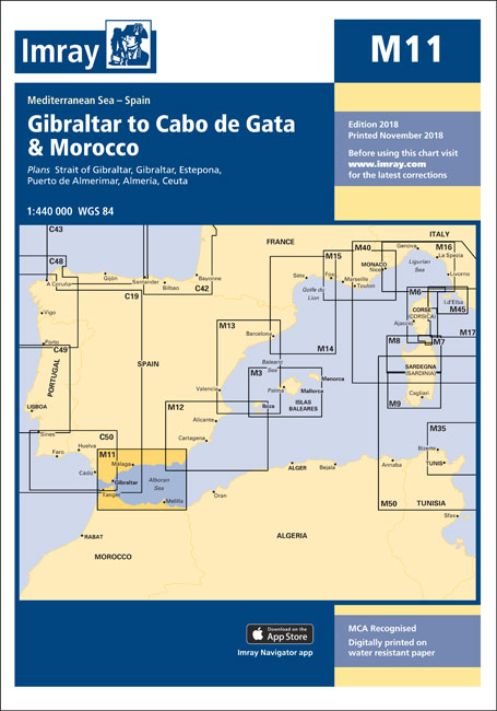
Plans: Strait of Gibraltar Gibraltar Estepona Puerto de Almerimar Almeria Ceuta Revised depths are shown around Ceuta, and various harbour developments are shown at Tanger-Mediterranee, Gibraltar (including La Alcaidesa marina) and Almeria.
M18 Capo d`Anzio to Capo Palinuro
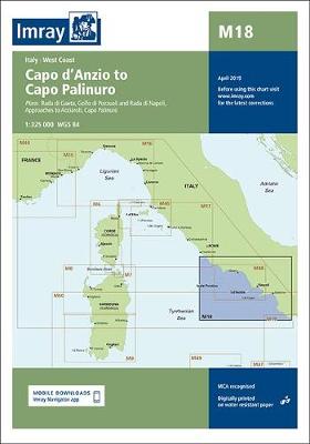
Plans included:Rada di Gaeta (1:35 000)Golfo di Pozzuoli and Rada di Napoli (1:65 000)Approaches to Acciaroli (sketch plan)Capo Palinuro (sketch plan)On this edition the chart specification has been improved to show coloured light flashes. Marine Reserves have been updated. Harbour developments and restricted areas have been updated within Rada di Napoli and Rada di Gaeta.
M46 Isole Pontine to the Bay of Naples
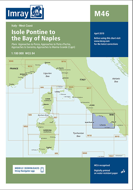
Plans included:Approaches to Ponza (1:10 000)Approaches to Porto d’Ischia (1:10 000)Approaches to Sorrento (1:30 000)Approaches to Marina Grande (Capri) (1:25 000)On this edition the chart specification has been improved to show coloured light flashes. Cables and pipelines across the chart have been updated. Marine Reserves have also been updated. There has been general updating throughout.
M10 Western Mediterranean – Gibraltar to the Ionian Sea
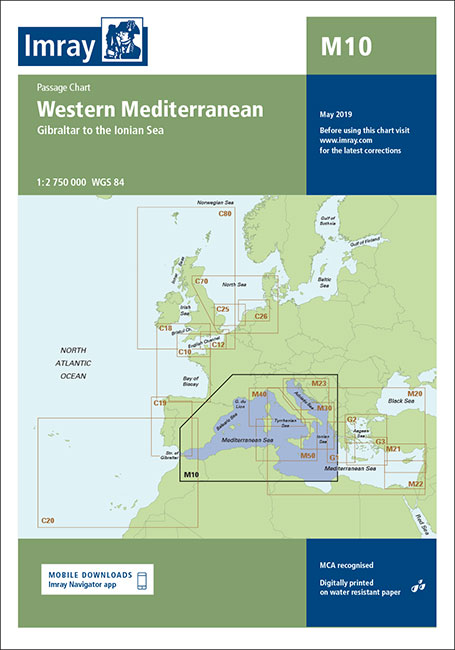
2019 edition with improved specification to show coloured light flashes and general updates troughout the chart.
G32 Eastern Sporades, Dodecanese & the Coast of Turkey
Imray’s series of charts of Greece and Turkey are comprehensive and easy-to-use sailing charts published on rip-proof, waterproof paper- ideal for use on small tables or in cockpits. They show detailed coastline and depth information, and are constantly corrected to reflect latest information. Designed primarily for yachtsmen, they are comprehensive without being unnecessarily cluttered.This chart
The River Nene
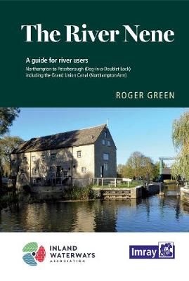
A map and guide to the River Nene from Peterborough (Dog-in-a-Doublet Lock) to Northampton, including the Grand Union Canal, Northampton Arm. Despite being listed as a map, the commentary, descriptions & essential notes are very comprehensive.
C54 Galway Bay to Donegal Bay
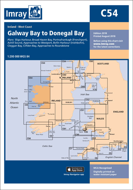
This Imray’s series of charts for the Western Europe includes comprehensive and easy-to-use sailing charts published on rip-proof, waterproof paper- ideal for use on small tables or in cockpits. They show detailed coastline and depth information, and are constantly corrected to reflect latest information. Designed primarily for yachtsmen, they are comprehensive without being unnecessarily cluttered.Each
G3 Aegean Sea (South)
Imray’s series of charts of Greece and Turkey are comprehensive and easy-to-use sailing charts published on rip-proof, waterproof paper- ideal for use on small tables or in cockpits. They show detailed coastline and depth information, and are constantly corrected to reflect latest information. Designed primarily for yachtsmen, they are comprehensive without being unnecessarily cluttered.This chart