Category Archives: Maps
Full Gas: How to Win a Bike Race – Tactics from Inside the Peloton
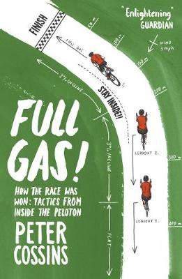
Riding as fast as you could for as long as you could was the main tactic in the early days of road racing when Grand Tours could be won by hours. Now a minute`s delay thanks to a puncture could ruin a rider`s chances over a three-week race and the sport is described as nothing
Lucky Cat

Its beckoning paw has a cult fanbase, but the lucky cat is more than just a cute ornament. The iconic creature is a symbol of good fortune and used as a powerful lucky charm in shops and homes across Japan, China and beyond. The lucky cat (or maneki neko in Japanese) has a long history
Bermondsey & Wapping 1914 – 77.3
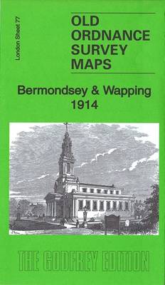
Bermondsey and Wapping in 1914 in a fascinating series of reproductions of old Ordnance Survey plans in the Alan Godfrey Editions, ideal for anyone interested in the history of their neighbourhood or family. Three versions cover the area stretching from London Bridge eastward to Southwark Park and southward to New Kent Road and Spa Road.
Mid Finchley 1934
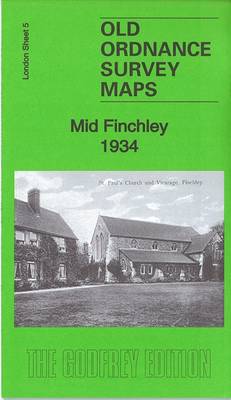
Mid Finchley in 1911 in a fascinating series of reproductions of old Ordnance Survey plans in the Alan Godfrey Editions, ideal for anyone interested in the history of their neighbourhood or family. Two versions have been published for this area, extending from Finchley station eastward to St Pancras & Islington Cemetery. Features include Great North
Bethnal Green & Bow 1894 – 52.2
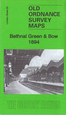
Bethnal Green and Bow in 1894 in a fascinating series of reproductions of old Ordnance Survey plans in the Alan Godfrey Editions, ideal for anyone interested in the history of their neighbourhood or family. Three versions of this map have been published, stretching from Cambridge Road eastward to Fairfield Road, and from Morpeth Road southward
Holborn, The City & The Strand 1873 – 62.1
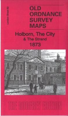
Holborn and the City in 1914 in a fascinating series of reproductions of old Ordnance Survey plans in the Alan Godfrey Editions, ideal for anyone interested in the history of their neighbourhood or family. Three versions cover an area stretching from the British Museum eastward to Guildhall, and from Clerkenwell Road southward to Waterloo Bridge.
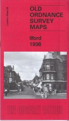
Ilford 1938
Lower Clapton in 1894 in a fascinating series of reproductions of old Ordnance Survey plans in the Alan Godfrey Editions, ideal for anyone interested in the history of their neighbourhood or family. Three versions cover the same area, stretching from Clarence Road and Lower Clapton Road eastward to Hackney Marsh and Leyton Marshes, with the
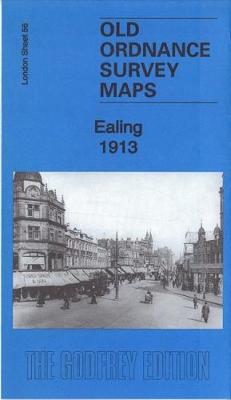
Ealing 1913
Hackney in 1870 in a fascinating series of reproductions of old Ordnance Survey plans in the Alan Godfrey Editions, ideal for anyone interested in the history of their neighbourhood or family. Three versions of this map have been published to show how the area developed across the years, stretching from Mare Street eastward to White
Vietnam Lonely Planet Planning Map
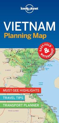
With an easy-fold, easy-to-use format, Lonely Planet Planning Maps are your conveniently sized passport to traveling with ease. Get more from your map and your trip with images and information about top country attractions, itinerary suggestions and themed lists.
C18 Western Approaches to the English Channel & Biscay
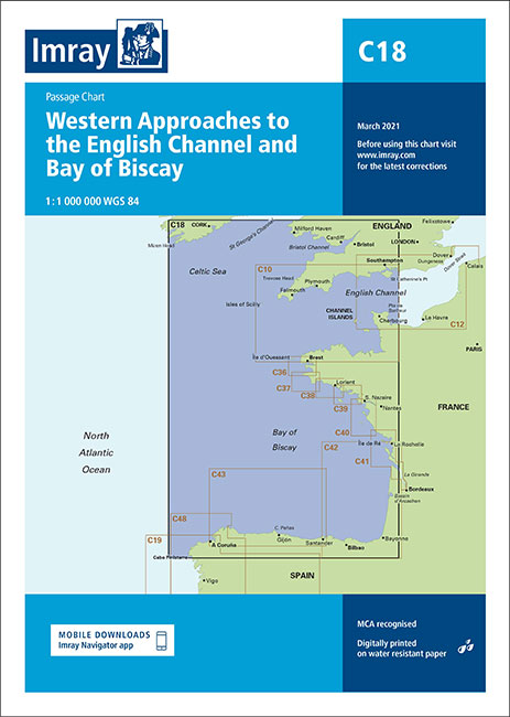
This Imray’s series of charts for the Western Europe includes comprehensive and easy-to-use sailing charts published on rip-proof, waterproof paper- ideal for use on small tables or in cockpits. They show detailed coastline and depth information, and are constantly corrected to reflect latest information. Designed primarily for yachtsmen, they are comprehensive without being unnecessarily cluttered.Each
India Lonely Planet Planning Map
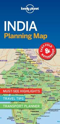
With an easy-fold, easy-to-use format, Lonely Planet Planning Maps are your conveniently sized passport to traveling with ease. Get more from your map and your trip with images and information about top country attractions, itinerary suggestions and themed lists.
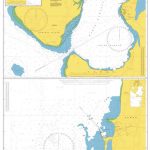
C61 St George`s Channel
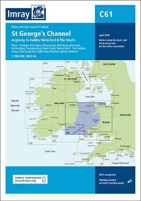
Plans included:Cardigan (1:40 000)New Quay (1:20 000)Aberystwyth (1:20 000)Aberdovey (1:50 000)Barmouth (1:30 000)Porthmadog (1:75 000)Tremadog Bay (1:75 000)Menai Strait (1:80 000)Menai Strait – The Swellies (1:25 000)Conwy (1:30 000)Dun Laoghaire (1:25 000)Dublin Bay (1:90 000)Wicklow (1:10 000)Arklow (1:15 000)Wexford (1:75 000)
Canada Lonely Planet Planning Map
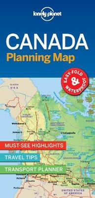
With an easy-fold, easy-to-use format, Lonely Planet Planning Maps are your conveniently sized passport to traveling with ease. Get more from your map and your trip with images and information about top country attractions, itinerary suggestions and themed lists.
European Waterways Map and Concise Directory 6th Edition
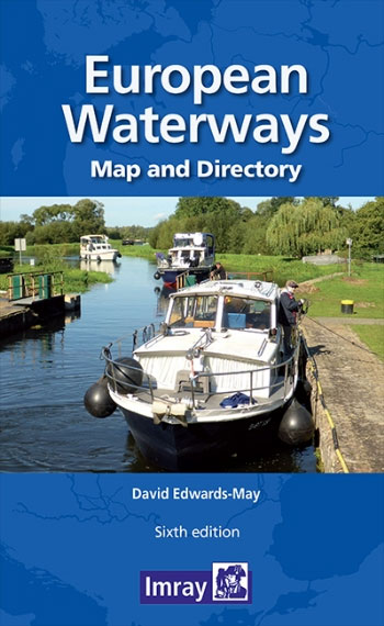
European Waterways Map and Concise Directory from Transmanche Publications offers a large folded map of Europe showing inland waterways, plus a 54-page directory with country-by country information, including enlargements of popular areas. The fold-out map is double-sided, at 1:4,000,000 on one side extending to the Urals and southern Scandinavia, with on the reverse western and
Seville Lonely Planet City Map
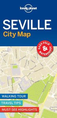
Lonely Planet: The world`s number one travel guide publisher*Durable and waterproof, with a handy slipcase and easy-fold format, Lonely Planet`s Seville City Map helps you get around with ease.Get more from your map and your trip with images and information about top city attractions, walking tour routes, transport maps, itinerary suggestions, extensive street and site
C20 Gibraltar to Acores and Islas Canarias
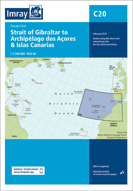
This Imray’s series of charts for the Western Europe includes comprehensive and easy-to-use sailing charts published on rip-proof, waterproof paper- ideal for use on small tables or in cockpits. They show detailed coastline and depth information, and are constantly corrected to reflect latest information. Designed primarily for yachtsmen, they are comprehensive without being unnecessarily cluttered.Each
M20 Eastern Mediterranean
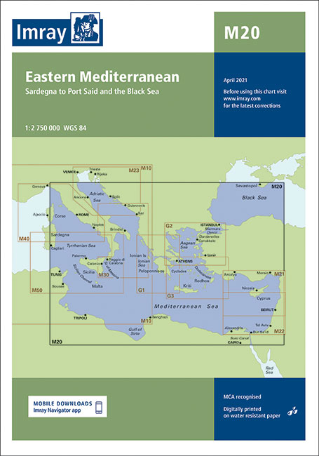
Imray’s series of charts of the Mediterranean are comprehensive and easy-to-use sailing charts published on rip-proof, waterproof paper- ideal for use on small tables or in cockpits. They show detailed coastline and depth information, and are constantly corrected to reflect latest information. Designed primarily for yachtsmen, they are comprehensive without being unnecessarily cluttered.Each chart contains
Bear Grylls Epic Adventures Series – Epic Flights

Ever wanted to be an adventurer like Bear Grylls?Get ready to take off and embark on some of the most epic flights in history.Soar over the Atlantic, travel around the entire world in a hot air balloon, and shoot off into space with the Apollo 11 mission. With stunning photography throughout, the book also includes
First Words – Japanese: 100 Japanese words to learn
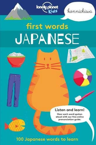
Bring the Japanese language to life with this beautifully illustrated children`s book from Lonely Planet Kids, an imprint of Lonely Planet, the world`s leading travel guide and phrasebook publisher. Perfect for the whole family, First Words Japanese features 100 words to use while travelling, from food and transport, to animals and weather.Each word is accompanied