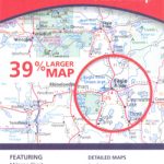
Category Archives: Maps
Hurst and North Ashton 1906

Hurst and North Ashton in 1906 in a fascinating series of reproductions of old Ordnance Survey plans in the Alan Godfrey Editions, ideal for anyone interested in the history of their neighbourhood or family. The map covers the northern part of Ashton-under-Lyne around Higher Hurst. Coverage stretches from Arlies Street at Ashton northward to the
South West Berkshire 1889
South West Berkshire in 1889 in a series of reproductions of Ordnance Survey’s famous “Inch to the Mile” maps published in the Alan Godfrey Editions to provide a historical record of England and Wales in the second half of 19th and early 20th century.In this title coverage stretches from Axford and Savernake House eastward to
Ipswich South-West 1902
Ipswich South-West in 1902 in a fascinating series of reproductions of old Ordnance Survey plans in the Alan Godfrey Editions, ideal for anyone interested in the history of their neighbourhood or family. Ipswich is covered by four maps. IPSWICH map covers much of the town centre, extending from Hanford Hall and Hanford Bridge eastward to
Plymouth Hoe 1892
Plymouth Hoe in 1892 in a fascinating series of reproductions of old Ordnance Survey plans in the Alan Godfrey Editions, ideal for anyone interested in the history of their neighbourhood or family. The map covers the southern part of Plymouth, stretching from Treville Street southward to Mount Batten Breakwater, and from Manor Street eastward to
Ayr 1909 – 33.06
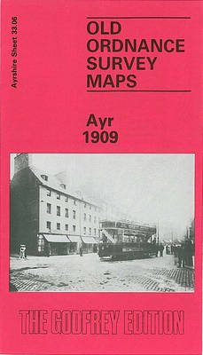
Ayr in 1909 in a fascinating series of reproductions of old Ordnance Survey plans in the Alan Godfrey Editions, ideal for anyone interested in the history of their neighbourhood or family. The map covers much of Ayr, including the town centre. Coverage stretches from the Esplanade eastward to Craigie House, and from Tryfield Place and
Blackwater and Chelmer 1886
Blackwater and Chelmer in 1886 in a series of reproductions of Ordnance Survey’s famous “Inch to the Mile” maps published in the Alan Godfrey Editions to provide a historical record of England and Wales in the second half of 19th and early 20th century.The map covers the area of west Essex from Chelmsford eastward to
Redruth 1906
Redruth in 1906 in a fascinating series of reproductions of old Ordnance Survey plans in the Alan Godfrey Editions, ideal for anyone interested in the history of their neighbourhood or family. The map covers most of the town centre and the area to the south, extending from Fore Street southward to Church Coombe. Features in
Norwich (North) 1905 – 63.11
Norwich North in 1905 in a fascinating series of reproductions of old Ordnance Survey plans in the Alan Godfrey Editions, ideal for anyone interested in the history of their neighbourhood or family. Norwich is covered by a block of three maps. NORWICH NORTH-WEST map is centred on the Dereham Road area, with suburbs stretching west
Norwich (South) 1905 – 63.15
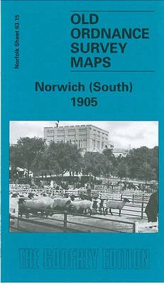
Norwich South in 1905 Norwich North-West in 1905 in a fascinating series of reproductions of old Ordnance Survey plans in the Alan Godfrey Editions, ideal for anyone interested in the history of their neighbourhood or family. Norwich is covered by a block of three maps. NORWICH NORTH-WEST map is centred on the Dereham Road area,
Holmfirth 1904
Holmfirth in 1904 in a fascinating series of reproductions of old Ordnance Survey plans in the Alan Godfrey Editions, ideal for anyone interested in the history of their neighbourhood or family. The map covers Holmfirth, famous today as the setting for much of `The Last of the Summer Wine`, with most of the village including
Upper Holloway 1869
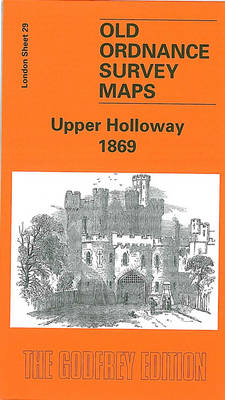
Upper Holloway in 1869 in a fascinating series of reproductions of old Ordnance Survey plans in the Alan Godfrey Editions, ideal for anyone interested in the history of their neighbourhood or family. Three versions cover this area, stretching from Holloway Prison eastward to Green Lanes and Highbury New Park, and from Finsbury Park station southward
Belfast Bloomfield 1902
Belfast Bloomfield in 1902 in a fascinating series of reproductions of old Ordnance Survey plans in the Alan Godfrey Editions, ideal for anyone interested in the history of their neighbourhood or family. The map covers parts of east Belfast, east of the Lagan. Coverage stretches from Conn`s Water and Belfast Rope Works eastward to Greenwood,
Mid Berkshire 1885
Mid Berkshire in 1885 in a series of reproductions of Ordnance Survey’s famous “Inch to the Mile” maps published in the Alan Godfrey Editions to provide a historical record of England and Wales in the second half of 19th and early 20th century.The map is centred on Reading, with coverage stretching from Hampstead Norris eastward
Belfast Knockdene Park 1902
Belfast Knockdene Park in 1902 in a fascinating series of reproductions of old Ordnance Survey plans in the Alan Godfrey Editions, ideal for anyone interested in the history of their neighbourhood or family. The map covers parts of east Belfast, east of the Lagan. Coverage stretches Knock Road and Hawthornden Road eastward to Ballyhanwood House.
Upper Edmonton 1894 – 3a

Upper Edmonton in 1894 in a fascinating series of reproductions of old Ordnance Survey plans in the Alan Godfrey Editions, ideal for anyone interested in the history of their neighbourhood or family. The map covers the south-western and central area of Edmonton, including Upper Edmonton, stretching from Weir Hall and Hedge Lane eastward to Brettenham
Tow Law 1897
Tow Law in 1897 in a fascinating series of reproductions of old Ordnance Survey plans in the Alan Godfrey Editions, ideal for anyone interested in the history of their neighbourhood or family. Tow Law stands over 1,000 feet up and developed in the mid 19th century with the growth of the Weardale Iron Co; the
Goodmayes and Seven Kings 1915
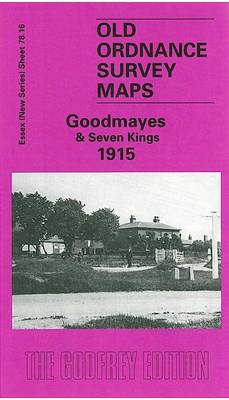
Goodmayes and Seven Kings in 1915 in a fascinating series of reproductions of old Ordnance Survey plans in the Alan Godfrey Editions, ideal for anyone interested in the history of their neighbourhood or family. Two versions have been published for this area to show how it developed across the years – the two maps are
Streatham Hill & Tulse Hill 1914 – 126.3
Streatham Hill and Tulse Hill in 1914 in a fascinating series of reproductions of old Ordnance Survey plans in the Alan Godfrey Editions, ideal for anyone interested in the history of their neighbourhood or family. Three versions cover this area, extending from Streatham Hill eastward to West Dulwich station, and from Brockwell Park southward to
Bristol (SW) & Bedminster 1902 – 75.04a
Bristol South West and Bedminster in 1902 in a fascinating series of reproductions of old Ordnance Survey plans in the Alan Godfrey Editions, ideal for anyone interested in the history of their neighbourhood or family. The map covers a very busy area of Bristol, including part of the city centre and much of Bedminster. Coverage