Category Archives: Maps
Montevideo
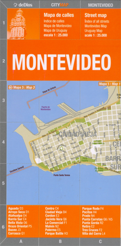
Montevideo in a series of light, laminated and waterproof concertina street plans of Latin American capitals, designed to present each city’s most visited areas. The plans are indexed and include diagrams of metro networks.The plan of Montevideo at 1:25,000 covers the central part of the city from the Old Town to Carrasco, with insets extending
Santiago de Chile de Dios CityMap

Santiago in a series of light, laminated and waterproof concertina street plans of Latin American capitals, designed to present each city’s most visited areas. The plans are indexed and include diagrams of metro networks.The plan of Santiago at 1:18,000 covers the central part of the city from the Quinta Normal museum complex to Esquela Militar
Jujuy and Salta Provinces
One of the titles in a series of indexed provincial road maps with somewhat old-fashioned and cluttered cartography from the Automรณvil Club Argentino. Road network indicates ACA’s services and petrol stations, as well as campsites approved by the Club. Symbols highlight places of interest, resorts, etc. Each title also includes street plans of main towns
Sรฃo Paulo de Dios CityMap
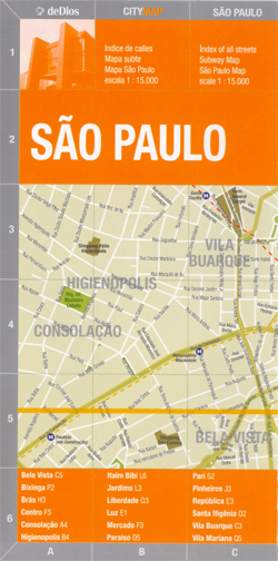
Sรฃo Paulo CityMap in a series of light, laminated and waterproof concertina street plans of Latin American capitals and main cities from the Buenos Aires ‘“based de Dios, designed to present each city’s most visited areas. The plans are indexed and include diagrams of metro networks.The plan of Sรฃo Paulo is at 1:15,000 presents the
Argentina ACA Regional Zone 6 – Region Buenos Aires
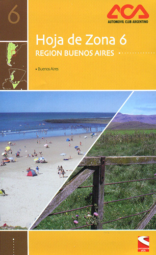
Argentina Zone 6: Region Buenos Aires in a series of clear touring maps at 1:1,000,000 from the Automรณvil Club Argentino. The main map includes an enlargement for environs of Buenos Aires and on the reverse there are street plans of Bahรญa Blanca, Mar del Plata and La Plata, each with an enlargement for the city
Peninsula Valdes de Dios Regional Map
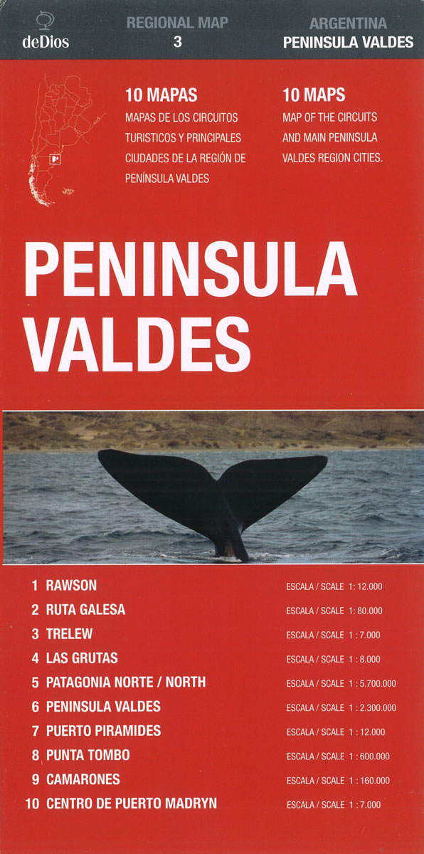
Peninsula Valdes in a series of handy format, light, laminated and waterproof concertina maps of Argentina’s popular regions and routes from De Dios, presenting a selection of tourist road maps, street plans and trekking suggestions. The road maps in these titles do not aim to provide a detailed picture of the region’s road network, but
Argentina ACA Regional Zone 4 – Region Centro
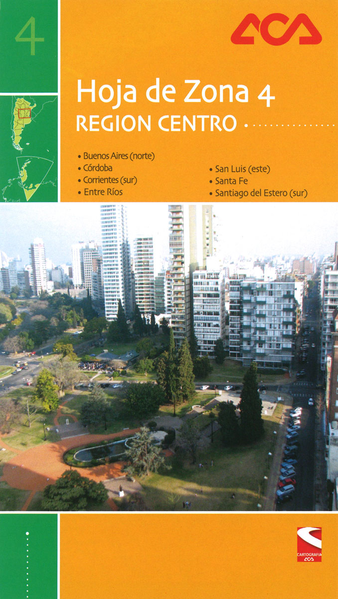
Argentina Zone 4: Region Centro, covering the province of Cรณrdoba, Entre Rรญos, Santa Fe and parts of Buenos Aires, Corrientes, San Luis and Santiago del Estero, in a series of clear touring maps at 1:1,000,000 from the Automรณvil Club Argentino. on the reverse are street plans of central Cordoba, Rosario, Santa Fe, Parana, Rio Cuarto,
Argentina ACA Regional Zone 8 – Patagonia Central

Argentina Zone 8: Central Patagonia, covering the province of Chubut and the northern part of Santa Cruz, in a series of clear touring maps at 1:1,000,000 from the Automรณvil Club Argentino. On the reverse are street plans of Rawson, Trelew, Caleta Olivia, Puerto Deseado, Comodoro Rivadavia, Esquel and Puerto Madryn; plus enlargements of the parks
Argentina ACA Regional Zone 7 – Patagonia North
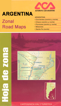
Argentina Zone 7: Northern Patagonia (provinces of La Pampa, Neuquรฉn and Rรญo Negro) in a series of clear touring maps at 1:1,000,000 from the Automรณvil Club Argentino, with street plans of local towns and enlargements for popular areas. Coverage starts just north of Santa Rosa and extends southwards to El Bolsรณn in the Andes. A
Argentina ACA Regional Zone 3 – Region Litoral

Argentina Zone 3: Region Litoral, including the Iguazรบ Falls and covering the province of Missiones and parts of Chaco, Corrientes, Formosa and Santa Fe, in a series of clear touring maps at 1:1,000,000 from the Automรณvil Club Argentino. On the reverse there are street plans of Resistencia, Corrientes, Puerto Iguazรบ, Formosa, Posadas, Eldorado, Paso de
Argentina ACA Regional Zone 5 – Region Cuyo (incl. Aconcagua – Mendoza – San Luรญs)
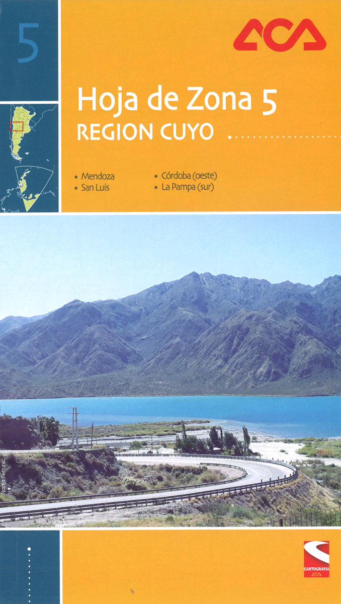
Argentina Zone 5: Region Cuyo, including Aconcagua and covering the province of Mendoza and San Luรญs, in a series of clear touring maps at 1:1,000,000 from the Automรณvil Club Argentino. On the reverse are street plans of Mendoza, San Raphael, San Luรญs, Villa de Merlo and Villa Mercedes, a plan of the main routes in
Rio de Janeiro de Dios Map-Guide
Rio de Janeiro Map/Guide from de Dios presenting the city’s central districts on a light, waterproof and tear-resistant street plan with descriptions of top 100 not-to-be-missed attractions, etc, plus very extensive tourist tips, including recommendations how to spend two days in the city, etc.On one side is a street plan of Rio’s extending from the
Bahia de Dios Map-Guide
The coastal area of the Bahia state of Brazil on a tourist map from the Buenos Aires based publishers de Dios, with highlighting for 100 recommended locations, color-coded into towns, charming villages, natural sites, tourist circuits, spas and historic sites. Several of the recommended sites are within the Chapada Diamantina region laying further inland but
Indelible City

The city is a place laced with the material and the immaterial, the visible and invisible. There are the migratory lines trod by our ancestors, the scent of our foodways, the flight of birds, the sigh of an old school, a demolished rooftop, an unassuming lamppost, fading tongues, empty chairs, extroverted harbours. These are the
Ruta 40 de Dios
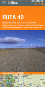
Ruta 40, Argentina’s longest road running from the Bolivian border along the Andes to Cabo Virgenes (Cape Virgins) on the Atlantic side of the Magellan Straights presented by the Buenos Aires based de Dios on a tourist map highlighting 100 places of interest, each one cross-referenced to a brief description in Spanish.The route is presented
Buddhist Temples of Thailand: A visual journey through Thailand`s 42 most historic wats
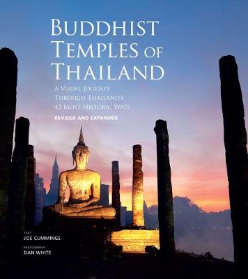
Buddhist Temples of Thailand explores the Buddhist temple`s historical position in Thai culture and the dynamic role it continues to play in everyday life. The kingdom`s best-known sites and rare gems, such as Wat Phra Kaew in Bangkok and Wat Phumin in Nan, are brought to life through expert text and more than 200 commissioned
Santiago de Dios Map-Guide
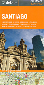
Central districts of Santiago on a street plan highlighting 102 recommended attractions, colour-coded into best sights, restaurants, entertainment and shopping, all accompanied by brief descriptions, plus suggestions for a 48 hours visit to the city and other tourist information. On one side is a street plan of Santiago’s central districts, highlighting locations of the publishers’
Ukraine South
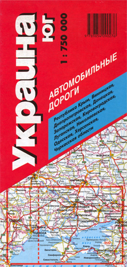
Double-sided, indexed road map of Southern Ukraine at 1:750,000 from Trivium with all names in Cyrillic alphabet only. Small villages are shown, with symbols denoting general population densities for every town, city, and village shown on the map. The major road network is displyed with carriage and unsurfaced roads, with road distances shown in kilometres.
South America de Dios Map-Guide
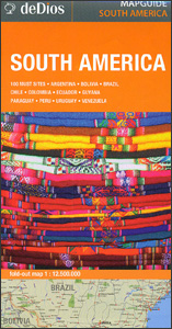
An overview map of South America from de Dios, designed to highlight locations of the continent’s 100 best sights, all listed on the reverse with brief descriptions. On one side is a very general, indexed map showing the network of main roads, ports and airports, as well as main national parks and other protected areas.


