Category Archives: Maps
Upper Exe Valley 1907
Upper Exe Valley in 1907 in a series of reproductions of Ordnance Survey’s famous “Inch to the Mile” maps published in the Alan Godfrey Editions to provide a historical record of England and Wales in the second half of 19th and early 20th century.The map covers an area of north-eastern Devon centred on Tiverton, stretching
Moss Valley and Gwersyllt 1909

Moss Valley and Gwersyllt in 1909 in a fascinating series of reproductions of old Ordnance Survey plans in the Alan Godfrey Editions, ideal for anyone interested in the history of their neighbourhood or family. The map covers a busy area north of Wrexham. Coverage stretches from Pentre eastward to Fishpond Wood, and from Summer Hill
Birmingham West 1914
Birmingham West in 1914 in a fascinating series of reproductions of old Ordnance Survey plans in the Alan Godfrey Editions, ideal for anyone interested in the history of their neighbourhood or family. Two versions have been published for this area. Coverage stretches from Rotton Park Reservoir eastward to Bingley Hall and King Alfred`s Place, and
Pwllheli 1914
Pwllheli in 1914 in a fascinating series of reproductions of old Ordnance Survey plans in the Alan Godfrey Editions, ideal for anyone interested in the history of their neighbourhood or family. The map is double-sided. The main map shows the town, extending eastward to Nant Stigallt Reservoir and southward to Pen-Rhyd-Lyniog. Features include the town
Alton and District 1893
Alton and District in 1893 in a series of reproductions of Ordnance Survey’s famous “Inch to the Mile” maps published in the Alan Godfrey Editions to provide a historical record of England and Wales in the second half of 19th and early 20th century.Coverage stretches from Itchen Abbas eastward to Kingsley and Woolmer Forest, and
Rotherhithe 1868 – 78.1
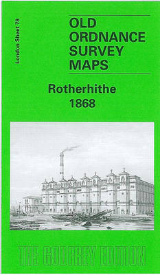
Rotherhithe in 1868 in a fascinating series of reproductions of old Ordnance Survey plans in the Alan Godfrey Editions, ideal for anyone interested in the history of their neighbourhood or family. Three versions of this map have been published to show how the area developed across the years, stretching from Lower Road and Thames Tunnel
Stratford 1867 – 42.1
Stratford in 1867 in a fascinating series of reproductions of old Ordnance Survey plans in the Alan Godfrey Editions, ideal for anyone interested in the history of their neighbourhood or family. Three versions of this map cover the same area, stretching from Hackney Cut Navigation and the River Lea eastward to Romford Road and Carnarvon
Romiley 1897
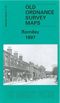
Romiley in 1897 in a fascinating series of reproductions of old Ordnance Survey plans in the Alan Godfrey Editions, ideal for anyone interested in the history of their neighbourhood or family. The map covers most of the village of Romiley, just east of Stockport. Coverage stretches from Bredbury House and Harrytown Lane eastward to Birchvale
Vale of White Horse 1893
Vale of White Horse in 1893 in a series of reproductions of Ordnance Survey’s famous “Inch to the Mile” maps published in the Alan Godfrey Editions to provide a historical record of England and Wales in the second half of 19th and early 20th century.The map is centred on Wantage, stretching from Shrivenham eastward to
Montgomery and District 1908
Montgomery/ Trefaldwyn and District in 1908 in a series of reproductions of Ordnance Survey’s famous “Inch to the Mile” maps published in the Alan Godfrey Editions to provide a historical record of England and Wales in the second half of 19th and early 20th century.The map covers a border area divided between Montgomeryshire and Shropshire,
Melton Mowbray & District 1912 – 142
Melton Mowbray and District in 1912 in a series of reproductions of Ordnance Survey’s famous “Inch to the Mile” maps published in the Alan Godfrey Editions to provide a historical record of England and Wales in the second half of 19th and early 20th century.Two versions have been published for this area, with coverage stretching
Handsworth 1913
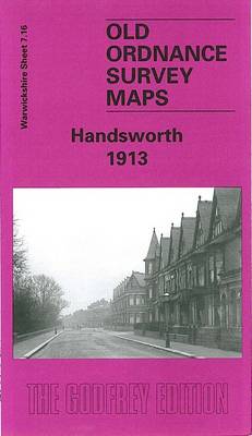
Handsworth in 1913 in a fascinating series of reproductions of old Ordnance Survey plans in the Alan Godfrey Editions, ideal for anyone interested in the history of their neighbourhood or family. The map covers much of Handsworth, on the north side of Birmingham. Coverage stretches from Regent Road and Alexandra Road eastward to Crompton Road,
Peckham 1894 – 103.2
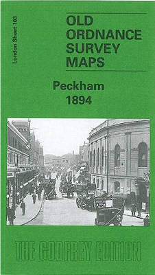
Peckham in 1894 in a fascinating series of reproductions of old Ordnance Survey plans in the Alan Godfrey Editions, ideal for anyone interested in the history of their neighbourhood or family. Three versions for this area have been published, stretching from Denmark Hill station eastward to Queen`s Road station and Asylum Road; and from Rosemary
Brymbo 1909
Brymbo in 1909 in a fascinating series of reproductions of old Ordnance Survey plans in the Alan Godfrey Editions, ideal for anyone interested in the history of their neighbourhood or family. Tthe map covers the industrial village of Brymbo, just north-west of Wrexham. Brymbo Hall is near the centre of the map and coverage stretches
Brockley & Honor Oak 1914 – 118.3
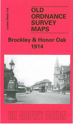
Brockley and Honor Oak in 1914 in a fascinating series of reproductions of old Ordnance Survey plans in the Alan Godfrey Editions, ideal for anyone interested in the history of their neighbourhood or family. Three versions for this area have been published, stretching from Homestall Road and Ryehill Park eastward to Chudleigh Road and Hilly
Putney Bridge & Fulham 1913 – 99.3
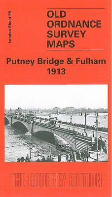
Putney Bridge and Fulham in 1913 in a fascinating series of reproductions of old Ordnance Survey plans in the Alan Godfrey Editions, ideal for anyone interested in the history of their neighbourhood or family. Three versions for this area have been published to show how it developed across the years. The maps each cover the
Burnopfield and The Leazes 1895
Burnopfield and The Leazes in 1895 in a fascinating series of reproductions of old Ordnance Survey plans in the Alan Godfrey Editions, ideal for anyone interested in the history of their neighbourhood or family. The map covers the village of Burnopfield, which stands on a shelf above the River Derwent, about 7 miles south-west of
Greenwich 1894
Greenwich and the Isle of Dogs in 1894 in a fascinating series of reproductions of old Ordnance Survey plans in the Alan Godfrey Editions, ideal for anyone interested in the history of their neighbourhood or family. Three versions have been published for this area, stretching from Deptford Creek eastward to Annandale Road and Selcroft Road,