Category Archives: Maps
The Medway Towns 1893
The Medway Towns in 1893 in a series of reproductions of Ordnance Survey’s famous “Inch to the Mile” maps published in the Alan Godfrey Editions to provide a historical record of England and Wales in the second half of 19th and early 20th century.The map covers the area of north Kent from the Medway towns
Dartmoor 1908
Dartmoor in 1908 in a series of reproductions of Ordnance Survey’s famous “Inch to the Mile” maps published in the Alan Godfrey Editions to provide a historical record of England and Wales in the second half of 19th and early 20th century.Voverage stretches from Marytavy and Whitchurch eastwards to Ashburton, and from Lydford southwards to
Nottingham North 1913

Nottingham North in 1913 in a fascinating series of reproductions of old Ordnance Survey plans in the Alan Godfrey Editions, ideal for anyone interested in the history of their neighbourhood or family. The map covers the north part of Nottingham, including the Carrington area, much of Mapperley and Alexandra Park. Coverage stretches from Exeter Road
Church Stretton and Wenlock Edge 1906
Church Stretton and Wenlock Edge in 1906 in a series of reproductions of Ordnance Survey’s famous “Inch to the Mile” maps published in the Alan Godfrey Editions to provide a historical record of England and Wales in the second half of 19th and early 20th century.In this title coverage stretches from Ratlinghope and the Longmynd
Liverpool Hanover Street 1864
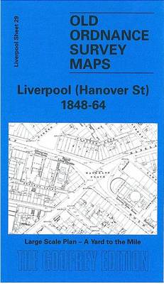
Hannover Street area of Liverpool in 1864 in a series of exceptionally detailed reproductions of old Ordnance Survey street plans for areas of larger cities which have undergone substantial redevelopment in the late 19th or the early 20th century, published in the Alan Godfrey Editions.The plans, printed in back and white, have been taken from
Kirkby Lonsdale and District 1870
Kirkby Lonsdale and District in 1870 in a series of reproductions of Ordnance Survey’s famous “Inch to the Mile” maps published in the Alan Godfrey Editions to provide a historical record of England and Wales in the second half of 19th and early 20th century.The map covers southern Westmorland and smaller portions of Lancashire, stretching
Colwyn Bay North 1911
Colwyn Bay North in 1911 in a fascinating series of reproductions of old Ordnance Survey plans in the Alan Godfrey Editions, ideal for anyone interested in the history of their neighbourhood or family. The map is double-sided. The main map covers the northern part of Colwyn Bay, stretching from Penrhyn Road westward to Bryn Euryn
King`s Norton 1903
King’s Norton in 1903 in a fascinating series of reproductions of old Ordnance Survey plans in the Alan Godfrey Editions, ideal for anyone interested in the history of their neighbourhood or family. The map covers most of the village of King`s Norton and extends eastward to Walker`s Heath and Moundsley Hall. Features include Worcester &
Kensal Green & West Kilburn 1865 – 47.1
Kensal Green and West Kilburn in 1865 in a fascinating series of reproductions of old Ordnance Survey plans in the Alan Godfrey Editions, ideal for anyone interested in the history of their neighbourhood or family. Four versions of this map have been published, with Kensal Green on the west side, west Kilburn to the east,
East Radnorshire 1908
East Radnorshire in 1908 in a series of reproductions of Ordnance Survey’s famous “Inch to the Mile” maps published in the Alan Godfrey Editions to provide a historical record of England and Wales in the second half of 19th and early 20th century.In this title coverage stretches from Llanddewi-Ystradenni eastward to Bucknell and Kinsham, and
Great Yarmouth & District 1908 – 162
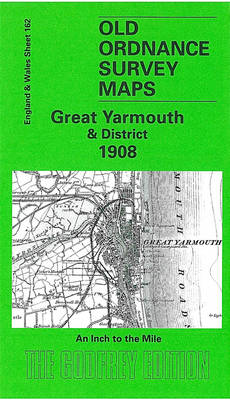
Great Yarmouth and District in 1908 in a series of reproductions of Ordnance Survey’s famous “Inch to the Mile” maps published in the Alan Godfrey Editions to provide a historical record of England and Wales in the second half of 19th and early 20th century.The map covers the eastern area of Norfolk around Acle, Loddon
Norfolk Broads 1908
Norfolk Broads in 1908 in a series of reproductions of Ordnance Survey’s famous “Inch to the Mile” maps published in the Alan Godfrey Editions to provide a historical record of England and Wales in the second half of 19th and early 20th century.In this title coverage stretches from North Walsham and Belaugh eastward to the
Paignton 1904
Paignton in 1904 in a fascinating series of reproductions of old Ordnance Survey plans in the Alan Godfrey Editions, ideal for anyone interested in the history of their neighbourhood or family. The map covers the heart of the Torbay town of Paignton, stretching from the coast inland to St Mary`s Hill and Primley Park, and
Colwyn Bay South East 1911
Colwyn Bay South East in 1911 in a fascinating series of reproductions of old Ordnance Survey plans in the Alan Godfrey Editions, ideal for anyone interested in the history of their neighbourhood or family. The map covers the village of Colwyn and the south-eastern area of Colwyn Bay. Coverage stretches from Rhiw Road eastward toMeiriadog
Colwyn Bay South West 1911
Colwyn Bay South West in 1911 in a fascinating series of reproductions of old Ordnance Survey plans in the Alan Godfrey Editions, ideal for anyone interested in the history of their neighbourhood or family. the map covers the south-western corner of Colwyn Bay, around Woodland Park and York Road. Coverage then extends south-west into the
Handsworth 1913
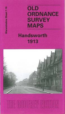
Handsworth in 1913 in a fascinating series of reproductions of old Ordnance Survey plans in the Alan Godfrey Editions, ideal for anyone interested in the history of their neighbourhood or family. The map covers much of Handsworth, on the north side of Birmingham. Coverage stretches from Regent Road and Alexandra Road eastward to Crompton Road,
Peckham 1894 – 103.2
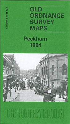
Peckham in 1894 in a fascinating series of reproductions of old Ordnance Survey plans in the Alan Godfrey Editions, ideal for anyone interested in the history of their neighbourhood or family. Three versions for this area have been published, stretching from Denmark Hill station eastward to Queen`s Road station and Asylum Road; and from Rosemary
Talwrn 1910
Talwrn in 1910 in a fascinating series of reproductions of old Ordnance Survey plans in the Alan Godfrey Editions, ideal for anyone interested in the history of their neighbourhood or family. The map covers the Talwrn area, south-west of Wrexham. Coverage stretches from Offa`s Dyke westward to Bronwlfa Wood. Features include the GWR Rhos Branch,
Cheadle and Cheadle Heath 1897
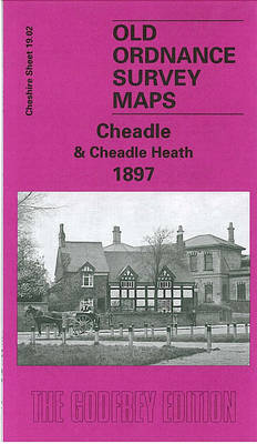
Cheadle and Cheadlle Heath in 1897 in a fascinating series of reproductions of old Ordnance Survey plans in the Alan Godfrey Editions, ideal for anyone interested in the history of their neighbourhood or family. The map covers the eastern part of Cheadle, extending from St Mary`s church and Cheadle station (both on margin of map)
Minera 1910
Minera in 1910 in a fascinating series of reproductions of old Ordnance Survey plans in the Alan Godfrey Editions, ideal for anyone interested in the history of their neighbourhood or family. The map covers the industrial village of Minera, just north-west of Wrexham. Features include the Minera Lead Mines, Pentre, St Mary`s church, part of