Category Archives: Maps
Highgate 1869 – 19.1
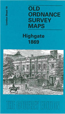
Highgate in 1869 in a fascinating series of reproductions of old Ordnance Survey plans in the Alan Godfrey Editions, ideal for anyone interested in the history of their neighbourhood or family. Three versions have been published for this area, stretching from Fitzroy Park eastward to Hazellville Road and from Shepherds Hill Road southward to Highgate
Sheffield 1921 – 294.08b

Sheffield Central in 1921 in a fascinating series of reproductions of old Ordnance Survey plans in the Alan Godfrey Editions, ideal for anyone interested in the history of their neighbourhood or family. Two versions have been published for this area. The map covers the heart of Sheffield, stretching from Tenter Street and Hawley Street eastward
Exeter and the Lower Exe Valley 1888
Exeter and the Lower Exe Valley 1888 in a series of reproductions of Ordnance Survey’s famous “Inch to the Mile” maps published in the Alan Godfrey Editions to provide a historical record of England and Wales in the second half of 19th and early 20th century.The map is centred on Exeter, stretching from Yeoford and
Horsham, Crawley and St Leonards`s Forest 1901
Horsham, Crawley and St Leonards`s Forest in 1901 in a series of reproductions of Ordnance Survey’s famous “Inch to the Mile” maps published in the Alan Godfrey Editions to provide a historical record of England and Wales in the second half of 19th and early 20th century.Coverage stretches from Slinfold eastward to the outskirts of
Chiswick 1867 – 85.1
Chiswick in 1867 in a fascinating series of reproductions of old Ordnance Survey plans in the Alan Godfrey Editions, ideal for anyone interested in the history of their neighbourhood or family. Three versions cover the area from Chiswick House and Christ Church (on Turnham Green) eastward to Hammersmith Bridge; and from High Road and King
Great Malvern and West Malvern 1926
Great Malvern and West Malvern in 1926 in a fascinating series of reproductions of old Ordnance Survey plans in the Alan Godfrey Editions, ideal for anyone interested in the history of their neighbourhood or family. The map covers the western part of Great Malvern, extending across North Hill and Sugarloaf Hill to West Malvern. Herefordshire
Ouistreham (Pegasus Bridge) 1944

Ouistreham (Pegasus Bridge) in a series of reproductions of the Bigot Plans prepared by the GSGS (Geographic Section General Staff) for the D-Day landings in Normandy in June 1944, showing German defences and other obstacles facing the invading Allied troops. The map is centred on the bridge that is now known as Pegasus Bridge, near
North Hammersmith 1869 – 72.1
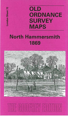
North Hammersmith in 1869 in a fascinating series of reproductions of old Ordnance Survey plans in the Alan Godfrey Editions, ideal for anyone interested in the history of their neighbourhood or family. Four versions of this map have been published, with coverage extending from Acton Lane and Beaconsfield Road eastward to Devonport Road and Tabor
Bewdley 1926
Bewdley in 1926 in a fascinating series of reproductions of old Ordnance Survey plans in the Alan Godfrey Editions, ideal for anyone interested in the history of their neighbourhood or family. The map extends eastward to Sandbourne House, and westward to Tanner`s Hill. Wribbenhall on the north-eastern bank of the Severn is also covered. Features
Tenbury 1902
Tenbury in 1902 in a fascinating series of reproductions of old Ordnance Survey plans in the Alan Godfrey Editions, ideal for anyone interested in the history of their neighbourhood or family. The map is split between Worcestershire and Shropshire. Coverage stretches from Burford House eastward to Kyrewood House, and northward to Spurtree. Features include the
New Cross & Deptford Broadway 1894 – 104.2
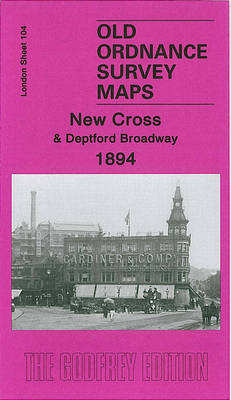
New Cross and Deptford Broadway in 1894 in a fascinating series of reproductions of old Ordnance Survey plans in the Alan Godfrey Editions, ideal for anyone interested in the history of their neighbourhood or family. Three versions for this area have been published, stretching from Pomery St and Nunhead Junction eastward to Deptford Bridge, and
New Cross & Deptford Bridge 1871 – 104.1
New Cross and Deptford Bridge in 1871 in a fascinating series of reproductions of old Ordnance Survey plans in the Alan Godfrey Editions, ideal for anyone interested in the history of their neighbourhood or family. Three versions for this area have been published. stretching from Pomery St and Nunhead Junction eastward to Deptford Bridge, and
Llandovery 1904 – 18.13
Llandovery in 1904 in a fascinating series of reproductions of old Ordnance Survey plans in the Alan Godfrey Editions, ideal for anyone interested in the history of their neighbourhood or family. The map covers the small town of Llandovery, extending northward to Llanfair Grange and the Roman station of Loventium. Features include the town centre,
Bromsgrove 1926
Bromsgrove in 1926 in a fascinating series of reproductions of old Ordnance Survey plans in the Alan Godfrey Editions, ideal for anyone interested in the history of their neighbourhood or family. Coverage stretches from Highfield Road northward to the Churchfields area. Features include Bromsgrove School, St John the Baptist church, Cemetery, Fordhouse Farm, Warwick Hall,
Colwyn Bay South West 1911
Colwyn Bay South West in 1911 in a fascinating series of reproductions of old Ordnance Survey plans in the Alan Godfrey Editions, ideal for anyone interested in the history of their neighbourhood or family. the map covers the south-western corner of Colwyn Bay, around Woodland Park and York Road. Coverage then extends south-west into the
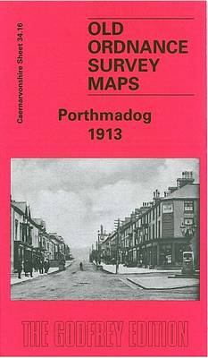
Tremadog 1913 – 34.12
Tremadog in 1913 in a fascinating series of reproductions of old Ordnance Survey plans in the Alan Godfrey Editions, ideal for anyone interested in the history of their neighbourhood or family. The map covers the village of Tremadog (or Tremadoc), extending southward to Portmadoc station and eastward to Portreuddyn Castle (on north margin of map).
Blackheath & Greenwich Park 1894 – 105.2
Blackheath and Greenwich Park in 1894 in a fascinating series of reproductions of old Ordnance Survey plans in the Alan Godfrey Editions, ideal for anyone interested in the history of their neighbourhood or family. Two versions been published for this area, stretching from Brookmill Road, Beaufort Gardens and the east end of St Johns station
South Oxfordshire 1887
South Oxfordshire in 1887 in a series of reproductions of Ordnance Survey’s famous “Inch to the Mile” maps published in the Alan Godfrey Editions to provide a historical record of England and Wales in the second half of 19th and early 20th century.The map covers the area of south Oxfordshire around Watlington, Wallingford and Henley
Northfield South 1903
Northfield South in 1903 in a fascinating series of reproductions of old Ordnance Survey plans in the Alan Godfrey Editions, ideal for anyone interested in the history of their neighbourhood or family. The map covers most of Northfield and extends southward to Turves Green. Features include Midland Railway with Northfield station, St Lawrence`s church, Moat