Category Archives: Maps
South Bank and Grangetown North 1927

South Bank and Grangetown North in 1927 in a fascinating series of reproductions of old Ordnance Survey plans in the Alan Godfrey Editions, ideal for anyone interested in the history of their neighbourhood or family. The map is dominated by steel and iron works. The LNER railway runs west-east across the map and on its
Wolverhampton Bushbury 1914
Wolverhampton Bushbury in 1914 in a fascinating series of reproductions of old Ordnance Survey plans in the Alan Godfrey Editions, ideal for anyone interested in the history of their neighbourhood or family. The map covers the Bushbury and Dunstall Park area on the north side of Wolverhampton. Coverage extends from Dunstall Park station northward to
Castle Bolton, Middleham and Redmire 1910
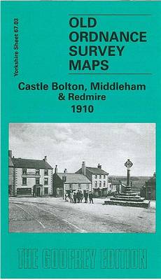
Castle Bolton, Middleham and Redmire in 1910 in a fascinating series of reproductions of old Ordnance Survey plans in the Alan Godfrey Editions, ideal for anyone interested in the history of their neighbourhood or family. The map is double-sided; the main map covers Castle Bolton, with the imposing Bolton Castle and St Oswald`s church. Coverage
Longtown, Bewcastle and District 1902
Longtown, Bewcastle and District in 1902 in a series of reproductions of Ordnance Survey’s famous “Inch to the Mile” maps published in the Alan Godfrey Editions to provide a historical record of England and Wales in the second half of 19th and early 20th century.The map presents sheets 11 and 12 side by side. Coverage
Hounslow West 1894 – 20.06a
Hounslow West in 1894 in a fascinating series of reproductions of old Ordnance Survey plans in the Alan Godfrey Editions, ideal for anyone interested in the history of their neighbourhood or family. The map covers the western end of Hounslow, from Upton Road and Cromwell Street westward along the Bath Road and Staines Road, and
Orford Ness and Felixstowe 1905
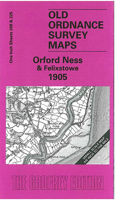
Orford Ness and Felixstowe in 1905 in a series of reproductions of Ordnance Survey’s famous “Inch to the Mile” maps published in the Alan Godfrey Editions to provide a historical record of England and Wales in the second half of 19th and early 20th century. The map covers Suffolk coast around Hollesley Bay. Coverage stretches
Knutsford South 1908
Knutsford South in 1908 in a fascinating series of reproductions of old Ordnance Survey plans in the Alan Godfrey Editions, ideal for anyone interested in the history of their neighbourhood or family. The map covers the southern part of Knutsford, stretching from St John`s church (at margin of map) southward to Bexton Hall and Sandfield
March Station 1900
March Station in 1900 in a fascinating series of reproductions of old Ordnance Survey plans in the Alan Godfrey Editions, ideal for anyone interested in the history of their neighbourhood or family. March is covered on two maps which link up to provide good coverage of the town. This March Station map covers the northern
Gunnislake South and Albaston 1905
Gunnislake South and Albaston in 1905 in a fascinating series of reproductions of old Ordnance Survey plans in the Alan Godfrey Editions, ideal for anyone interested in the history of their neighbourhood or family. Gunnislake is covered by two maps. This title covers the southern part of the village, extending southward to Hatches Green and
Gunnislake North 1905
Gunnislake North in 1905 in a fascinating series of reproductions of old Ordnance Survey plans in the Alan Godfrey Editions, ideal for anyone interested in the history of their neighbourhood or family. Gunnislake is covered by two maps. This title covers the northern part of the village, from St Anne`s church northward, including the adjacent
Hornsea 1926
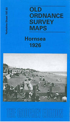
Hornsea in 1926 in a fascinating series of reproductions of old Ordnance Survey plans in the Alan Godfrey Editions, ideal for anyone interested in the history of their neighbourhood or family. The map is double-sided and covers the small town of Hornsea, a few miles east of Hull. Features on the main map include the
Norwich, Hingham and District 1908
Norwich, Hingham and District in 1908 in a series of reproductions of Ordnance Survey’s famous “Inch to the Mile” maps published in the Alan Godfrey Editions to provide a historical record of England and Wales in the second half of 19th and early 20th century.In this title coverage stretches from East Dereham eastward to Thorpe-next-Norwich,
Trafford Park South 1937
Trafford Park South in 1937 in a fascinating series of reproductions of old Ordnance Survey plans in the Alan Godfrey Editions, ideal for anyone interested in the history of their neighbourhood or family. The map covers part of Trafford Park, plus some residential development along Barton Road to the south. Features include Metropolitan-Vickers Works, Park
Oxford, Witney and District 1893
Oxford, Witney and District in 1893 in a series of reproductions of Ordnance Survey’s famous “Inch to the Mile” maps published in the Alan Godfrey Editions to provide a historical record of England and Wales in the second half of 19th and early 20th century.Coverage extends from Burford eastward to Oxford and from Charlbury southward
Guisborough 1927
Guisborough in 1927 in a fascinating series of reproductions of old Ordnance Survey plans in the Alan Godfrey Editions, ideal for anyone interested in the history of their neighbourhood or family. The map is double-sided. The main map covers the southern part of the town, including the railway station, a good stretch of the railway
Great Malvern and West Malvern 1926
Great Malvern and West Malvern in 1926 in a fascinating series of reproductions of old Ordnance Survey plans in the Alan Godfrey Editions, ideal for anyone interested in the history of their neighbourhood or family. The map covers the western part of Great Malvern, extending across North Hill and Sugarloaf Hill to West Malvern. Herefordshire
Ouistreham (Pegasus Bridge) 1944

Ouistreham (Pegasus Bridge) in a series of reproductions of the Bigot Plans prepared by the GSGS (Geographic Section General Staff) for the D-Day landings in Normandy in June 1944, showing German defences and other obstacles facing the invading Allied troops. The map is centred on the bridge that is now known as Pegasus Bridge, near
North Hammersmith 1869 – 72.1
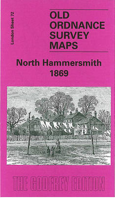
North Hammersmith in 1869 in a fascinating series of reproductions of old Ordnance Survey plans in the Alan Godfrey Editions, ideal for anyone interested in the history of their neighbourhood or family. Four versions of this map have been published, with coverage extending from Acton Lane and Beaconsfield Road eastward to Devonport Road and Tabor
Bewdley 1926
Bewdley in 1926 in a fascinating series of reproductions of old Ordnance Survey plans in the Alan Godfrey Editions, ideal for anyone interested in the history of their neighbourhood or family. The map extends eastward to Sandbourne House, and westward to Tanner`s Hill. Wribbenhall on the north-eastern bank of the Severn is also covered. Features
Tenbury 1902
Tenbury in 1902 in a fascinating series of reproductions of old Ordnance Survey plans in the Alan Godfrey Editions, ideal for anyone interested in the history of their neighbourhood or family. The map is split between Worcestershire and Shropshire. Coverage stretches from Burford House eastward to Kyrewood House, and northward to Spurtree. Features include the