Category Archives: Maps
Hawes 1910
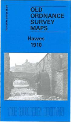
Hawes in 1910 in a fascinating series of reproductions of old Ordnance Survey plans in the Alan Godfrey Editions, ideal for anyone interested in the history of their neighbourhood or family. The map covers the small market town of Hawes, near the top of Wensleydale. Features include the Market Place, St Margaret`s church, Early Haw,
Grimethorpe 1929
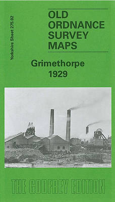
Grimethorpe in 1929 in a fascinating series of reproductions of old Ordnance Survey plans in the Alan Godfrey Editions, ideal for anyone interested in the history of their neighbourhood or family. Selected towns in Great Britain and Ireland are covered by maps showing thThe map covers the village of Grimethorpe, just east of Barnsley. Features
Chigwell Row and Grange Hill 1914
Chigwell Row and Grange Hill in 1914 in a fascinating series of reproductions of old Ordnance Survey plans in the Alan Godfrey Editions, ideal for anyone interested in the history of their neighbourhood or family. The map covers Grange Hill with its station in the south-west and from here Manor Road stretches up to the
Heckmondwike 1905
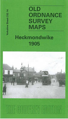
Heckmondwike in 1905 in a fascinating series of reproductions of old Ordnance Survey plans in the Alan Godfrey Editions, ideal for anyone interested in the history of their neighbourhood or family. The map covers much of Heckmondwike and the area to the south, with coverage southward to Liversedge Park Farm and westward to Balm Field
Cricklewood and Child`s Hill 1912
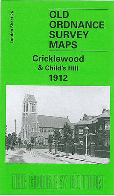
Cricklewood and Child`s Hill in 1912 in a fascinating series of reproductions of old Ordnance Survey plans in the Alan Godfrey Editions, ideal for anyone interested in the history of their neighbourhood or family. Two versions for this area have been published, centred on Cricklewood and stretching from St Michael`s Road eastward to Finchley Road,
Fenton 1922
Fenton in 1922 in a fascinating series of reproductions of old Ordnance Survey plans in the Alan Godfrey Editions, ideal for anyone interested in the history of their neighbourhood or family. The map covers much of Fenton, one of the `Sixth Town` of the Potteries. Coverage stretches from Regent Road and Wellington Street eastward to
Eston 1927

Eston in 1927 in a fascinating series of reproductions of old Ordnance Survey plans in the Alan Godfrey Editions, ideal for anyone interested in the history of their neighbourhood or family. The map includes Old Eston, South Eston and California, with coverage extending eastward to Eston Nab, Eston Beacon and Lackenby Bank. Eston Bank with
Birmingham and District 1910
Birmingham and District in 1910 in a series of reproductions of Ordnance Survey’s famous “Inch to the Mile” maps published in the Alan Godfrey Editions to provide a historical record of England and Wales in the second half of 19th and early 20th century.The map is centred on Birmingham and stretches from Halesowen and Rowley
Holywell 1910
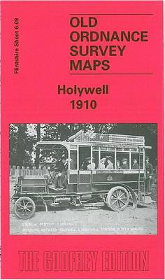
Holywell in 1910 in a fascinating series of reproductions of old Ordnance Survey plans in the Alan Godfrey Editions, ideal for anyone interested in the history of their neighbourhood or family. The map covers the centre of Holywell and the area to the west, with coverage westward to Mwdwl-eithin and Saith-aelwyd. Features include Pantasaph Farm,
Wivenhoe 1896
Wivenhoe in 1896 in a fascinating series of reproductions of old Ordnance Survey plans in the Alan Godfrey Editions, ideal for anyone interested in the history of their neighbourhood or family. SThe map covers most of this small, compact town, including its railway station, St Mary`s church, Wivenhoe Hall, shipbuilding yards, Station Hotel, wharf. Across
Helston 1906
Helston in 1906 in a fascinating series of reproductions of old Ordnance Survey plans in the Alan Godfrey Editions, ideal for anyone interested in the history of their neighbourhood or family. The map is double-sided to give maximum coverage. The main map covers the centre of Helston, extending to the south and east. The town
Hunmanby 1926
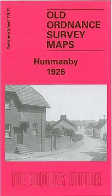
Hunmanby in 1926 in a fascinating series of reproductions of old Ordnance Survey plans in the Alan Godfrey Editions, ideal for anyone interested in the history of their neighbourhood or family. Features on the map include the railway with station, brick works, town centre, Hunmanby Hall, Parkhouse Farm, All Saints church, Bridlington Street, Ratten Row,
Newport 1907 – 95.02
Newport in 1907 in a fascinating series of reproductions of old Ordnance Survey plans in the Alan Godfrey Editions, ideal for anyone interested in the history of their neighbourhood or family. The map covers the central and eastern parts of Newport, with its medieval street pattern. Coverage stretches from Drill Hall Road and The Mall
Liverpool London Road 1864
London Road area of Liverpool in 1864 in a series of exceptionally detailed reproductions of old Ordnance Survey street plans for areas of larger cities which have undergone substantial redevelopment in the late 19th or the early 20th century, published in the Alan Godfrey Editions.The plans, printed in back and white, have been taken from
Aberdeen (Bridge of Don) 1899 – 75.03
Aberdeen Bridge of Don in 1899 in a fascinating series of reproductions of old Ordnance Survey plans in the Alan Godfrey Editions, ideal for anyone interested in the history of their neighbourhood or family. The map covers the Bridge of Don area on the northern outskirts of Aberdeen. Features include Seaton House, Balgownie, Donside Paper
Norwich, Hingham and District 1908
Norwich, Hingham and District in 1908 in a series of reproductions of Ordnance Survey’s famous “Inch to the Mile” maps published in the Alan Godfrey Editions to provide a historical record of England and Wales in the second half of 19th and early 20th century.In this title coverage stretches from East Dereham eastward to Thorpe-next-Norwich,
Trafford Park South 1937
Trafford Park South in 1937 in a fascinating series of reproductions of old Ordnance Survey plans in the Alan Godfrey Editions, ideal for anyone interested in the history of their neighbourhood or family. The map covers part of Trafford Park, plus some residential development along Barton Road to the south. Features include Metropolitan-Vickers Works, Park
Oxford, Witney and District 1893
Oxford, Witney and District in 1893 in a series of reproductions of Ordnance Survey’s famous “Inch to the Mile” maps published in the Alan Godfrey Editions to provide a historical record of England and Wales in the second half of 19th and early 20th century.Coverage extends from Burford eastward to Oxford and from Charlbury southward
Guisborough 1927
Guisborough in 1927 in a fascinating series of reproductions of old Ordnance Survey plans in the Alan Godfrey Editions, ideal for anyone interested in the history of their neighbourhood or family. The map is double-sided. The main map covers the southern part of the town, including the railway station, a good stretch of the railway
Tickhill 1901
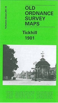
Tickhill in 1901 in a fascinating series of reproductions of old Ordnance Survey plans in the Alan Godfrey Editions, ideal for anyone interested in the history of their neighbourhood or family. The map is double-sided. The main map covers the centre and east of the village, including North Gate, Castle Gate and Market Place. Coverage