Category Archives: Maps
El Chaten – El Calafate de Dios Regional Map

Southern Patagonia: El Chaten – El Calafate area in a series of handy format, light, laminated and waterproof concertina maps of Argentina’s popular regions and routes from De Dios, presenting a selection of tourist road maps, street plans and trekking suggestions. The road maps in these titles do not aim to provide a detailed picture
Citix60: Vancouver

Boasting some of the West Coast`s best cuisine, shopping and outdoor activities, Vancouver is a true pearl of the Northwest. Always ranked one of the top world cities to live in, it`s also one of the best tourist destinations in North America and one of the most ethnically diverse. This helps make it a foodie
Iguazu Falls de Dios Regional Map
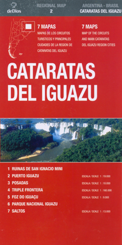
Iguazu Falls in a series of handy format, light, laminated and waterproof concertina maps of Argentina’s popular regions and routes from De Dios, presenting a selection of tourist road maps, street plans and trekking suggestions. The road maps in these titles do not aim to provide a detailed picture of the region’s road network, but
Rio de Janeiro de Dios CityMap
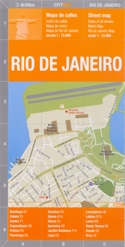
Rio de Janeiro in a series of light, laminated and waterproof concertina street plans of Latin American capitals and main cities, designed to present each city’s most visited areas. The plans are indexed and include diagrams of metro networks.The plan of Rio de Janeiro at 1:12,000 covers the districts along the Atlantic Ocean, from the
Bikes of Burden

It is the motorbike that makes Vietnam tick. In Saigon alone, two million ply the streets. People commute by bike, father take their kids to school by bike (you`d be surprised how many at a time!), and products find their way to the consumers by motorbike. The bike as backbone of the economy the bike
North Argentina de Dios Regional Map

North-western Argentina on a handy size, waterproof and tear-resistant concertina map from the Buenos Aires-based De Dios providing an overview road map of the region, five additional more detailed panels showing recommendations for sightseeing circuits, plus four street plans. This 2007 version of this title includes:- An overview map at 1:4,500,000 of the whole region,
Cambodia: Leap and Hop Series

Leap & Hop is a series of travel books written especially for children by Isabelle Demenge with illustrations by Emilie Sarnel. The idea of the series is to turn a “grown-up” trip into a fun adventure for children. These interactive books aim at getting children to discover new places and learn about other cultures through
India: Leap and Hop Series

Leap & Hop India By Isabelle Demenge Illustration by Emilie SarnelLeap & Hop is a series of travel books written especially for children by Isabelle Demenge with illustrations by Emilie Sarnel. The idea of the series is to turn a “grown-up” trip into a fun adventure for children. These interactive books aim at getting children
Argentina de Dios Map-Guide
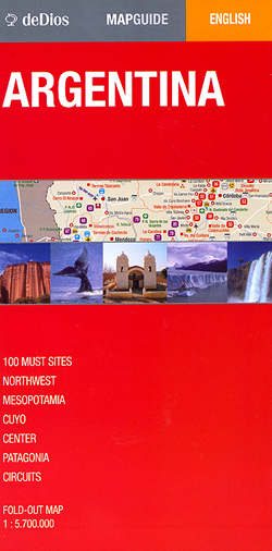
Overview map of Argentina designed to highlight 100 best places of interest, attractions, national parks, etc., all with brief descriptions, as well as to provide essential information for traveling around the country.On one side is a very general, indexed road map of the whole country annotated with 100 colour markers cross-referenced to the information on
Buenos Aires de Dios Map-Guide
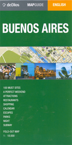
From Argentina’s leading map publishers, a combined plan/guide of Buenos Aires with tourist tips, descriptions of main attractions, a 3-day hour-by-hour plan for a perfect city break and suggestions for day trips.The street plan of the city, one half of one side of this map, is cross-referenced with colour-coded markers to extensive information provided in
Buenos Aires Street de Dios Street Plan
Central districts of Buenos Aires on a handy size concertina map at 1:18,000 from the locally-based publishers de Dios Editores showing locations of various places of interest and services, all listed on the reverse together with the street index. Metro lines and stations are clearly marked, and also provided is a diagram of the whole
Antarctica Historical Map
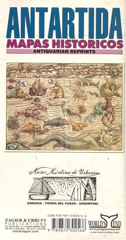
An interesting collection of historical maps is arranged on this sheet – each representing the concept (realistic or otherwise) of the enigmatic continent of Antarctic – aka Terra Australis or Terra Incognita – at various times since the sixteenth century. The nine maps range in time from Cornelius Wyfliet’s 1598 map of Antarctica and South
Montevideo
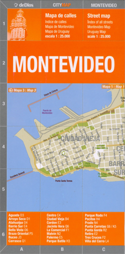
Montevideo in a series of light, laminated and waterproof concertina street plans of Latin American capitals, designed to present each city’s most visited areas. The plans are indexed and include diagrams of metro networks.The plan of Montevideo at 1:25,000 covers the central part of the city from the Old Town to Carrasco, with insets extending
Santiago de Chile de Dios CityMap

Santiago in a series of light, laminated and waterproof concertina street plans of Latin American capitals, designed to present each city’s most visited areas. The plans are indexed and include diagrams of metro networks.The plan of Santiago at 1:18,000 covers the central part of the city from the Quinta Normal museum complex to Esquela Militar
Jujuy and Salta Provinces
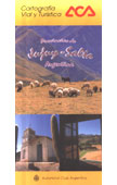
One of the titles in a series of indexed provincial road maps with somewhat old-fashioned and cluttered cartography from the Automรณvil Club Argentino. Road network indicates ACA’s services and petrol stations, as well as campsites approved by the Club. Symbols highlight places of interest, resorts, etc. Each title also includes street plans of main towns


