Category Archives: Maps
Blackpool North Pier & Town Centre 1910

Blackpool North Pier and Town Centre in 1910 in a fascinating series of reproductions of old Ordnance Survey plans in the Alan Godfrey Editions, ideal for anyone interested in the history of their neighbourhood or family. The map covers the central area of Blackpool, from the Imperial Hotel southward to Hornby Road, and from the
Cudworth 1904
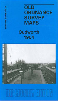
Cudworth in 1904 in a fascinating series of reproductions of old Ordnance Survey plans in the Alan Godfrey Editions, ideal for anyone interested in the history of their neighbourhood or family. The map covers the village of Cudworth, just north-east of Barnsley. Cudworth was notable as the unlikely terminus of the Hull & Barnsley Railway
New Quay 1904
New Quay in 1904 in a fascinating series of reproductions of old Ordnance Survey plans in the Alan Godfrey Editions, ideal for anyone interested in the history of their neighbourhood or family. Features include the harbour, New Quay Head, St Llwchaiarn`s church, Towyn Chapel, and many outlying houses. Coverage extends a mile west to the
Blackpool North Shore 1910-1938
Blackpool North Shore in 1910 and 1938 in a fascinating series of reproductions of old Ordnance Survey plans in the Alan Godfrey Editions, ideal for anyone interested in the history of their neighbourhood or family. This title has two detailed maps side by side: one for 1910, the other for 1938, a fascinating opportunity to
Irlam Hall 1926
Irlam Hall in 1926 in a fascinating series of reproductions of old Ordnance Survey plans in the Alan Godfrey Editions, ideal for anyone interested in the history of their neighbourhood or family. The map is double-sided. The main map is the 1926 version and covers an area from Moss Road and Cadishead Moss eastward to
Reeth and Grinton 1910
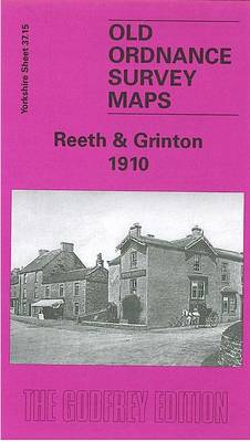
Reeth and Grinton in 1910 in a fascinating series of reproductions of old Ordnance Survey plans in the Alan Godfrey Editions, ideal for anyone interested in the history of their neighbourhood or family. The map covers Reeth, the `capital` of Swaledale. On the reverse coverage is extended south to Fremington, including Draycot Hall and Grinton,
Coventry (North) 1912 – 21.08
North Coventry in 1912 in a fascinating series of reproductions of old Ordnance Survey plans in the Alan Godfrey Editions, ideal for anyone interested in the history of their neighbourhood or family. Coventry in covered on four maps:COVENTRY CENTRAL 1905 map covers the city centre, extending from Queen Victoria Road eastward to Gosford Green and
Coventry (West) 1904-11 – 21.11
West Coventry in 1904-1911 in a fascinating series of reproductions of old Ordnance Survey plans in the Alan Godfrey Editions, ideal for anyone interested in the history of their neighbourhood or family. Coventry in covered on four maps:COVENTRY CENTRAL 1905 map covers the city centre, extending from Queen Victoria Road eastward to Gosford Green and
Coventry (South) 1912 – 21.16
South Coventry in 1912 in a fascinating series of reproductions of old Ordnance Survey plans in the Alan Godfrey Editions, ideal for anyone interested in the history of their neighbourhood or family. Coventry in covered on four maps:COVENTRY CENTRAL 1905 map covers the city centre, extending from Queen Victoria Road eastward to Gosford Green and
Andover, Whitchurch and the Hampshire Downs 1898
Andover, Whitechurch and the Hampshire Downs in 1898 in a series of reproductions of Ordnance Survey’s famous “Inch to the Mile” maps published in the Alan Godfrey Editions to provide a historical record of England and Wales in the second half of 19th and early 20th century.The map covers the area around and to the
East Dulwich & Peckham Rye 1894 – 117.2
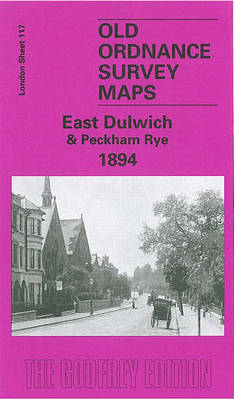
East Dulwich and Peckham Rye in 1894 in a fascinating series of reproductions of old Ordnance Survey plans in the Alan Godfrey Editions, ideal for anyone interested in the history of their neighbourhood or family.Three versions for this area have been published, stretching from Redpost Lane (or Redpost Hill) eastward to Peckham Rye Park, and
Stonefield, Auchinraith & Burnbank 1897 – 11.15
Stonefield, Auchinraith and Burnbank in 1897 in a fascinating series of reproductions of old Ordnance Survey plans in the Alan Godfrey Editions, ideal for anyone interested in the history of their neighbourhood or family. The map covers an area on the north-western side of Hamilton. Coverage stretches from Stonefield and Auchinraith eastward to Burnbank and
Hetton Downs and Rainton Bridge 1895
HHetton Downs and Rainton Bridge in 1895 in a fascinating series of reproductions of old Ordnance Survey plans in the Alan Godfrey Editions, ideal for anyone interested in the history of their neighbourhood or family. The map covers an area just south of Houghton-le-Spring, with part of the village of Hetton Downs is in the
Nottingham NW (New Basford & Hyson Green) 1913 – 38.13
Nottingham North West, New Basford and Hyson Green in 1913 in a fascinating series of reproductions of old Ordnance Survey plans in the Alan Godfrey Editions, ideal for anyone interested in the history of their neighbourhood or family. The map covers the north west area of Nottingham, stretching from Maud Street and Leslie Road westward
No Place, Beamish and West Pelton 1895
No Place, Beamish and West Pelton in 1895 in a fascinating series of reproductions of old Ordnance Survey plans in the Alan Godfrey Editions, ideal for anyone interested in the history of their neighbourhood or family. The map covers the village of Beamish (though Beamish Hall and the area now covered by the museum are
Tottenham 1936 – 13.4
Tottenham in 1936 in a fascinating series of reproductions of old Ordnance Survey plans in the Alan Godfrey Editions, ideal for anyone interested in the history of their neighbourhood or family. Two versions have been published to cover this area of the southern half of Tottenham, stretching from South Tottenham station northward to Bruce Grove
Brough 1908
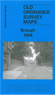
Brough in 1908 in a fascinating series of reproductions of old Ordnance Survey plans in the Alan Godfrey Editions, ideal for anyone interested in the history of their neighbourhood or family. The map covers the village of Brough, originally within the parish of Elloughton. Features include the station, a corn factory, wharf, Skillings Lodge Farm,
Sturminster Newton 1900
Sturminster Newton in 1900 in a fascinating series of reproductions of old Ordnance Survey plans in the Alan Godfrey Editions, ideal for anyone interested in the history of their neighbourhood or family. The map is double-sided to give maximum coverage. The main map shows the town centre and extends north to the workhouse and beyond
Durham City East 1894
Durham East in 1894 in a fascinating series of reproductions of old Ordnance Survey plans in the Alan Godfrey Editions, ideal for anyone interested in the history of their neighbourhood or family. Coverage stretches from Gilesgate eastward to Sherburn Grange and, near the south-eastern corner, Sherburnhouse station. Sunderland Road and Sherburn Road fan out across