Category Archives: Maps
Blackburn 1929

Blackburn in 1929 in a fascinating series of reproductions of old Ordnance Survey plans in the Alan Godfrey Editions, ideal for anyone interested in the history of their neighbourhood or family. Three versions of this map have been published, extending from Wimberley Street and Brockkhouse southward to Lower Audley Steet and Pringle Street, and from
Blackburn West 1929
Blackburn West in 1929 in a fascinating series of reproductions of old Ordnance Survey plans in the Alan Godfrey Editions, ideal for anyone interested in the history of their neighbourhood or family. The map covers the western part of Blackburn, stretching from Montague Street and Leyland Street westward to Billinge Nook and Billinge Hill, and
Swiss Cottage 1866-71 – 37.1
Swiss Cottage in 1866-1871 in a fascinating series of reproductions of old Ordnance Survey plans in the Alan Godfrey Editions, ideal for anyone interested in the history of their neighbourhood or family. Three versions of this map have been published, centred on Swiss Cottage with its underground station, New College (a training college for dissenting
Lower Irlam and Cadishead 1926
Lower Irlam and Cadishead in 1926 in a fascinating series of reproductions of old Ordnance Survey plans in the Alan Godfrey Editions, ideal for anyone interested in the history of their neighbourhood or family. The map covers Lower Irlam, with coverage running along the Liverpool Road towards Cadishead; Green Lane and Lords Street are at
Goathland 1910 – 45.16
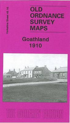
Goathland in 1910 in a fascinating series of reproductions of old Ordnance Survey plans in the Alan Godfrey Editions, ideal for anyone interested in the history of their neighbourhood or family. The map covers the village of Goathland, deep in the North York Moors, including the station, Goathland Hotel, Goathland Hydro, Stone Crushing Works and
Great Driffield 1909
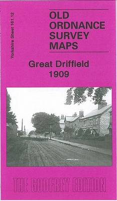
Great Driffield in 1909 in a fascinating series of reproductions of old Ordnance Survey plans in the Alan Godfrey Editions, ideal for anyone interested in the history of their neighbourhood or family. The map covers most of the town and features include the railway and station, Workhouse, cottage hospital, Cattle Market, All Saints church, Highfield,
Maldon West 1920 – 55.16
Maldon West in 1920 in a fascinating series of reproductions of old Ordnance Survey plans in the Alan Godfrey Editions, ideal for anyone interested in the history of their neighbourhood or family. Maldon is covered on two maps. The Maldon West map covers the area from the Town Hall and Market Place westward to Little
Glasgow High Street 1933
Glasgow High Street in 1933 in a fascinating series of reproductions of old Ordnance Survey plans in the Alan Godfrey Editions, ideal for anyone interested in the history of their neighbourhood or family. Two versions have been published for this area. Coverage stretches from Buchanan Street eastward to Whitevale Street and Armadale Street, and from
Maldon (East) 1920 – 56.13
Maldon East in 1920 in a fascinating series of reproductions of old Ordnance Survey plans in the Alan Godfrey Editions, ideal for anyone interested in the history of their neighbourhood or family. Maldon is covered on two maps. The Maldon East map covers the eastern part of the town, stretching from Market Hill and High
Redditch West 1903
Redditch West in 1903 in a fascinating series of reproductions of old Ordnance Survey plans in the Alan Godfrey Editions, ideal for anyone interested in the history of their neighbourhood or family. The map covers the western part of Redditch, stretching from Unicorn Hill westward to Foxlydiate Wood, with the Fox & Goose Inn at
Sheffield Hillsborough 1902
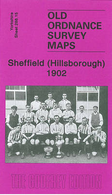
Sheffield Hillsborough in 1902 in a fascinating series of reproductions of old Ordnance Survey plans in the Alan Godfrey Editions, ideal for anyone interested in the history of their neighbourhood or family. The map covers the Hillsborough area of Sheffield, stretching from Hillsborough Hall northward to Wadsley Bridge and eastward to Southey Green. Features include
NW Monmouthshire 1914 – 232
North West Monmouthshire in 1914 in a series of reproductions of Ordnance Survey’s famous “Inch to the Mile” maps published in the Alan Godfrey Editions to provide a historical record of England and Wales in the second half of 19th and early 20th century.Two versions have been published for this area. The maps cover the
Redditch East 1903
Redditch East in 1903 in a fascinating series of reproductions of old Ordnance Survey plans in the Alan Godfrey Editions, ideal for anyone interested in the history of their neighbourhood or family. The map covers the eastern part of Redditch, stretching from Evesham Street eastward to the River Arrow and the county boundary (with some
Patricroft and Monton 1905
Patricroft and Monton 1905 in a fascinating series of reproductions of old Ordnance Survey plans in the Alan Godfrey Editions, ideal for anyone interested in the history of their neighbourhood or family. The map covers the Patricroft area, formerly part of the borough of Eccles, including Patricroft itself and stretches north to Monton and Monton
Rossall 1909
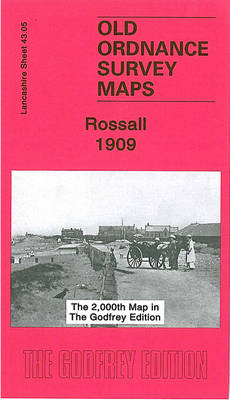
Rossall in 1909 in a fascinating series of reproductions of old Ordnance Survey plans in the Alan Godfrey Editions, ideal for anyone interested in the history of their neighbourhood or family. The map is double-sided. The main map covers the area east of Rossall, from Fleetwood Farm eastward to Fleetwood Salt Works and the Ammonia
Kirkby Stephen 1911 – 23.15
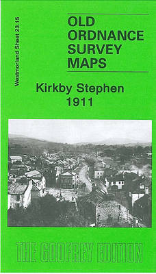
Kirkby Stephen in 1911 in a fascinating series of reproductions of old Ordnance Survey plans in the Alan Godfrey Editions, ideal for anyone interested in the history of their neighbourhood or family. The map is double-sided. The main map includes the town centre, stretching southward to Stenkrith Bridge and eastward to Hellgill Howe, Birkett Lane
Bristol and District 1912
Bristol and District in 1912 in a series of reproductions of Ordnance Survey’s famous “Inch to the Mile” maps published in the Alan Godfrey Editions to provide a historical record of England and Wales in the second half of 19th and early 20th century.In this title coverage stretches from Clevedon eastward to Keynsham and Kingswood,
Blackpool Central Pier 1909
Blackpool Central Pier in 1909 in a fascinating series of reproductions of old Ordnance Survey plans in the Alan Godfrey Editions, ideal for anyone interested in the history of their neighbourhood or family. The map covers the area of Blackpool around the Central Pier and “Golden Mile”. Features include most of Central station and the
Ashton-on-Mersey 1927
Ashton-on-Mersey in 1927 in a fascinating series of reproductions of old Ordnance Survey plans in the Alan Godfrey Editions, ideal for anyone interested in the history of their neighbourhood or family. Although this map is in the Lancashire series, most of the coverage is actually of Cheshire. The map covers a busy area of Sale
Ashton-under-Lyne 1916
Ashton-under-Lyne in 1916 in a fascinating series of reproductions of old Ordnance Survey plans in the Alan Godfrey Editions, ideal for anyone interested in the history of their neighbourhood or family. The map covers the central and western parts of Ashton, stretching from Old Square westward to Ashton Moss, and from Christ Church and Lord