Category Archives: Maps
Southern England A-Z Regional Road Atlas
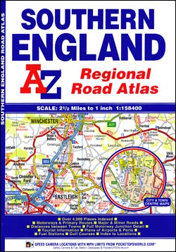
Southern England Road Atlas at 1:158,400 (1″ to 2.5 miles) from A-Z, with town centre street plans of Bath, Bournemouth, Bristol, Cardiff, Guildford, Portsmouth, Reading, Salisbury, Southampton, Swindon, Taunton, Winchester and Windsor, plus enlargements showing in greater detail access to London’s Heathrow Airport and the ferry terminal in Poole. Coverage extends from the western London
London A-Z Handy Map
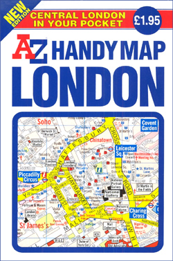
London: Central London Handy Map from A-Z publishers is an indexed mini-pocket sized street plan of the centre of London, ideal for visitors and containing a variety of tourist relevant information. At a scale of 1:11,520 / 5.5″ to a mile, the map also contains an enlargement of the West End / Soho areas of
Mansfield – Kirkby-in-Ashfield – Sutton-in-Ashfield A-Z Street Atlas
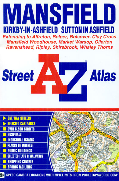
Mansfield, Kirkby-in-Ashfield and Sutton-in-Ashfield Street Atlas from the Geographers` A-Z Map Company in a paperback format slightly smaller than A5. Map scale is 1:19,000 (3.33″ to a mile). Coverage includes Alfreton, Belper, Bolsover, Clay Cross, Mansfield Woodhouse, Market Warsop, Ollerton, Ravenshead, Ripley, Shirebrook and Whaley Thorns. Current edition of this title was published in 2009.To
Blackburn – Accrington – Burnley A-Z Street Atlas
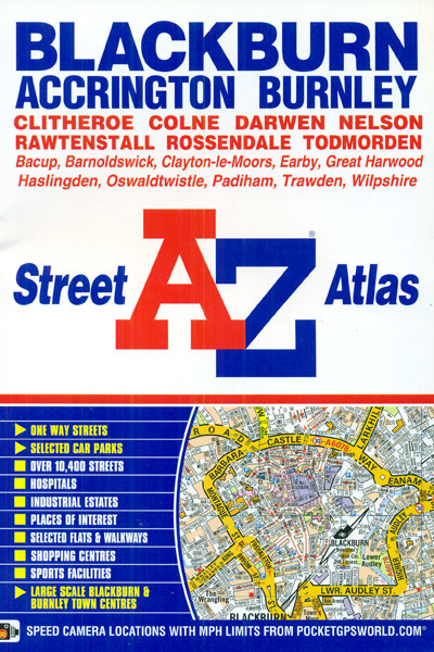
Blackburn, Accrington and Burnley Street Atlas from the Geographers` A-Z Map Company in an A5 paperback format at 1:19,000 (3.33″ to a mile), with enlargements showing town centres of Blackburn and Burnley at 1:9,500 (6.66″ to 1 mile). Coverage includes Clitheroe, Colne, Darwen, Nelson, Rawtenstall, Rossendale, Todmorden, Bacup, Barnoldswick, Clayton-le-Moors, Earby, Great Harwood, Haslingden, Oswaldtwistle,
Croydon – Purley – Sutton – Mitcham A-Z Street Atlas
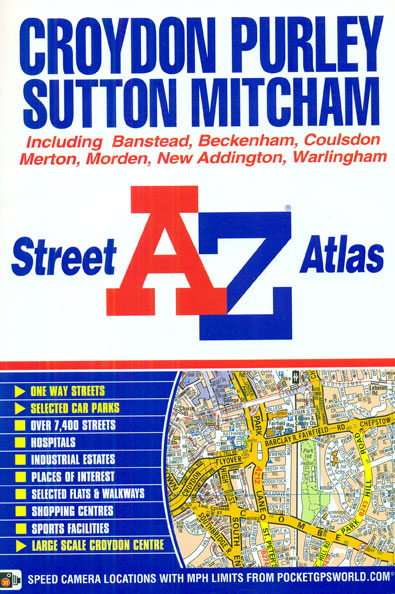
Croydon, Purley, Sutton and Mitcham Street Atlas from the Geographers` A-Z Map Company in a paperback format slightly smaller than A5. Map scale is 1:19,000 (3.33″ to a mile), with an enlargement showing the town centre of Croydon in greater detail at 1:9,500 (6.67″ to 1 mile). Coverage includes Banstead, Beckenham, Coulsdon, Merton, Morden, New
Dartford – Gravesend A-Z Street Atlas
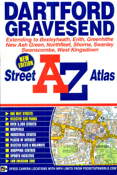
Dartford and Gravesend Street Atlas from the Geographers` A-Z Map Company in a paperback format slightly smaller than A5. Map scale is 1:19,000 (3.33″ to a mile). Coverage includes Bexleyheath, Erith, Greenhithe, New Ash Green, Northfleet, Shorne, Swanley, Swanscombe, Thamesmead, Tilbury and West Kingsdown. Current edition of this title was published in 2015.To see other
Scotland North & South A-Z Road Map
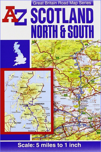
Scotland at 1:316,800 (5 miles to 1 inch) on a double-sided road map from A-Z. Coverage extends south to Blackpool and York, to include the Lake District and Yorkshire Dales, but the map has no overlap between the sides. The index is in a separate booklet attached to the map cover. Current edition of this
A to Z Atlas And Guide To London And Suburbs 1938/9
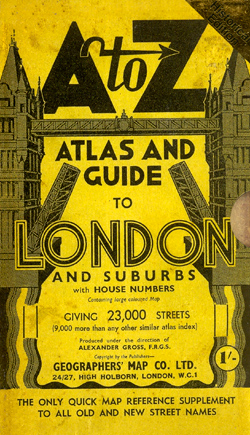
The A to Z Atlas and Guide to London and Suburbs 1938/9 is a historical reproduction atlas that affords a nostalgic look back to a time now rapidly becoming beyond living memory. This was a city of trams and trolley buses, still cloaked in the black sooty grime of Victorian industry, bedeviled by winter smogs.This
Devon – Cornwall – West Somerset A-Z Visitors` Atlas & Guide
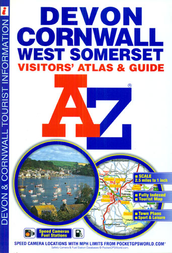
Devon, Cornwall and West Somerset road atlas from Geographers’ A-Z Map Company covering the region at 1:158,400 (1″ to 2.5 miles), plus street plans and tourist information for 25 local towns. Numerous places of interest are prominently highlighted on the map and the plans, plus listed in an extensive index. Coverage along the northern coast
Hastings – Bexhill – St. Leonards – Rye A-Z Street Atlas
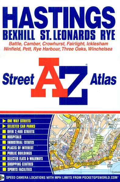
Hastings, Bexhill, St. Leonards and Rye Street Atlas from the Geographers` A-Z Map Company in a paperback format slightly smaller than A5. Map scale is 1:15,840 (4″ to a mile). Coverage includes Battle, Camber, Crowhurst, Fairlight, Icklesham, Ninfield, Pett, Rye Harbour, Three Oaks and Winchelsea. Current edition of this title was published in 2011.To see
Lake District A-Z Visitor`s Atlas & Guide
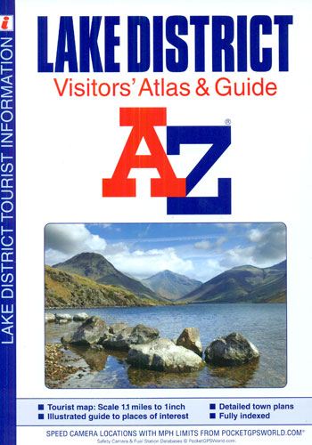
Lake District Visitors’ Atlas and Guide from the Geographers` A-Z Map Company, with contoured road mapping at 1:70,000 (1″ to 1.1 miles) to show the topography, 15 street plans with guides to main locations, plus a 26-page guide to other places of interest in the region.Topography of the Lake District is well presented by contours
Bangor – Conwy – Rhyl – Colwyn Bay – Llandudno A-Z Street Atlas
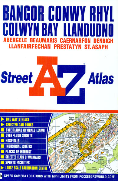
Bangor, Conwy, Rhyl, Colwyn Bay, Llandudno and Caernarfon Street Atlas from the Geographers` A-Z Map Company in an A5 paperback format at 1:19,000 (3.33″ to a mile), with an enlargement showing town centre of Caernarfon at 1:4,750 (13.34″ to 1 mile). Coverage includes Abergele, Beaumaris, Denbigh, Llanfairfechen, Prestatyn and St. Asaph. Current edition of this
British Isles Map Marketing Sales & Marketing Wall Map ENCAPSULATED
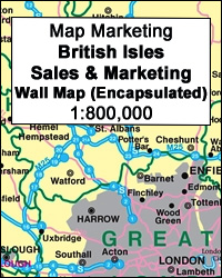
Sales and Marketing Wall Map of the British Isles, size 84 x 122cm (33″ x 48″ approx) ‘“ encapsulated version, from Map Marketing showing county and unitary authorities names and boundaries, plus additional information for the United Kingdom on postcode areas, TV coverage, etc.The map shows the UK at 1:800,000, with the whole of Ireland
Bath – Bradford-on-Avon – Trowbridge A-Z Street Atlas
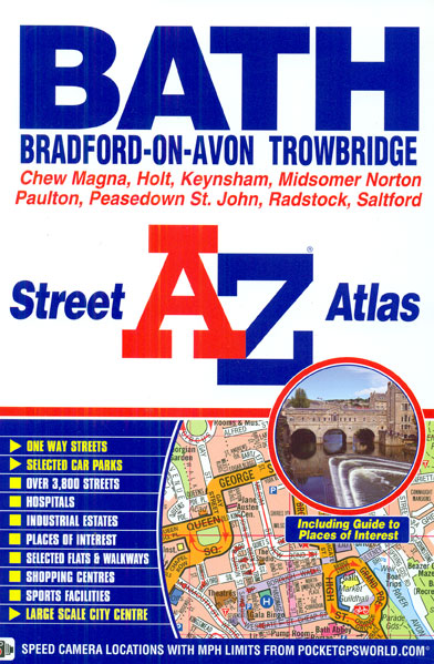
Bath, Bradford-on-Avon and Trowbridge Street Atlas from the Geographers` A-Z Map Company in an A5 paperback format at 1:15,840 (4″ to a mile), with an enlargement showing the town centre of Bath at 1:7,920 (8″ to 1 mile). Coverage includes Chew Magna, Holt, Keynsham, Midsomer Norton, Paulton, Peasedown St. John, Radstock and Saltford. Current edition
Northfield North 1903

Northfield North in 1903 in a fascinating series of reproductions of old Ordnance Survey plans in the Alan Godfrey Editions, ideal for anyone interested in the history of their neighbourhood or family. The map covers the northern part of Northfield, stretching from Griffins Brook Farm southward to Bunbury`s Road. The Bristol Road runs diagonally down
Tintagel 1905
Tintagel in 1905 in a fascinating series of reproductions of old Ordnance Survey plans in the Alan Godfrey Editions, ideal for anyone interested in the history of their neighbourhood or family. The map is double-sided; the main map covers the village of Tintagel, previously called Trevena. In 1820 the village was described as having houses
Hull Alexandra Dock 1908
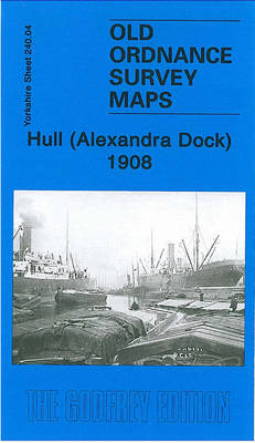
Hull Alexandra Dock in 1908 in a fascinating series of reproductions of old Ordnance Survey plans in the Alan Godfrey Editions, ideal for anyone interested in the history of their neighbourhood or family. The dominant feature on the map is the Alexandra Dock, opened in 1885 in association with the new Hull & Barnsley Railway.
Motherwell 1910 – 12.13b
Motherwell in 1910 in a fascinating series of reproductions of old Ordnance Survey plans in the Alan Godfrey Editions, ideal for anyone interested in the history of their neighbourhood or family. Two versions have been published for this area. The maps cover central Motherwell around the station and the Town Hall. Coverage extends westward to
Whiston 1925
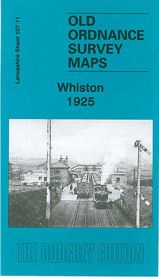
Whiston in 1925 in a fascinating series of reproductions of old Ordnance Survey plans in the Alan Godfrey Editions, ideal for anyone interested in the history of their neighbourhood or family. The map covers the village of Whiston, midway between Liverpool and Warrington. Coverage stretches from Prescot station southward to Whiston Lane Ends, and from