Category Archives: Maps
London A-Z Premier Map
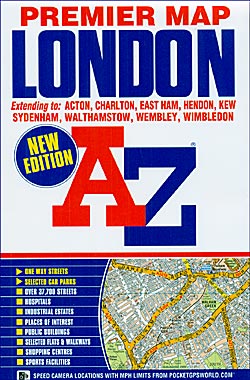
A-Z Premier Map of London at 1:21,477 (3 inches to 1 mile), paper version, from Geographers` A-Z Map Company, designed to cover an area around at least a six-mile radius from Charing Cross, with a separate 124-page index booklet attached to the map cover. Coverage extends to Collindale, Muswell Hill, Walthamstow, Wanstead, Woolwich, Eltham, Sydenham,
London A-Z Visitors` Map
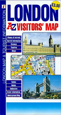
A-Z Visitors’ Map of central London at 1:10,560 (6 inches to 1 mile) from Geographers` A-Z Map Company, designed to display prominently tube stations, numerous places of interest, embassies and legations, selected hotels, etc. Coverage extends from Notting Hill to The Tower and north/south from London Zoo in Regent’s Park and St. Pancras International station
Crawley – East Grinstead – Horley – Horsham A-Z Street Atlas
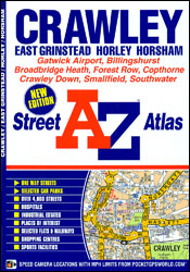
Crawley, East Grinstead, Horley and Horsham Street Atlas from the Geographers` A-Z Map Company in a paperback format slightly smaller than A5. Map scale is 1:15,840 (4″ to a mile). Coverage includes Gatwick Airport, Billinghurst, Broadbridge Heath, Forest Row, Copthorne, Crawley Down, Smallfield and Southwater. Current edition of this title was published in 2012.To see
London A-Z Visitor`s Atlas & Guide
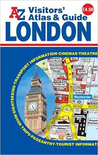
A-Z Visitors’ Atlas and Guide of London in a pocket size, spiral-bound format, with a 55-page tourist guide section which grades the described sights and includes interesting locations outside the coverage by the atlas. The guide also recommends sightseeing walks and provides much other useful tourist information. The atlas has the publishers’ mapping shown at
Great Britain A-Z REVERSIBLE Road Map
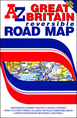
Great Britain road map, double-sided version at 1:600,000 (1″ to 9.47 miles approx.) from the Geographers` A-Z Map Company presenting the country’s road network on a clear, uncluttered base with administrative and topographic information. The map is available in two versions, both carrying the same information, and shows:- Motorway network with full or limited interchanges
Wales A-Z Regional Road Atlas
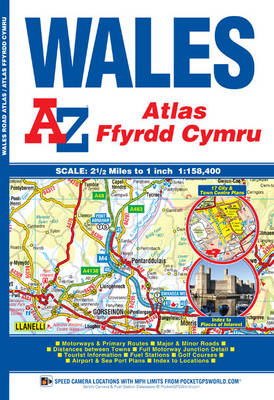
Wales Road Atlas at 1:158,400 (1″ to 2.5 miles) from A-Z, with town centre street plans of Cardiff, Aberystwyth, Bangor, Caernarfon, Carmarthen, Chester, Colwyn Bay, Hereford, Llandudno, Llanelli, Merthyr Tydfil, Newport, Prestatyn, Rhyl, Shrewsbury, Swansea and Wrexham, plus enlargement showing in greater detail access to Cardiff International Airports and the ferry terminals in Fishguard, Holyhead
Basingstoke- Andover – Overton – Whitchurch A-Z Street Atlas
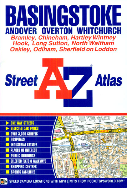
Basingstoke, Andover, Overton and Whitchurch Street Atlas from the Geographers` A-Z Map Company in an A5 paperback format at 1:19,000 (3.33″ to a mile). Coverage includes Bramley, Chineham, Hartley Witney, Hook, Long Sutton, North Waltham, Oakley, Odiham and Sherfield on Loddon. Current edition of this title was published in 2013.To see other titles in this
Brecon Beacons East A-Z Adventure Atlas
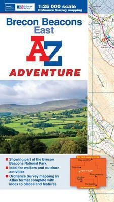
The eastern part of the Brecon Beacons at 1:25,000 in a series of handy A5 size Adventure Atlases from Geographers` A-Z Map Company with cartography from the Ordnance Survey’s Explorer series. Coverage includes Brecon, Hay-on-Wye, Pandy, Abergavenny, Pontypool, Merther Tydfil, Llangynidr, Llanfrynach, Llangorse and Talgarth.To see other titles in this series please click on the
Macclesfield – Congleton – Knutsford – Wilmslow A-Z Street Atlas
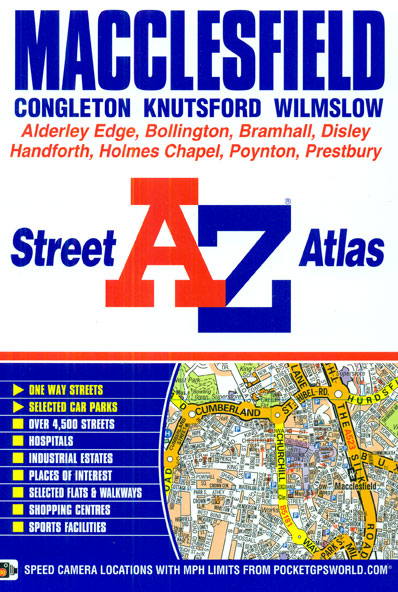
Macclesfield, Congleton, Knutsford and Wilmslow Street Atlas from the Geographers` A-Z Map Company in a paperback format slightly smaller than A5. Map scale is 1:15,840 (4″ to a mile). Coverage includes Alderley Edge, Bollington, Bramhall, Disley, Handforth, Holmes Chapel, Poynton and Prestbury. Current edition of this title was published in 2012.To see other titles in
North York Moors East A-Z Adventure Atlas
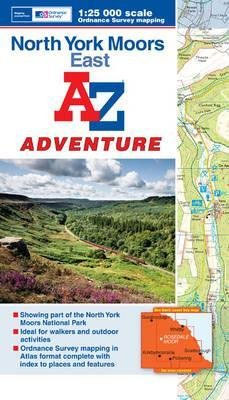
The eastern part of the North Yorkshire Moors at 1:25,000 in a series of handy A5 size Adventure Atlases from Geographers` A-Z Map Company with cartography from the Ordnance Survey’s Explorer series. Coverage includes Whitby, Scarborough, Thornton-le-Dale, Pickering, Kirkbymoorside, Castleton and Loftus.To see other titles in this series please click on the series link.A-Z Adventure
Southport – Formby – Ormskirk – Skelmersdale A-Z Street Atlas
Southport, Formby, Ormskirk and Skelmersdale Street Atlas from the Geographers` A-Z Map Company in a paperback format slightly smaller than A5. Map scale is 1:15,840 (4″ to a mile). Coverage includes Ainsdale, Aughton, Burscough, Hightown, Ince Blundell, Up Holland and Woodvale. Current edition of this title was published in 2012.To see other titles in this
Manchester Premier A-Z Map
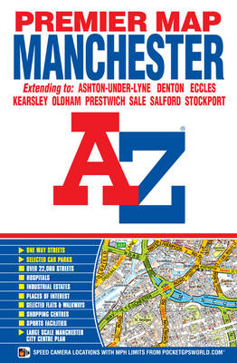
Manchester Premier Street Plan from Geographers` A-Z Map Company designed to cover the city within its administrative boundaries, with a separate comprehensive index booklet listing streets, places and areas, industrial estates, selected flats and walkways, service areas, stations, and selected places of interest, shown where appropriate with their postcodes.The city is covered at 3.4 inches
Torbay – Brixham – Paignton – Torquay A-Z Street Atlas
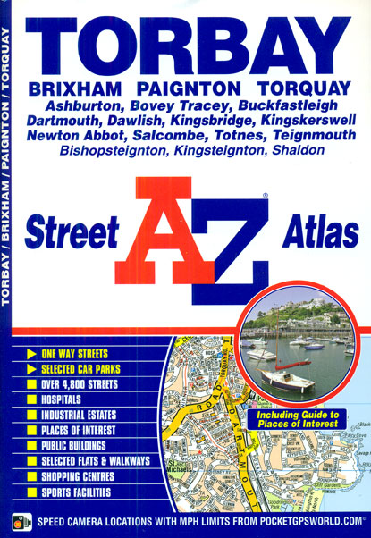
Torbay, Brixham, Dartmouth, Paignton, Torquay and Totnes Street Atlas from the Geographers` A-Z Map Company in a paperback format slightly smaller than A5. Map scale is 1:15,840 (4″ to a mile), with an enlargement showing the town centre of Dartmouth in greater detail at 1:7,920 (8″ to 1 mile), plus a 7-page guide to the
Glasgow – Edinburgh & Central Scotland A-Z Road Map
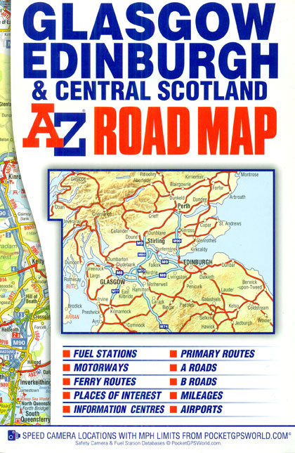
Central Scotland including Glasgow and Edinburgh on an indexed road map at 1:200,000 (1″ to 3 miles) from A-Z. Coverage extends north to Loch Rannoch and Pitlochry in the Highlands, and south to Ayr. The index is next to the map. Current edition was published in 2012.Mapping in this regional series from A-Z has clear
Peak District – Dark Peak A-Z Adventure Atlas
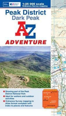
Peak District: Dark Peak Adventure Atlas at 1:25,000 in a series of handy A5 size Adventure Atlases from Geographers` A-Z Map Company with cartography from the Ordnance Survey’s Explorer series. Coverage includes Glossop, Hadfield, Stocksbridge, Chapel-en-le-Frith, Hope, Bamford, New Mills, Castleton, Bradwell, Hayfield, Tintwistle, Greenfield, Diggel, Meltham, Edale ‘“ the starting point of the Pennine
Scotland North & South A-Z Road Map
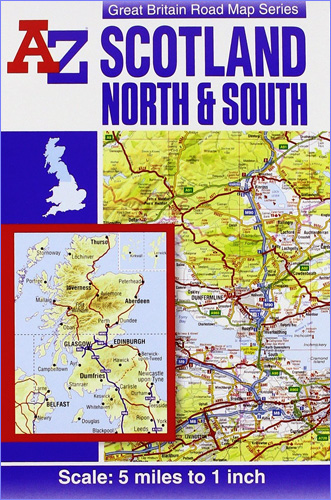
Scotland at 1:316,800 (5 miles to 1 inch) on a double-sided road map from A-Z. Coverage extends south to Blackpool and York, to include the Lake District and Yorkshire Dales, but the map has no overlap between the sides. The index is in a separate booklet attached to the map cover. Current edition of this
A to Z Atlas And Guide To London And Suburbs 1938/9
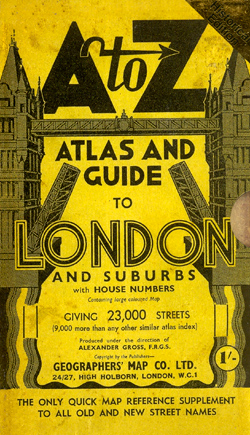
The A to Z Atlas and Guide to London and Suburbs 1938/9 is a historical reproduction atlas that affords a nostalgic look back to a time now rapidly becoming beyond living memory. This was a city of trams and trolley buses, still cloaked in the black sooty grime of Victorian industry, bedeviled by winter smogs.This
Devon – Cornwall – West Somerset A-Z Visitors` Atlas & Guide
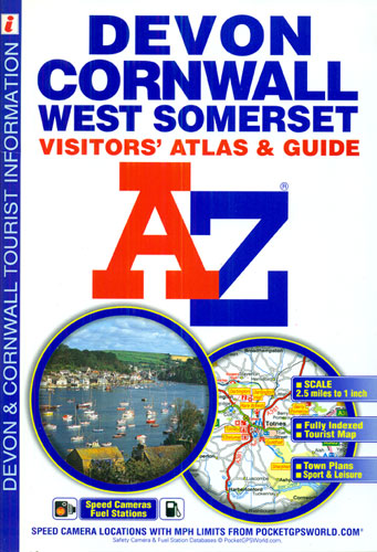
Devon, Cornwall and West Somerset road atlas from Geographers’ A-Z Map Company covering the region at 1:158,400 (1″ to 2.5 miles), plus street plans and tourist information for 25 local towns. Numerous places of interest are prominently highlighted on the map and the plans, plus listed in an extensive index. Coverage along the northern coast
Hastings – Bexhill – St. Leonards – Rye A-Z Street Atlas
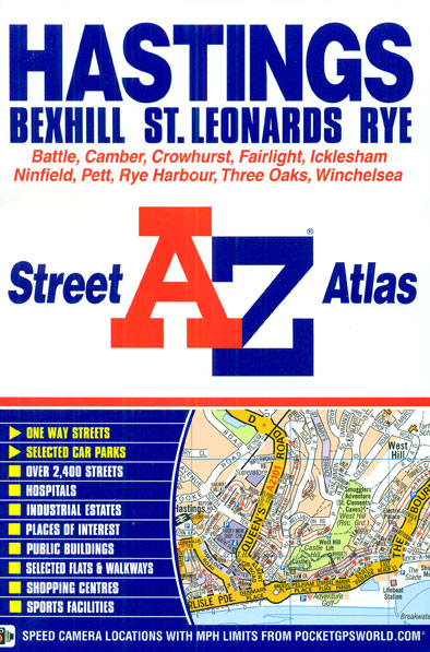
Hastings, Bexhill, St. Leonards and Rye Street Atlas from the Geographers` A-Z Map Company in a paperback format slightly smaller than A5. Map scale is 1:15,840 (4″ to a mile). Coverage includes Battle, Camber, Crowhurst, Fairlight, Icklesham, Ninfield, Pett, Rye Harbour, Three Oaks and Winchelsea. Current edition of this title was published in 2011.To see