Category Archives: Maps
Himalaya: The Exploration and Conquest of the Greatest Mountains on Earth
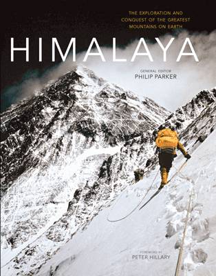
At some 1500 miles long and 250 miles at its widest the Himalaya range is home to the fourteen greatest mountain peaks on the planet each of which towers over 8,000 metres. Celebrated by the region`s early ancient kingdoms, many of these peaks remain sacred in both the Hindu and Buddhist religions and have additionally
A Secret Well Kept: The Untold Story of Sir Vernon Kell, Founder of MI5
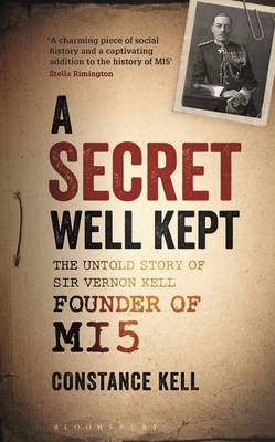
The United Kingdom`s domestic counter-intelligence and security agency, most commonly known as MI5, was founded in 1909 by Sir Vernon Kell KBE. Kell (`K` within the agency) not only founded MI5 but was also its Director for 31 years, the longest tenure of any head of a British government department during the twentieth century. Kell
Mapping Shakespeare: An exploration of Shakespeare`s worlds through maps
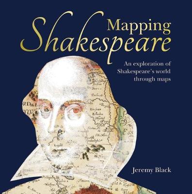
William Shakespeare`s lifetime (1564-1616) spanned the reigns of the last of the Tudors, Elizabeth I and the first of the Stuart kings, James I and the changing times and political mores of the time were reflected through his plays. This beautiful new book looks at the England in which Shakespeare worked through maps and illustrations
Bradshaw`s Railway Map Great Britain and Ireland 1852
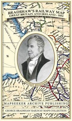
Especially for those who have obtained the recent facsimile copy of George Bradshaw`s tourist`s guide book. This detailed and attractive map clearly shows the many railways that had been built at the height of “Railway Mania” along with hundreds of railway stations throughout Great Britain and Ireland, allowing the enthusiast to follow the routes from
Isle of Wight A-Z Street Atlas
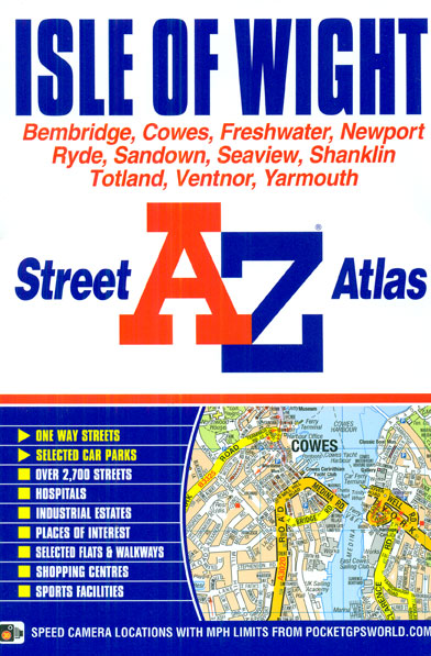
Isle of Wight Street Atlas from the Geographers` A-Z Map Company in a paperback format slightly smaller than A5. Map scale is 1:19,000 (3.33″ to a mile). Coverage includes Bembridge, Cowes, Freshwater, Newport, Ryde, Sandown, Seaview, Shanklin, Totland, Ventnor and Yarmouth. Current edition of this title was published in 2013.To see other titles in this
Bradshaw`s Railway Map Central Europe 1913
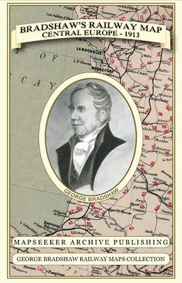
Especially for those who have obtained the recent facsimile copy of George Bradshaw`s Railway Tourist`s Guide Book of Europe 1913. This detailed Bradshaw`s railway map clearly shows the many railways that were travelled just prior to the outbreak of the First World War. Originally published in 1913 by Bradshaw and Blacklock, this is the map
Devon & Cornwall A-Z Road Map
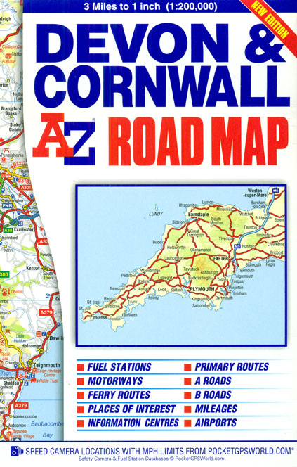
Devon and Cornwall on an indexed road map at 1:200,000 (1″ to 3 miles) from A-Z. Coverage along the north coast extends to Weston-super-Mare, and on the south coast to Lyme Regis and Bridport in Dorset. The index is next to the map. Current edition was published in 2016.Mapping in this regional series from A-Z
A Collection of Four Historic Maps of Cambridgeshire from 1611-1836
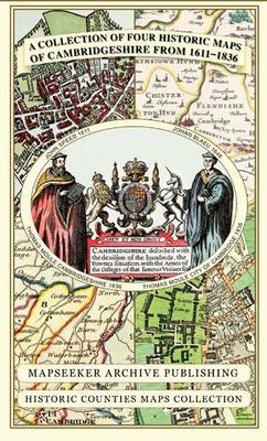
A collection of four historic maps of Cambridgeshire from 1611-1836.John Speed, 1611; Johan Blaeu, 1648; Thomas Moule Cambridgeshire, 1836; Thomas Moule City of Cambridge, 1836.A historic souvenir for visiting tourists to Cambridgeshire as well as a valuable reference resource for local and family history research.
Burton upon Trent – Ashby-de-la-Zouch – Coalville – Swadlincote A-Z Street Atlas
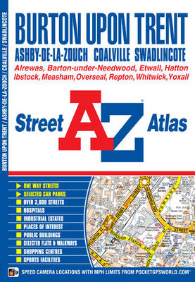
Burton upon Trent, Ashby-de-la-Zouch, Coalville and Swadlincote Street Atlas from the Geographers` A-Z Map Company in a paperback format slightly smaller than A5. Map scale is 1:19,000 (3.33″ to a mile). Coverage includes Alrewas, Barton-under-Needwood, Etwall, Hatton, Ibstock, Measham, Overseal, Repton, Whitwick and Yoxall. Current edition of this title was published in 2013.To see other
Journey of the Magi
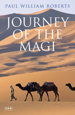
Who were the Magi and why did they travel hundreds of miles to worship a newborn child? These are mysteries that have endured and remained unsolved for centuries, in part because nativity accounts and descriptions of the Magi vary dramatically – from the Bible itself to the Arabic Nativity Gospel. Intrigued by Marco Polo`s claim
Isle of Wight A-Z Visitors` Map
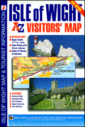
The Isle of Wight Visitors’ Map at 1:42,240 (.5″ to 1 mile) from A-Z with prominent highlighting of places of interest also listed in a separate index with contact details and brief descriptions, plus street plans of Freshwater and Totland, Newport, Cowes, Ryde, Ventnor and Shanklin, also with descriptions. Topography of the island is shown
Pennine Way South Adventure Atlas: Edale – Bowes SUPERCEDED
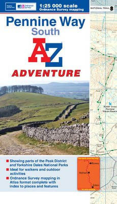
The Pennine Way South Adventure Atlas, presenting the southern section of the route between Edale and Bowes near Barnard Castle on mapping at 1:25,000 in a series of handy A5 size Adventure Atlases from Geographers` A-Z Map Company with cartography from the Ordnance Survey’s Explorer series. To see other titles in this series please click
Tasting Georgia: A Food and Wine Journey in The Caucasus

One of Newsweek`s 6 best travel books of the last decade. Winner Guild of Food Writers, Food and Travel Award 2018. Winner Best Food Book of 2017, Gourmand Cookbook Awards. Shortlisted for the Art of Eating Prize. Shortlisted for the IACP, Culinary Travel Book Award. Award-winning food and wine writer and photographer Carla Capalbo has
Battleship Yamato: Of War, Beauty and Irony

Winner of the 2018 Edward Stanford Travel Writing Award`s Outstanding Contribution to Travel WritingThe battleship Yamato, of the Imperial Japanese Navy, wasthe most powerful warship of World War II and representedthe climax, as it were, of the Japanese warrior traditions of thesamurai – the ideals of honour, discipline, and self-sacrificethat had immemorially ennobled the Japanese
1001 TV Series

This is the ultimate book for the Netflix and boxset generation, featuring all the greatest drama series ever broadcast as well as the weirdest game shows, controversial reality TV experiments and breathtaking nature documentaries. It is a must for anyone who wants to know why India`s Ramayan is legendary, why Roots was groundbreaking, or what
Black Narcissus: A Virago Modern Classic
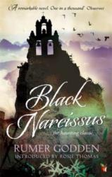
High in the Himalayas near Darjeeling, the old mountaintop palace shines like a jewel. When it was the General`s `harem` palace, richly dressed ladies wandered the windswept terraces; at night, music floated out over the villages and gorges. Now, the General`s son has bestowed it on an order of nuns, the Sisters of Mary. Well-intentioned
Breakfast with the Nikolides: A Virago Modern Classic

For Emily Pool, India is a magical place where she has the freedom to escape her mother`s suffocating influence. Her days are spent exploring the canals and gardens of East Bengal, and admiringly observing her glamorous, dignified neighbours, the Nikolides. But just as the cracks in Emily`s family home are papered over, so do the
Great Britain A-Z REVERSIBLE Road Map
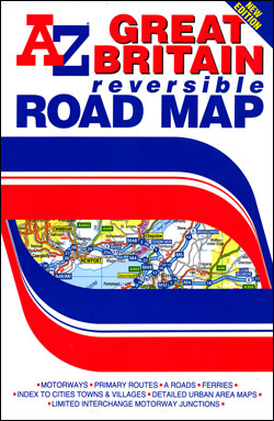
Great Britain road map, double-sided version at 1:600,000 (1″ to 9.47 miles approx.) from the Geographers` A-Z Map Company presenting the country’s road network on a clear, uncluttered base with administrative and topographic information. The map is available in two versions, both carrying the same information, and shows:- Motorway network with full or limited interchanges
Wales A-Z Regional Road Atlas
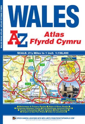
Wales Road Atlas at 1:158,400 (1″ to 2.5 miles) from A-Z, with town centre street plans of Cardiff, Aberystwyth, Bangor, Caernarfon, Carmarthen, Chester, Colwyn Bay, Hereford, Llandudno, Llanelli, Merthyr Tydfil, Newport, Prestatyn, Rhyl, Shrewsbury, Swansea and Wrexham, plus enlargement showing in greater detail access to Cardiff International Airports and the ferry terminals in Fishguard, Holyhead
Basingstoke- Andover – Overton – Whitchurch A-Z Street Atlas
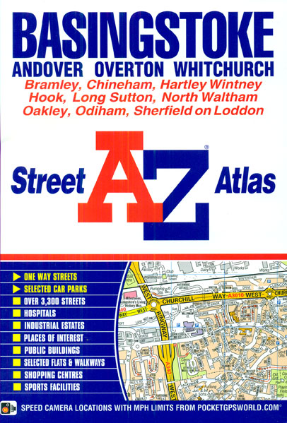
Basingstoke, Andover, Overton and Whitchurch Street Atlas from the Geographers` A-Z Map Company in an A5 paperback format at 1:19,000 (3.33″ to a mile). Coverage includes Bramley, Chineham, Hartley Witney, Hook, Long Sutton, North Waltham, Oakley, Odiham and Sherfield on Loddon. Current edition of this title was published in 2013.To see other titles in this