Category Archives: Maps
M45 Tuscan Archipelago
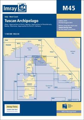
Imray’s series of charts of the Mediterranean are comprehensive and easy-to-use sailing charts published on rip-proof, waterproof paper- ideal for use on small tables or in cockpits. They show detailed coastline and depth information, and are constantly corrected to reflect latest information. Designed primarily for yachtsmen, they are comprehensive without being unnecessarily cluttered.Each chart contains
C38 Anse de Bรฉnodet to Presqu`รฎle de Quiberon
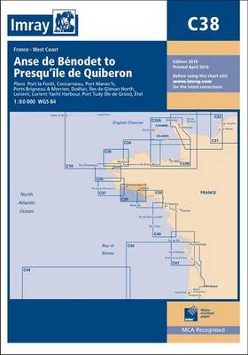
Plans included in this chart:Port la Forรชt (1:15 000)Concarneau (1:15 000)Port Manec’h (1:35 000)Ports Brigneau & Merrien (1:20 000)Doรซlan (1:15 000)รles de Glรฉnan North (1:30 000)Lorient (1:35 000)Lorient Yacht Harbour (1:10 000)Port Tudy (รle de Groix) (1:10 000)รtel (1:35 000)
The River Nene SUPERCEDED
A map and guide to the River Nene from Peterborough (Dog-in-a-Doublet Lock) to Northampton, including the Grand Union Canal, Northampton Arm. Despite being listed as a map, the commentary, descriptions & essential notes are very comprehensive.
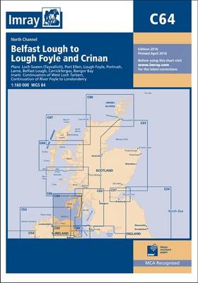
C66 Mallaig to Rubha Reidh and Outer Hebrides
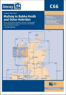
This Imray’s series of charts for the Western Europe includes comprehensive and easy-to-use sailing charts published on rip-proof, waterproof paper- ideal for use on small tables or in cockpits. They show detailed coastline and depth information, and are constantly corrected to reflect latest information. Designed primarily for yachtsmen, they are comprehensive without being unnecessarily cluttered.Each
M34 Golfo di Venezia
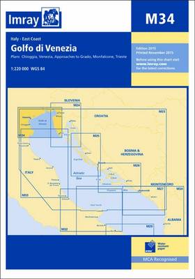
Imray’s series of charts of the Mediterranean are comprehensive and easy-to-use sailing charts published on rip-proof, waterproof paper- ideal for use on small tables or in cockpits. They show detailed coastline and depth information, and are constantly corrected to reflect latest information. Designed primarily for yachtsmen, they are comprehensive without being unnecessarily cluttered.This chart is
G35 Dodecanese and the Coast of Turkey
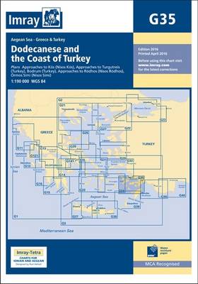
G35 Dodecanese and the Coast of Turkey 1:190,000 WGS 84
G13 Gulfs of Patras and Corinth
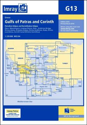
Imray’s series of charts of Greece and Turkey are comprehensive and easy-to-use sailing charts published on rip-proof, waterproof paper- ideal for use on small tables or in cockpits. They show detailed coastline and depth information, and are constantly corrected to reflect latest information. Designed primarily for yachtsmen, they are comprehensive without being unnecessarily cluttered.This chart
C64 Belfast Lough to Lough Foyle and Crinan
This Imray’s series of charts for the Western Europe includes comprehensive and easy-to-use sailing charts published on rip-proof, waterproof paper- ideal for use on small tables or in cockpits. They show detailed coastline and depth information, and are constantly corrected to reflect latest information. Designed primarily for yachtsmen, they are comprehensive without being unnecessarily cluttered.Each
M29 Golfo di Taranto
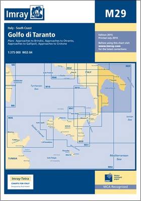
Imray’s series of charts of the Mediterranean are comprehensive and easy-to-use sailing charts published on rip-proof, waterproof paper- ideal for use on small tables or in cockpits. They show detailed coastline and depth information, and are constantly corrected to reflect latest information. Designed primarily for yachtsmen, they are comprehensive without being unnecessarily cluttered.Each chart contains
Great Britain: Inland Waterways Map
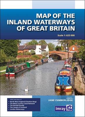
The revised edition covers changes to the restored Droitwich Canal, Fenland waterways, Norfolk Broads and the Wey and Arun Canal which is undergoing restoration. The inset plan of the London area has been extended eastwards to show the location of the Olympic Park and rivers around it. “Fully revised to include changes to the Droitwich
G36 Marmaris to Kekova Adasi
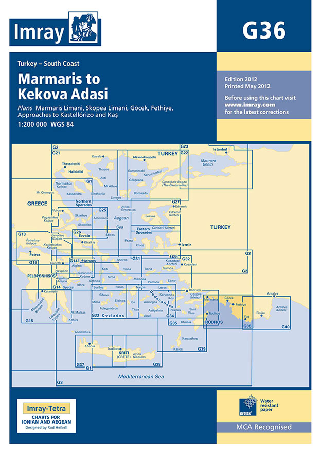
Imray’s series of charts of Greece and Turkey are comprehensive and easy-to-use sailing charts published on rip-proof, waterproof paper- ideal for use on small tables or in cockpits. They show detailed coastline and depth information, and are constantly corrected to reflect latest information. Designed primarily for yachtsmen, they are comprehensive without being unnecessarily cluttered.This chart
G26 Nisos Evvoia
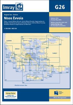
Imray’s series of charts of Greece and Turkey are comprehensive and easy-to-use sailing charts published on rip-proof, waterproof paper- ideal for use on small tables or in cockpits. They show detailed coastline and depth information, and are constantly corrected to reflect latest information. Designed primarily for yachtsmen, they are comprehensive without being unnecessarily cluttered.This chart
M33 Adriatic Italy North
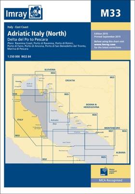
Imray’s series of charts of the Mediterranean are comprehensive and easy-to-use sailing charts published on rip-proof, waterproof paper- ideal for use on small tables or in cockpits. They show detailed coastline and depth information, and are constantly corrected to reflect latest information. Designed primarily for yachtsmen, they are comprehensive without being unnecessarily cluttered.This chart is
G39 Nisos Karpathos to Nisos Rodhos
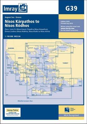
Imray’s series of charts of Greece and Turkey are comprehensive and easy-to-use sailing charts published on rip-proof, waterproof paper- ideal for use on small tables or in cockpits. They show detailed coastline and depth information, and are constantly corrected to reflect latest information. Designed primarily for yachtsmen, they are comprehensive without being unnecessarily cluttered.This chart
M32 Adriatic Italy South
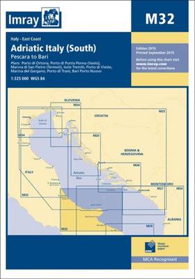
Imray’s series of charts of the Mediterranean are comprehensive and easy-to-use sailing charts published on rip-proof, waterproof paper- ideal for use on small tables or in cockpits. They show detailed coastline and depth information, and are constantly corrected to reflect latest information. Designed primarily for yachtsmen, they are comprehensive without being unnecessarily cluttered.Each chart contains
M16 Ligurian Sea
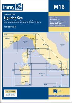
Plans included: San Remo (1:15,000) Approaches to Genova (1:75,000) Golfo Marconi (1:40,000) Approaches to La Spezia (1:37,500) Viareggio (1:20,000) Approaches to Livorno (1:50,000) For this 2014 edition, the plan of Golfo Marconi has been expanded eastwards to include Chiavari and Lavagna. In order to accommodate this change, the Approaches to Livorno plan has been reschemed
M31 Sicily
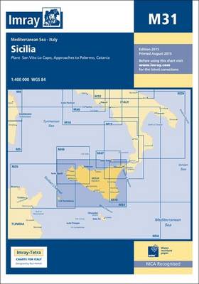
Imray’s series of charts of the Mediterranean are comprehensive and easy-to-use sailing charts published on rip-proof, waterproof paper- ideal for use on small tables or in cockpits. They show detailed coastline and depth information, and are constantly corrected to reflect latest information. Designed primarily for yachtsmen, they are comprehensive without being unnecessarily cluttered.Each chart contains
M9 South Sardegna SUPERCEDED
Imray’s series of charts of the Mediterranean are comprehensive and easy-to-use sailing charts published on rip-proof, waterproof paper- ideal for use on small tables or in cockpits. They show detailed coastline and depth information, and are constantly corrected to reflect latest information. Designed primarily for yachtsmen, they are comprehensive without being unnecessarily cluttered.Each chart contains
Antarctic Atlas: New Maps and Graphics That Tell the Story of A Continent
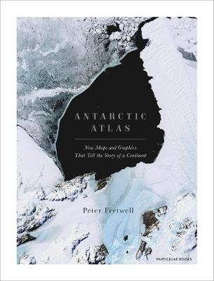
One of the least-known places on the planet, the only continent on earth with no indigenous population, Antarctica is a world apart. From a leading cartographer with the British Antarctic Survey, this new collection of maps and data reveals Antarctica as we have never seen it before.This is not just a book of traditional maps.
A Buddhist Monk`s Guide to a Clean House and Mind

Cleanliness is next to enlightenment. In this Japanese bestseller a Buddhist monk explains the traditional meditative techniques that will help cleanse not only your house – but your soul.Live clean. Feel calm. Be happy. We remove dust to sweep away our worldly cares. We live simply and take time to contemplate the self, mindfully living