Category Archives: Maps
Lisbon Pocket Map
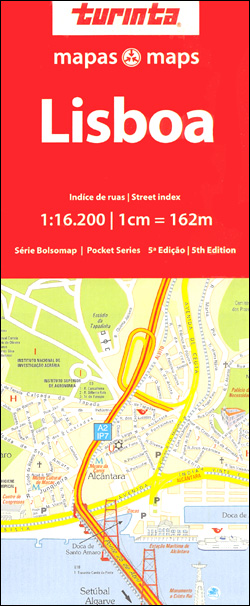
Lisbon on an informative and clear street plan at 1:16,200 from Turinta, Portugal’s leading map publisher. Map coverage extends from Doca de Alcantara in the south to Ameixoeira in the north, and from Parque das Naรงรตes in the east to Linda a Velha in the west. Main sites and places of interest are prominently highlighted.Colours
Alentejo Turinta
Alentejo in a series of detailed, indexed touring maps from Turinta, the country’s leading map publishers, each with street plans of main towns. The map has altitude colouring and highlights protected areas, including the Vale do Guadiana Natural Park. Road network includes local country roads, most with driving distances. Railway lines are shown with stations.
Monchique
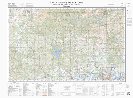
Topographic survey of Portugal at 1:50,000 from the Instituto Geogrรกfico do Exรฉrcito, the country’s military survey organisation. The maps have contours at 20m intervals and in addition to the standard features shown on topographic mapping at this scale also indicate various types of terrain or vegetation (sand, terraces, rocks, woodlands, vineyards, etc). Each sheet covers
Castro Marim

Topographic survey of Portugal at 1:50,000 from the Instituto Geogrรกfico do Exรฉrcito, the country’s military survey organisation. The maps have contours at 20m intervals and in addition to the standard features shown on topographic mapping at this scale also indicate various types of terrain or vegetation (sand, terraces, rocks, woodlands, vineyards, etc). Each sheet covers
Sintra Cascais Nature Park
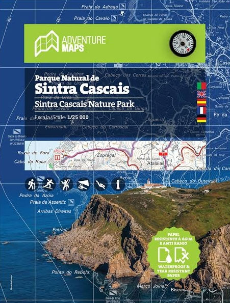
This hiking and trekking map of the Natural Park of Sintra and Cascais by Adventure Maps is at a scale of 1:25,000. The map legend includes Portuguese, English, Spanish, French and German. The map shows hiking trails and there is relevant tourist information on diving, climbing, surfing, hang gliding, monuments, among others. It is made
Peneda-Geres National Park
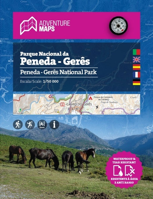
This hiking and trekking map of the Natural Park of Peneda-Geres by Adventure Maps is at a scale of 1:50,000. It is published in five languages (Portuguese, English, Spanish, French and German). It includes hiking trails and relevant tourist information on canyoning, climbing, monuments, waterfalls, among others. It is made of anti-tear and water resistant
Santo Estevao

Topographic survey of Portugal at 1:50,000 from the Instituto Geogrรกfico do Exรฉrcito, the country’s military survey organisation. The maps have contours at 20m intervals and in addition to the standard features shown on topographic mapping at this scale also indicate various types of terrain or vegetation (sand, terraces, rocks, woodlands, vineyards, etc). Each sheet covers
Redondo

Topographic survey of Portugal at 1:50,000 from the Instituto Geogrรกfico do Exรฉrcito, the country’s military survey organisation. The maps have contours at 20m intervals and in addition to the standard features shown on topographic mapping at this scale also indicate various types of terrain or vegetation (sand, terraces, rocks, woodlands, vineyards, etc). Each sheet covers
Gaviao

Topographic survey of Portugal at 1:50,000 from the Instituto Geogrรกfico do Exรฉrcito, the country’s military survey organisation. The maps have contours at 20m intervals and in addition to the standard features shown on topographic mapping at this scale also indicate various types of terrain or vegetation (sand, terraces, rocks, woodlands, vineyards, etc). Each sheet covers
Torres Novas

Topographic survey of Portugal at 1:50,000 from the Instituto Geogrรกfico do Exรฉrcito, the country’s military survey organisation. The maps have contours at 20m intervals and in addition to the standard features shown on topographic mapping at this scale also indicate various types of terrain or vegetation (sand, terraces, rocks, woodlands, vineyards, etc). Each sheet covers
Rio de Janeiro de Dios CityMap
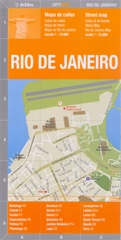
Rio de Janeiro in a series of light, laminated and waterproof concertina street plans of Latin American capitals and main cities, designed to present each city’s most visited areas. The plans are indexed and include diagrams of metro networks.The plan of Rio de Janeiro at 1:12,000 covers the districts along the Atlantic Ocean, from the
Bikes of Burden

It is the motorbike that makes Vietnam tick. In Saigon alone, two million ply the streets. People commute by bike, father take their kids to school by bike (you`d be surprised how many at a time!), and products find their way to the consumers by motorbike. The bike as backbone of the economy the bike
North Argentina de Dios Regional Map

North-western Argentina on a handy size, waterproof and tear-resistant concertina map from the Buenos Aires-based De Dios providing an overview road map of the region, five additional more detailed panels showing recommendations for sightseeing circuits, plus four street plans. This 2007 version of this title includes:- An overview map at 1:4,500,000 of the whole region,
Cambodia: Leap and Hop Series

Leap & Hop is a series of travel books written especially for children by Isabelle Demenge with illustrations by Emilie Sarnel. The idea of the series is to turn a “grown-up” trip into a fun adventure for children. These interactive books aim at getting children to discover new places and learn about other cultures through
India: Leap and Hop Series

Leap & Hop India By Isabelle Demenge Illustration by Emilie SarnelLeap & Hop is a series of travel books written especially for children by Isabelle Demenge with illustrations by Emilie Sarnel. The idea of the series is to turn a “grown-up” trip into a fun adventure for children. These interactive books aim at getting children
Sri Lanka: Leap and Hop Series

Leap & Hop is a series of travel books written especially for children by Isabelle Demenge with illustrations by Emilie Sarnel. The idea of the series is to turn a “grown-up” trip into a fun adventure for children. These interactive books aim at getting children to discover new places and learn about other cultures through


