Category Archives: Maps
M14 Barcelona to Bouches du Rhone
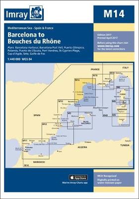
Plans included: Barcelona Harbour (1:65,000) Barcelona Port Vell (1:15,000) Palamos (1:15,000) Puerto de L`Escala (1:10,000) Roses (1:30,000) Port Vendres (1:17,500) St-Cyprien-Plage (1:15,000) Cap d`Agde (1:20,000) Sete (1:22,500) Puerto Olimpico (1:15,000) For this 2013 edition, the latest known depths and harbour developments are shown at Barcelona. Harbour developments are also shown at Puerto de l`Escala, and
C37 Raz de Sein To Benodet

Chart of the Raz de Sein to Benodet in Imray’s series of charts of Northwest Europe, which are comprehensive and easy-to-use sailing charts published on rip-proof, waterproof paper- ideal for use on small tables or in cockpits. They show detailed coastline and depth information, and are constantly corrected to reflect latest information. The C Charts
M25 Otok Rab to Sibenik
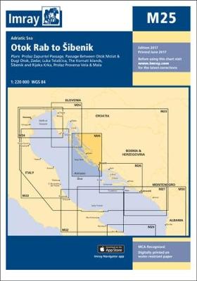
Imray’s series of charts of the Mediterranean are comprehensive and easy-to-use sailing charts published on rip-proof, waterproof paper- ideal for use on small tables or in cockpits. They show detailed coastline and depth information, and are constantly corrected to reflect latest information. Designed primarily for yachtsmen, they are comprehensive without being unnecessarily cluttered.Each chart contains
M26 Split to Dubrovnik
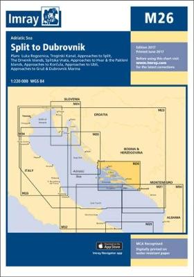
Imray’s series of charts of the Mediterranean are comprehensive and easy-to-use sailing charts published on rip-proof, waterproof paper- ideal for use on small tables or in cockpits. They show detailed coastline and depth information, and are constantly corrected to reflect latest information. Designed primarily for yachtsmen, they are comprehensive without being unnecessarily cluttered.This chart includes
M50 Sardegna to Ionian Sea
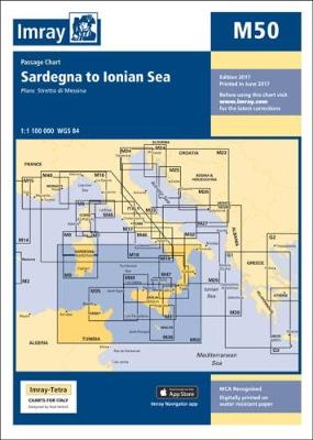
Imray’s series of charts of the Mediterranean are comprehensive and easy-to-use sailing charts published on rip-proof, waterproof paper- ideal for use on small tables or in cockpits. They show detailed coastline and depth information, and are constantly corrected to reflect latest information. Designed primarily for yachtsmen, they are comprehensive without being unnecessarily cluttered.Each chart contains
C56 Cork Harbour to Dingle Bay
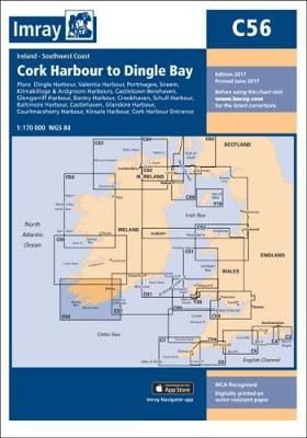
This Imray’s series of charts for the Western Europe includes comprehensive and easy-to-use sailing charts published on rip-proof, waterproof paper- ideal for use on small tables or in cockpits. They show detailed coastline and depth information, and are constantly corrected to reflect latest information. Designed primarily for yachtsmen, they are comprehensive without being unnecessarily cluttered.Each
C68 Cape Wrath to Wick and the Orkney Islands
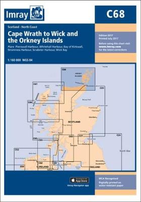
This Imray’s series of charts for the Western Europe includes comprehensive and easy-to-use sailing charts published on rip-proof, waterproof paper- ideal for use on small tables or in cockpits. They show detailed coastline and depth information, and are constantly corrected to reflect latest information. Designed primarily for yachtsmen, they are comprehensive without being unnecessarily cluttered.Each
C39 Lorient To Le Croisic
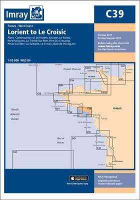
This Imray’s series of charts for the Western Europe includes comprehensive and easy-to-use sailing charts published on rip-proof, waterproof paper- ideal for use on small tables or in cockpits. They show detailed coastline and depth information, and are constantly corrected to reflect latest information. Designed primarily for yachtsmen, they are comprehensive without being unnecessarily cluttered.Each
C60 Gower Peninsula to Cardigan
Plans included:Fishguard (1:30 000)Ramsey Sound (1:35 000)Solva Harbour & Approaches (1:40 000)Jack Sound (1:20 000)Milford Haven (1:40 000)Tenby & Caldey Island (1:45 000)
C33A Channel Islands
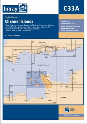
This Imray’s series of charts for the Western Europe includes comprehensive and easy-to-use sailing charts published on rip-proof, waterproof paper- ideal for use on small tables or in cockpits. They show detailed coastline and depth information, and are constantly corrected to reflect latest information. Designed primarily for yachtsmen, they are comprehensive without being unnecessarily cluttered.Each
G37 Nisos Kriti (West)
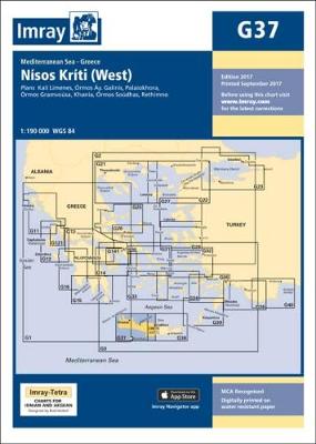
Plans: Kali Limenes Ormos Ay. Galinis Palaiokhora Ormos Gramvousa Khania Ormos Soudhas Rethimno.
C63 Firth of Clyde
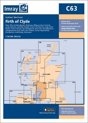
This Imray’s series of charts for the Western Europe includes comprehensive and easy-to-use sailing charts published on rip-proof, waterproof paper- ideal for use on small tables or in cockpits. They show detailed coastline and depth information, and are constantly corrected to reflect latest information. Designed primarily for yachtsmen, they are comprehensive without being unnecessarily cluttered.Each
C14 Plymouth Harbour and Rivers
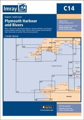
This Imray’s series of charts for the Western Europe includes comprehensive and easy-to-use sailing charts published on rip-proof, waterproof paper- ideal for use on small tables or in cockpits. They show detailed coastline and depth information, and are constantly corrected to reflect latest information. Designed primarily for yachtsmen, they are comprehensive without being unnecessarily cluttered.Each
M6 Ile de Corse
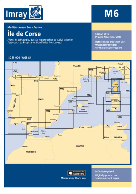
Imray’s series of charts of the Mediterranean are comprehensive and easy-to-use sailing charts published on rip-proof, waterproof paper- ideal for use on small tables or in cockpits. They show detailed coastline and depth information, and are constantly corrected to reflect latest information. Designed primarily for yachtsmen, they are comprehensive without being unnecessarily cluttered.Each chart contains
Strange Weather in Tokyo

Tsukiko is in her late 30s and living alone when one night she happens to meet one of her former high school teachers, `Sensei`, in a bar. He is at least thirty years her senior, retired and, she presumes, a widower. After this initial encounter, the pair continue to meet occasionally to share food and
M7 Bonifacio Strait

Imray’s series of charts of the Mediterranean are comprehensive and easy-to-use sailing charts published on rip-proof, waterproof paper- ideal for use on small tables or in cockpits. They show detailed coastline and depth information, and are constantly corrected to reflect latest information. Designed primarily for yachtsmen, they are comprehensive without being unnecessarily cluttered.Each chart contains
C57 Tuskar Rock to Old Head of Kinsale

This Imray’s series of charts for the Western Europe includes comprehensive and easy-to-use sailing charts published on rip-proof, waterproof paper- ideal for use on small tables or in cockpits. They show detailed coastline and depth information, and are constantly corrected to reflect latest information. Designed primarily for yachtsmen, they are comprehensive without being unnecessarily cluttered.Each
M17 North Tuscan Islands to Rome
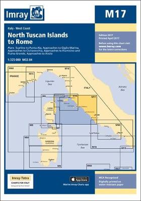
Plans included: Scarlino to Punta Ala (1:85,000) Approaches to Giglio Marina (1:10,000) Approaches to Civitavecchia (1:40,000) Approaches to Fiumicino and Fiuma Grande (1:50,000) Approaches to Anzio (1:50,000) For this 2014 edition the chart has been fully updated using revised depth data where applicable. Harbour developments are shown at Giglio Marina, Civitavecchia and Fiumicino. The full
The River Nene SUPERCEDED
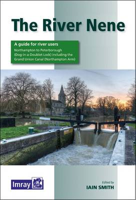
A map and guide to the River Nene from Peterborough (Dog-in-a-Doublet Lock) to Northampton, including the Grand Union Canal, Northampton Arm. Despite being listed as a map, the commentary, descriptions & essential notes are very comprehensive.
C66 Mallaig to Rubha Reidh and Outer Hebrides
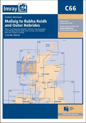
This Imray’s series of charts for the Western Europe includes comprehensive and easy-to-use sailing charts published on rip-proof, waterproof paper- ideal for use on small tables or in cockpits. They show detailed coastline and depth information, and are constantly corrected to reflect latest information. Designed primarily for yachtsmen, they are comprehensive without being unnecessarily cluttered.Each