Category Archives: Maps
Chadderton North 1932
North Chadderton and South-West Royton in 1932 in a fascinating series of reproductions of old Ordnance Survey plans in the Alan Godfrey Editions, ideal for anyone interested in the history of their neighbourhood or family. The map covers North Chadderton and south-western Royton, with a small portion of Oldham around the Boundary Park football ground.
Holy Island & Seahouses 1898 – 4.1 Coloured Edition
Holy Island and Seahouses in 1898 in a series of reproductions of Ordnance Survey’s famous “Inch to the Mile” maps published in the Alan Godfrey Editions to provide a historical record of England and Wales in the second half of 19th and early 20th century.Two versions are available for this area, stretching from Holy Island
Lancaster and District 1896
Lancaster and District in 1896 in a series of reproductions of Ordnance Survey’s famous “Inch to the Mile” maps published in the Alan Godfrey Editions to provide a historical record of England and Wales in the second half of 19th and early 20th century.The map covers the area around Lancaster and Morecambe, extending eastward to
Durham City North: Framwellgate Moor 1895

Durham City North: Framwellgate Moor in 1895 in a fascinating series of reproductions of old Ordnance Survey plans in the Alan Godfrey Editions, ideal for anyone interested in the history of their neighbourhood or family. The map covers the northern part of Durham City; the area was quite empty in 1895, but now it includes
Garstang and District 1896
Garstang and District in 1896 in a series of reproductions of Ordnance Survey’s famous “Inch to the Mile” maps published in the Alan Godfrey Editions to provide a historical record of England and Wales in the second half of 19th and early 20th century.The map covers the area around and to the east of Garstang,
Brighton 1909 – 66.09
Brighton in 1909 in a fascinating series of reproductions of old Ordnance Survey plans in the Alan Godfrey Editions, ideal for anyone interested in the history of their neighbourhood or family. The map covers much of central and west Brighton, together with a large part of Hove. Coverage stretches from Old Steine and Grand Parade
South Ealing 1934 – 70.4
South Ealing in 1934 in a fascinating series of reproductions of old Ordnance Survey plans in the Alan Godfrey Editions, ideal for anyone interested in the history of their neighbourhood or family. Two versions of this map have been published, stretching from Elthorne Park eastward to Cedar Grove, and from Rathgar Avenue southward to Darwin
Ravenglass and Sellafield 1875
Ravenglass and Sellafield in 1875 in a series of reproductions of Ordnance Survey’s famous “Inch to the Mile” maps published in the Alan Godfrey Editions to provide a historical record of England and Wales in the second half of 19th and early 20th century.In this title extended coverage includes the coastal strip from just south
South Acton & Gunnersbury Park 1935 – 71.4
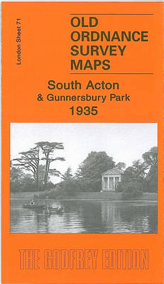
South Acton and Gunnersbury in 1935 in a fascinating series of reproductions of old Ordnance Survey plans in the Alan Godfrey Editions, ideal for anyone interested in the history of their neighbourhood or family. Two versions of this map have been published to show how the area developed across the years. The western half of
Ealing 1934
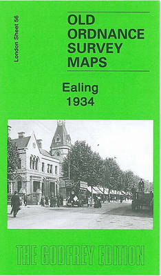
Ealing in 1934 in a fascinating series of reproductions of old Ordnance Survey plans in the Alan Godfrey Editions, ideal for anyone interested in the history of their neighbourhood or family. Two versions of this map show the area stretching from Eccleston Road eastward to Ealing Broadway and Windsor Road, and from Cleveland Road and
Chelmsford 1919

Chelmsford in 1919 in a fascinating series of reproductions of old Ordnance Survey plans in the Alan Godfrey Editions, ideal for anyone interested in the history of their neighbourhood or family. Chelmsford is covered by two maps. This title covers central Chelmsford and the area eastward to Barnes Lock and Barnes Mill, southward to Whitehouse
Wrexham North 1909
Wrexham North in 1909 in a fascinating series of reproductions of old Ordnance Survey plans in the Alan Godfrey Editions, ideal for anyone interested in the history of their neighbourhood or family. The map covers the northern part of Wrexham, stretching from Wrexham General station northward to Wrexham Colliery, and eastward to Rhosnesey. Features include
Shotts (West) 1939 – 13.06
Shotts West in 1939 in a fascinating series of reproductions of old Ordnance Survey plans in the Alan Godfrey Editions, ideal for anyone interested in the history of their neighbourhood or family. The map covers the western part of Shotts, stretching from School Street westward to Hartwoodhill. Features include Shotts station, Calderhead, Calderhead Foundry, Dykehead,
Pedmore 1921
Pedmore in 1921 in a fascinating series of reproductions of old Ordnance Survey plans in the Alan Godfrey Editions, ideal for anyone interested in the history of their neighbourhood or family. SThe map covers the village of Pedmore, just south of Stourbridge, and part of Hagley, including Hagley House and Rockingham Hall in the south-eastern
Camberley 1895
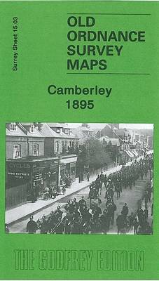
Camberley in 1895 in a fascinating series of reproductions of old Ordnance Survey plans in the Alan Godfrey Editions, ideal for anyone interested in the history of their neighbourhood or family. The map covers the small but growing town of Camberley and extends across the Berkshire border to show part of the Royal Military College.
Nenthead 1898
Nenthead in 1898 in a fascinating series of reproductions of old Ordnance Survey plans in the Alan Godfrey Editions, ideal for anyone interested in the history of their neighbourhood or family. The map is double-sided and covers the village of Nenthead which in the 19th century grew into a mining town of over 2,000 people,
Ripon, Thirsk and District 1891
Ripon, Thirsk and District in 1891 in a series of reproductions of Ordnance Survey’s famous “Inch to the Mile” maps published in the Alan Godfrey Editions to provide a historical record of England and Wales in the second half of 19th and early 20th century.The map stretches from West Tinfield eastward to Coxwold, and from
Glasgow St Rollox 1933
Glasgow St Rollox in 1933 in a fascinating series of reproductions of old Ordnance Survey plans in the Alan Godfrey Editions, ideal for anyone interested in the history of their neighbourhood or family. Two versions have been published for this area. Coverage stretches from Bishop Street eastward to Hobden Street, and from Gourlay Street southward
Liverpool Shaw Street 1848
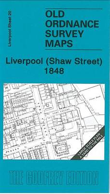
Shaw Street area of Liverpool in 1848 in a series of exceptionally detailed reproductions of old Ordnance Survey street plans for areas of larger cities which have undergone substantial redevelopment in the late 19th or the early 20th century, published in the Alan Godfrey Editions.The plans, printed in back and white, have been taken from
Bow, Bromley & West Ham 1867 – 53.1
Bow, Bromley and West Ham in 1867 in a fascinating series of reproductions of old Ordnance Survey plans in the Alan Godfrey Editions, ideal for anyone interested in the history of their neighbourhood or family. Three versions for this area have been published, stretching from Fairfield Road and Campbell Road eastward to Holbrook Road, and