Category Archives: Maps
Bhutan Great Himalaya Trail Map
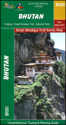
Bhutan: Great Himalaya Trail Map at 1:400,000 from the Kathmandu-based Nepa Maps with the overprint distinguishing between the course of the Great Himalaya Trail and other traditional trekking routes; plus a route profile of the GHT and other useful trekking information.Satellite-derived base provides a good representation of the country’s topography; main rivers, peaks and mountain
Setubal
Topographic survey of Portugal at 1:100,000 from the Instituto Geogrรกfico Portuguรชs, the country’s civilian survey organisation. The maps have contours at 50m intervals and in addition to the standard features shown on topographic mapping at this scale also indicate various types of vegetation (vineyards, olive groves, etc). Each sheet covers an area of 64 x
Best of Albania
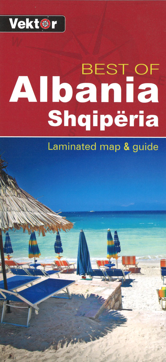
Best of Albania at 1:600,000 touring map from the Tirana-based cartographic publishers Vektor with a vivid presentation of the country’s topography through contours and bold altitude colouring, plus locations of campsites, beaches and other places of interest. Road network is graded into six types, from motorways to minor dirt roads, and indicates border crossings plus
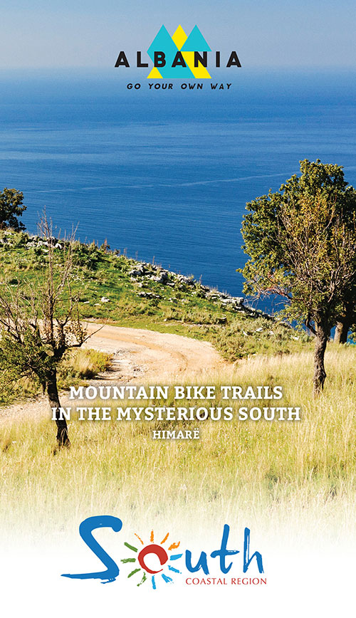
Himare Mountain Bike Trails Map/Guide
Himare Hiking Trails Map/Guide

The region of Himarรซ in the south of Albania on the Ionian coast is rich of a history at the crossroads of the Roman and Ottoman empires, with a marked Greek influence. Nickname “La Riviera” it offers splendid landscapes of garrigues with a continuous view on the sea of ??azure.The guide includes a presentation of
Fornos de Algodres
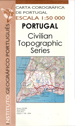
Topographic survey of Portugal at 1:50,000 from the Instituto Geogrรกfico Portuguรชs, the country’s civilian survey organisation. The maps have contours at 25m intervals and in addition to the standard features shown on topographic mapping at this scale also indicate various types of vegetation (vineyards, olive groves, etc). Each sheet covers an area of 32 x
Maps of Iceland: Antique Maps of Iceland 1482-1850
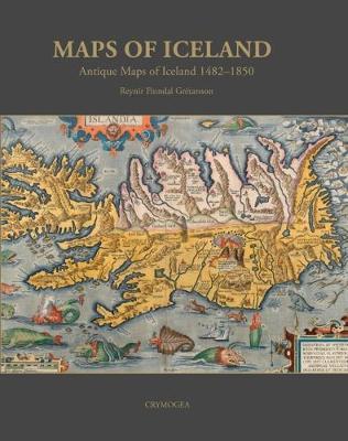
Maps of Iceland tells the story of how Iceland appeared on printed maps. The starting date is 1482 when the country appeared in the Ulmm publication of Ptolemy`s Geographica. The book traces the increase in interest and corresponding knowledge about Iceland and the far North. A region, which at the time was associated with mystique
Iceland Touring Map
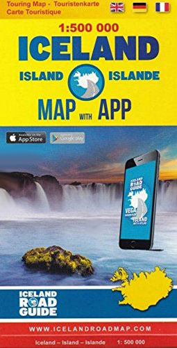
Touring map of Iceland at 1:500,000 from Vegahandbokin, with an index which includes topographic features presented in a separate booklet, plus on the reverse of the map photos and brief descriptions of various places of interest, etc.The map presents Iceland’s topography by bold if undifferentiated altitude colouring contracting the interior against the coastal areas. Main
Viseu

Topographic survey of Portugal at 1:100,000 from the Instituto Geogrรกfico Portuguรชs, the country’s civilian survey organisation. The maps have contours at 50m intervals and in addition to the standard features shown on topographic mapping at this scale also indicate various types of vegetation (vineyards, olive groves, etc). Each sheet covers an area of 64 x
Central Portugal Turinta
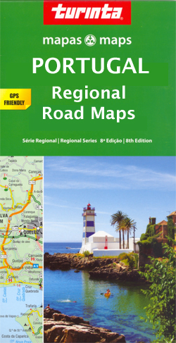
Central Portugal in a series of detailed, indexed touring maps from Turinta, the country’s leading map publishers, each with street plans of main towns. The map has altitude colouring, and highlights protected areas, including Serra da Estrela, as well as wetlands or marshes.Road network includes local country roads, most with driving distances. Railway lines are
Campo Maior

Topographic survey of Portugal at 1:100,000 from the Instituto Geogrรกfico Portuguรชs, the country’s civilian survey organisation. The maps have contours at 50m intervals and in addition to the standard features shown on topographic mapping at this scale also indicate various types of vegetation (vineyards, olive groves, etc). Each sheet covers an area of 64 x
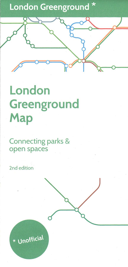
London Greenground Map
Tavira

Topographic survey of Portugal at 1:50,000 from the Instituto Geogrรกfico Portuguรชs, the country’s civilian survey organisation. The maps have contours at 25m intervals and in addition to the standard features shown on topographic mapping at this scale also indicate various types of vegetation (vineyards, olive groves, etc). Each sheet covers an area of 32 x
Southwest Alentejo and Vicentina Coast Nature Park
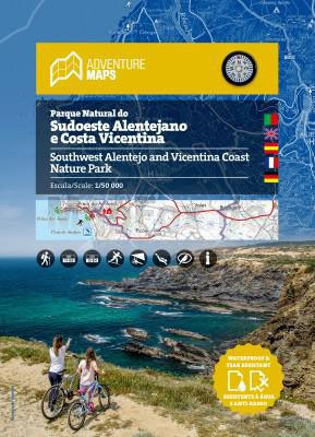
Map of Southwest Alentejo and Vicentina Coast Nature ParkTopographic map subtitled in Portuguese, English, Spanish, French and German, it includes the whole network of paths in the Nature Park, tourist attractions such as museums, beaches, camping sites, picnic areas, tourist offices, surf spots, bird watching, diving and free flight, among others.Covers:Aljezur | Cercal | Lagos
Porto Turinta Soft-Cover
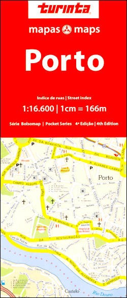
Porto on an informative and clear street plan at 1:16,600 from Turinta, Portugal’s leading map publisher, which covers the districts north and south of the River Douro and extending northwards to the city’s main port. Main sites and places of interest are prominently highlighted.The map covers the area within the IC1 and IP4 motorway ring
Lisbon Pocket Map
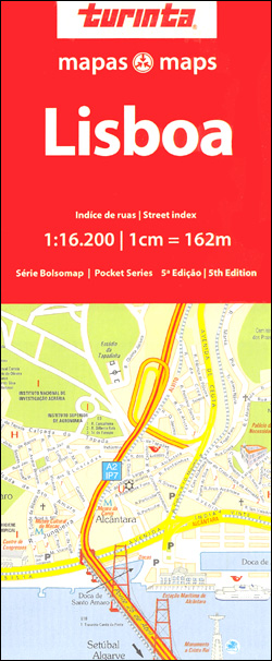
Lisbon on an informative and clear street plan at 1:16,200 from Turinta, Portugal’s leading map publisher. Map coverage extends from Doca de Alcantara in the south to Ameixoeira in the north, and from Parque das Naรงรตes in the east to Linda a Velha in the west. Main sites and places of interest are prominently highlighted.Colours
Alentejo Turinta
Alentejo in a series of detailed, indexed touring maps from Turinta, the country’s leading map publishers, each with street plans of main towns. The map has altitude colouring and highlights protected areas, including the Vale do Guadiana Natural Park. Road network includes local country roads, most with driving distances. Railway lines are shown with stations.
Algarve Turinta
Algarve in a series of detailed, indexed touring maps from Turinta, the country’s leading map publishers, each with street plans of main towns. The map has altitude colouring and names various Serras in the hinterland.Road network includes local country roads, most with driving distances. Railway lines are also shown. Numerous beaches are highlighted and symbols
Coast Around Lisbon Turinta
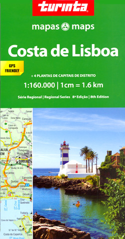
The coast of central Portugal around Lisbon in a series of detailed, indexed touring maps from Turinta, the country’s leading map publishers, each with street plans of main towns. Road network includes local country roads, most with driving distances. Railway lines are shown with stations. Symbols mark locations of pousadas, campsites, monuments and historical sites,
Northern Portugal Turinta

Northern Portugal in a series of detailed, indexed touring maps from Turinta, the country’s leading map publishers, each with street plans of main towns. The map has altitude colouring, and highlights protected areas, including the Peneda Gerรชs National Park.Road network includes local country roads, most with driving distances. Railway lines are shown with stations. Symbols


