Category Archives: Maps
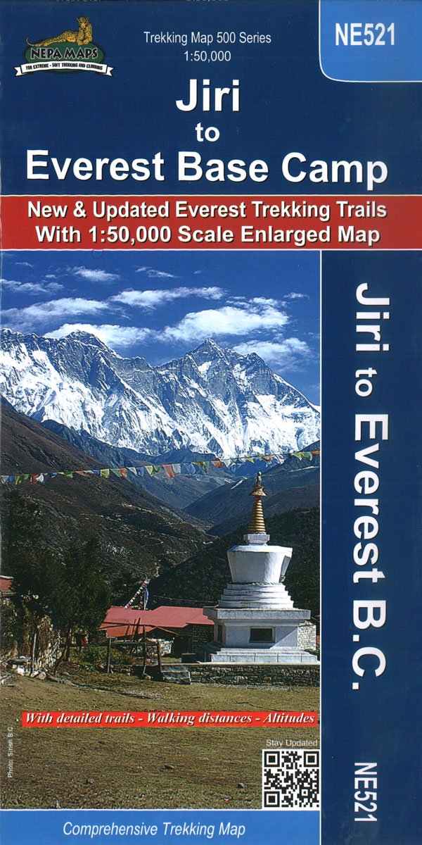
Everest: Jiri to Everest Base Camp
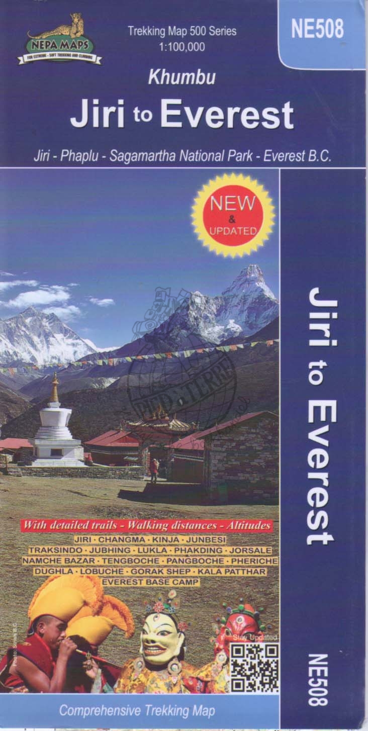
Trekking route from Juri to Lukla and Namche Bazaar, and then on to the Everest Base Camp presented on a map at 1:100,000 from Nepa Maps. In addition to the main trekking route from Jiri to Mt Everest the map also highlights several other routes in the Khumbu region including treks to Gokyo Lakes, Island
Gosainkunda – Trek to Shiva`s Sacred Lake
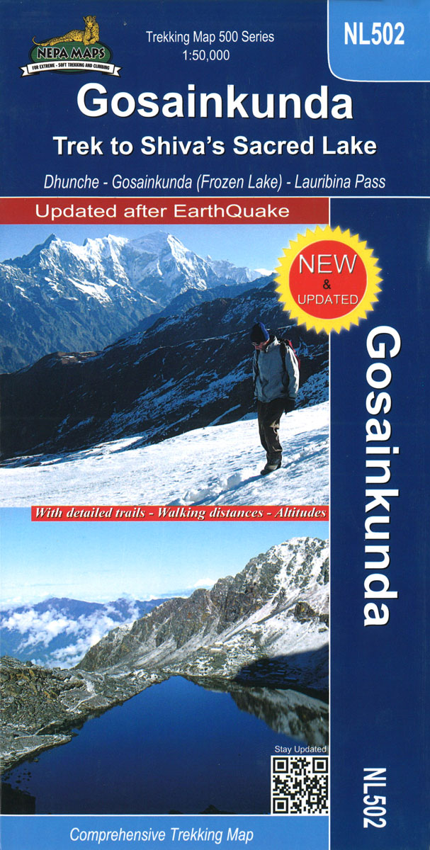
Gosaikund and the Sacred Lakes in the Nepa Maps series which provides extensive coverage of trekking areas of Nepal on detailed contoured maps with trekking routes and hiking trails, huts and camp sites, local places of interest and other tourist information.Cartography is based on the country’s topographic survey, with contours usually at 40m or 50m
Lower Manaslu Community Based Eco Trail
Lower Manaslu Community Based Eco Trail map at 1:125,000, in the Nepa Maps series which provides extensive coverage of trekking areas of Nepal on detailed contoured maps with trekking routes and hiking trails, huts and camp sites, local places of interest and other tourist information.The map covers the region between the Annapurna Conservation Area and
Damodar Himal
Damodar Himal on the northern edge of the Annapurna Conservation area presented by Nepa Maps at 1:50,000 on a map extending from Phu northwards to the Gaurigi and Bhrikuti peaks and west to Muktinath and Ghiling (Geling). Contours are at 40m intervals, with heights for numerous peaks and colouring for the glaciated areas. The map
Ruby Valley Trek
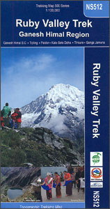
Treks in the Ruby Valley area in the Ganesh Himal region of Nepal on a map at 1:100,000 from Nepa Maps. Coverage extends from south of Trisuli Bazar and Nuwakot northwards beyond the peak of Ganesh Himal (Yangra) to the Siyar Khola Valley, and east to the Rasuwagadhi crossing to Tibet. The map prominently highlights
Dolpo Circuit
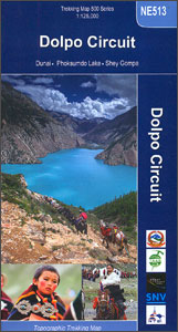
The Upper and Lower Dolpo Circuits in western Nepal presented on a map at 1:125,000 from Nepa Maps with coverage extending from the Shey Phoksundo National Park to Jumla. The two Dolpo Circuits, the Kagmara La trek and the Jumla to Juphal route are prominently highlighted. The map also indicates which sections of the marked
Dhorpatan Hunting Reserve
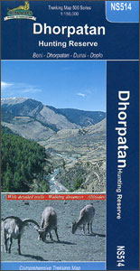
Dhortopatan Hunting Reserve west of the Dhaulagiri Massif presented by Nepa Maps at 1:150,000. The map covers the region from Beni and the Dhaulagiri peaks westwards to Musikot (Khalanga) and highlights routes across and around the park, including from Dhorpatan to Dunai across the Phalgune Pass or via Hukam. Also marked is a route to
Shivapuri Nagarjun National Park

Shivapuri Nagarjun National Park just north of Kathmandu on a detailed map at 1:30,000 from Nepa Maps highlighting numerous local trekking and cycling routes. The map covers both sections of the park: its main area between Kakani and Juhle, and the smaller section west of Kathmandu around Jamacho. Numerous treks are highlighted by different colouring
Tenzing-Hillary Trek – Jiri to Everest Base Camp
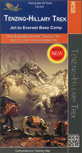
One of Nepal’s most popular trekking routes, from Juri to the Base Camp of Mount Everest, presented on a double-sided map at 1:50,000 from Nepa Maps. Now named after the two conquerors of Everest, the main trek is prominently marked on the map, along with the route from Namche Bazaar to Gokyo Lakes. Also highlighted
Bhutan Great Himalaya Trail Map
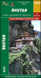
Bhutan: Great Himalaya Trail Map at 1:400,000 from the Kathmandu-based Nepa Maps with the overprint distinguishing between the course of the Great Himalaya Trail and other traditional trekking routes; plus a route profile of the GHT and other useful trekking information.Satellite-derived base provides a good representation of the country’s topography; main rivers, peaks and mountain
Rara to Khaptad
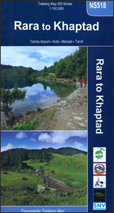
Trekking routes in Nepal west of Jumla on a contoured and GPS-compatible map at 1:150,000 from Nepa Maps. Coverage extends westwards from Jumla, Rara Lake and the Rara National Park to Silgadhi and Dipayal. The trail from Rara Lake westwards to the Khaptad Camp, Khaptad National Park and then north to Tamil is prominently highlighted,
Upper Mustang
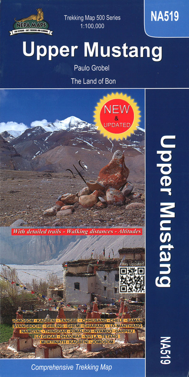
Upper Mustang area at 1:100,000 in the Nepa Maps series which provides extensive coverage of trekking areas of Nepal on detailed contoured maps with trekking routes and hiking trails, huts and camp sites, local places of interest and other tourist information.The map shows trekking routes in the northern part of the Annapurna Conservation Area, from
Dhaulagiri Circuit
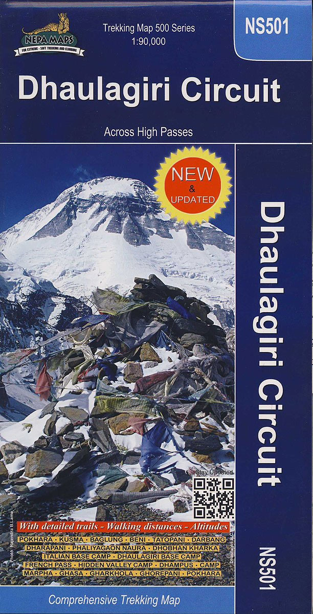
Dhaulagiri Circuit at 1:90,000 in the Nepa Maps series which provides extensive coverage of trekking areas of Nepal on detailed contoured maps with trekking routes and hiking trails, huts and camp sites, local places of interest and other tourist information.The map covers the trekking area south and east of the Dhaulagiri peaks, between Jomosom/Jomsom in
Around Annapurna (125K)
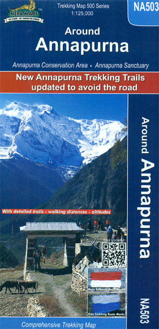
The whole of the Annapurna Circuit prominently highlighted on a map at 1:125,000 from Nepa Maps with alternative variants via the Tilicho Lakes or Naar, treks to the Machhapuchhre and South Annapurna Base Camps, climbing routes to the Chulu Peaks, Pisang Peak and Singu Chuli (Fluted Peak), etc. Coverage extends from Pohkara to Muktinath and
Guerrilla Trek – Dhorpatan Hunting Reserve

Guerrilla Trek (also known as the Shangri La Trek) and the Dhorpatan Hunting Reserve west of the Dhaulagiri Massif presented by Nepa Maps at 1:150,000. The map covers the region from Beni and the Dhaulagiri peaks westwards and highlights the course of the Guerilla trek from Darbang to Sulihaur and other trails, as well as
Upper & Lower Dolpo
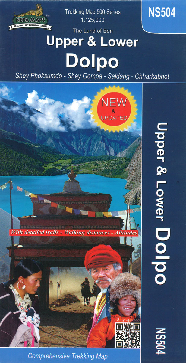
Large area centred on Dho Tarap, lying between the Upper and Lower Dolpa regions, in the Nepa Maps series which provides extensive coverage of trekking areas of Nepal on detailed contoured maps with trekking routes and hiking trails, huts and camp sites, local places of interest and other tourist information.Cartography is based on the country’s
Pokhara City – Lake Side Valley
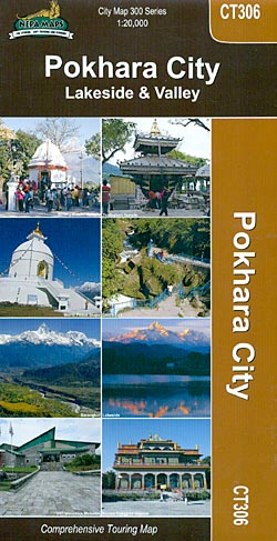
Pokhara on a double-sided map from Nepa Maps combining a very detailed street plan of its tourist Lakeside district, a street plan of the whole town, and a contoured map of the Pokhara Valley, all three indexed and highlighting sights and facilities.One side is divided into two panels. A very detailed plan at 1:4,000 covers
Kathmandu Valley
Kathmandu Valley at 1:60,000 on an indexed, contoured touring and trekking map from Nepa Maps (Himalayan MapHouse), highlighting places of interest including the Shivapuri National Park, and showing bus connections, etc.Topography of the area is shown by contours are at 20m intervals, enhanced by relief shading and colouring/graphics for different types of vegetation. Names of


