Category Archives: Maps
Everest: Jiri to Everest Base Camp
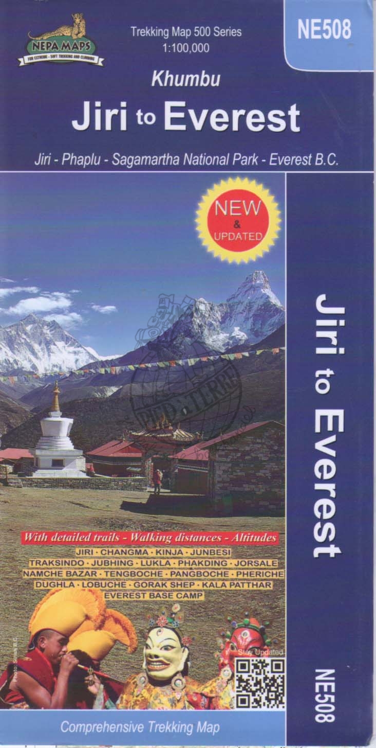
Trekking route from Juri to Lukla and Namche Bazaar, and then on to the Everest Base Camp presented on a map at 1:100,000 from Nepa Maps. In addition to the main trekking route from Jiri to Mt Everest the map also highlights several other routes in the Khumbu region including treks to Gokyo Lakes, Island
Gosainkunda – Trek to Shiva`s Sacred Lake
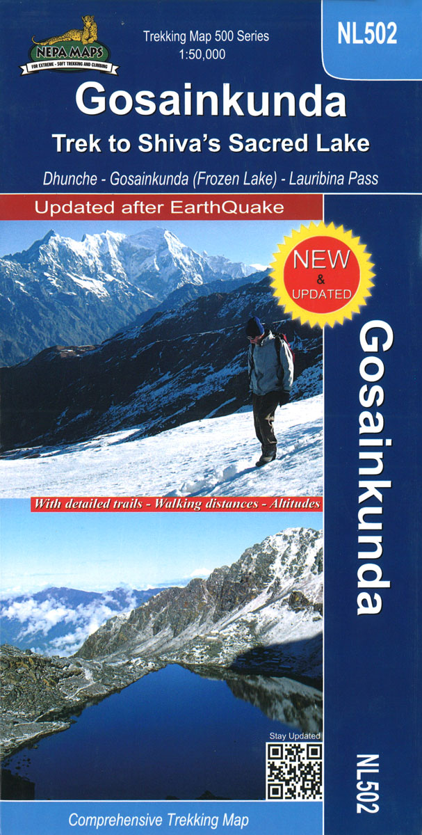
Gosaikund and the Sacred Lakes in the Nepa Maps series which provides extensive coverage of trekking areas of Nepal on detailed contoured maps with trekking routes and hiking trails, huts and camp sites, local places of interest and other tourist information.Cartography is based on the country’s topographic survey, with contours usually at 40m or 50m
Khumbu – Sagarmatha National Park
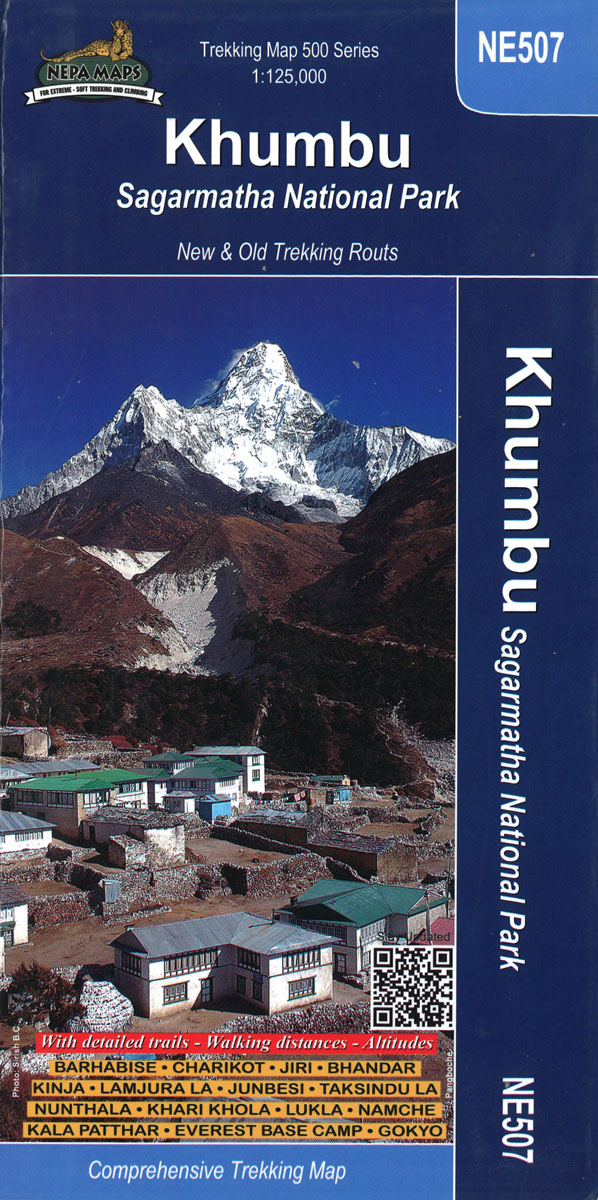
Khumbu Himal and Rolwaling Himal area, including the Sagarmatha National Park, at 1:125,000 in the Nepa Maps series which provides extensive coverage of trekking areas of Nepal on detailed contoured maps with trekking routes and hiking trails, huts and camp sites, local places of interest and other tourist information.The map covers the Khumbu Himal and
Langtang – Gosainkunda – Helambu – Tamang Heritage Trail (125K/25K)

Langtang, Gosaikund and Helambu regions of Nepal, north and north-east of Kathmandu, on a double-sided map from Nepa Maps, presenting the area on one side at 1:125,000, with on the reverse the Tamang Heritage Trail shown in more detail at 1:25,000. Coverage of the main 125K map extends from the capital to the Tibetan border
Bhutan Himalaya Trekking Map

Bhutan Trekking Map at 1:400,000 from the Kathmandu-based Nepa Maps highlighting main trekking routes, national parks and places of interest, plus maps of Thimpu City and the Paro area, etc. Satellite-derived base provides a good representation of the country’s topography; main rivers, peaks and mountain passes are named. National parks and other protected areas are
Langtang – Gosaikund & Helambu 125K
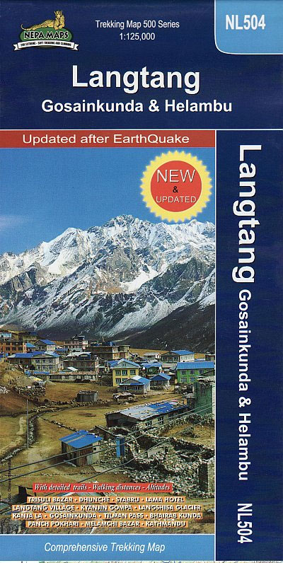
Langtang, Gosaikund and Helambu regions of Nepal, north and north-east of Kathmandu, on a map at 1:125,000 from Nepa Maps. Coverage extends from the capital to the Tibetan border and eastwards to the Kodari border crossing. The map shows numerous trekking routes from Kathmandu, Trisuli, Melamchi and Chautara northwards towards the Langtang National Park, as
Mera Peak
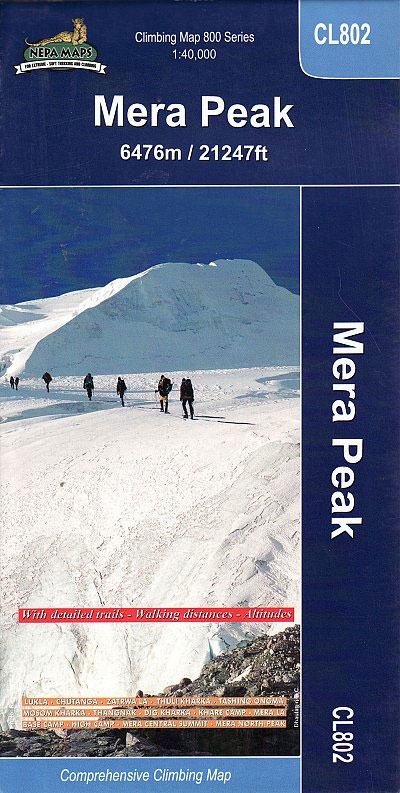
Trekking route to the Mera peaks at 1:40,000 in the Nepa Maps series which provides extensive coverage of trekking areas of Nepal on detailed contoured maps with trekking routes and hiking trails, huts and camp sites, local places of interest and other tourist information.The map shows a section of the main Everest trek between Taksindu
Kanchenjunga Region Great Himalaya Trail Map

Kanchenjunga Region, map no. 101, at 1:100,000 on a waterproof and tear-resistant trekking map from the Himalayan MapHouse in their series covering the whole of northern Nepal. The map highlights main trekking routes from Taplejung, including Kanchenjunga Base Camp Trek, Yalung Base Camp Trek, Phathibhara Trek, the route along the Yangma Khola and Pabuk Khola
Makalu Region Great Himalay Trail Map

Makalu Region, map no. 102, at 1:100,000 on a waterproof and tear-resistant trekking map from the Himalayan MapHouse in their series covering the whole of northern Nepal. The map highlights main trekking routes from Tumlingtar northwards: the Makalu Base Camp Trek and the route to Kimathangka, a local route east of the town, plus the
Solu Khumbu – Everest Region Great Himayala Trail Map

Solu Khumbu/Everest Region, map no. 103, at 1:100,000 on a waterproof and tear-resistant trekking map from the Himalayan MapHouse in their series covering the whole of northern Nepal. The map highlights main trekking routes from Lukla, both north and south of the town: Everest Base Camp Trek, alternative routes to the Gokyo Lakes, Bhote Koshi
Island Peak (Imja Tse)
The trek from Namche to the base camp of the Island Peak (Imja Tse) with the climbing route to the peak itself annotated with views towards the surrounding mountains, presented by Nepa Maps at 1:40,000. The map also includes plans of Namche and Lukla highlighting accommodation and other facilities.Namche is in the south-western corner of
Rolwaling Region Great Himalaya Trail Map

The Rolwaling, map no. 104, at 1:100,000 on a waterproof and tear-resistant trekking map from the Himalayan MapHouse in their series covering the whole of northern Nepal. The map highlights main trekking routes from Jiri, both north and south of the town, including the first sections of the Jiri/Everest and Jiri/Pikey Peak trails, the Numbur
Langtang & Helambu Great Himalaya Trail Map
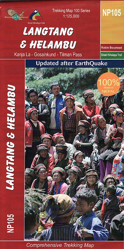
Langtang and Helambu, map no. 105, at 1:125,000 on a waterproof and tear-resistant trekking map from the Himalayan MapHouse in their series covering the whole of northern Nepal. The map highlights main trekking routes north of Kathmandu, including Gosainkund Trek, Kangja la ‘“ Naya Kanga trek, Paldor Trek, Tamang Heritage Trek, Bhairav Kund Trek, and
Manaslu & Ganesh Himals Great Himalaya Trail Map

Manaslu Himal and Ganesh Himal, map no. 106, at 1:125,000 on a waterproof and tear-resistant trekking map from the Himalayan MapHouse in their series covering the whole of northern Nepal. The map shows the northern part of the Tsum Valley and the surrounding mountains including Ganesh (Yangra) as an inset and highlights treks north of
Annapurna, Naar & Phu Great Himalaya Trail Map
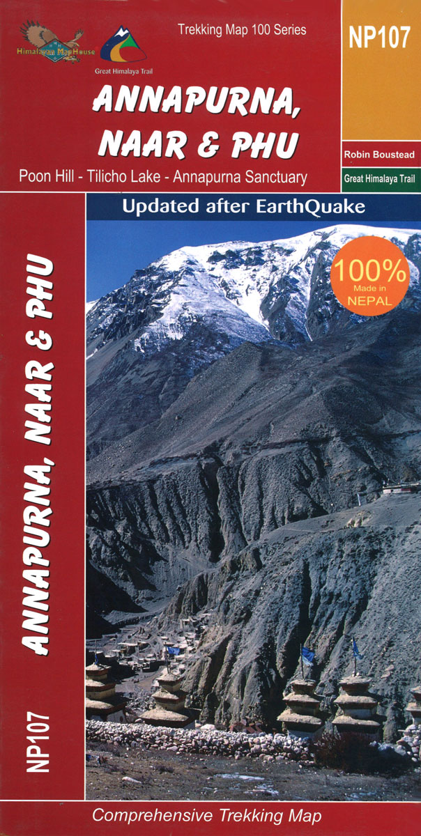
Annapurna, Naar and Phu, map no. 107, at 1:125,000 on a waterproof and tear-resistant trekking map from the Himalayan MapHouse in their series covering the whole of northern Nepal. The map shows the whole of the Annapurna Circuit including the spur northwards to Naar and Phu and the variant across Tilicho Lake, the Annapurna Base
Mustang Great Himalaya Trail Map
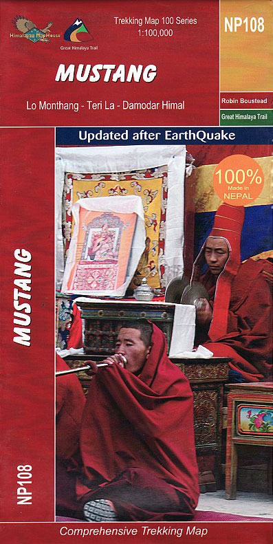
Mustang, map no. 108, at 1:100,000 on a waterproof and tear-resistant trekking map from the Himalayan MapHouse in their series covering the whole of northern Nepal. The map shows the region north of the upper section of the Annapurna Circuit, beyond Jomsom/Jomosom and Muktinath, and highlights the route to Garphu, the Mustang to Phu trek,
Dolpo & Mugu – Phoksumdo – Chharka Bhot – Kanjirowa Himal Great Himalaya Trail Map

Dolpo and Mugu, map no. 109, at 1:150,000 on a double-sided, waterproof and tear-resistant trekking map from the Himalayan MapHouse in their series covering the whole of northern Nepal. The map covers on one side the area from Jomsom/Jomosom and Dhaulagiri Himal to Dunai including the eastern part of the Shey Phoksundo National Park, extending


