Category Archives: Maps
Klaipeda, Kuronian Spit and the Southern Coast
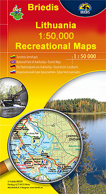
Klaipeda, Kuronian Spit and the Southern Coast of Lithuania in a series of contoured maps at 1:50,000 from the Vilnius based publishers Briedis covering the country’s popular regions and highlighting each area’s recreational possibilities, tourist facilities, various places of interest, etc.Maps in this series are contoured and have colouring and/or graphics to indicate different types
Klaipeda and the Northern Coast

Klaipeda and the Northern Coast of Lithuania in a series of contoured maps at 1:50,000 from the Vilnius based publishers Briedis covering the country’s popular regions and highlighting each area’s recreational possibilities, tourist facilities, various places of interest, etc.Maps in this series are contoured and have colouring and/or graphics to indicate different types of terrain
Manaslu & Tsum Valley
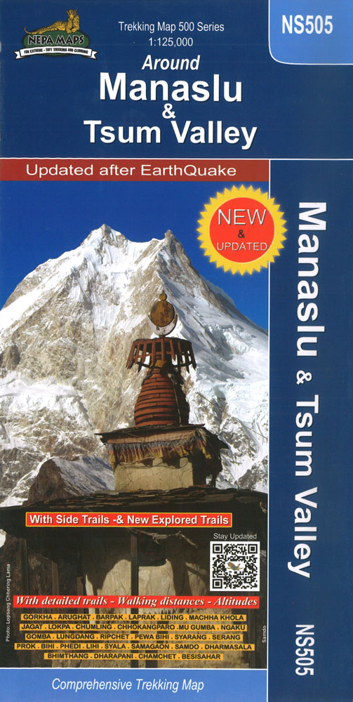
Manaslu and Tsum Valley High Route circuit at 1:125,000, covering the region between the Annapurna Conservation Area and the Langtang National Park, in the Nepa Maps series which provides extensive coverage of trekking areas of Nepal on detailed contoured maps with trekking routes and hiking trails, huts and camp sites, local places of interest and
Tbilisi and Environs Geoland Street Plan
Tbilisi on a double-sided map (paper edition) from the locally based Geoland, with on one side a street plan of the city centre at 1:10,000 annotated with tourist accommodation, sights, etc, and on the reverse the environs at 1:50,000 on a detailed contoured road map.The street plan is annotated with a very wide range of
Everest Base Camp & Gokyo – Three Passes 50K
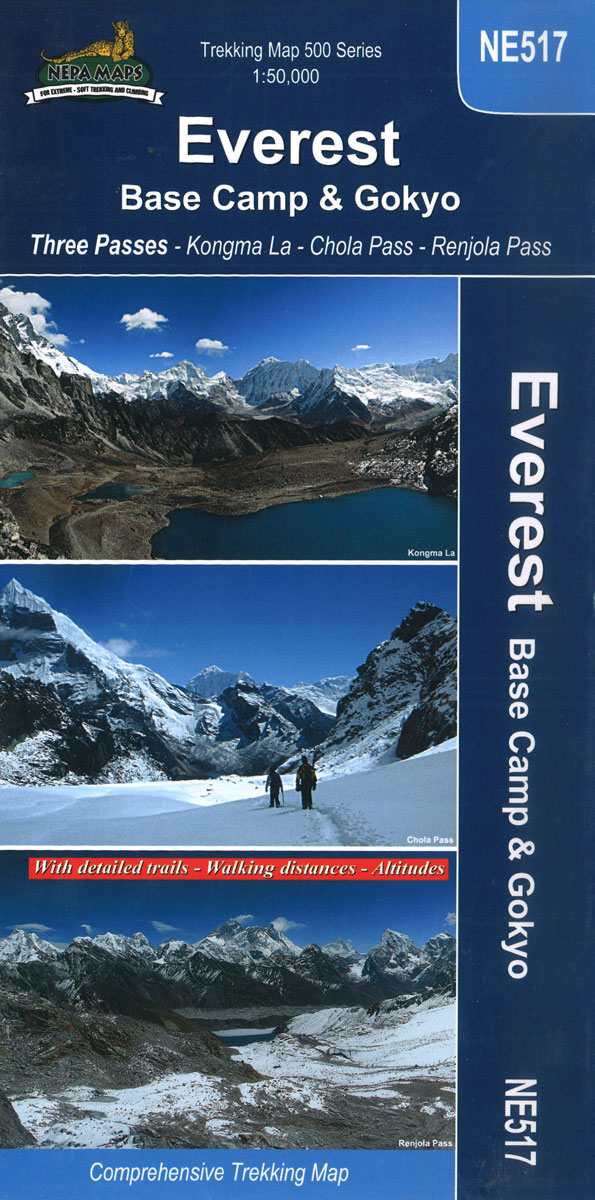
Everest Base Camp – Gokyo – Three Passes Trek map at 1:50,000 from Nepa Maps prominently highlighting the Three Passes Trek from Lukla and Namche along a section of the Everest Trek via Tengboche and Dingboche to the Thokla Pass, then westwards to the Cho (Chhugyuma) La Pass, Gokyo Lake and the Rejno La Pass,
Tallinn Public Transport Map
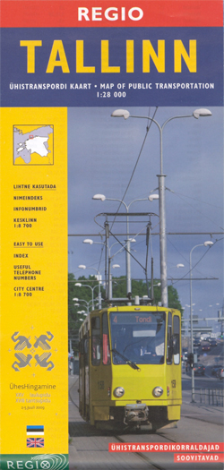
Transport map of Tallinn showing tram, bus and trolleybus routes within the city’s administrative area with line numbers and stops, plus an enlargement of the city centre, street index and list of lines with times of first and last services.On one side is a street plan of the whole city at 1:28,000 overprinted with tram,
Langtang – Gosainkunda & Helambu 125K
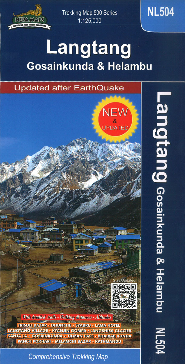
Langtang, Gosaikund and Helambu regions of Nepal, north and north-east of Kathmandu, on a map at 1:125,000 from Nepa Maps. Coverage extends from the capital to the Tibetan border and eastwards to the Kodari border crossing. The map shows numerous trekking routes from Kathmandu, Trisuli, Melamchi and Chautara northwards towards the Langtang National Park, as
Langtang – Tamang Heritage Trail – Gosainkunda – Helambu 50K

Langtang – Tamang Heritage Trail – Gosainkunda ‘“ Helambu area at 1:50,000 on a double-sided, contoured and GPS compatible map from Nepa Maps/Himalayan Map House. Coverage extends from Kathmandu northwards beyond Dunche and Langtang to the peak and the Base Camp of Langtang Lirung. Contour interval is 40 metres, enhanced by relief shading and colouring
Annapurna Base Camp
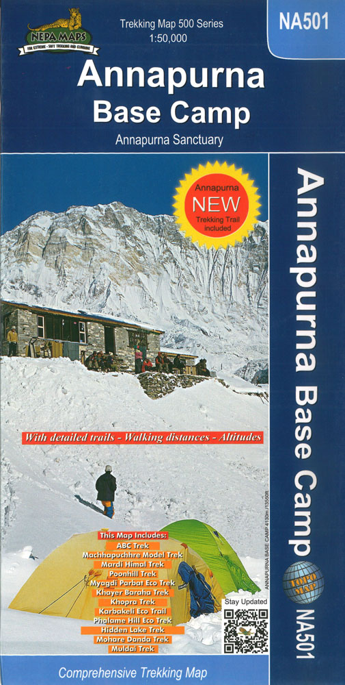
Annapurna Base Camp trekking map at 1:50,000 from Nepa Maps, covering the trekking route from Pokhara to Annapurna’s South Base Camp and the Machhapuchhre (Mt. Fish Tail) Base Camp, and beyond them showing the climbing routes to Tharpu Chuli (Tent Peak) and Singu Chuli (Fluted Peak). Also highlighted are various trekking routes on the lower
Ghorepani – Ghandruk
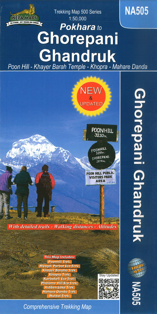
Trekking area north-west of Pokhara, around Ghandruk and Ghrorepani in the south-western part of the Annapurna Conservation Area, presented on a map at 1:50,000 from Nepa Maps. Coverage extends north to Tatopani and includes a section of the Annapurna Circuit, prominently marked to distinguish it from other trekking routes. The map also highlights numerous local
Tales from the Himalaya
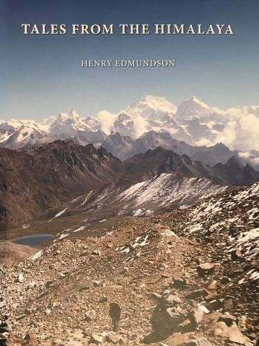
RELIGION. The cultural foundation of life in much of the Himalayas remains Tibetan Buddhism. This esoteric offshoot of the Buddha`s teaching developed from the 7th century onwards but was only discovered by explorers and scholars a thousand years later. The first tale is about a remarkably different type of reality, how its mysteries were unravelled,
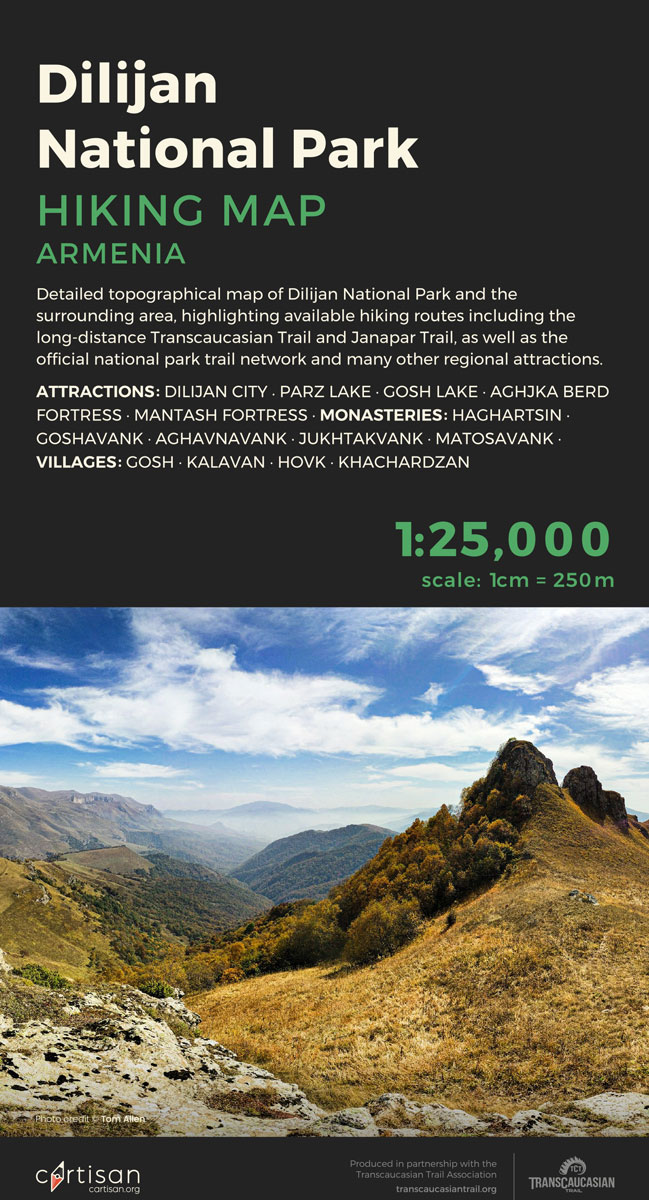
Dilijan National Park Cartisan Hiking Map
Khevi – Mt. Kazbegi – Gudauri – Truso Geoland 4
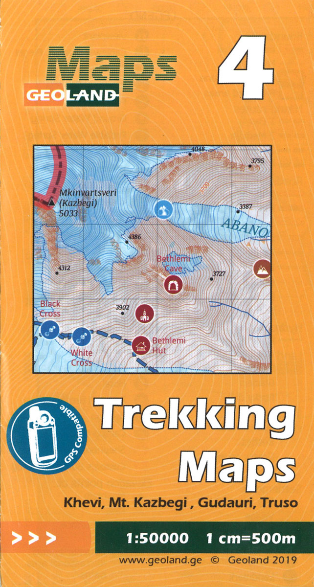
Khevi – Mt. Kazbegi – Gudauri – Truso area of the Caucasus Mountains in Georgia at 1:50,000 on a double-sided, contoured and GPS compatible map from Geoplan, with an overprint providing tourist information including local accommodation and sights. This is the PAPER edition of the map, which is also available in a waterproof and tear-resistant
Ushguli – Lashkheti – Mt.Shkhara Geoland 8
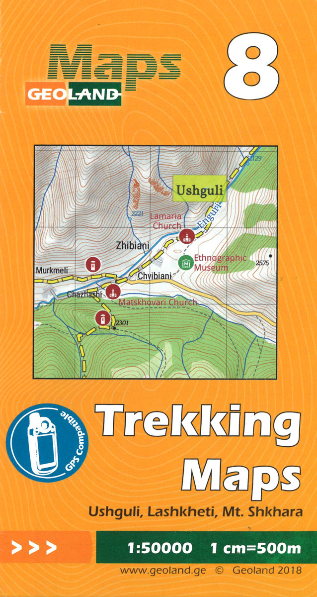
Ushguli – Lashkheti – Mt.Shkhara area of the Caucasus Mountains in Georgia at 1:50,000 on a double-sided, contoured and GPS compatible map from Geoplan, with an overprint providing tourist information including local accommodation and sights.Maps in this series have contours at 20m intervals, with additional relief shading and numerous spot heights, plus colouring and graphics
Mestia – Ushguli – Lashkheti Geoland 9
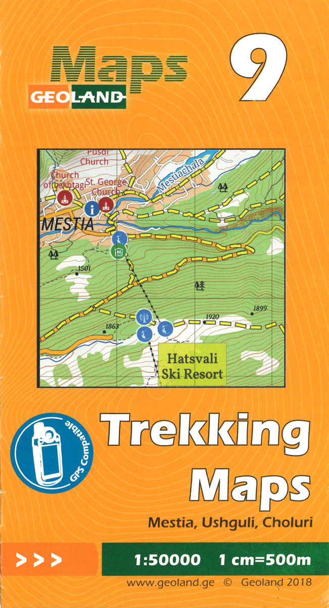
Mestia – Ushguli – Lashkheti area of the Caucasus Mountains in Georgia at 1:50,000 on a double-sided, contoured and GPS compatible map from Geoplan, with an overprint providing tourist information including local accommodation and sights. This is the PAPER edition of the map, which is also available in a waterproof and tear-resistant version.Maps in this
Mt Ushba – Mestia Geoland 10
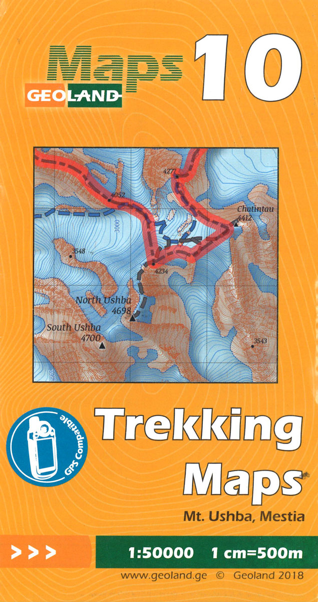
Mt Ushba – Mestia area of the Caucasus Mountains in Georgia at 1:50,000 on a double-sided, contoured and GPS compatible map from Geoplan, with an overprint providing tourist information including local accommodation and sights. This is the PAPER edition of the map, which is also available in a waterproof and tear-resistant version.Maps in this series


