Category Archives: Maps
Aukลกtadvaris and Environs
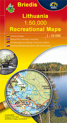
Aukลกtadvaris and Environs in a series of contoured maps at 1:50,000 from the Vilnius based publishers Briedis covering Lithuania’s popular regions and highlighting each area’s recreational possibilities, tourist facilities, various places of interest, etc.Maps in this series are contoured and have colouring and/or graphics to indicate different types of terrain and vegetation, e.g. peat bogs,
Curonian Spit National Park
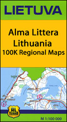
Curonian Spit National Park at 1:100,000 in a series GPS compatible regional maps of Lithuania from Alma Littera prominently highlighting each area’s best sights and showing a wide range of other places of interest including campsites. Main roads are graded according to the speed limit; regional and local roads indicate asphalted or gravel routes. Driving
Estonia North-West Regio Map
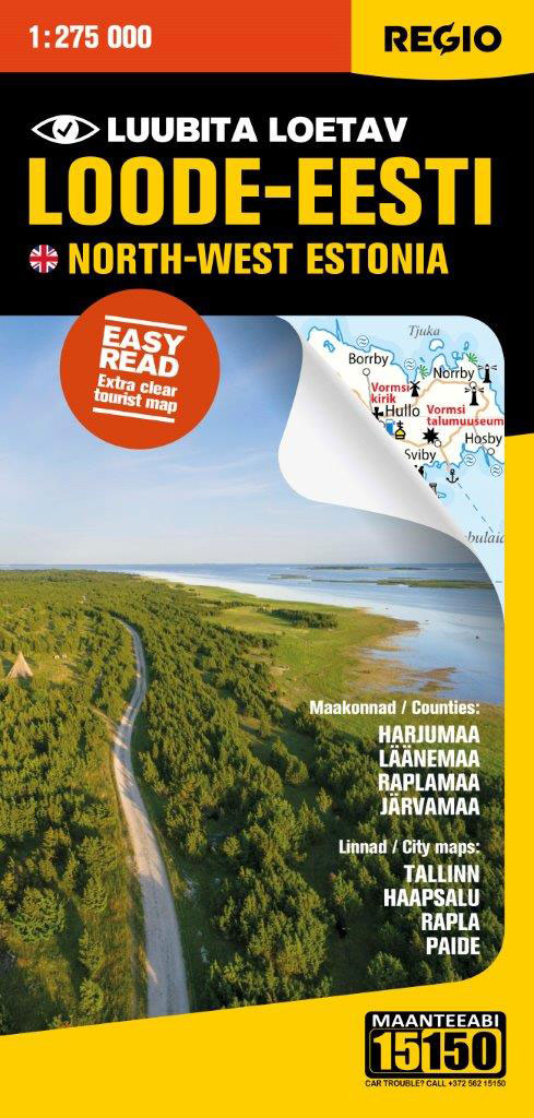
North-west Estonia at 1:275,000 on a map from Regio, with prominent highlighting of protected areas and places of interest including 15 recommended top sights, plus on the reverse city maps of Tallinn, Haapsalu, Rapla and Paide.Maps in this series present the road network on a clear base which highlights protected areas. Locations of petrol stations
Estonia North-East Regio Map
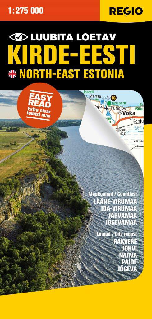
North-east Estonia at 1:275,000 on a map from Regio, with prominent highlighting of protected areas and places of interest including 15 recommended top sights, plus on the reverse city maps of Rakvere, Navra, Jรตhvi, Paide and Jรตgeva, also a distance table for the whole country.Maps in this series present the road network on a clear
Estonia South-East Regio Map
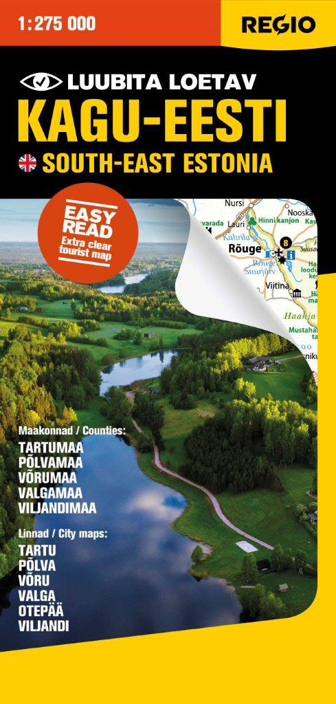
South-east Estonia at 1:275,000 on a map from Regio, with prominent highlighting of protected areas and places of interest including 15 recommended top sights, plus on the reverse city maps of Tartu, Viljandi, Valga, Vรตru and Otepรครค.Maps in this series present the road network on a clear base which highlights protected areas. Locations of petrol
Estonia South-West Regio Map
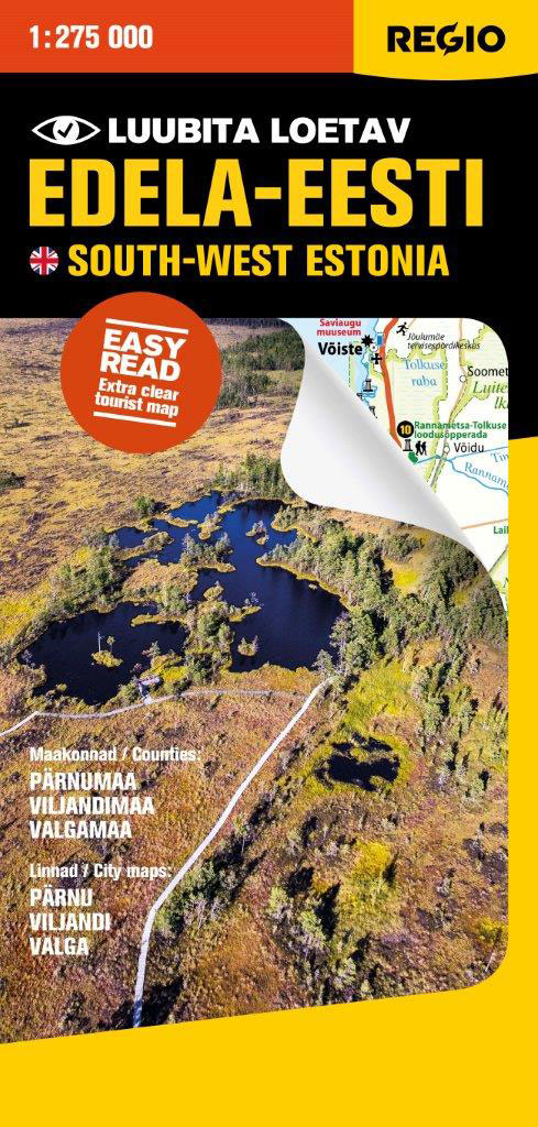
South-west Estonia at 1:275,000 on a map from Regio, with prominent highlighting of protected areas and places of interest including 15 recommended top sights, plus on the reverse city maps of Pรคrnu, Viljandi, and Valga, also a distance table for the whole country.Maps in this series present the road network on a clear base which
Estonia West Regio Map
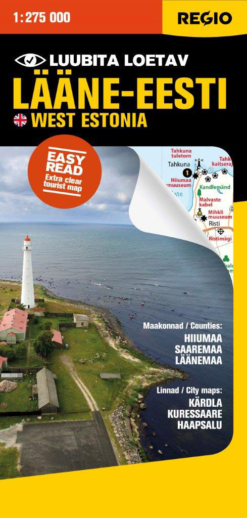
Western Estonia, including the islands of Saaremaa, Hiiumaa and Muhu, at 1:275,000 on a map from Regio, with prominent highlighting of protected areas and places of interest including 15 recommended top sights, plus on the reverse city maps of Kuressaare, Haapsalu and Kรคrdla, also a distance table for the whole country.Maps in this series present
Latvia Regio Manors and Palaces
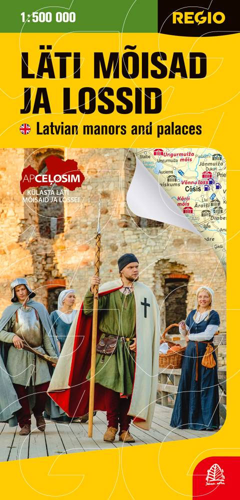
The Michelin National road map of Latvia at 1:350,000 scale is ideal for trip & route planning and touring. The map gives comprehensive coverage of national road networks showing all major motorways, dual carriageways, national & regional main roads and some single-lane roads. Unsurfaced roads are indicated. The map is divided by a grid showing
Baltic States Regio Road Atlas
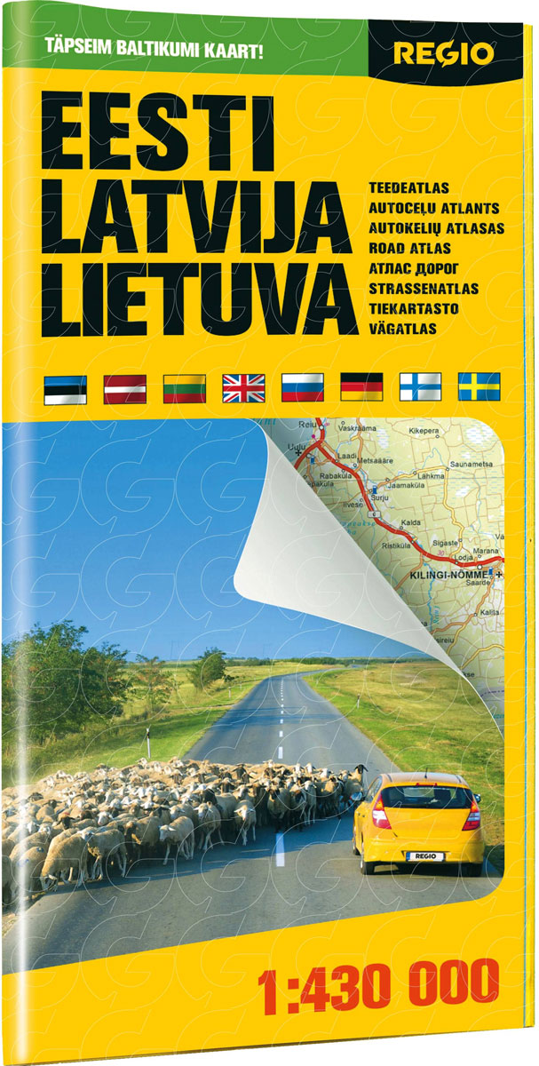
Road atlas from the Tallinn-based Regio presenting the three Baltic States: Estonia, Latvia and Lithuania at 1:430,000, highlighting in each country 10 best sights, plus enlargements for the environs and city centre maps of the three capitals, a route planning section, an extensive table of driving distances, etc.The atlas is folded to 15x29cm but opens
Klaipeda, Kuronian Spit and the Southern Coast

Klaipeda, Kuronian Spit and the Southern Coast of Lithuania in a series of contoured maps at 1:50,000 from the Vilnius based publishers Briedis covering the country’s popular regions and highlighting each area’s recreational possibilities, tourist facilities, various places of interest, etc.Maps in this series are contoured and have colouring and/or graphics to indicate different types
Klaipeda and the Northern Coast

Klaipeda and the Northern Coast of Lithuania in a series of contoured maps at 1:50,000 from the Vilnius based publishers Briedis covering the country’s popular regions and highlighting each area’s recreational possibilities, tourist facilities, various places of interest, etc.Maps in this series are contoured and have colouring and/or graphics to indicate different types of terrain
Dzukija National Park East

The eastern part of the Dzukija National Park in a series of contoured maps at 1:50,000 from the Vilnius based publishers Briedis covering Lithuania’s popular regions and highlighting each area’s recreational possibilities, tourist facilities, various places of interest, etc.Maps in this series are contoured and have colouring and/or graphics to indicate different types of terrain
Vilnius and Environs

Vilnius and Environs in a series of contoured maps at 1:50,000 from the Vilnius based publishers Briedis covering Lithuania’s popular regions and highlighting each area’s recreational possibilities, tourist facilities, various places of interest, etc.Maps in this series are contoured and have colouring and/or graphics to indicate different types of terrain and vegetation, e.g. peat bogs,
Lake Asveja and Environs

Lake Asveja and Environs in a series of contoured maps at 1:50,000 from the Vilnius based publishers Briedis covering Lithuania’s popular regions and highlighting each area’s recreational possibilities, tourist facilities, various places of interest, etc.Maps in this series are contoured and have colouring and/or graphics to indicate different types of terrain and vegetation, e.g. peat
Estonia
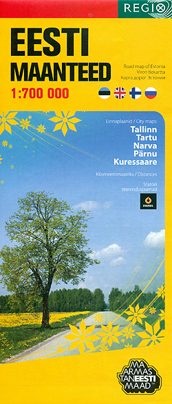
Estonia at 1:700,000 on an overview road map from the Tallinn based Regio, highlighting locations of petrol stations, with on the reverse street plans of the country’s five main cities: Tallinn, Kuressaare, Narva, Pรคrnu and Tartu.On one side is a road map designed to show the network of principal and secondary roads plus selected local
Kaunas and Environs West

Kaunas and its western environs in a series of contoured maps at 1:50,000 from the Vilnius based publishers Briedis covering Lithuania’s popular regions and highlighting each area’s recreational possibilities, tourist facilities, various places of interest, etc.Maps in this series are contoured and have colouring and/or graphics to indicate different types of terrain and vegetation, e.g.
Kaunas and Environs East

Kaunas and its eastern environs in a series of contoured maps at 1:50,000 from the Vilnius based publishers Briedis covering Lithuania’s popular regions and highlighting each area’s recreational possibilities, tourist facilities, various places of interest, etc.Maps in this series are contoured and have colouring and/or graphics to indicate different types of terrain and vegetation, e.g.
Tartu
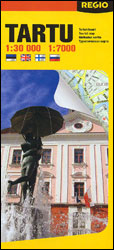
Tartu, Estonia’s second largest city on a street plan from the Tallinn-based publishers Regio, showing the town on one side at 1:30,000 with on the reverse the town centre in greater detail at 1:7,000. A wide range of symbols indicates various places of interest, including hotels, markets and shopping centres, car parks and petrol stations,
Zemaitija National Park

Zemaitija National Park in a series of contoured maps at 1:50,000 from the Vilnius based publishers Briedis covering Lithuania’s popular regions and highlighting each area’s recreational possibilities, tourist facilities, various places of interest, etc.Maps in this series are contoured and have colouring and/or graphics to indicate different types of terrain and vegetation, e.g. peat bogs,


