Category Archives: Maps
Cusco Metro Plan
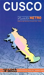
Cusco at 1:15,000 from Editorial Lima 2000 covering the town with its airports and the San Jeronimo district beyond it. An enlargement shows the town centre in greater detail. Colours distinguish the city’s districts, and their estate sub-divisions (urbanizaciones) are identified, with block numbers marked along the streets. Contour lines depict the relief beyond the
Arequipa Metro Plan
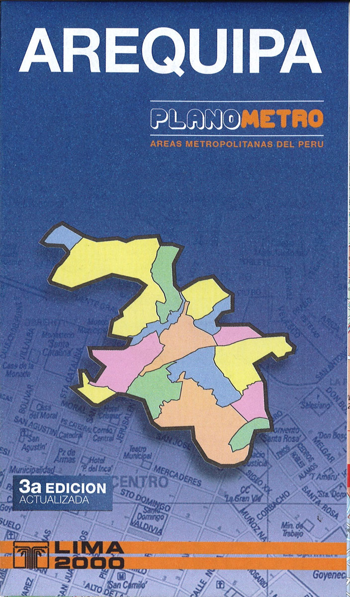
Clear, indexed road map of the whole town including the airport. Maps on the reverse extend coverage into the western suburbs and north-west beyond the airport. Colours distinguish the city’s main districts, and their estate sub-divisions (urbanizaciones) are identified, with block numbers marked along many of the streets. Contour lines depict the relief beyond the
Lima METRO Street Plan
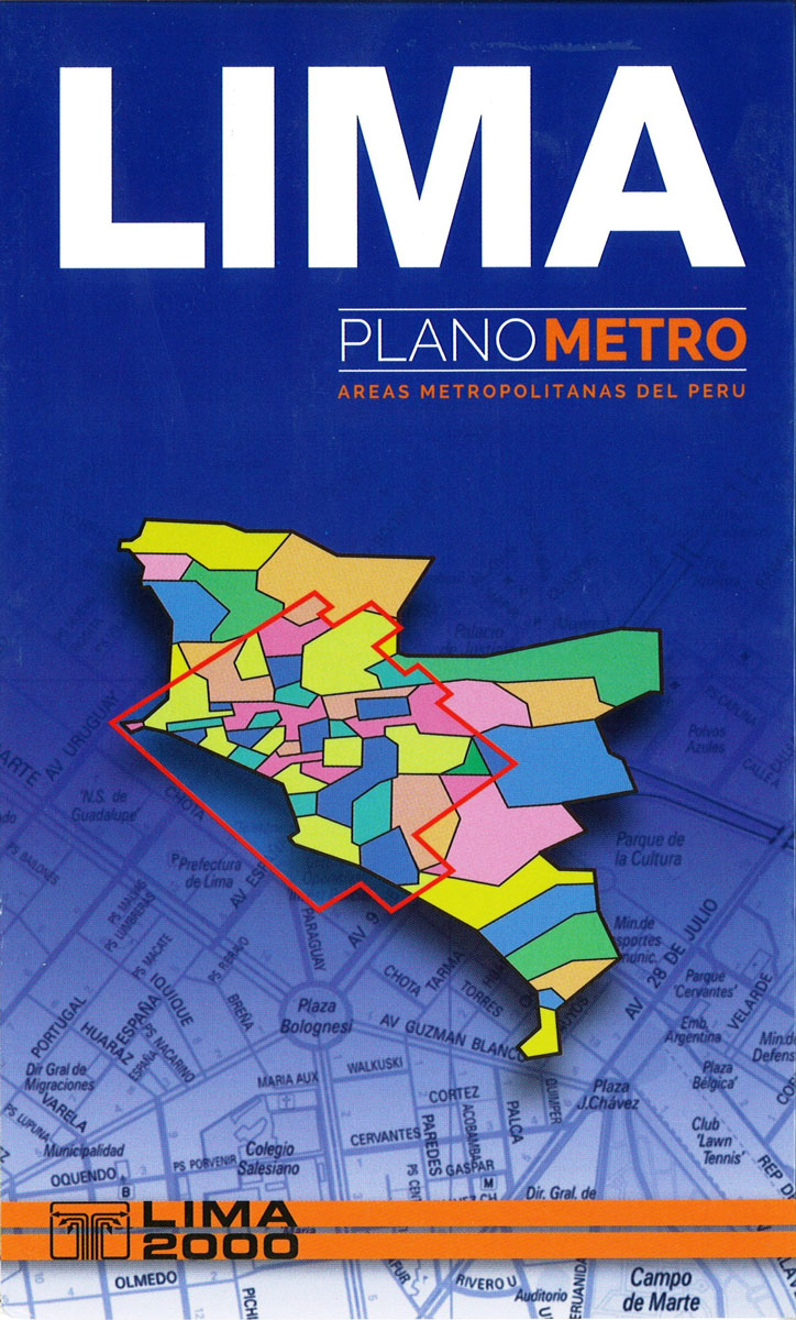
Comprehensive, indexed street map of greater Lima, including its outer parts. Colours distinguish the city’s districts, and estate sub-divisions (urbanizaciones) are identified, with block numbers marked along the streets. Some of the outermost parts of the city are shown as insets. Subtle hill-shading with contours depicts the relief and parks, wetland and agricultural areas are
Peru Mapa Vial
Peru at 1:2,200,000 on an indexed road map from the locally based Editorial Lima 2000 with 11 street plans, including metropolitan and central Lima, Cusco, Arequipa, Huaraz, Iquitos, Cajamarca, Trujillo, etc.On one side is a road map of the whole country, extending north to include Quito and east over Lake Titicaca to La Paz. Relief
Cusco Trekking Map
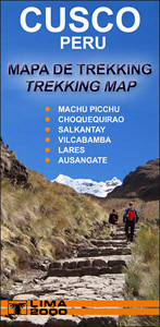
This topographic map from the Lima-based publisher Lima 2000 is quite simply the best map for the Inca Trail from Kilometre 88 to Machu Picchu. It is in full colour and is also the largest scale map available for the route while still slipping easily into a pocket or rucksack.The map shows a UTM grid
Cusco City and Region Traveler`s Map
Cusco at 1:15,000 from Editorial Lima 2000 covering the town with its airports and the San Jeronimo district beyond it. An enlargement shows the town centre in greater detail. Colours distinguish the city’s districts, and their estate sub-divisions (urbanizaciones) are identified, with block numbers marked along the streets. Contour lines depict the relief beyond the
Larmaka Street Plan and District Road Map
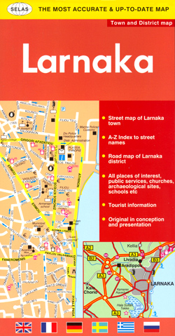
Larnaka at 1:10,000 on a street plan from the Nicosia based publishers Selas, with on the reverse a road map at 1:200,000 of the Larnaka District. The street plan is annotated with accommodation, places of interest and various facilities, all cross-referenced to lists in the street index.On one side is a street plan of the
Nicosia

Nicosia (Lefkosia) street plan at 1:11,000 from the locally based Selas Publications, with an extensive index plus lists of various government offices, public building and services, cultural and educational institutions, selected hotels, youth hostels, embassies, etc. (with their names in English). Main traffic arteries are highlighted; one way streets and locations of petrol stations are
Larnaka Pocket Street Plan
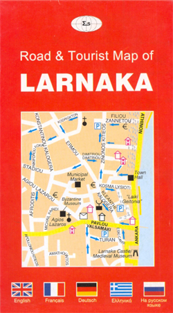
Handy size, pocket street plan Larnaka from Selas, plus a map of the holiday complex on the Eastern Larnaka Beach. The street plan, with one way streets, locations of petrol stations and symbols highlighting various places of interest and facilities is indexed and has lists of various places annotated on it. On the reverse is
Aukลกtadvaris and Environs
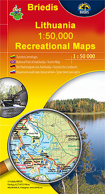
Aukลกtadvaris and Environs in a series of contoured maps at 1:50,000 from the Vilnius based publishers Briedis covering Lithuania’s popular regions and highlighting each area’s recreational possibilities, tourist facilities, various places of interest, etc.Maps in this series are contoured and have colouring and/or graphics to indicate different types of terrain and vegetation, e.g. peat bogs,
Curonian Spit National Park
Curonian Spit National Park at 1:100,000 in a series GPS compatible regional maps of Lithuania from Alma Littera prominently highlighting each area’s best sights and showing a wide range of other places of interest including campsites. Main roads are graded according to the speed limit; regional and local roads indicate asphalted or gravel routes. Driving
Vilnius Briedis Street Plan and Panorama
Dzukija I National Park West

The western part of the Dzukija National Park in a series of contoured maps at 1:50,000 from the Vilnius based publishers Briedis covering Lithuania’s popular regions and highlighting each area’s recreational possibilities, tourist facilities, various places of interest, etc.Maps in this series are contoured and have colouring and/or graphics to indicate different types of terrain
Dzukija National Park

Dzukija National Park at 1:100,000 in a series GPS compatible regional maps of Lithuania from Alma Littera prominently highlighting each area’s best sights and showing a wide range of other places of interest including campsites. Main roads are graded according to the speed limit; regional and local roads indicate asphalted or gravel routes. Driving distances
Aukลกtaitijos National Park

Aukลกtaitijos National Park at 1:100,000 in a series GPS compatible regional maps of Lithuania from Alma Littera prominently highlighting each area’s best sights and showing a wide range of other places of interest including campsites. Main roads are graded according to the speed limit; regional and local roads indicate asphalted or gravel routes. Driving distances
Lithuania Road Atlas
Handy A4 format road atlas with clear cartography. Detail includes minor and unpaved roads, railways and car ferries. Intermediate driving distances are marked on the map. Regional and district boundaries are drawn and different types of land use are distinguished eg. national parks, forest, open land, built-up areas, dumps.Symbols depict a wide range of features
Aukstaitija National Park

Aukstaitija National Park in a series of contoured maps at 1:50,000 from the Vilnius based publishers Briedis covering Lithuania’s popular regions and highlighting each area’s recreational possibilities, tourist facilities, various places of interest, etc. On the reverse this title has extensive lists of facilities and places of interest with their telephone numbers (accommodation, campsites, banks,
Moletai Lake District

Moletai Lake District in a series of contoured maps at 1:50,000 from the Vilnius based publishers Briedis covering Lithuania’s popular regions and highlighting each area’s recreational possibilities, tourist facilities, various places of interest, etc. The map provides extensive additional tourist information about the area; the text includes English.Maps in this series are contoured and have
Vilnius North West and Its Environs

Vilnius North West and Its Environs in a series of contoured maps at 1:50,000 from the Vilnius based publishers Briedis covering Lithuania’s popular regions and highlighting each area’s recreational possibilities, tourist facilities, various places of interest, etc. Maps in this series are contoured and have colouring and/or graphics to indicate different types of terrain and
Pafos Street Plan and District Road Map
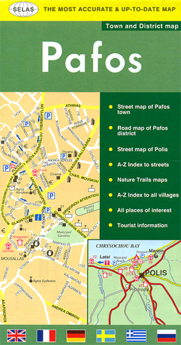
Street plan of Pafos from Selas, with on the reverse a road map at 1:100,000 of the western tip of Cyprus and maps of local nature trails. The street plan is annotated with accommodation, places of interest and various facilities, all cross-referenced to lists in the street index.On the reverse, a road map at 1:100,000


