Category Archives: Maps
Snรฆfellsjรถkull
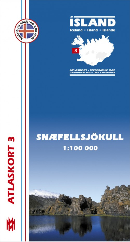
Snรฆfellsjรถkull, map no. 3, in the topographic survey of Iceland at 1:100,000 published by Mรกl og menning, with excellent, vivid presentation of the terrain, footpaths and bridleways, campsites, etc. The maps have contours at 20m intervals, enhanced by bold relief shading plus colouring and/or graphics to show glaciers, lava fields, sands and mudflats, as well
Dalir
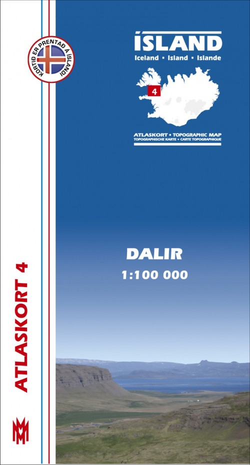
Dalir, map no. 4, in the topographic survey of Iceland at 1:100,000 published by Mรกl og menning, with excellent, vivid presentation of the terrain, footpaths and bridleways, campsites, etc. The maps have contours at 20m intervals, enhanced by bold relief shading plus colouring and/or graphics to show glaciers, lava fields, sands and mudflats, as well
Gullfoss – Geysir – Hekla
Gullfoss – Geysir – Hekla area of Iceland at 1:100,000 in a series of detailed hiking and recreational topographic maps from Mรกl og menning – the country`s leading cartographic publishers, with beautiful drawings of local birds and tourist information. An enlargement shows Hekla and the surrounding lava fields in greater detail at 1:50,000.The maps in
Kjรถlur – Langjรถkull – Kerlingrafjรถll
Kjรถlur – Langjรถkull – Kerlingrafjรถll area of Iceland at 1:100,000 in a series of detailed hiking and recreational topographic maps from Mรกl og menning – the country`s leading cartographic publishers, with beautiful drawings of local birds and tourist information. An enlargement shows the Kerlingrafjรถll area in greater detail at 1:50,000.The maps in this series present
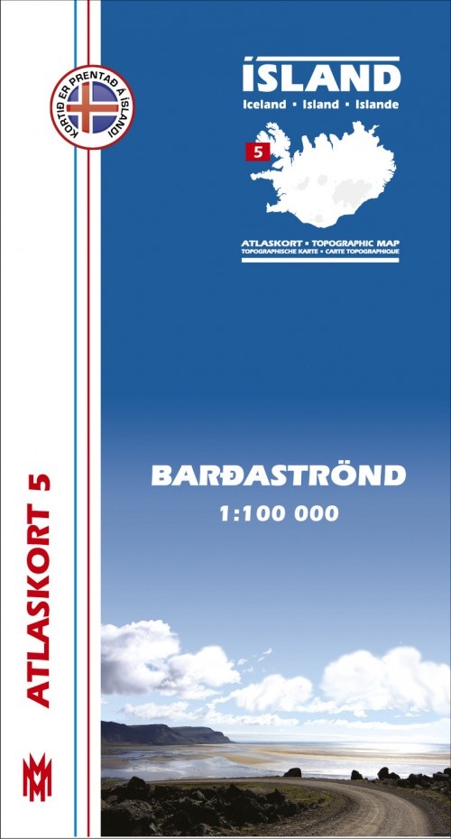
Arnarfjรถrรฐur
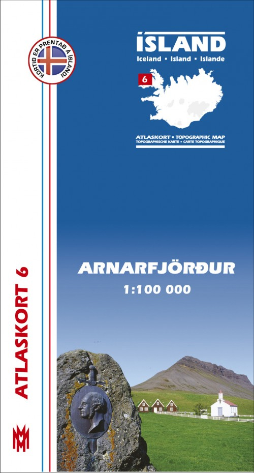
Arnarfjรถrรฐur, map no. 6, in the topographic survey of Iceland at 1:100,000 published by Mรกl og menning, with excellent, vivid presentation of the terrain, footpaths and bridleways, campsites, etc. The maps have contours at 20m intervals, enhanced by bold relief shading plus colouring and/or graphics to show glaciers, lava fields, sands and mudflats, as well
Trujillo Metro Plan
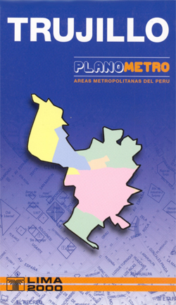
Indexed street plan map of Trujillo from Ed. Lima 2000, with additional insets on the reverse extending coverage of the main plan to include the local airport and the town of Laredo. Colours distinguish the city’s main districts, and their estate sub-divisions (urbanizaciones) are identified with block numbers marked along many of the streets. Contour
Peru Mapa Vial – Mini edition
Small, double-sided road map dividing the country north/south. The detail is the same as that on the 1:2,200,000 map by this publisher, here reproduced at a slightly larger scale. Hill-shading effectively shows the general relief and selected peak heights are marked. Road detail includes unpaved roads and dirt roads, and shows intermediate driving distances on
Cusco Metro Plan
Cusco at 1:15,000 from Editorial Lima 2000 covering the town with its airports and the San Jeronimo district beyond it. An enlargement shows the town centre in greater detail. Colours distinguish the city’s districts, and their estate sub-divisions (urbanizaciones) are identified, with block numbers marked along the streets. Contour lines depict the relief beyond the
Arequipa Metro Plan
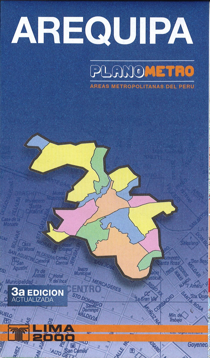
Clear, indexed road map of the whole town including the airport. Maps on the reverse extend coverage into the western suburbs and north-west beyond the airport. Colours distinguish the city’s main districts, and their estate sub-divisions (urbanizaciones) are identified, with block numbers marked along many of the streets. Contour lines depict the relief beyond the
Lima METRO Street Plan
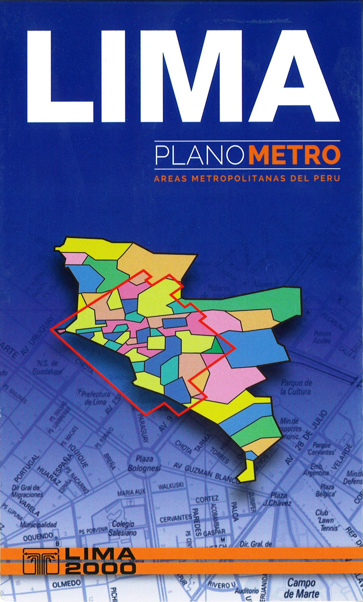
Comprehensive, indexed street map of greater Lima, including its outer parts. Colours distinguish the city’s districts, and estate sub-divisions (urbanizaciones) are identified, with block numbers marked along the streets. Some of the outermost parts of the city are shown as insets. Subtle hill-shading with contours depicts the relief and parks, wetland and agricultural areas are
Peru Mapa Vial
Peru at 1:2,200,000 on an indexed road map from the locally based Editorial Lima 2000 with 11 street plans, including metropolitan and central Lima, Cusco, Arequipa, Huaraz, Iquitos, Cajamarca, Trujillo, etc.On one side is a road map of the whole country, extending north to include Quito and east over Lake Titicaca to La Paz. Relief
Cusco Trekking Map
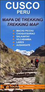
This topographic map from the Lima-based publisher Lima 2000 is quite simply the best map for the Inca Trail from Kilometre 88 to Machu Picchu. It is in full colour and is also the largest scale map available for the route while still slipping easily into a pocket or rucksack.The map shows a UTM grid
Cusco City and Region Traveler`s Map
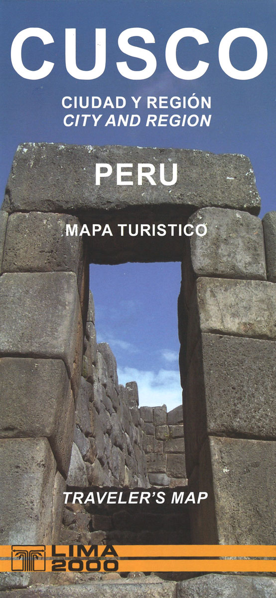
Cusco at 1:15,000 from Editorial Lima 2000 covering the town with its airports and the San Jeronimo district beyond it. An enlargement shows the town centre in greater detail. Colours distinguish the city’s districts, and their estate sub-divisions (urbanizaciones) are identified, with block numbers marked along the streets. Contour lines depict the relief beyond the
Inca Trail – Cusco – Machu Picchu – Sacred Valley
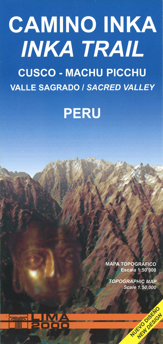
This topographic map from the Lima-based publisher Lima 2000 is quite simply the best map for the Inca Trail from Kilometre 88 to Machu Picchu. It is in full colour and is also the largest scale map available for the route while still slipping easily into a pocket or rucksack.The map shows a UTM grid
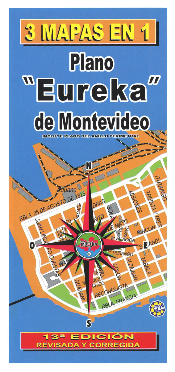
Uruguay – Montevideo – Maldonado and Punta del Este
Agia Napa, Protaras, Paralimni Pocket Map
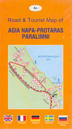
Handy size, pocket map with street plans of Agia Napa (1:10,100) and the nearby Paralimni (1:11;,000) from Selas, plus road maps of the surrounding area and a map of local nature trails. Both street plans highlight accommodation and places of interest, cross-referenced to lists in the street index.Two road maps show the environs of Agia
Iceland Wall Map
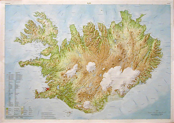
Iceland Wall Map at 1:600,000 from Mรกl og menning, size 100 x 70cm (39″ x 27.5″ approx), with excellent, vivid presentation of the country’s topography through relief shading combined with graphics and colouring to show eight different types of the terrain and/or vegetation, including heath, grassland, wetland, birch woodland, sand, lava, glaciers, etc. Hard surface
Pafos Pocket Street Plan
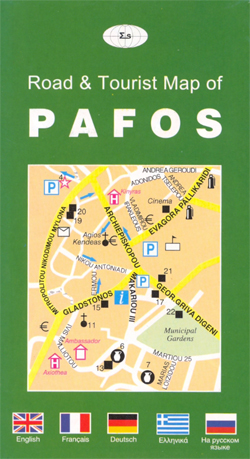
Handy pocket street plan of Pafos at 1:8,000 from Selas; one way streets are marked, with points of interests such as beaches, waterskiing facilities displayed as well as local facilities including hotels.The map is fully indexed with an added index detailing archaeological sites, museums, churches, hotels and more.Map text and index is in roman alphabet
Iceland Central Highlands
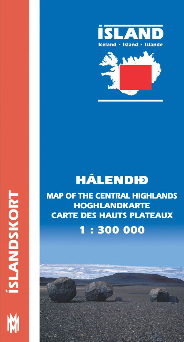
Central Iceland at 1:300,000 in a series from Mรกl og menning covering the country on five road maps with fine presentation of the topography, road network indicating gravel roads, GPS waypoints for important road and track junctions, plus on the reverse photos and descriptions of main sights and an extensive list of the waypoints.Maps in


