Category Archives: Maps
Hornafjรถrรฐur
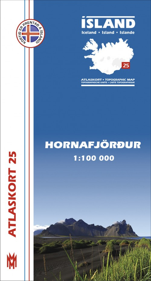
Hornafjรถrรฐur, map no. 25, in the topographic survey of Iceland at 1:100,000 published by Mรกl og menning, with excellent, vivid presentation of the terrain, footpaths and bridleways, campsites, etc. The maps have contours at 20m intervals, enhanced by bold relief shading plus colouring and/or graphics to show glaciers, lava fields, sands and mudflats, as well
Skagi
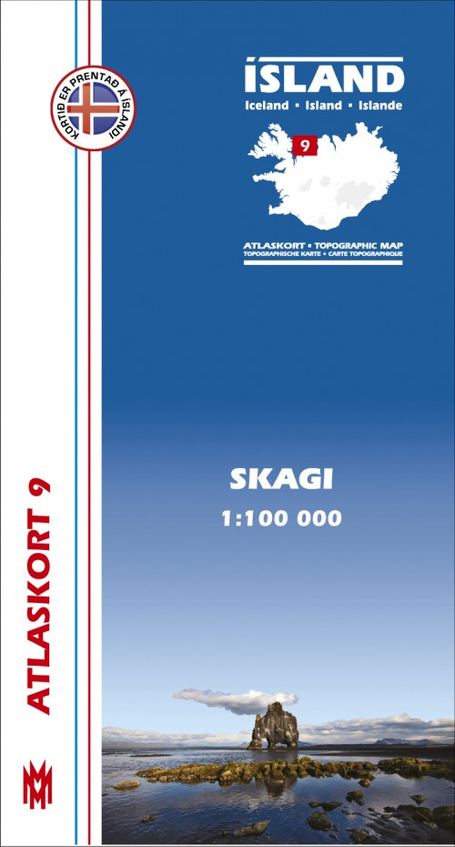
Skagi, map no. 9, in the topographic survey of Iceland at 1:100,000 published by Mรกl og menning, with excellent, vivid presentation of the terrain, footpaths and bridleways, campsites, etc. The maps have contours at 20m intervals, enhanced by bold relief shading plus colouring and/or graphics to show glaciers, lava fields, sands and mudflats, as well
Snรฆfell
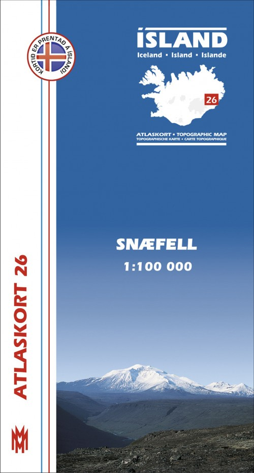
Snรฆfell, map no. 26, in the topographic survey of Iceland at 1:100,000 published by Mรกl og menning, with excellent, vivid presentation of the terrain, footpaths and bridleways, campsites, etc. The maps have contours at 20m intervals, enhanced by bold relief shading plus colouring and/or graphics to show glaciers, lava fields, sands and mudflats, as well
Vatnsdalur
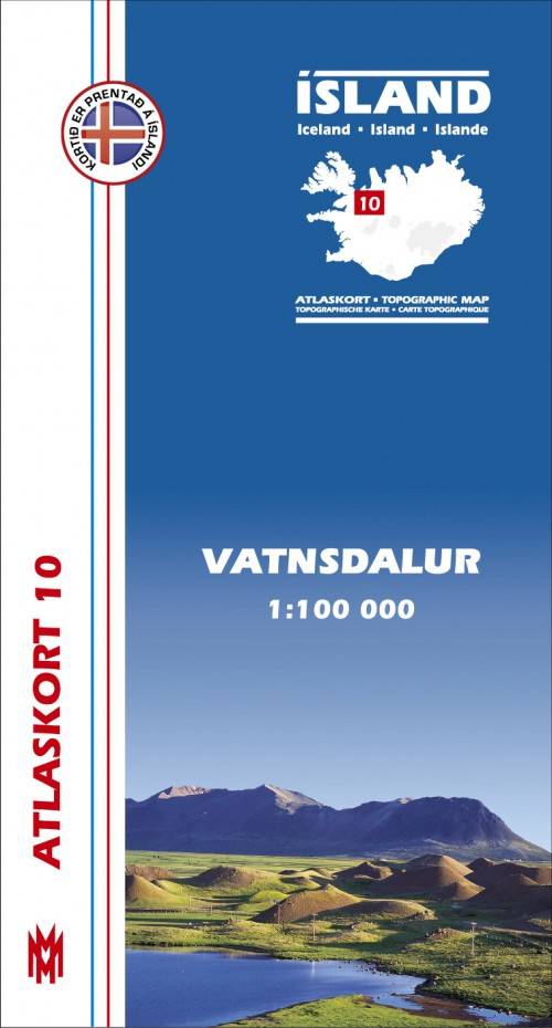
Vatnsdalur, map no. 10, in the topographic survey of Iceland at 1:100,000 published by Mรกl og menning, with excellent, vivid presentation of the terrain, footpaths and bridleways, campsites, etc. The maps have contours at 20m intervals, enhanced by bold relief shading plus colouring and/or graphics to show glaciers, lava fields, sands and mudflats, as well
Fljรณtsdalshรฉraรฐ
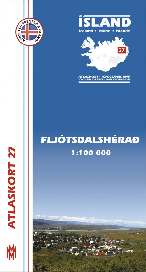
Fljรณtsdalshรฉraรฐ , map no. 27, in the topographic survey of Iceland at 1:100,000 published by Mรกl og menning, with excellent, vivid presentation of the terrain, footpaths and bridleways, campsites, etc. The maps have contours at 20m intervals, enhanced by bold relief shading plus colouring and/or graphics to show glaciers, lava fields, sands and mudflats, as
Langjรถkull
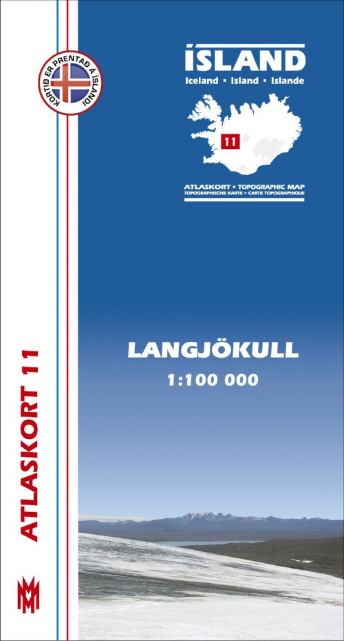
Langjรถkull, map no. 11, in the topographic survey of Iceland at 1:100,000 published by Mรกl og menning, with excellent, vivid presentation of the terrain, footpaths and bridleways, campsites, etc. The maps have contours at 20m intervals, enhanced by bold relief shading plus colouring and/or graphics to show glaciers, lava fields, sands and mudflats, as well
รrnes
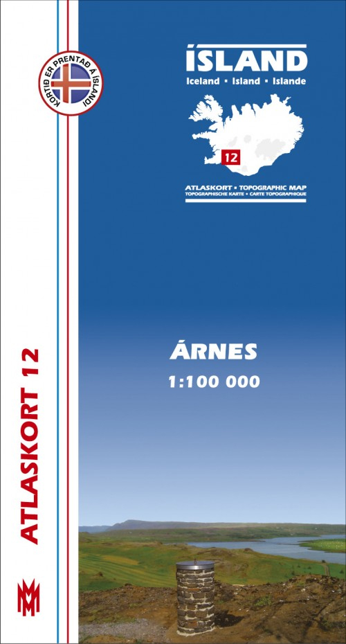
รrnes, map no. 12, in the topographic survey of Iceland at 1:100,000 published by Mรกl og menning, with excellent, vivid presentation of the terrain, footpaths and bridleways, campsites, etc. The maps have contours at 20m intervals, enhanced by bold relief shading plus colouring and/or graphics to show glaciers, lava fields, sands and mudflats, as well
Snรฆfellsnes
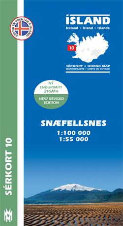
Snรฆfellsnes area of Iceland at 1:100,000 in a series of detailed hiking and recreational topographic maps from Mรกl og menning – the country`s leading cartographic publishers, with beautiful drawings of local birds and tourist information. An enlargement shows the western part of the peninsula with the Snรฆfellsjรถkull in greater detail at 1:50,000.The maps in this
Iceland Birdwatchers` Map
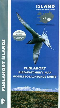
Birdwatchers’ Map of Iceland from Mรกl og menning with 78 species of Iceland’s breeding birds, all with beautiful drawings of the bird itself and of its egg. Each species is presented with a map showing its distribution in summer, winter or all year round, plus a graph indicating months when it can be seen. Icons
Iceland Tectonic Map
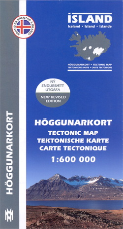
A tectonic map of Iceland by Mรกl og menning in cooperation with the Icelandic Institute of Natural History. It provides an insight into the country’s geological structure and tectonic activity, with multilingual notes on the reverse explaining some of the features portrayed.The general geology is classified on this map by age rather than by type,
Western Fjords
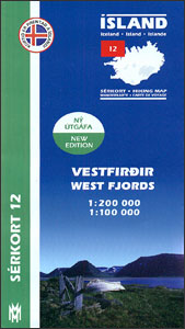
The north-western tip of Iceland in a series of detailed hiking and recreational topographic maps from Mรกl og menning ‘“ the country’s leading cartographic publishers, with beautiful drawings of local birds and tourist information. On one side the whole area is covered by a road map at 1:200,000, on the reverse its south-western part is
Reykjanesskagi
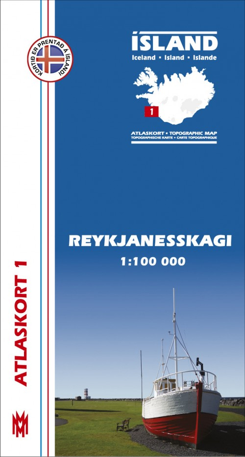
Reykjanesskagi, map no. 1, in the topographic survey of Iceland at 1:100,000 published by Mรกl og menning, with excellent, vivid presentation of the terrain, footpaths and bridleways, campsites, etc. The maps have contours at 20m intervals, enhanced by bold relief shading plus colouring and/or graphics to show glaciers, lava fields, sands and mudflats, as well
Mรฝrar
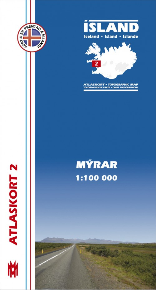
Mรฝrar, map no. 2, in the topographic survey of Iceland at 1:100,000 published by Mรกl og menning, with excellent, vivid presentation of the terrain, footpaths and bridleways, campsites, etc. The maps have contours at 20m intervals, enhanced by bold relief shading plus colouring and/or graphics to show glaciers, lava fields, sands and mudflats, as well
Snรฆfellsjรถkull
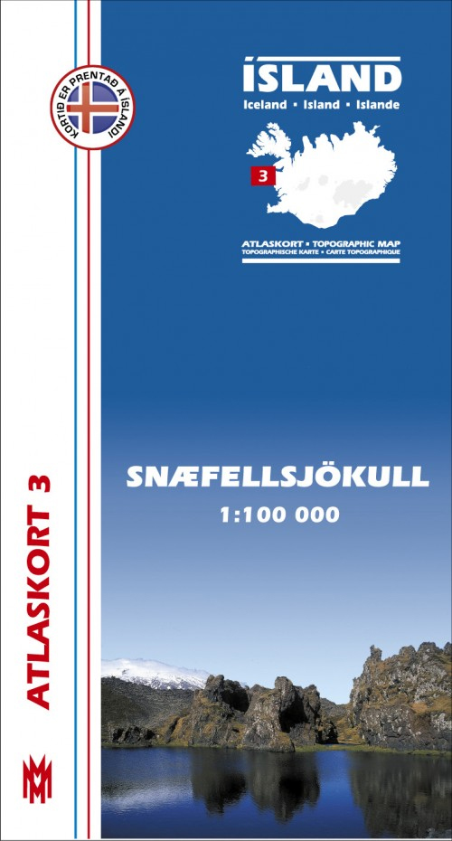
Snรฆfellsjรถkull, map no. 3, in the topographic survey of Iceland at 1:100,000 published by Mรกl og menning, with excellent, vivid presentation of the terrain, footpaths and bridleways, campsites, etc. The maps have contours at 20m intervals, enhanced by bold relief shading plus colouring and/or graphics to show glaciers, lava fields, sands and mudflats, as well
Dalir
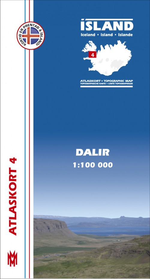
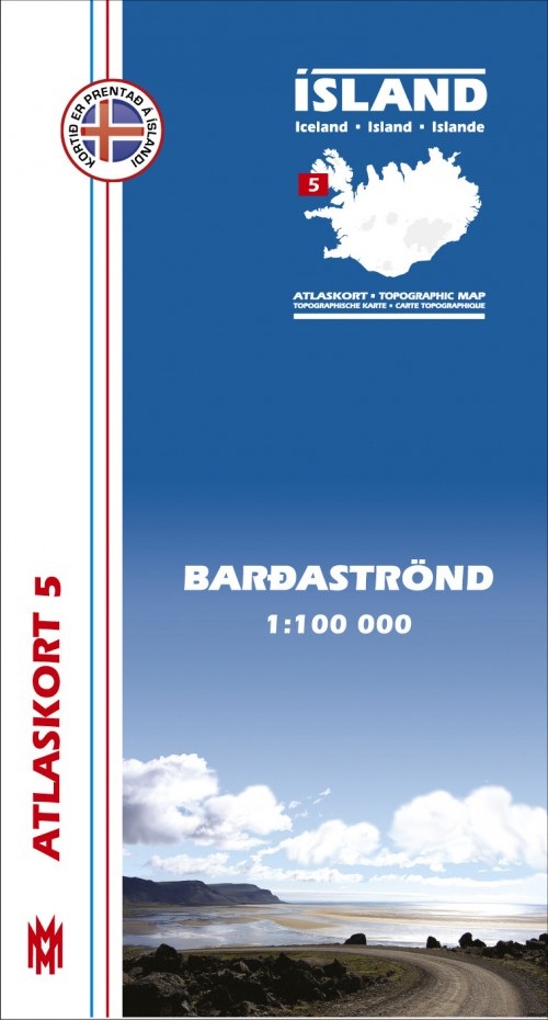
Dalir, map no. 4, in the topographic survey of Iceland at 1:100,000 published by Mรกl og menning, with excellent, vivid presentation of the terrain, footpaths and bridleways, campsites, etc. The maps have contours at 20m intervals, enhanced by bold relief shading plus colouring and/or graphics to show glaciers, lava fields, sands and mudflats, as well
Gullfoss – Geysir – Hekla
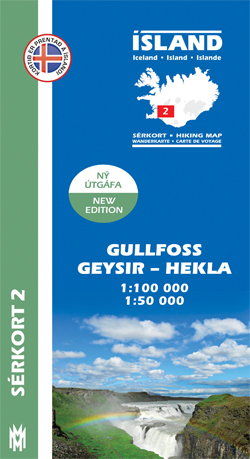
Gullfoss – Geysir – Hekla area of Iceland at 1:100,000 in a series of detailed hiking and recreational topographic maps from Mรกl og menning – the country`s leading cartographic publishers, with beautiful drawings of local birds and tourist information. An enlargement shows Hekla and the surrounding lava fields in greater detail at 1:50,000.The maps in
Kjรถlur – Langjรถkull – Kerlingrafjรถll
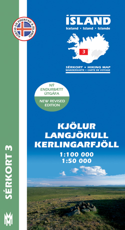
Kjรถlur – Langjรถkull – Kerlingrafjรถll area of Iceland at 1:100,000 in a series of detailed hiking and recreational topographic maps from Mรกl og menning – the country`s leading cartographic publishers, with beautiful drawings of local birds and tourist information. An enlargement shows the Kerlingrafjรถll area in greater detail at 1:50,000.The maps in this series present
Arnarfjรถrรฐur
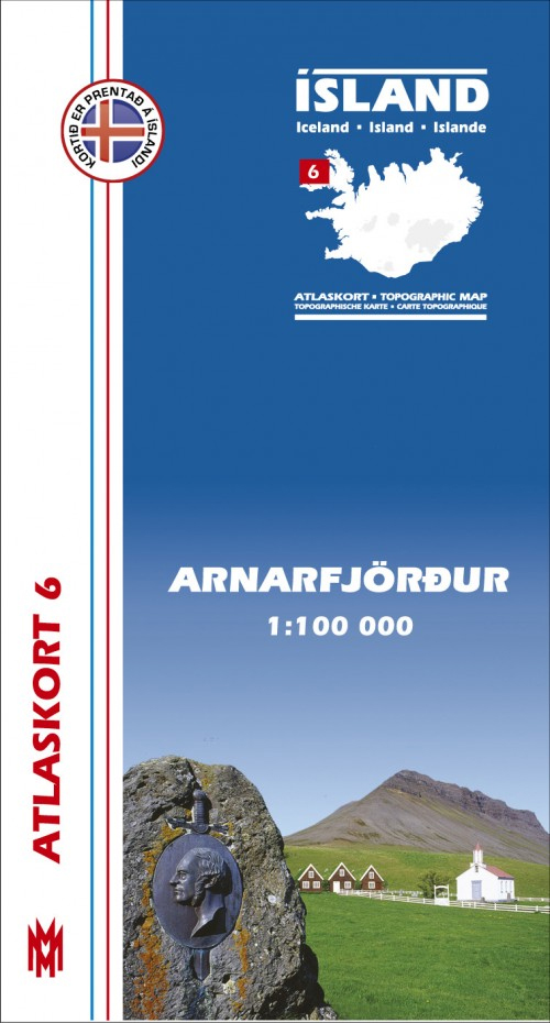
Arnarfjรถrรฐur, map no. 6, in the topographic survey of Iceland at 1:100,000 published by Mรกl og menning, with excellent, vivid presentation of the terrain, footpaths and bridleways, campsites, etc. The maps have contours at 20m intervals, enhanced by bold relief shading plus colouring and/or graphics to show glaciers, lava fields, sands and mudflats, as well
Landmannalaugar – รorsmork – Fjallabak – Eyjafjallajokull Volcano
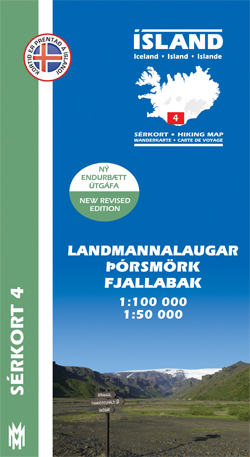
Landmannlaugar – รรณrsmรถrk – Fjallabak area of Iceland at 1:100,000 in a series of detailed hiking and recreational topographic maps from Mรกl og menning – the country`s leading cartographic publishers, with beautiful drawings of local birds and tourist information. An enlargement shows the รรณrsmรถrk area with paths between the Eyjafjallajรถkull and Mรฝrdalsjรถkull in greater detail


