Category Archives: Maps
Iceland Mal og menning Tourist Map
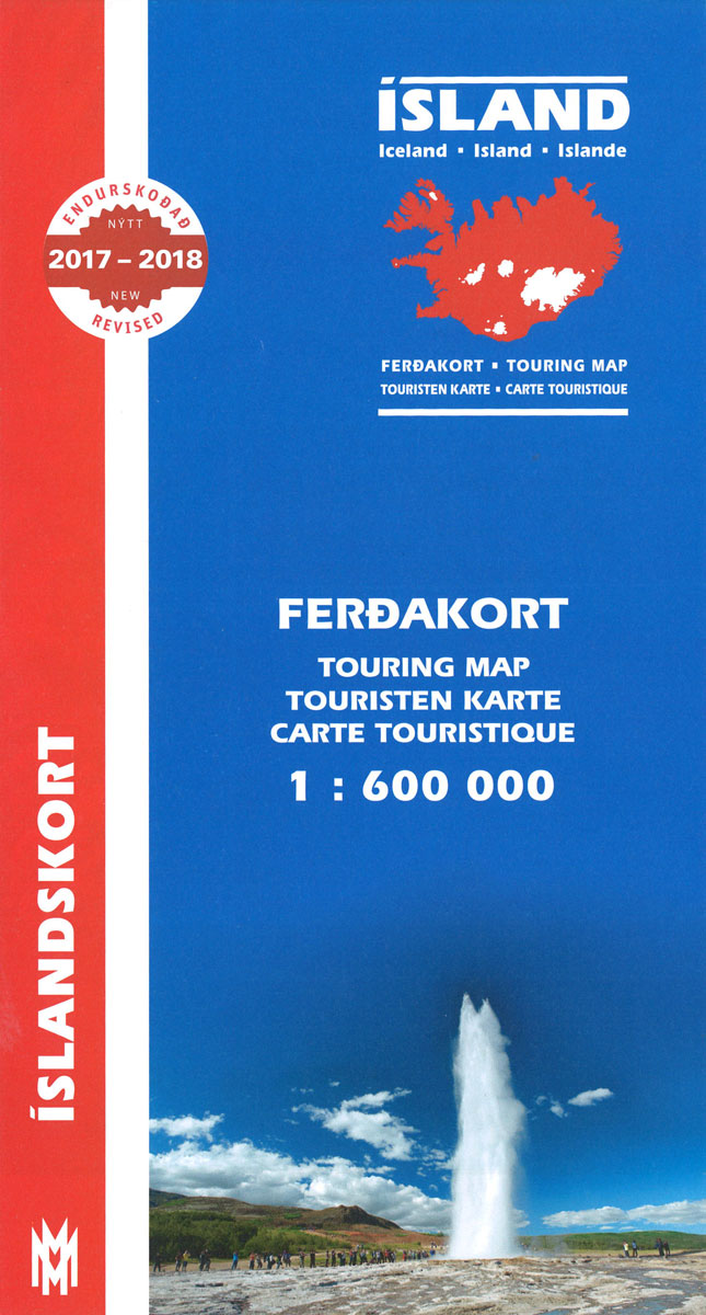
Road map of Iceland from Mรกl og menning, providing a vivid representation of the country’s topography, with illustrated descriptions of 21 of its most visited areas, plus a comprehensive distance table.Relief shading is combined with graphics and colouring to show detailed terrain information: heath, grassland, wetland, birch woodland, sand, lava, glaciers, etc. Hard surface roads,
Langanes
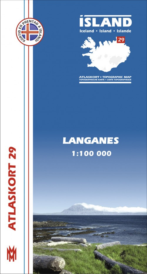
Langanes, map no. 29, in the topographic survey of Iceland at 1:100,000 published by Mรกl og menning, with excellent, vivid presentation of the terrain, footpaths and bridleways, campsites, etc. The maps have contours at 20m intervals, enhanced by bold relief shading plus colouring and/or graphics to show glaciers, lava fields, sands and mudflats, as well
Iceland South West
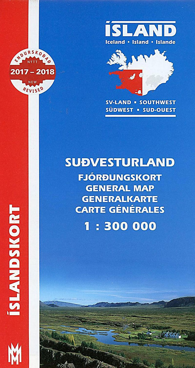
South-West Iceland at 1:300,000 in a series from Mรกl og menning covering the country on five road maps with fine presentation of the topography, road network indicating gravel roads, plus on the reverse photos and descriptions of main sights.Maps in Mรกl og menning ‘s 300K series have contours at 100m intervals, enhanced by very effective
Seyรฐisfjรถrรฐur
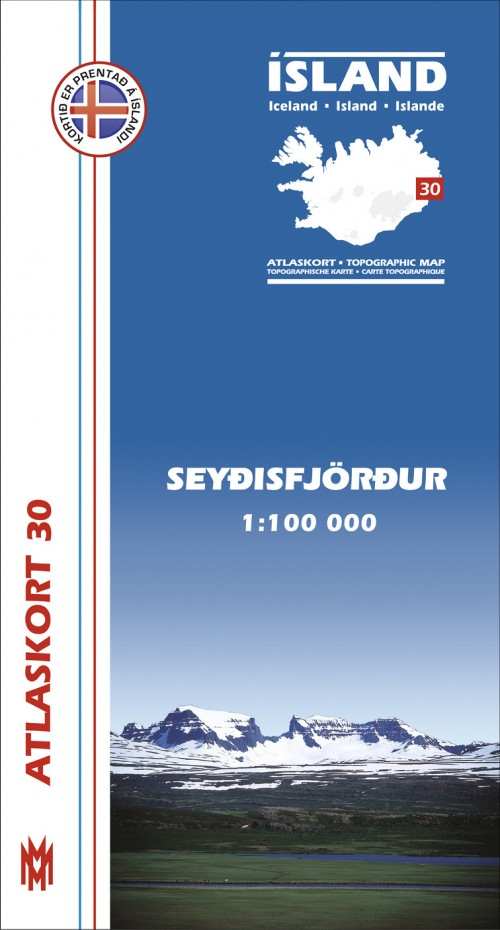
Seyรฐisfjรถrรฐur, map no. 30, in the topographic survey of Iceland at 1:100,000 published by Mรกl og menning, with excellent, vivid presentation of the terrain, footpaths and bridleways, campsites, etc. The maps have contours at 20m intervals, enhanced by bold relief shading plus colouring and/or graphics to show glaciers, lava fields, sands and mudflats, as well
Iceland North West
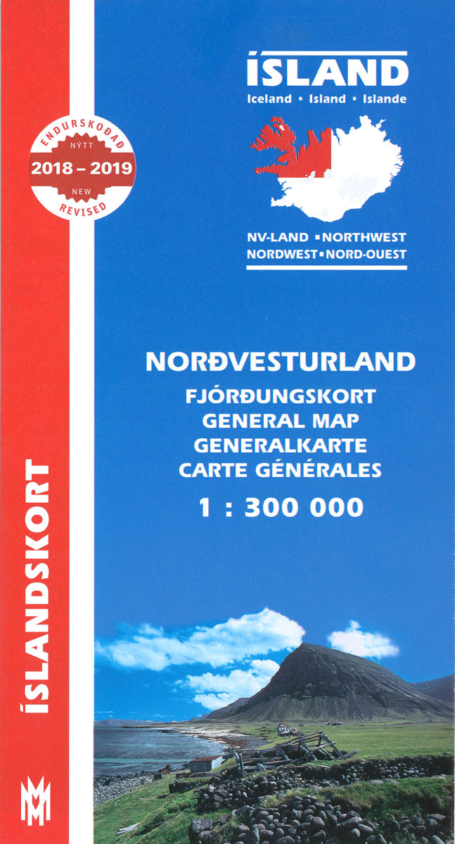
North-West Iceland at 1:300,000 in a series from Mรกl og menning covering the country on five road maps with fine presentation of the topography, road network indicating gravel roads, plus on the reverse photos and descriptions of main sights.Maps in Mรกl og menning ‘s 300K series have contours at 100m intervals, enhanced by very effective
Reyรฐarfjรถrรฐur
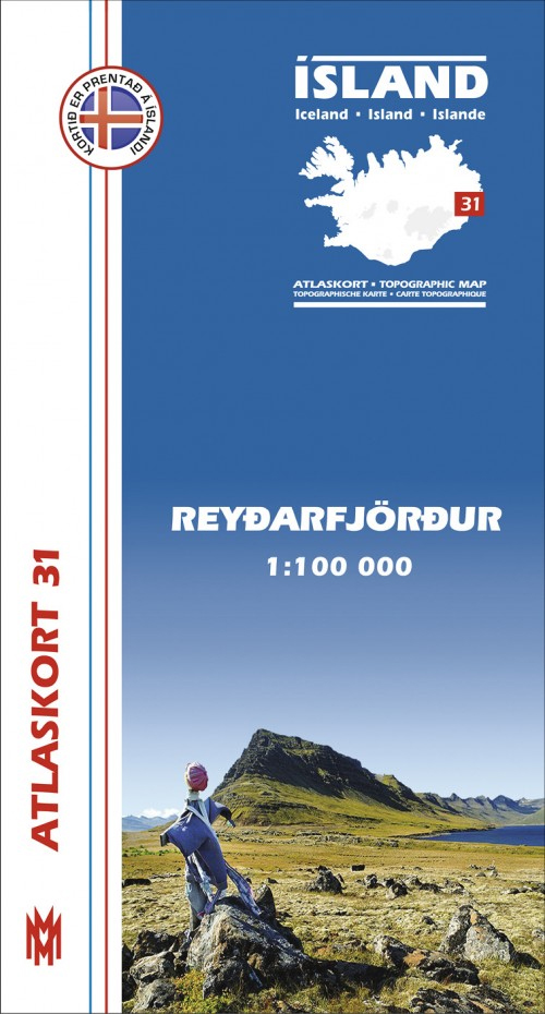
Reyรฐarfjรถrรฐur, map no. 31, in the topographic survey of Iceland at 1:100,000 published by Mรกl og menning, with excellent vivid presentation of the terrain, footpaths and bridleways, campsites, etc. The maps have contours at 20m intervals, enhanced by bold relief shading plus colouring and/or graphics to show glaciers, lava fields, sands and mudflats, as well
Iceland North East
North-Eest Iceland at 1:300,000 in a series from Mรกl og menning covering the country on five road maps with fine presentation of the topography, road network indicating gravel roads, plus on the reverse photos and descriptions of main sights.Maps in Mรกl og menning ‘s 300K series have contours at 100m intervals, enhanced by very effective
Iceland 1:100,000 Complete Set (31 maps)
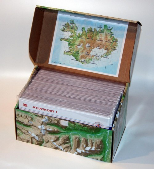
Iceland at 1:100,000 in a Complete Set of 31 topographic survey maps published by Mรกl og menning, with excellent, vivid presentation of the terrain, footpaths and bridleways, campsites, etc. The maps have contours at 20m intervals, enhanced by bold relief shading plus colouring and/or graphics to show glaciers, lava fields, sands and mudflats, as well
Nรฝjabรฆjarfjall
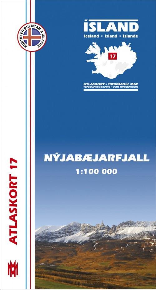
Nรฝjabรฆjarfjall, map no. 17, in the topographic survey of Iceland at 1:100,000 published by Mรกl og menning, with excellent, vivid presentation of the terrain, footpaths and bridleways, campsites, etc. The maps have contours at 20m intervals, enhanced by bold relief shading plus colouring and/or graphics to show glaciers, lava fields, sands and mudflats, as well
Eyjafjรถrรฐur
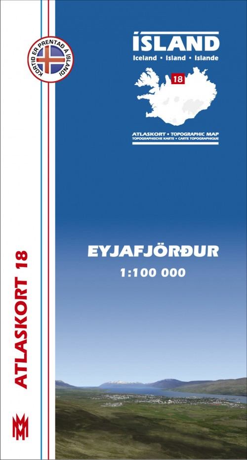
Eyjafjรถrรฐur, map no. 18, in the topographic survey of Iceland at 1:100,000 published by Mรกl og menning, with excellent, vivid presentation of the terrain, footpaths and bridleways, campsites, etc. The maps have contours at 20m intervals, enhanced by bold relief shading plus colouring and/or graphics to show glaciers, lava fields, sands and mudflats, as well
ร–xarfjรถrรฐur

ร–xarfjรถrรฐur, map no. 19, in the topographic survey of Iceland at 1:100,000 published by Mรกl og menning, with excellent, vivid presentation of the terrain, footpaths and bridleways, campsites, etc. The maps have contours at 20m intervals, enhanced by bold relief shading plus colouring and/or graphics to show glaciers, lava fields, sands and mudflats, as well
Kelduhverfi
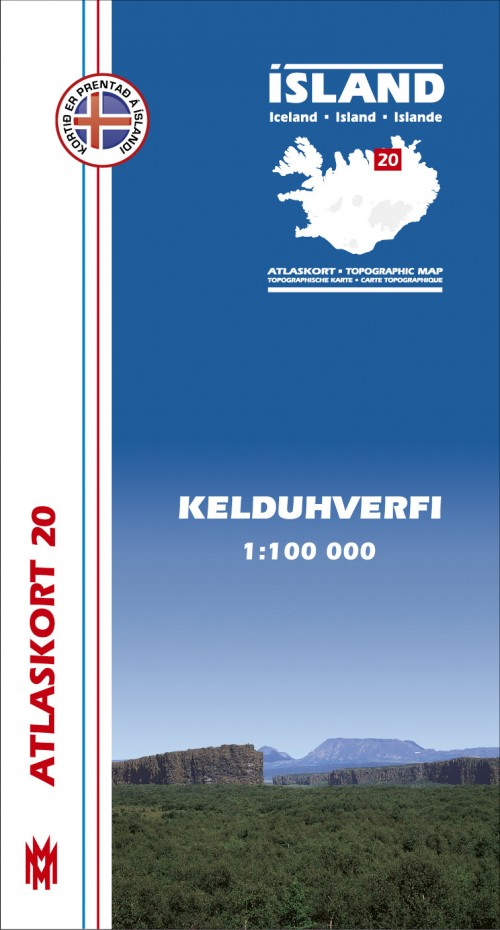
Kelduhverfi, map no. 20, in the topographic survey of Iceland at 1:100,000 published by Mรกl og menning, with excellent, vivid presentation of the terrain, footpaths and bridleways, campsites, etc. The maps have contours at 20m intervals, enhanced by bold relief shading plus colouring and/or graphics to show glaciers, lava fields, sands and mudflats, as well
Mรฝvatnsรถrรฆfi
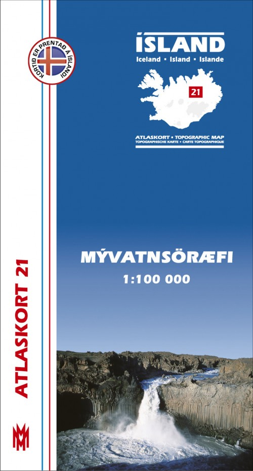
Mรฝvatnsรถrรฆfi, map no. 21, in the topographic survey of Iceland at 1:100,000 published by Mรกl og menning, with excellent, vivid presentation of the terrain, footpaths and bridleways, campsites, etc. The maps have contours at 20m intervals, enhanced by bold relief shading plus colouring and/or graphics to show glaciers, lava fields, sands and mudflats, as well
Kverkfjรถll

Kverkfjรถll , map no. 22, in the topographic survey of Iceland at 1:100,000 published by Mรกl og menning, with excellent, vivid presentation of the terrain, footpaths and bridleways, campsites, etc. The maps have contours at 20m intervals, enhanced by bold relief shading plus colouring and/or graphics to show glaciers, lava fields, sands and mudflats, as
ร–rรฆfajรถkull
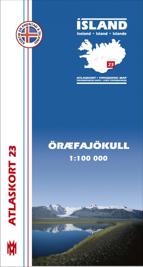
ร–rรฆfajรถkull, map no. 23, in the topographic survey of Iceland at 1:100,000 published by Mรกl og menning, with excellent, vivid presentation of the terrain, footpaths and bridleways, campsites, etc. The maps have contours at 20m intervals, enhanced by bold relief shading plus colouring and/or graphics to show glaciers, lava fields, sands and mudflats, as well
Skeiรฐarรกrsandur
Skeiรฐarรกrsandur, map no. 24, in the topographic survey of Iceland at 1:100,000 published by Mรกl og menning, with excellent, vivid presentation of the terrain, footpaths and bridleways, campsites, etc. The maps have contours at 20m intervals, enhanced by bold relief shading plus colouring and/or graphics to show glaciers, lava fields, sands and mudflats, as well
Strandir
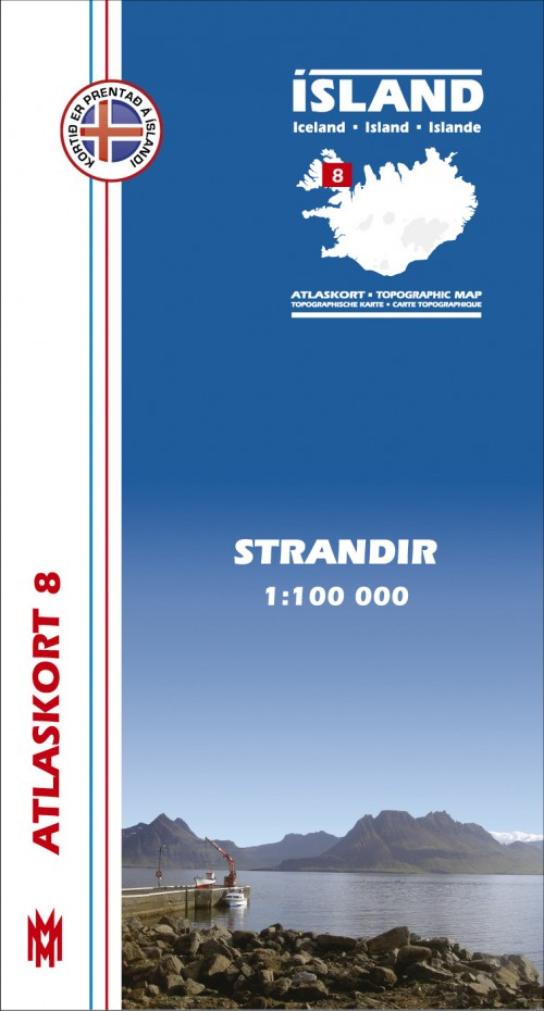
Strandir, map no. 8, in the topographic survey of Iceland at 1:100,000 published by Mรกl og menning, with excellent, vivid presentation of the terrain, footpaths and bridleways, campsites, etc. The maps have contours at 20m intervals, enhanced by bold relief shading plus colouring and/or graphics to show glaciers, lava fields, sands and mudflats, as well
Hornafjรถrรฐur
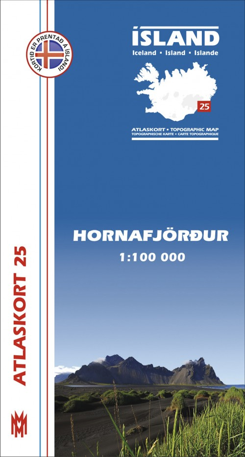
Hornafjรถrรฐur, map no. 25, in the topographic survey of Iceland at 1:100,000 published by Mรกl og menning, with excellent, vivid presentation of the terrain, footpaths and bridleways, campsites, etc. The maps have contours at 20m intervals, enhanced by bold relief shading plus colouring and/or graphics to show glaciers, lava fields, sands and mudflats, as well
Skagi
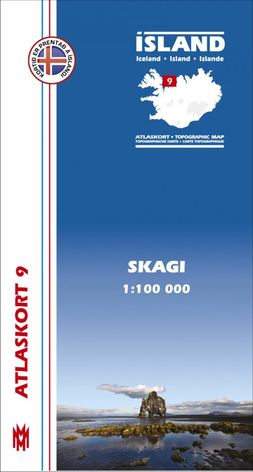
Skagi, map no. 9, in the topographic survey of Iceland at 1:100,000 published by Mรกl og menning, with excellent, vivid presentation of the terrain, footpaths and bridleways, campsites, etc. The maps have contours at 20m intervals, enhanced by bold relief shading plus colouring and/or graphics to show glaciers, lava fields, sands and mudflats, as well
Snรฆfell
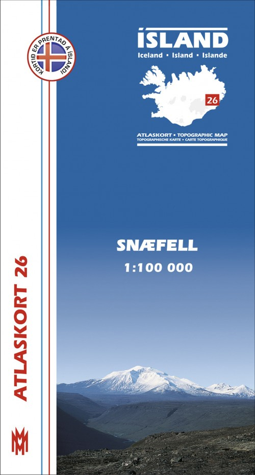
Snรฆfell, map no. 26, in the topographic survey of Iceland at 1:100,000 published by Mรกl og menning, with excellent, vivid presentation of the terrain, footpaths and bridleways, campsites, etc. The maps have contours at 20m intervals, enhanced by bold relief shading plus colouring and/or graphics to show glaciers, lava fields, sands and mudflats, as well


