Category Archives: Maps
Iceland Mal og menning Road Atlas 2021-2023
Road Atlas of Iceland at 1:300,000 from Mรกl og menning in a spiral-bound glovebox format, with 35 street plans, several thematic maps, and cartography derived from the company’s outstanding mapping at 1:100,000.The representation of country’s topography is particularly vivid, with excellent relief shading based on satellite imagery supplemented by contours at 100m intervals plus colouring
Latvia Jana Seta Road Atlas
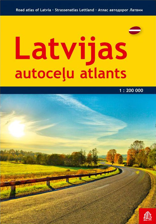
Latvia Road Atlas from the Riga based Jana Seta, in an A4 paperback format with enlargements at 1:100,000 for national parks and environs of main towns, plus over 100 indexed street plans. The main section covers the whole of Latvia at 1:200,000, showing detailed classification of road network with petrol stations, and railway lines with
Iceland Highlands
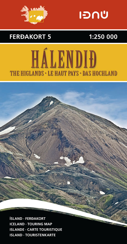
The Highlands of central Iceland at 1:250,000 in a series of detailed, contoured road maps of Iceland with cartography based on the country’s topographic survey, supplemented by additional tourist information. Contours are at 50m intervals, enhanced by relief shading with additional graphics and colouring showing different types of terrain and vegetation: glaciers, lava fields, sand,
Gaujas National Park
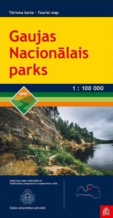
Map of the National Park with enlarged scale insets of key areas and towns within the park. Detail includes roads, tracks & unsurfaced roads, with intermediate driving distances marked on main routes. Distances along rivers are also indicated. Administrative boundaries and reserves are marked. Other details: railways, various naatural and cultural landmarks, orchards, notable trees,
Iceland North-West IDNU 1
North-West Iceland at 1:250,000 in a series of detailed, contoured road maps of Iceland with cartography based on the country’s topographic survey, supplemented by additional tourist information. Contours are at 50m intervals, enhanced by relief shading with additional graphics and colouring showing different types of terrain and vegetation: glaciers, lava fields, sand, forest and shrubbery,
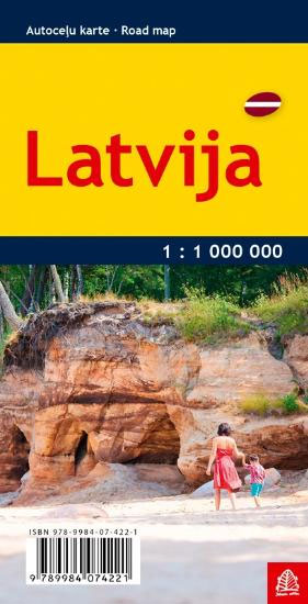
Latvia Jana Seta Pocket Map
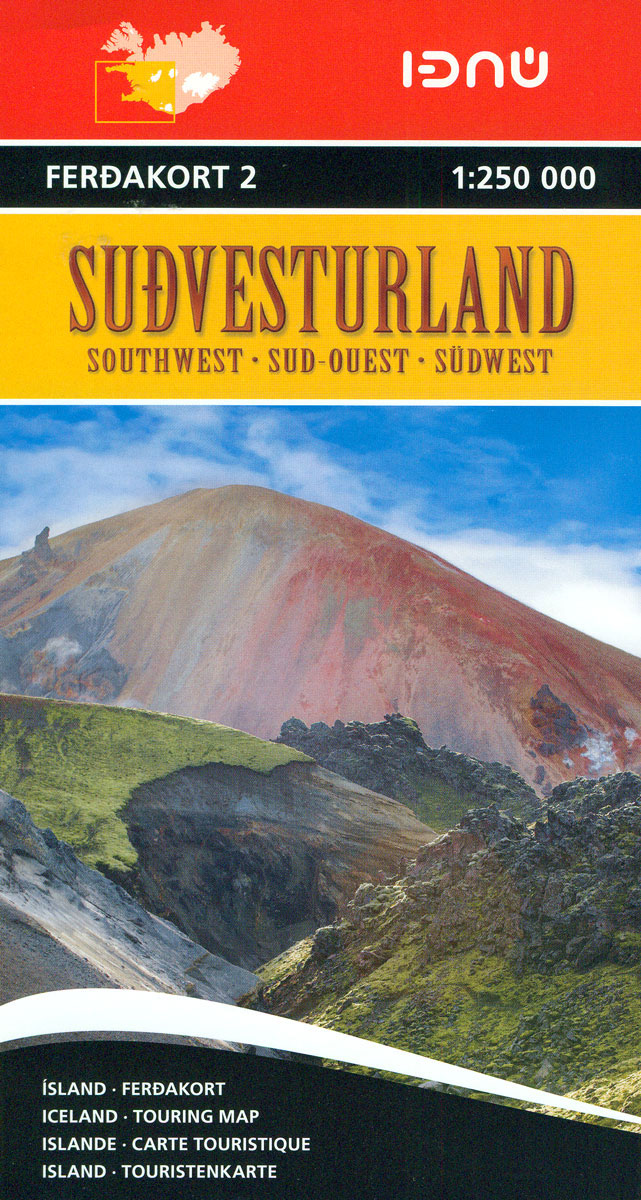
Iceland South-West IDNU 2

South-West Iceland in a series of detailed, contoured road maps of Iceland with cartography based on the country’s topographic survey, supplemented by additional tourist information. Contours are at 50m intervals, enhanced by relief shading with additional graphics and colouring showing different types of terrain and vegetation: glaciers, lava fields, sand, forest and shrubbery, cultivated land,
Iceland North-East IDNU 3

North-East Iceland at 1:250,000 in a series of detailed, contoured road maps of Iceland with cartography based on the country’s topographic survey, supplemented by additional tourist information. Contours are at 50m intervals, enhanced by relief shading with additional graphics and colouring showing different types of terrain and vegetation: glaciers, lava fields, sand, forest and shrubbery,
Iceland East: Vatnajรถkull – Egilsstaรฐir
Eastern Iceland at 1:200,000 on a detailed map from Mรกl og Menning with exceptionally vivid presentation of the country’s topography and landscape, hard surface or gravel roads and numerous country tracks, superb drawings of local birds and flowers, etc. Coverage extends from the central part of the Vatnajรถkull Glacier with Grimsfjall in the south-west to
Iceland South East: Southern Vatnajรถkull
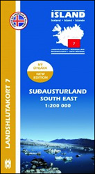
South-Eastern Iceland at 1:200,000 on a detailed map from Mรกl og Menning with exceptionally vivid presentation of the country’s topography and landscape, hard surface or gravel roads and numerous country tracks, superb drawings of local birds and flowers, etc. Coverage extends southwards from the central part of the Vatnajรถkull Glacier with Grimsfjall and westwards to
Iceland Cental: Langjรถkull – Hofsjรถkull – Vatnajรถkull
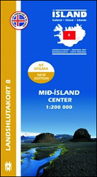
Central Iceland at 1:200,000 on a detailed map from Mรกl og Menning with exceptionally vivid presentation of the country’s topography and landscape, hard surface or gravel roads and numerous country tracks, superb drawings of local birds and flowers, etc. Coverage extends from Havmmstangi in the north-western corner of the map to the Grรญmsvรถtn part of
Iceland Manuscript Map
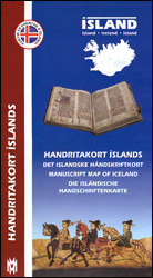
The Manuscript Map of Iceland from Mรกl og menning with 43 panels providing pictures and brief descriptions of the oldest Icelandic manuscripts, each accompanied by a small map indicating its association with a specific location, whilst a larger map of the whole country is cross-referenced to the individual entries. The accompanying text is in Icelandic,
Iceland Geological Map
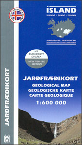
Geological map of Iceland, one of the most beautiful maps in our stock, in lovely pastel colours, published by Mรกl og menning in cooperation with the Icelandic Institute of Natural History. The map presents main features of bedrock geology. Formations are classified by age, type and composition. The map also clearly shows Iceland’s volcanic zones
Iceland Mal og menning Whale Watchers` Map
Beautifully illustrated reference map of the distribution of cetaceans in the northern Atlantic.The Whale Map shows all the major whale species around Iceland, including distribution maps and information about sizes and age. The water-colour illustrations are by Jon Baldur Hilรฐberg. The Whale Map is an essential companion for all nature lovers who want to learn
Vopnafjรถrรฐur
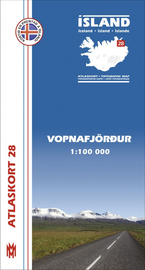
Vopnafjรถrรฐur, map no. 28, in the topographic survey of Iceland at 1:100,000 published by Mรกl og menning, with excellent, vivid presentation of the terrain, footpaths and bridleways, campsites, etc. The maps have contours at 20m intervals, enhanced by bold relief shading plus colouring and/or graphics to show glaciers, lava fields, sands and mudflats, as well
Iceland Mal og menning Tourist Map
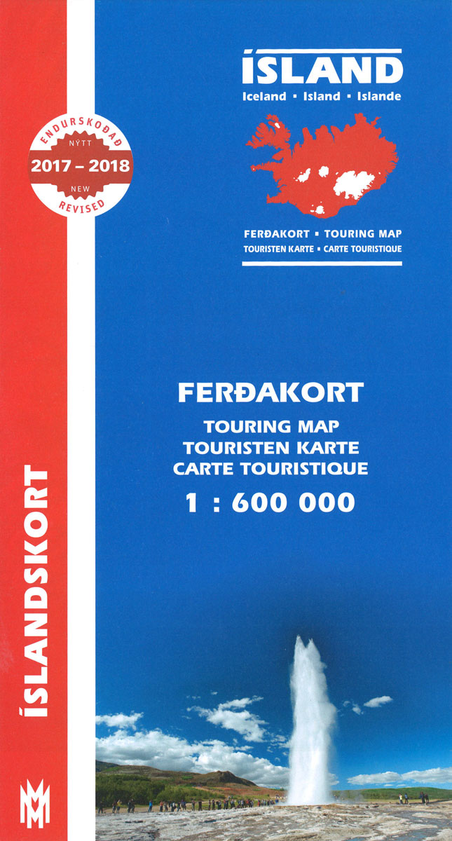
Road map of Iceland from Mรกl og menning, providing a vivid representation of the country’s topography, with illustrated descriptions of 21 of its most visited areas, plus a comprehensive distance table.Relief shading is combined with graphics and colouring to show detailed terrain information: heath, grassland, wetland, birch woodland, sand, lava, glaciers, etc. Hard surface roads,
Langanes
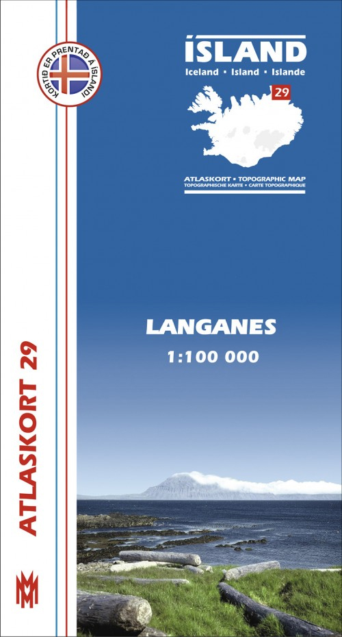
Langanes, map no. 29, in the topographic survey of Iceland at 1:100,000 published by Mรกl og menning, with excellent, vivid presentation of the terrain, footpaths and bridleways, campsites, etc. The maps have contours at 20m intervals, enhanced by bold relief shading plus colouring and/or graphics to show glaciers, lava fields, sands and mudflats, as well
Iceland South West
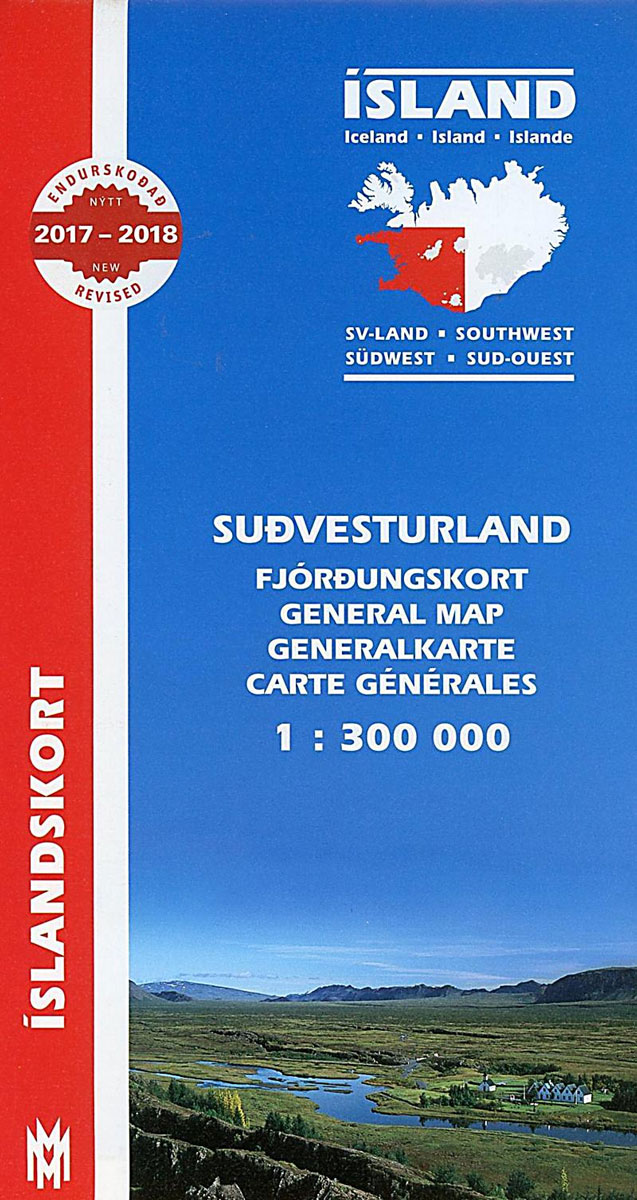
South-West Iceland at 1:300,000 in a series from Mรกl og menning covering the country on five road maps with fine presentation of the topography, road network indicating gravel roads, plus on the reverse photos and descriptions of main sights.Maps in Mรกl og menning ‘s 300K series have contours at 100m intervals, enhanced by very effective
Seyรฐisfjรถrรฐur
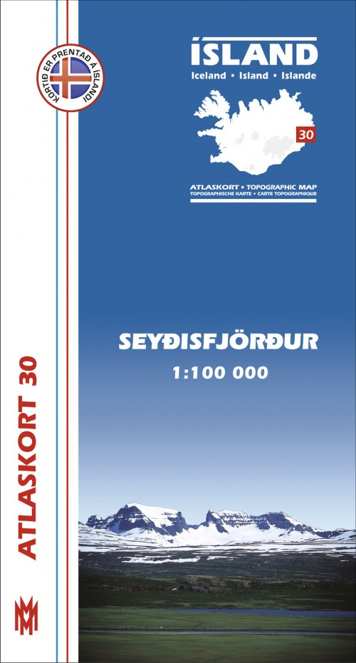
Seyรฐisfjรถrรฐur, map no. 30, in the topographic survey of Iceland at 1:100,000 published by Mรกl og menning, with excellent, vivid presentation of the terrain, footpaths and bridleways, campsites, etc. The maps have contours at 20m intervals, enhanced by bold relief shading plus colouring and/or graphics to show glaciers, lava fields, sands and mudflats, as well
Iceland North West
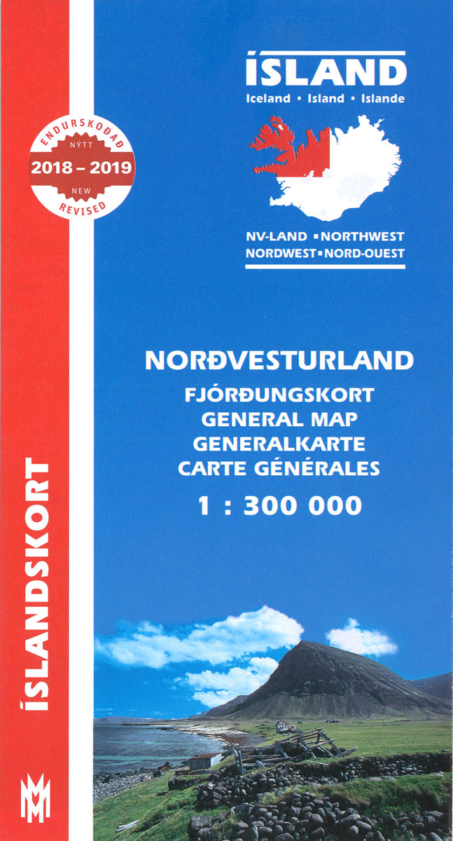
North-West Iceland at 1:300,000 in a series from Mรกl og menning covering the country on five road maps with fine presentation of the topography, road network indicating gravel roads, plus on the reverse photos and descriptions of main sights.Maps in Mรกl og menning ‘s 300K series have contours at 100m intervals, enhanced by very effective


