Category Archives: Maps
Latgale South Jana Seta Tourist Map
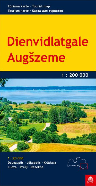
One of the titles in a series of detailed touring maps of Latvia with street plans of main towns. The maps, produced by Baltic States’ leading cartographic publisher, Riga based Jana Seta, show the country’s road network indicating unsurfaced roads and mark locations of petrol stations. Railway lines are shown with stations. Symbols highlight various
Kurzeme North Jana Seta Tourist Map
One of the titles in a series of detailed touring maps of Latvia with street plans of main towns. The maps, produced by Baltic States’ leading cartographic publisher, Riga based Jana Seta, show the country’s road network indicating unsurfaced roads and mark locations of petrol stations. Railway lines are shown with stations. Symbols highlight various
Central Latvia Jana Seta Tourist Map
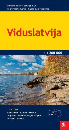
One of the titles in a series of detailed touring maps of Latvia with street plans of main towns. The maps, produced by Baltic States’ leading cartographic publisher, Riga based Jana Seta, show the country’s road network indicating unsurfaced roads and mark locations of petrol stations. Railway lines are shown with stations. Symbols highlight various
Kurzeme South Jana Seta Tourist Map
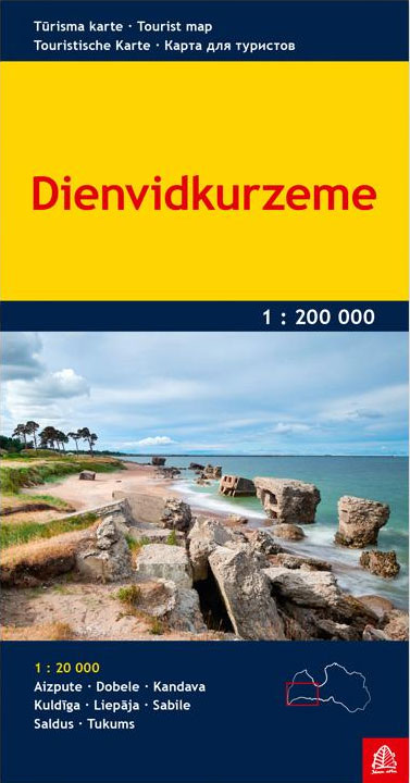
One of the titles in a series of detailed touring maps of Latvia with street plans of main towns. The maps, produced by Baltic States’ leading cartographic publisher, Riga based Jana Seta, show the country’s road network indicating unsurfaced roads and mark locations of petrol stations. Railway lines are shown with stations. Symbols highlight various
Lithuania & Kaliningrad Jana Seta Road Map
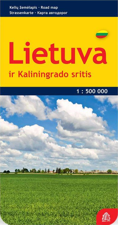
Lithuania and the Kaliningrad Oblast of Russia at 1:500,000 on an indexed road from the Riga based Jana Seta, with transit maps of Vilnius, Kaunas, Klaipeda, Panevezys, Siauliai and Kaliningrad, plus a distance table. The map presents road network in detail, distinguishing between paved, gravel and unsurfaced roads, showing locations of petrol stations, driving distances
Moscow Jana Seta Street Plan
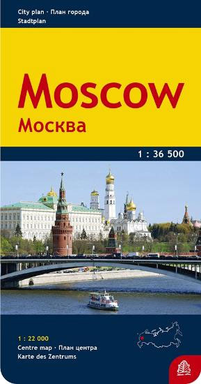
Large street plan of Moscow extending beyond its outer ring-road, with dual script place-names and house numbers, an enlargement for the city centre and a booklet with a street index and lists hotels, places of interest, etc.The map plan extends just beyond the city’s outer ring road. Names of most streets, districts and neighbourhoods, parks,
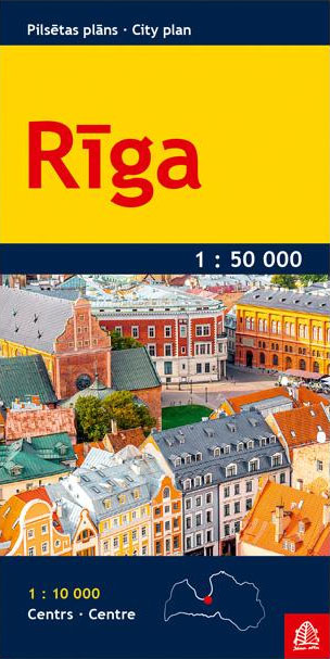
Riga Jana Seta Pocket Street Plan
Kaunas Jana Seta Street Plan
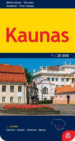
Kaunas at 1:25,000 on an indexed street plan from Jana Seta, covering the city with its outer suburbs, plus an enlargement showing in greater detail its city centre. Bus and trolleybus routes are shown with line numbers. For drivers principal traffic arteries are highlighted, one way streets are marked, as are locations of petrol stations
Thorsmork – Landmannalaugar IDNU Map
รรณrsmรถrk – Landmannalaugar region at 1:100,000 in a series of special detailed hiking and touring maps based on the Icelandic topographic survey, covering an area east and south of the Hekla volcano, showing the lava fields annotated with dates of various eruptions. Contours are at 20-metre intervals, with several types of terrain and vegetation indicated,
Skaftafell National Park IDNU Map
Skaftafell National Park at 1:100,000, with on the reverse an enlargement of the Skaftafell area at 1:25,000, in a series of special detailed hiking and touring maps, based on the Icelandic topographic survey, covering the most visited parts of the country. Contours at 20m intervals, with bright colouring and/or graphics show different types of vegetation
Husavik – Lake Mรฝvatn IDNU Map
Husavik ‘“ Mรฝvatn at 1:100,000 in a series of special detailed hiking and touring maps, based on the Icelandic topographic survey, covering an area south of Hรบsavik including Lake Mรฝvatn and its surroundings. Contours are at 20-metre intervals, with several types of terrain and vegetation indicated, e.g. different types of forest, sand, moraine, lava, etc.
Hornstrandir IDNU Map
Hornstrandir area at 1:100,000 in a series of special detailed hiking and touring maps, based on the Icelandic topographic survey, covering the most visited parts of the country. Contours at 20m intervals and bright colouring show different types of vegetation and terrain. Local footpaths indicate sections with waymarking and coastal routes passable only at low
Westman Islands
Vestmannaeyjaer/Westman Islands at 1:50,000 in a series of special detailed hiking and touring maps, based on the Icelandic topographic survey, covering the most visited parts of the country. The map provides topographic coverage of the islands, with a street plan of the built-up area on Heimaey. On the reverse, an aerial photo shows Haimaey Island
Map of the Glaciers of Iceland
Overview map of Iceland at 1:500,000 showing the changes in the extent of its glacier cover since the Little Ice Age maximum around 1890 to the beginning of 2000s, with additional markings for glacier margins around 1945. The base map presents the country’s topography by contours at 100m intervals with spot heights, rivers and lakes,
Europe Eastern Jana Seta Road Map

Double-sided, political road map encomapssing a large area. One side depicts Eastern Europe from the Crimea to Karelia, and from Gdansk in Poland to Nisjnij Novgorod in Russia. South-west Finland is excluded, but there is an inset at 1:3,000,000 showing the Kola Peninsula region.The reverse side reaches further into Russia, extending from Moscow & Rostov-na-Donu
Iceland South East
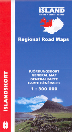
South-East Iceland at 1:300,000 in a series from Mรกl og menning covering the country on five road maps with fine presentation of the topography, road network indicating gravel roads, plus on the reverse photos and descriptions of main sights.Maps in Mรกl og menning ‘s 300K series have contours at 100m intervals, enhanced by very effective
Baltic States Jana Seta Road Map
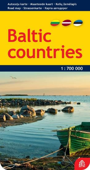
Different types of roads are clearly marked and named. Petrol stations, hotels and campsites, airports, sea ports and checkpoints. Railways are shown. International borders and internal administrative boundaries are marked. Driving distances are marked on main roads.Multilingual Legend includes Engrish and Russian.No index.
Iceland Mal og menning Road Atlas 2021-2023
Road Atlas of Iceland at 1:300,000 from Mรกl og menning in a spiral-bound glovebox format, with 35 street plans, several thematic maps, and cartography derived from the company’s outstanding mapping at 1:100,000.The representation of country’s topography is particularly vivid, with excellent relief shading based on satellite imagery supplemented by contours at 100m intervals plus colouring
Latvia Jana Seta Road Atlas
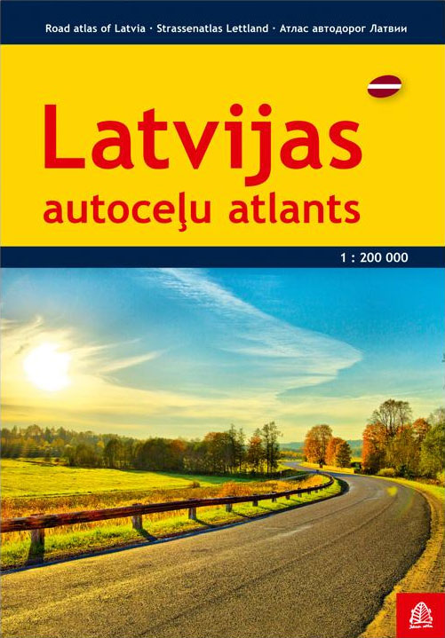
Latvia Road Atlas from the Riga based Jana Seta, in an A4 paperback format with enlargements at 1:100,000 for national parks and environs of main towns, plus over 100 indexed street plans. The main section covers the whole of Latvia at 1:200,000, showing detailed classification of road network with petrol stations, and railway lines with
Iceland Highlands
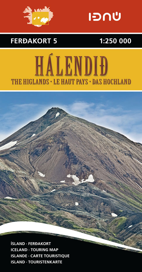
The Highlands of central Iceland at 1:250,000 in a series of detailed, contoured road maps of Iceland with cartography based on the country’s topographic survey, supplemented by additional tourist information. Contours are at 50m intervals, enhanced by relief shading with additional graphics and colouring showing different types of terrain and vegetation: glaciers, lava fields, sand,


