Category Archives: Maps
Russia and the Neighbouring Countries Jana Seta Road Map
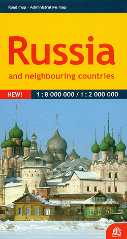
Russia on a double-sided map from Jana Seta combining coverage of the whole country at 1:8,000,000 with more detailed mapping at 1:2,000,000 of its western part. Extensive index is in a separate booklet attached on the map cover.On one side is a lovely clear map at 1:8,000,000 with its projection providing coverage from London to
Tallinn Jana Seta Street Plan WATERPROOF

Tallinn on a waterproof and tear-resistant indexed street plan from Jana Seta, including on the reverse side an enlargement of the city’s Old Town, a diagram of the public transport lines, plus descriptions of main places of interest.On one side is the city with its outer districts indicating locations of six main places of interest
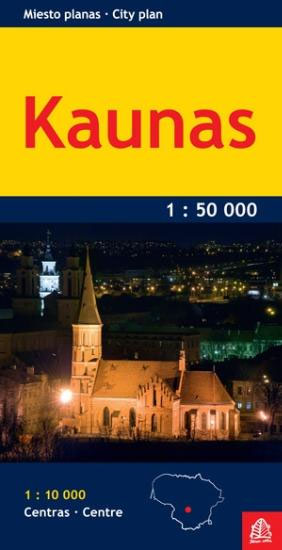
Kaunas Jana Seta Street Plan WATERPROOF
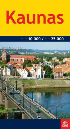
Kaunas on waterproof and tear-resistant street plan from Jana Seta, combining a plan of the city at 1:25,000 with a more detailed enlargement of its centre at 1:10,000, plus a large, clear diagram of the trolleybus network.On one side is a plan of the city with its outer districts, showing trolleybus routes with line numbers,
Vidzeme East – Latgale North Jana Seta Tourist Map
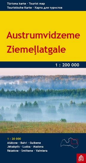
One of the titles in a series of detailed touring maps of Latvia with street plans of main towns. The maps, produced by Baltic States’ leading cartographic publisher, Riga based Jana Seta, show the country’s road network indicating unsurfaced roads and mark locations of petrol stations. Railway lines are shown with stations. Symbols highlight various
Vilnius Jana Seta Street Plan WATERPROOF
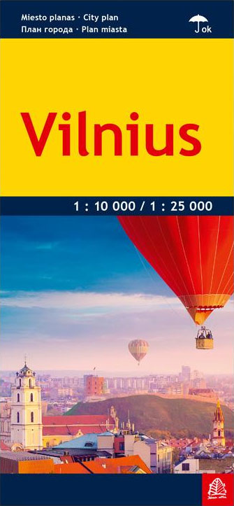
Vilnius on a waterproof and tear-resistant, indexed street plan from the Riga-based publishers Jana Seta, including on the reverse side an enlargement of the city centre and a diagram of the public transport lines.On one side Vilnius with its outer districts is shown at 1:25,000. On the reverse the city centre is presented in greater
Kaunas Jana Seta Pocket Street Plan
Latvia 700K Jana Seta Map
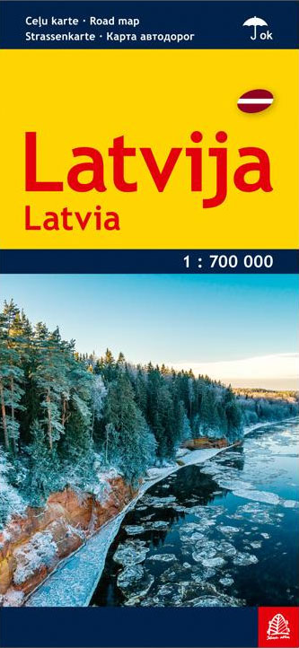
Latvia at 1:700,000 on awaterproof and tear-resistant, indexed road map from the Riga-based publishers Jana Seta, with a plan of transit routes across Riga plus a distance table.The map presents the country’s road and rail networks, showing driving distance on main roads and highlighting towns and other locations of special interest. National parks and other
Balvi District – Baltinava, Rugaji, Vilaka Districts Jana Seta Map
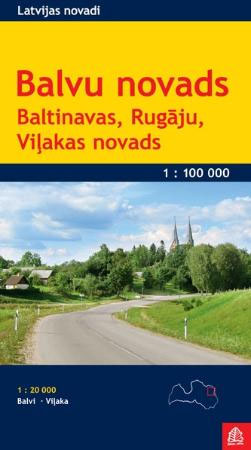
This first edition has been prepared using the latest aerial photographs available, latest cartographic and address information and field survey dataRoad network and housing layouts have been precisely updated, tourism and service objects are given, as well as the nature protection territories, forests and hydrography.We hold we have created the best, the most accurate and
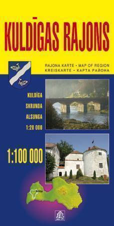
Kuldiga and Kuldiga Region
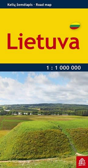
Lithuania Jana Seta Pocket Map
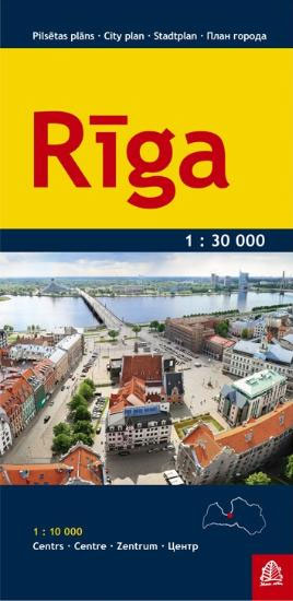
Riga City Center Jana Seta Street Plan
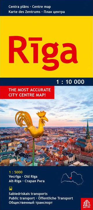
Central Riga on a tourist street plan combining coverage of the city’s inner districts with a large, clear plan of its historic heart, a diagram of public transport lines across the city and its suburbs, plus contact details for its museums, etc.On one side is a street plan at 1:10,000 showing Riga’s inner districts on
Jurmala Jana Seta Street Plan
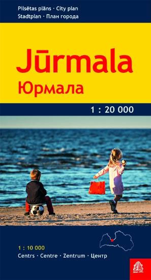
Riga and Jurmala on waterproof and tear-resistant street plan from Jana Seta, including on the reverse side a large street plan at 1:7,000 of Riga’s central districts highlighting 25 of the city’s principal tourist sites.On one side is a detail plan of the city’s historic heart and the surrounding districts. Tram routs are shown with
Vidzeme North Jana Seta Tourist Map
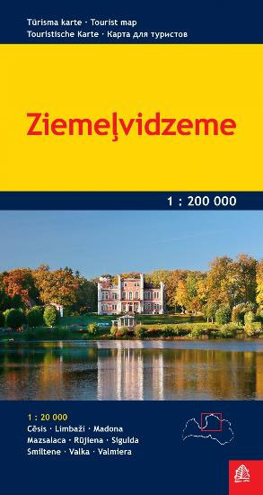
One of the titles in a series of detailed touring maps of Latvia with street plans of main towns. The maps, produced by Baltic States’ leading cartographic publisher, Riga based Jana Seta, show the country’s road network indicating unsurfaced roads and mark locations of petrol stations. Railway lines are shown with stations. Symbols highlight various
Latgale South Jana Seta Tourist Map
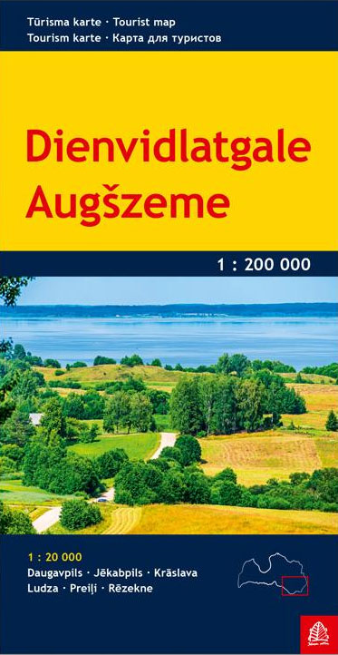
One of the titles in a series of detailed touring maps of Latvia with street plans of main towns. The maps, produced by Baltic States’ leading cartographic publisher, Riga based Jana Seta, show the country’s road network indicating unsurfaced roads and mark locations of petrol stations. Railway lines are shown with stations. Symbols highlight various
Kurzeme North Jana Seta Tourist Map
One of the titles in a series of detailed touring maps of Latvia with street plans of main towns. The maps, produced by Baltic States’ leading cartographic publisher, Riga based Jana Seta, show the country’s road network indicating unsurfaced roads and mark locations of petrol stations. Railway lines are shown with stations. Symbols highlight various
Central Latvia Jana Seta Tourist Map
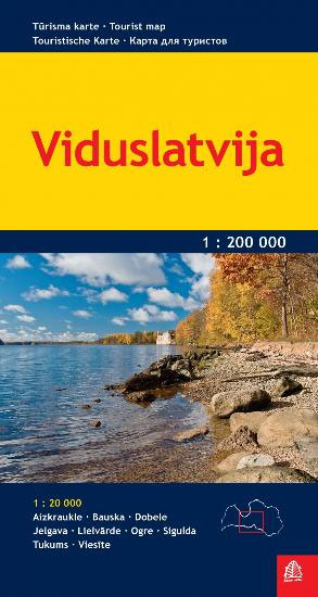
One of the titles in a series of detailed touring maps of Latvia with street plans of main towns. The maps, produced by Baltic States’ leading cartographic publisher, Riga based Jana Seta, show the country’s road network indicating unsurfaced roads and mark locations of petrol stations. Railway lines are shown with stations. Symbols highlight various
Kurzeme South Jana Seta Tourist Map
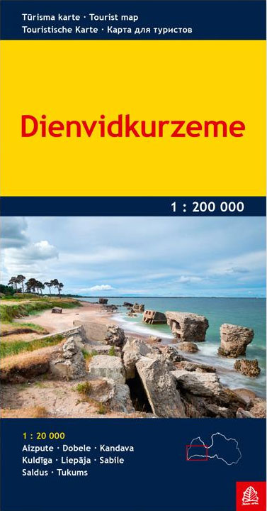
One of the titles in a series of detailed touring maps of Latvia with street plans of main towns. The maps, produced by Baltic States’ leading cartographic publisher, Riga based Jana Seta, show the country’s road network indicating unsurfaced roads and mark locations of petrol stations. Railway lines are shown with stations. Symbols highlight various


