Category Archives: Maps
Talsi – Dundaga – Roja Districts Jana Seta Map
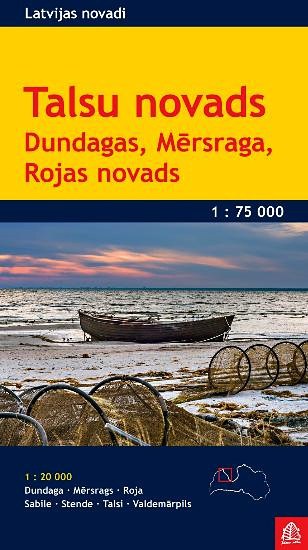
The environs of Talsi on a contoured and GPS compatible map at 1:75,000 from the Latvian publishers Jana Seta, with detailed presentation the road or rail networks, places of interest and tourist facilities, etc. Dundaga, Mersrags, Roja, Sabile, Stende, Talsi and Valdemarpils are also covered by street plans at 1:20,000.Maps in this series are double-sided
Valmieras and its Vicinity Jana Seta Map
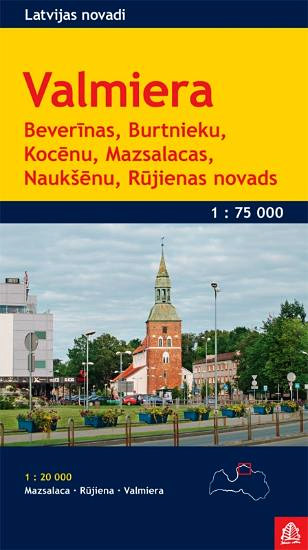
The environs of Valmiera on a contoured and GPS compatible map at 1:75,000 from the Latvian publishers Jana Seta, with detailed presentation the road or rail networks, places of interest and tourist facilities, etc. Valmiera, Mazsalaca and Rujiena are also covered by street plans at 1:20,000.Maps in this series are double-sided with a good overlap
Ventspils and its Vicinity Jana Seta Map
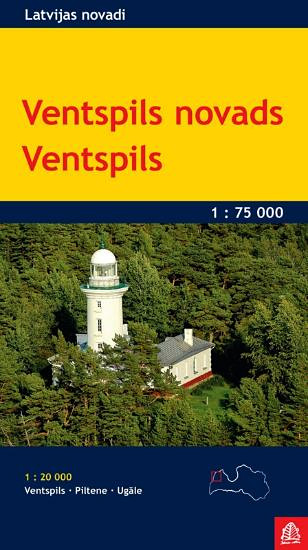
The environs of Ventspils on a contoured and GPS compatible map at 1:75,000 from the Latvian publishers Jana Seta, with detailed presentation the road or rail networks, places of interest and tourist facilities, etc. Ventspils, Piltene and Ugale are also covered by street plans at 1:20,000.Maps in this series are double-sided with a good overlap
Lithuania Jana Seta Road Map
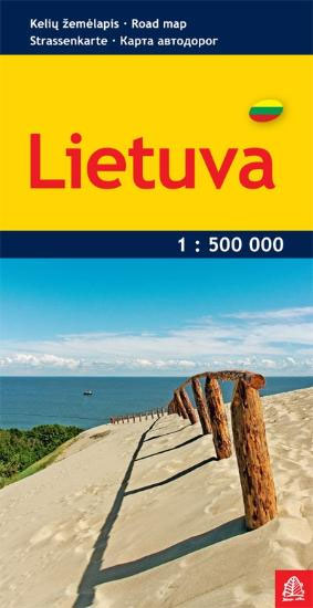
Lithuania at 1:500,000 on an indexed road from the Riga based Jana Seta. Coverage includes most the Kaliningrad Oblast of Russia, extending west to Kaliningrad, plus the north-eastern part of the Mazury Lake District of Poland, extending south to Mragowo, Elk and Augustรณw.The map presents road network in detail, distinguishing between paved, gravel and unsurfaced
Russia and the Neighbouring Countries Wall Map
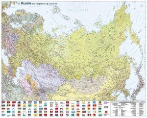
Russia and neighbouring countries wallmap from Jana Seta covering the whole country at 1:8,000,000 with a colourful panel of flags of Russia administrative units, Moscow and St. Petersburg, plus the ex-Soviet Union countries. The clear map at 1:8,000,000 with its projection provides coverage from London to the Bering Straight. The map covers not only Russia
Saldus and its Vicinity Jana Seta Map
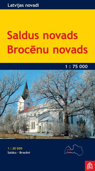
The environs of Saldus on a contoured and GPS compatible map at 1:75,000 from the Latvian publishers Jana Seta, with detailed presentation the road or rail networks, places of interest and tourist facilities, etc. Saldus and Brocen are also covered by street plans at 1:20,000.Maps in this series are double-sided with a good overlap between
Saaremaa – Hiiumaa Jana Seta Map
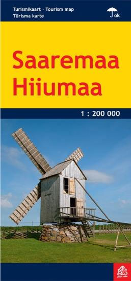
Hiiumaa and Saaremaa – Estonia’s Romantic Islands, the country’s most popular holiday destination, with streets plan of Kuressaare and Kรคrdla and a long list of various places of interest.The map shows the islands road network and ferry connections, with symbols highlighting numerous tourist facilities and places of interest, including accommodation, restaurants, beaches, sport and recreational
Latvia 500K Jana Seta Map
Latvia at 1:500,000 on a map from the country`s leading cartographic publisher Jana Seta, with plans showing access routes and main streets in Riga, Daugavpils, Jelgava, Liepaja, Rezekne Ventaspils and Valmiera. The map shows the country’s road network, including selected gravel roads and country tracks, indicating locations of petrol stations and border crossings, with driving
Latvia Jana Seta Large Road Atlas HARDBACK
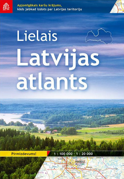
Latvia Road Atlas by Jana Seta.- Map of Latvia at 1:100`000 scale.- City and village plans at 1:20`000 scale.- Rich amount of natural, cultural and historical objects ‘” secular trees, secular stones, hill forts, cemeteries, churches, cultural and historical buildings.- More than 100 000 place names, more than 55 000 house names- Lightly depicted relief-
Latvia Jana Seta Compact Road Atlas
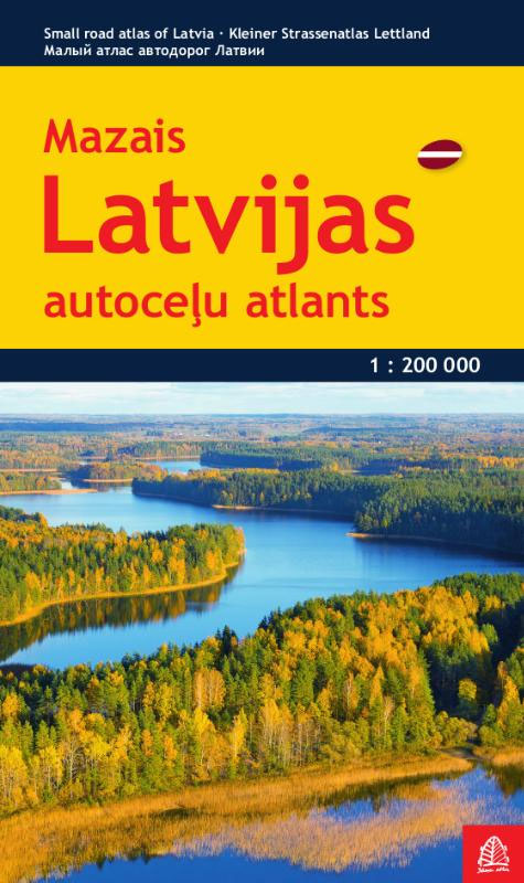
Latvia Road Atlas from the Riga based Jana Seta, in a glovebox paperback format with 17 street plans. The main section covers the whole of Latvia at 1:200,000, showing detailed classification of road network with petrol stations, and railway lines with stops. Boundaries of national parks and other protected areas are marked and a range
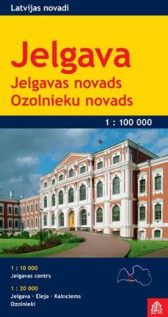
Jelgava – Ozolnieki Districts
Saldus district – Broceni District
District map in scale 1:100,000, in addition with Saldus and Broceni plans in scale 1:20,000City plans are supplemented with street index, wide range of reference information and photos.
Lithuania Jana Seta Compact Road Atlas
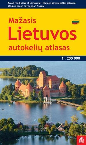
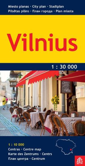
Lithuania Road Atlas from the Riga based Jana Seta, in handy glovebox paperback format with street plans of 19 towns, including an enlargement for city centre of Vilnius, The whole country is covered at 1:200,000, showing detailed classification of road network with petrol stations, and railway lines with stops. Boundaries of national parks and other
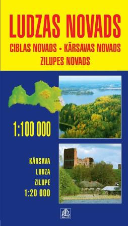
Ludza Region – Cibla – Karsava – Zilupe Districts
Estonia Jana Seta Road Map
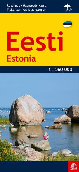
Estonia at 1:560,000 on a handy size, waterproof and tear-resistant map from Jana Seta, combining an indexed map of the whole country with transit plans of its principal cities: Tallinn, Narva, Tartu, Pรคrnu and Kuressaare.On one side is a map of the country at 1:560,000 providing an overview of its road network, including many local
Belarus Jana Seta Road Map
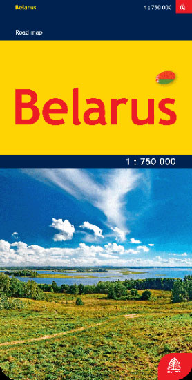
Belarus at 1:750,000 on an indexed detailed road map from the Riga-based Jana Seta publishers showing a large number of small villages and highlighting various locations of interest. All place names are shown transliterated. The map shows the country’s road network, including selected local dirt tracks, indicating driving distance on main routes and border crossings
Russia and the Neighbouring Countries Jana Seta Road Map
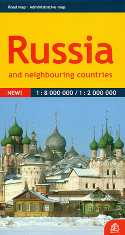
Russia on a double-sided map from Jana Seta combining coverage of the whole country at 1:8,000,000 with more detailed mapping at 1:2,000,000 of its western part. Extensive index is in a separate booklet attached on the map cover.On one side is a lovely clear map at 1:8,000,000 with its projection providing coverage from London to


