Category Archives: Maps
Kurzeme – Western Latvia Jana Seta Activity Atlas LAMINATED SPIRAL-BOUND
Zemgale – Southern Latvia Jana Seta Activity Atlas LAMINATED SPIRAL-BOUND
Vidzeme – Northern Latvia Jana Seta Activity Atlas LAMINATED SPIRAL-BOUND
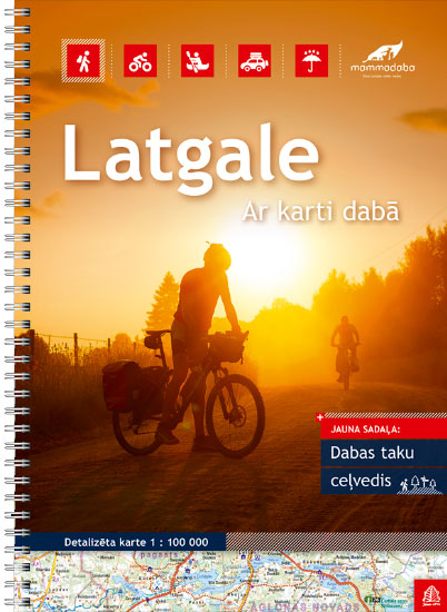
Latgale – Eastern Latvia Jana Seta Activity Atlas LAMINATED SPIRAL-BOUND
Latvia Jana Seta Activity Atlas Set LAMINATED SPIRAL-BOUND
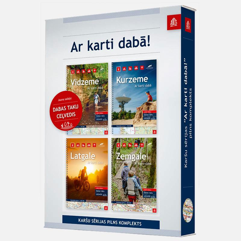
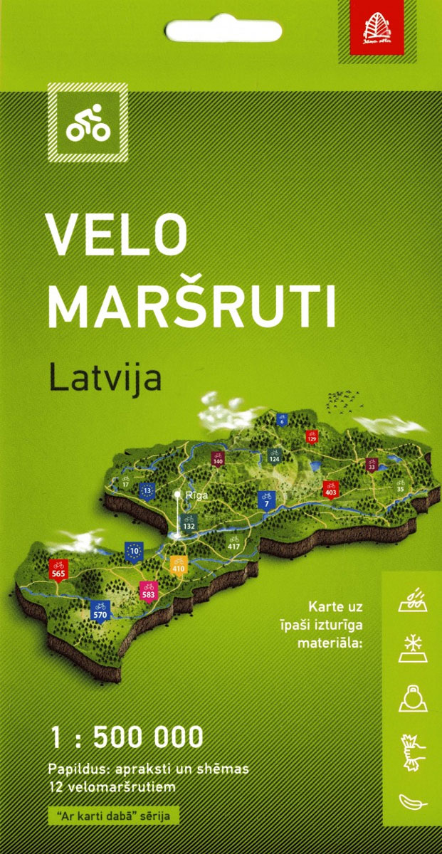
Latvia Set from 4 atlases by Jana Seta. Laminated, spiral bound atlases.- Kurzeme (Western Latvia)- Vidzeme (Northern Latvia)- Latgale (Eastern Latvia)- Zemgale un Vidusdaugava (Southern Latvia).Includes:- More than 60 nature trails- Distances for all boating rivers of Latvia- Cycling routes that are marked with the standard symbols in naturePage count: 60 pages, Vidzeme ‘“ 68
Old Riga Jana Seta Tourist Street Plan
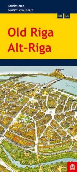
Edition 2018Scale for city center 1:10`000Panorama map of Old Riga with brief guide of palces of interest in English and GermanThe picture shows a territory of The Old Town, green zones of the channel, arch of Boulevards, surroundings of the train station and Central market as well as part of Pardaugava and building of the
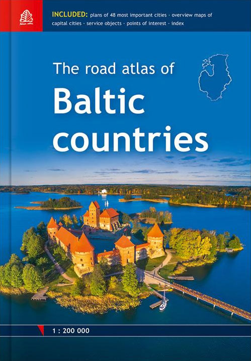
Baltic States Jana Seta Road Atlas
Skopje
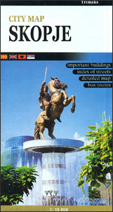
Street plan of Skopje at1:18,000 from the locally based Trimaks, presenting the Macedonian capital with its outer suburbs. On the reverse a large panels shows the city and suburban bus routes, and an enlargement presents the environs of Skopje. Coverage extends west to the exit onto the M1 motorway, north to Radiลกani and south-east to
Skopje Street Atlas
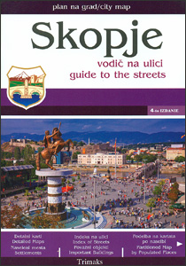
Skopje with its outer suburbs in a street atlas at 1:22,222 approx. from the locally based Trimaks, highlighting locations of various facilities and places of interest, , including hotels, banks, shopping malls, embassies, etc. Streets are shown with their names plus numbers and/or just numbers, and in some districts on housing estates individual buildings have
Macedonia Churches and Monasteries Map
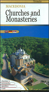
Road Macedonia at 1:300,000 from the Skopje-based publishers Trimaks highlighting locations of over 500 churches, monasteries and other institutions of the Macedonian Orthodox Church. All place names on the map are in the Latin alphabet. The index, grouped by Eparchy (dioceses), is next to the map. On the reverse, several locations have a short description
Saaremaa – Hiiumaa Jana Seta Map
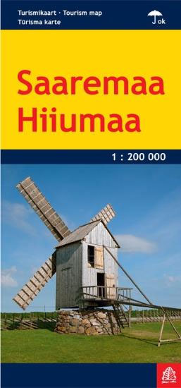
Hiiumaa and Saaremaa – Estonia’s Romantic Islands, the country’s most popular holiday destination, with streets plan of Kuressaare and Kรคrdla and a long list of various places of interest.The map shows the islands road network and ferry connections, with symbols highlighting numerous tourist facilities and places of interest, including accommodation, restaurants, beaches, sport and recreational
Latvia 500K Jana Seta Map
Latvia at 1:500,000 on a map from the country`s leading cartographic publisher Jana Seta, with plans showing access routes and main streets in Riga, Daugavpils, Jelgava, Liepaja, Rezekne Ventaspils and Valmiera. The map shows the country’s road network, including selected gravel roads and country tracks, indicating locations of petrol stations and border crossings, with driving
Latvia Jana Seta Large Road Atlas HARDBACK
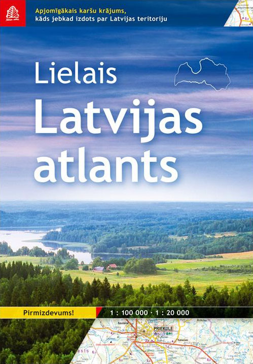
Latvia Road Atlas by Jana Seta.- Map of Latvia at 1:100`000 scale.- City and village plans at 1:20`000 scale.- Rich amount of natural, cultural and historical objects ‘” secular trees, secular stones, hill forts, cemeteries, churches, cultural and historical buildings.- More than 100 000 place names, more than 55 000 house names- Lightly depicted relief-
Pรคrnu Jana Seta Street Plan WATERPROOF

Pรคrnu on a waterproof and tear-resistant indexed street plan from Jana Seta, including on the reverse side, an enlargement of the city centre and descriptions of main places of interest.On one side is the city with its outer districts indicating locations of main places of interest. Principal traffic arteries are highlighted and one way streets,
Tartu Jana Seta Street Plan WATERPROOF

Tartu on a waterproof and tear-resistant indexed street plan from Jana Seta, including on the reverse side, an enlargement of the city centre and descriptions of main places of interest.On one side is the city with its outer districts indicating locations of main places of interest. Principal traffic arteries are highlighted and one way streets,
Riga and Vicinity Jana Seta Street Atlas
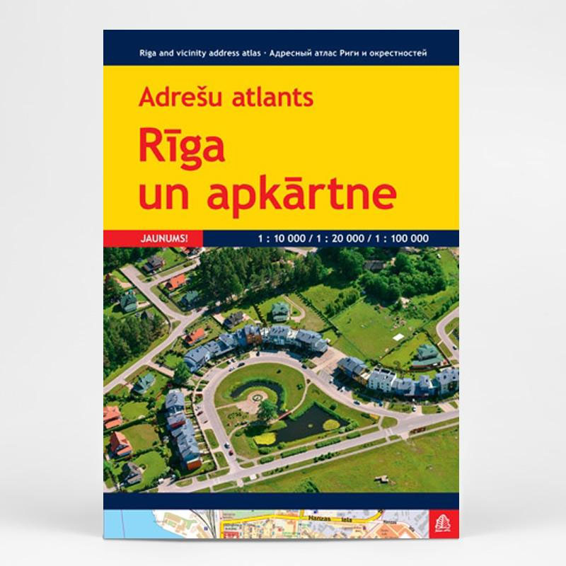
Riga street plan from Latvia’s leading map publishers Jana Seta, presenting the city with its outer suburbs at 1:20,000, plus a more detailed plan of the historic town centre and the adjoining districts at 1:7,000.The main plan presents Riga with its outer suburbs, with northern and southernmost parts of the city shown as insets. Streets
Lithuania Jana Seta Road Atlas HARDBACK

Road Atlas of Lithuania at 1:200,000 from the Riga-based Jana Seta in an A4 hardback format with indexed street plans of 57 towns, including enlargements for city centres of Vilnius, Kaunas and Klaipeda.The whole country is covered at 1:200,000, presenting detailed classification of the road network with petrol stations, and railway lines with stops. Boundaries


